725 results
Free geography classroom decors
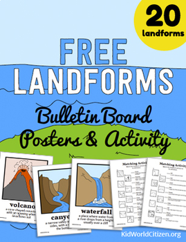
Free Landforms Bulletin Board Posters and Matching Activity
20 landform posters with illustrations and definitions, plus two matching activities! The landform vocabulary cards look stunning on a bulletin board, or they can be displayed digitally on the overhead projector to introduce your landforms unit. Teachers appreciate our design and clarity, and students love the illustrations.
Check out our full Landforms Unit!
Our Landforms Unit features an amazing Landform Flipbook, a Landform Minibook, A Landforms Memory Game, a Water or Land Activity, and an
Grades:
3rd - 5th
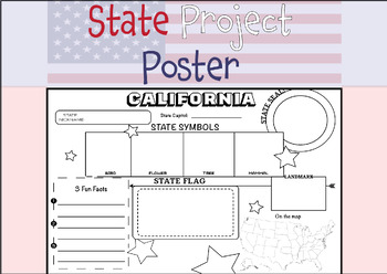
50 STATE RESEARCH PROJECT
These State Report poster templates are a fantastic resource that includes over 50 eye-catching posters to showcase your research project on any of the fifty United States. They are perfect for use throughout the year and are an excellent complement to social studies lessons, helping students to better organize their research. These state posters are not only useful for helping students to organize their research, but they also make great bulletin boards or hallway displays. Your students will b
Subjects:
Grades:
3rd - 12th, Higher Education, Adult Education
Types:
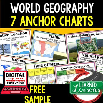
Geography Anchor Charts Sampler Free, World Geography Posters
Geography Free Anchor Charts (Great as Bellringers, Word Walls, and Concept Boards)(Great as Bellringers, Word Walls, and Concept Boards), Mapping Skills Posters, Geography Review Pages, Digital Activity via Google Classroom This bundle will take your through the entire Geography curriculum. It will include all components of Geography. This is perfect for traveling around the world in style. Sign up for email updates and follow me on TPT for updates.Anchor charts are great for representing
Grades:
6th - 12th
Types:
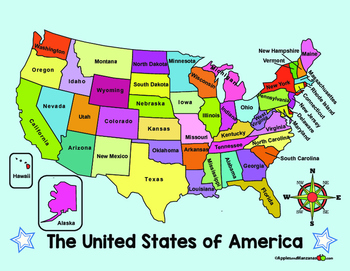
MAP of the US and COMPASS ROSE (in English)
ENGLISH VERSION of two full color maps of the US. One map lists the names of the states, the other map is left blank.
ALSO...One large compass rose and three smaller ones for display and projects.
Want it in SPANISH? Check out the free Spanish version in my store!
Subjects:
Grades:
PreK - 6th
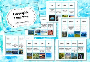
Geographic Landforms - Matching Activity
An excellent assessment for learning or vocabulary activity to start you off with your Landforms unit of work.
Students work individually or in groups to match the landform with its definition or matching picture.
Simply print out, laminate and cut up your cards - ready to go! Please note - "stream" and "creek" are interchangeable.
Landforms included in this set are: archipelago, bay, beach, canyon, cave, cliff, creek (interchangeable with stream), desert, forest, glacier, hill, iceberg, is
Subjects:
Grades:
3rd - 6th
Map and Globe Word Wall Vocabulary Cards - geography FREEBIE!
There are 50 map and globe word wall vocabulary cards included in this freebie pack. Words included:atlas, cartographer, compass rose, north, south, east, west, northeast, northwest, southeast, southwest, cardinal, intermediate, globe, northern hemisphere, southern hemisphere, eastern hemispere, western hemisphere, longitude, latitude, grid, coordinates, equator, prime meridian, axis, 0 degrees, scale, key, legend, symbols, North Pole, and South Pole and more. I also included 12 types of maps,
Grades:
2nd - 12th

Landform Dinosaur Review in English or Spanish
Use this as a review or to assess landforms. The dinosaur drawing gives a fun spin on a dry topic.
Included is a dinosaur page that students will label by referring to the list. The dinosaur and lists are provided in English and Spanish.
This was inspired by a Pinterest find and is not my original idea, it is free to all and designed to help you better take advantage of the super idea!
Subjects:
Grades:
K - 3rd
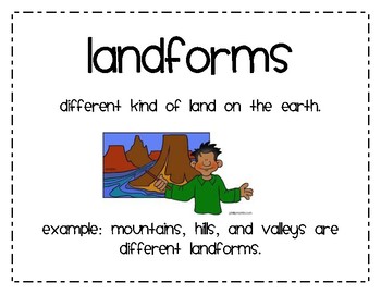
Landforms Second Grade
10 Word Cards that explain major types of landforms Made for a second grade social studies lesson on landforms.
Cards include a definition of landform as well as definition for 4 types of landforms:
Mountain
Hill
Valley
Plain
Ocean
Lake
Pond
River
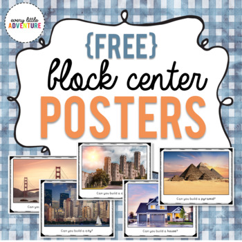
Block Center "Can You Build It" Posters
This freebie includes 5 signs for your classroom's block center. Your students can challenge themselves to see if they can build a house, a pyramid, a castle, a city, and a bridge!ALL IMAGES USED WITH PERMISSION.*****************************Looking for more ways to keep your preschoolers engaged? Try these hands-on activities! Bye Bye Fly We're Going on a Leaf Hunt!Apple Shape Sort GameBee Interactive Emotions Chart
Subjects:
Grades:
PreK - K
Types:
Landforms Vocabulary Powerpoint
A simple powerpoint to introduce young or ESL students to landform vocaulary. Covers mountai, island, valley, ocean, river, and hill.
Subjects:
Grades:
PreK - 2nd
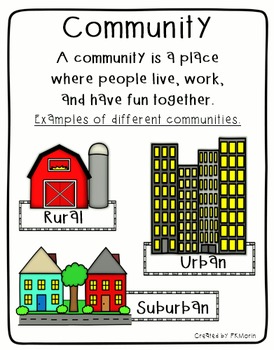
Rural, Urban, Suburban Communities Poster
Social Studies poster includes the definition of Community, plus image samples of 3 types of communities (Rural, Urban and Suburban). Also includes mini-posters with Rural, Urban and Suburban definitions.
By Patricia Morin
Subjects:
Grades:
Not Grade Specific
Types:
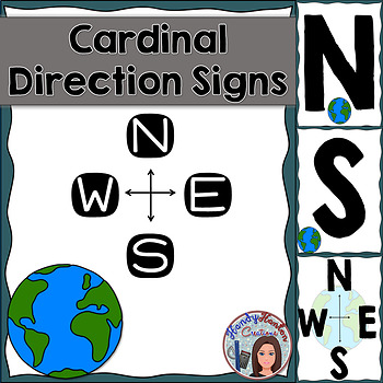
Cardinal Directions Geography Signs Blue
Hang cardinal direction and compass rose signs in your classroom to visually help your students with mapping concepts.
Product includes:
• North
• South
• East
• West
• Compass Rose with North, South, East, and West
• Compass Rose with N, S, E, and W
You might also be interested in:
The United States and Capitals Geography Review Activities and Assessment BundleThe United States and Capitals Geography Northeast Region Freebie SampleThe United States and Capitals Geography Review Activities
Subjects:
Grades:
K - 12th
Types:
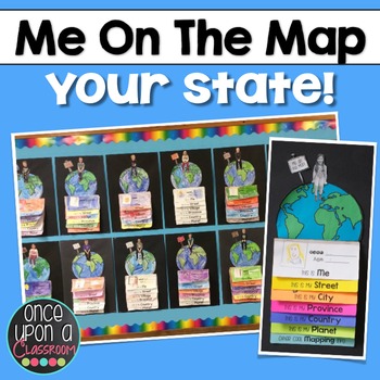
Me on the Map - Master Index
This is a master list of all the currently available "Me on the Map" state specific packs.Elevate your Local Community or Global Community units with this interactive flip book activity! Not only will students gain an understanding of their place in the world but you will have the BEST bulletin board display in the entire school showcasing their amazing learning! Parents LOVE seeing these at Open House!Each pack includes:1. Full page-by-page assembly instructions with photographs of an actual
Subjects:
Grades:
K - 3rd
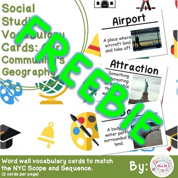
FREEBIE 2nd Grade Social Studies Vocabulary Cards: Our Community's Geography (L)
This packet contains 70 vocabulary cards with definitions and pictures addressing the NYC Social Studies Scope and Sequence Unit 1: Our Community's Geography. This set is the same as the other file but with larger cards.
Contains some of the following words:Airport
Attraction
Bay
Beach
Bicycle Lane
Big Apple
Bird’s-Eye View
Borough
Boundary
Canal
Cardinal
Directions
Cartographer
Citizen
Community
Compass Rose
Continent
Country
Cultural
Capital
Double-Decker Bus
Elevated
Entertainment
Enviro
Grades:
K - 3rd
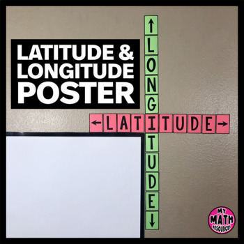
FREE Latitude & Longitude Poster - Classroom Decor
These simple latitude and longitude posters are a cute addition to ANY classroom! Wrap them around the corner of your whiteboard or bulletin board and they hardly take up any space at all.These posters will help your students remember the difference between latitude and longitude. And they are free!This is a black & white DIY poster. Print the pieces you want to use, cut them out, and assemble your poster. If you want your poster to look like mine, you'll need to print it on Astrobrights
Subjects:
Grades:
Not Grade Specific
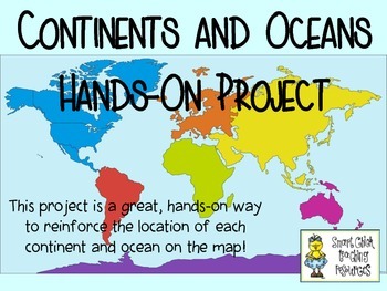
Continents and Oceans ~ Hands-On Project Idea ~ FREE!
This is a fun, hands-on project that will help your students learn the locations of the continents and oceans of the world on a map. Directions and pictures are included!
Subjects:
Grades:
4th - 6th
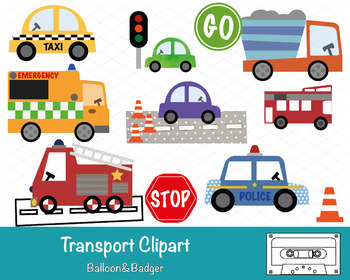
Transport Clipart
This pack of clipart contains 14 images including; Taxi, Ambulance, Fire Engine, Police Car, Bus, Stop & Go Signs, Construction Truck, Road textures and traffic lights.Each clipart illustration is included separately as a high resolution PNG file with a transparent background.Each object is provided at a size of approximately 12 Inches on its longest side and is at a high resolution (300 dots per inch). The PNG format allows it to be scalable to any size required. No watermarks will appear o
Subjects:
Grades:
PreK - K
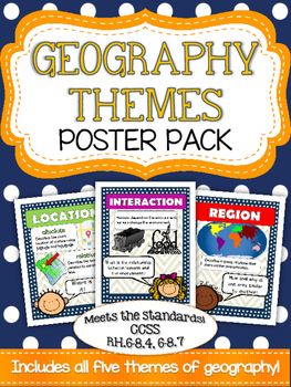
Five Themes of Geography Poster Pack
Mrs. K in the Middle brings you yet another quality product targeting essential vocabulary! Anchor your geography unit with these five basic themes posters! Bright and colorful graphics highlight place, location, region, movement and interaction. Use these posters to introduce a topic and to reinforce as you build your unit!
Subjects:
Grades:
5th - 8th
Types:
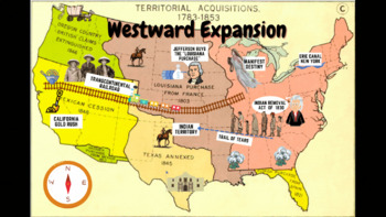
Westward Expansion Visualizer GIF
GIF (moving animated picture) showcasing major topics during the Westward Expansion unit. Based on NYS Social Studies standards, topics in GIF include Gold Rush, Indian Removal Act, Trail of Tears, Transcontinental Railroad, Louisiana Purchase, Erie Canal, and Manifest Destiny.Totally FREE for YOU!
Grades:
5th - 12th
Types:
CCSS:
FREE Map Geography Vocabulary Word Wall
Want a colorful, illustrated word wall for your map geography unit? Print on card stock and laminate, and you will get years of use out of these cards. 23 terms are included, Geography*23 terms-Compass Rose-Axis -Equator-Hemispheres-Globe-Latitude -Longitude-Legend -Title-Political Map-Physical Map-Prime Meridian-Scale-Global Positioning System-Africa-Antarctica-Asia-Australia-Europe-North America-South America-Continents-Cardinal DirectionsI do not own the clipart- it was made by TPT seller A
Subjects:
Grades:
2nd - 8th
Types:
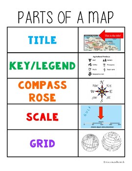
Parts of a Map Anchor Chart
Hang in your classroom or glue into student notebooks for a quick visual reminder of the parts of a map.
Subjects:
Grades:
Not Grade Specific
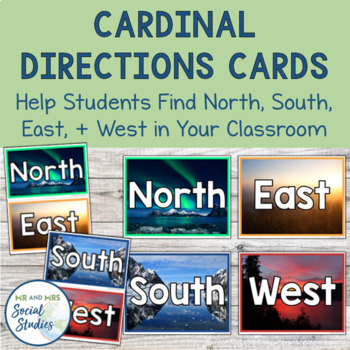
Cardinal Directions Cards | North South East West
This FREE cardinal directions printable is a must for your social studies classroom! The presence of these North, South, East, and West cards in your classroom helps students apply what they are learning about cardinal directions and helps them get their bearings.With three different designs and three different sizes included, you can choose the option that is best for you and place those North, South, East, and West cards up on your walls! Simply print and attach to your walls!The 3 designs inc
Grades:
6th - 9th
Types:
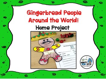
Gingerbread People Around the World! Home Project
Are you teaching a Christmas Around the World unit in your classroom? If the answer is yes, this is the perfect addition! This home project asks your students to choose a country and decorate their gingerbread person accordingly!It includes:* parent letter w/ suggested web resources* gingerbread man printable template* SUPER CUTE boarding pass sheet for creative response!* Bulletin Board IdeaTHIS IS PART OF MY CHRISTMAS AROUND THE WORLD UNIT! Click below to check it out!Christmas Around the Worl
Grades:
1st - 2nd
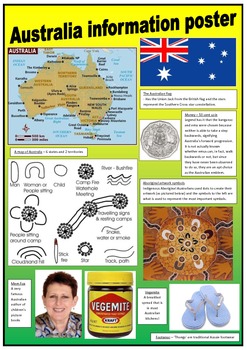
Australia - Information posters
These 2 posters contain simple information about Australia to support learning more about my beautiful country!
These posters can be used for displays in the classroom.
The pictures have been obtained using 'google' images.
Grades:
PreK - 4th
Types:
Showing 1-24 of 725 results


