558 results
Free geography graphic organizers
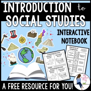
Introduction to Social Studies Interactive Notebook Graphic Organizers FREEBIE
These interactive notebook graphic organizers will help students organize information about their unit on the introduction to Social Studies!Interactive notebooks are an effective tool in the classroom. Not only can they assist students in keeping their work organized, but they are also an easy-to-access resource for reference throughout the year. The Introduction to Social Studies Interactive Notebook Graphic Organizers resource is intended as a resource for late-elementary and middle school ag
Grades:
5th - 8th
CCSS:
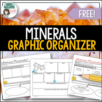
Minerals - Graphic Organizer
Minerals - An easy-to-use graphic organizer to help students learn or review the characteristics of a mineral and the ways we can identify them. A great tool to use for review or instead of traditional note-taking.Includes a two-page graphic organizer to review the characteristics of a mineral, how minerals are formed, as well as techniques used to identify them.Also includes an answer key!**This item is also included in my Rocks and Minerals Package - check it out by clicking the link below!Ro
Subjects:
Grades:
6th - 10th
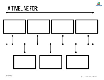
Blank Timeline Template
This is a blank generic timeline that students can fill in.
Grades:
Not Grade Specific
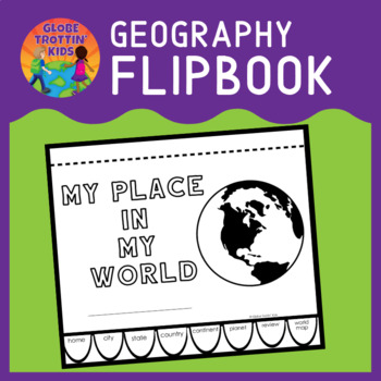
Me on the Map Geography Flip Book
Our geography flip book helps young explorers understand their place in the world. Starting from the concrete (their home) and moving to the abstract (our solar system), students develop an understanding of location. My Place in My World is engaging, interactive, and NO PREP! Just print, cut, and staple across the top.My Home Students enter the street number and street name of their home (include an apartment number, if applicable). The illustration can show the inside or outside of their home.
Subjects:
Grades:
1st - 4th
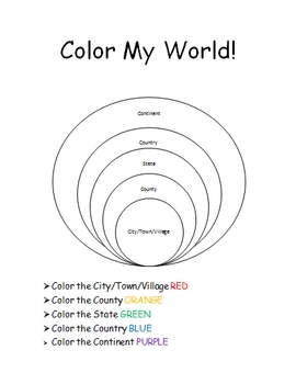
The World Where I Live...
This is a jam-packed, 40 page unit full of multi-sensory and multi-grade-level activities all centering on the relationships between the following concepts: city/town/village, county, state, country, continent, and community helpers. The following mathematical concepts are also explored: range, median, mode, and average (mathematical mean).
The following activities are included in this unit: Key vocabulary exercise, coloring Venn diagram activity, "Greater Than, Less Than" activity page, "My
Subjects:
Grades:
K - 8th
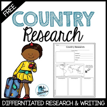
Country Research Graphic Organizer Freebie
Country Research
This simple research graphic organizer is designed to help early learners research information about any country. It is a great tool for social studies or writing. There are two graphic organizers to help differentiate to fit your students' needs. Also included are two writing pages with a place to illustrate the country's flag. Enjoy the freebie!
What is included?
2 differentiated graphic organizers
writing page with handwriting lines
writing page with regular lines
Other Re
Subjects:
Grades:
K - 3rd
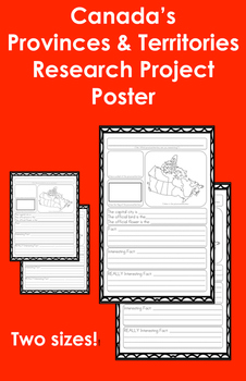
Canada's Provinces & Territories Research Project Poster
For each province or territory the students will need to:
*Include a title
*Shade in the province or territory on a map of Canada
*Draw the shape of the province or territory OR draw the official flag of the province or territory *This is the only variation between the two versions
*Draw a symbol of the province or territory (i.e. the official bird or flower)
*Include the capital city, the official bird, and the official flower
*Include one "fact", one "interesting fact", and one "REALLY intere
Grades:
1st - 3rd
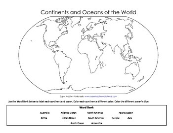
Continents and Oceans Map Labeling PDF Format
This is the same Continents and Oceans Map Labeling handout that I uploaded recently.
This is the PDF version of the same file.
Subjects:
Grades:
2nd - 4th
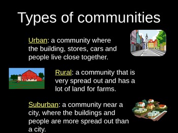
Urban, Suburban, and Rural PowerPoint Lesson with Graphic Organizer
Use this lesson to compare different types of communities.
Objective: The student understands how physical characteristics of places and regions affect people's activities and settlement patterns. The student is expected to: identify the characteristics of different communities, including urban, suburban, and rural, and how they affect activities and settlement patterns.
Subjects:
Grades:
K - 5th
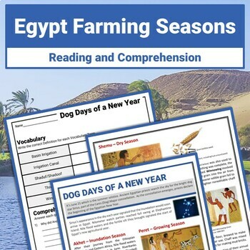
Ancient Egypt Farming Seasons Reading Passage and Comprehension Worksheets
Discover how the Sirius Star Constellation signaled the beginning of Ancient Egypt's Agricultural year. Enhance your exploration of Ancient Egypt Geography and the Nile River with this fun 2-page Reading Passage and Differentiated Comprehension Worksheets. Sample Words Wall Slides are also included. Unlock access to 10+ FREE BONUS PAGES when you click on the link in the resource PDF. This free resource is part of my Ancient Egypt Geography and Agriculture Reading Passages and Comprehension Reso
Grades:
6th - 9th
Types:
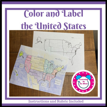
Color and Label the United States
Easy to GradeDo you dislike grading those large detailed projects? This US map activity is designed to be graded in class as the students finish. This project is fun and educational for the students but will not require your weekend to grade. No prep, just print and go.Product Description• United States Map• Identify neighboring countries• Color and label the Great Lakes• Color the Regions• Rubric Included• Directions are on the RubricExample/Answer Key IncludedInstructionsPrint rubric and ma
Subjects:
Grades:
4th - 7th
Interactive Social Studies Notebook Kit -- SAMPLE!
The printables in this sample are perfect for the "Reflection" side of your students' Social Studies Interactive Notebooks. They are very easy to incorporate into any lesson plan and can be used in most grade levels and topics of study (in Social Studies). Enjoy!
Included in this file:
1. Insta-Snaps
2. Get Your Game On
3. Create A Can
4. Chief Executive Voicemail
5. Graffiti Wall
6. Dumpster Diving
7. Txt Msg Sumre
This file is just a SMALL sample of my complete Social Studies Interacti
Grades:
5th - 10th

Travel Brochure Template
This travel brochure template can be used for practicing research skills in younger grades (2nd or 3rd). Not only can this be used to demonstrate research of far away places via research books or the internet, but can also be used for much simpler, first-hand tasks like researching the library, nurse's office, classroom next door, friend's house etc. This may be a fun activity for the first week back to school. On the template itself, the three blank squares in the top portion and for students t
Subjects:
Grades:
1st - 3rd
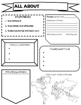
Country Report Research Graphic Organizer
An easy to use graphic organizer to help students complete a research project about a country of their choosing! I had them make a PowerPoint following their graphic organizer, 1 slide per section.
Subjects:
Grades:
2nd - 4th
FREE - Geography World Map (Grades K-12)
FREE - Geography World Map (Grades K-12).A free world map outline for all social studies occasions: continents, history, cultures, physical, political, and specialty.• Map sized 8.5x11" in PDF & PNG. (Resize PNG image or outline in Sharpie for any blur issues.) • Outline format allows for teaching geography your way!+ + + + + + + + + +This listing is part of 110 USA & World Maps, which includes the following:USA (28)• USA – 13 Colonies• USA – Civil War 1860• USA – Electoral Map•
Grades:
K - 12th
Also included in: Top Sellers on TpT
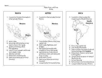
Maya, Aztec, Inca Notes
No Frills Here! This is a simple set of 3 column notes that addresses the Ancient Americans: Maya, Aztec, and Inca. I distribute and use these notes as a guide to "tell a story" to my students when teaching United States history. It also includes a map of North America labeled with 9 physical features. This is aligned with the Louisiana 5th grade Comprehensive Curriculum for social studies. Check my shop for the test that goes along with these notes.
Subjects:
Grades:
5th
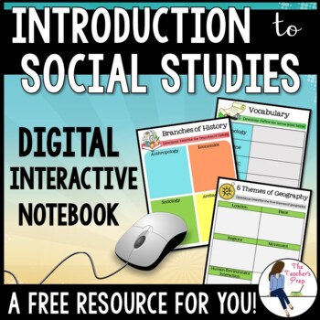
Introduction to Social Studies Digital Interactive Notebook for Google Drive
These digital interactive notebook graphic organizers will help students organize information about the study of Social Studies. They are compatible with Google Drive and TpT Easel!This FREE resource is a great way to engage your students while using the technology at their fingertips.Why should you use a Digital Interactive Product? *No cutting, gluing or paper needed! *Students work directly with their own copy of the file and their work is saved automatically on their Google Drive account *En
Grades:
5th - 8th
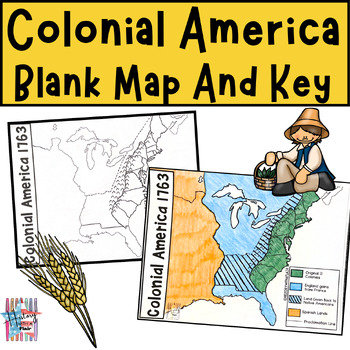
Colonial America Map and Key, 13 Colonies, Early American Interactive Map
This Colonial America Map Activity is a great tool to use in your Colonial America unit or as a precursor to your American Revolution unit. Students can either follow along with the teacher as you color the map, while discussing the ownership of the land, or they can use a textbook/internet to find the answers themselves. Included you will find a blank map (I recommend making copies on white cardstock so the map is more durable and will last through your unit) as well as a colored map as a refer
Grades:
3rd - 8th
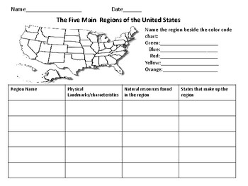
The Five Regions of The United States
This page includes a map of the U.S. in which students color-code the different regions of the U.S. There is also a chart in which students can take notes about the landforms/ characteristics of each region as well as other important information.
Grades:
Not Grade Specific
ColorCode Map & Table: Different Forms of Governments Around the World
I use these worksheets as a round-robin activity. Every student receives a worksheet with a table showing different government systems, locations around the world, definition of each system, pros/cons of each system...etc. All students also receive a world map to color code the government systems they learn about.Put desks into six groups in the classroom. Tape the handout of one government system per desk group. After 5 minutes of filling out the table worksheet from the designated governme
Subjects:
Grades:
6th - 9th
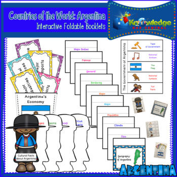
Countries of the World: Argentina Interactive Foldable Booklets - FREE
Explore Argentina as you create these interactive foldables for your Interactive Notebook or Lapbook.These 4 foldables cover:*The geography of the Argentina*Economic facts about Argentina*The government of Argentina*Cultural facts about ArgentinaThis ebook is a downloadable PDF file. Just follow the instructions, cut, fold, glue, and create!Don’t miss our other Countries of the World Interactive Foldable booklets!Countries of the World: Argentina Interactive Foldable Booklets – EBOOKCountries of
Subjects:
Grades:
Not Grade Specific
Also included in: Countries of the World Interactive Foldable Booklets BUNDLE - EBOOK
Continent Passport
Explore the seven continents with this passport booklet! Simply set to print double sided and you should have a 1/2 page booklet with dedicated pages for each continent. Each week my 2nd grade students explore a different continent. Throughout the week we discuss maps, people, and animals. The passport is something we complete on Friday as a mini assessment. Students who can correctly complete the information get their passport "stamped" with a stamp representing something from the continen
Subjects:
Grades:
1st - 3rd
Flip Book for teaching about Continent, Country, State and City
****Please take a moment to rate this product, I really appreciate your feedback. Thank you.
With this flip book, the students will have a visual aid when determining their location on the globe. The size and order of the circle correlates with the size and order of the location. Example: continent is the largest circle and comes first.
I included a cover page with detailed instructions and suggestions for discussion questions that can be seen when this product is downloaded!
Subjects:
Grades:
1st - 6th
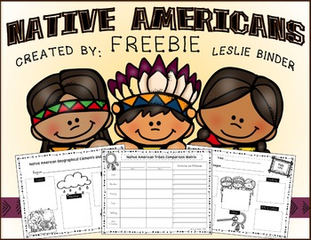
Native Americans {Freebie}
NATIVE AMERICANS
WHAT'S INCLUDED
-“Native American Geographical Elements and Tribes” graphic organizer (individual region)
-“Native American Daily Life” graphic organizer (individual tribe and region)
-Native American Tribes Comparison Matrix
This is a sample from my much larger Native Americans product.
Link-NATIVE-AMERICANS
*****************************************************************************
You can also follow me on the following social media outlets for product updates and upcomi
Grades:
2nd - 4th
Showing 1-24 of 558 results


