261 results
Free geography study guides
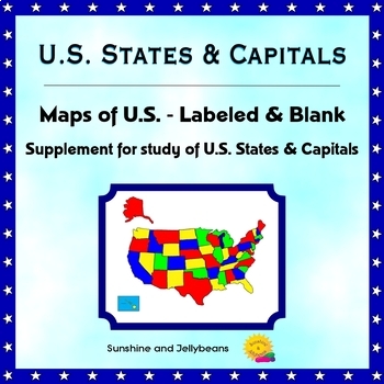
U.S. States & Capitals - Labeled & Blank Maps for Study and Practice - Geography
This set of maps is a perfect supplement to any study of the U.S. states and capitals.The set includes:Color map of the U.S. with states labeledBlack-and-white map with all states and capitals labeledBlack-and-white map with no labels, for student practice.The black-and-white maps can be easily photocopied for classroom use.This set is designed to work with the worksheets, flash cards and activities in my U.S. States & Capitals Bundle: U.S. States & Capitals BundleProducts included in t
Grades:
4th - 7th
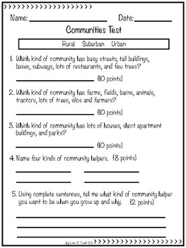
Communities
This can be used as a worksheet and/or a test over the different communities - Urban, Suburban and Rural. It also asks about community helpers. I used this in my 1st/2nd grade combined class and they all did really well on it.This product is for use in one classroom only. Please send friends who would benefit from this product to my store. Thanks.This is my first product on TpT, so please leave feedback. Thanks.
Grades:
1st - 3rd
Types:
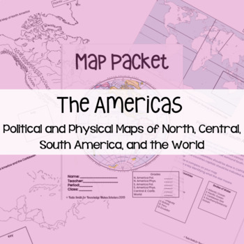
Maps: Political and Physical of North, South, Central America
I feel that it is important my students know about geography before they can understand the places I am going to be talking about. This resource has two formats: 1 - PowerPoint - Editable (You might want to cut down how many countries they label)2 - PDF - Ready to PrintThe map packet includes: 1 - North America Political Map2 - North America Physical Map3 - South America Political Map4 - South America Physical Map5 - Central America & Caribbean Political Map6 - Central America & Caribbea
Subjects:
Grades:
6th - 12th
Types:
Also included in: CCSD 7th Grade History Back to School Bundle
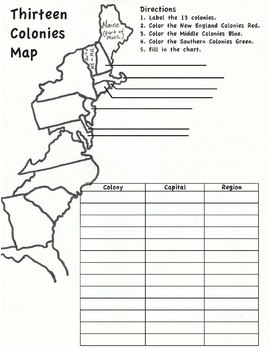
13 Colonies Map Worksheet
Blank map of the 13 colonies with directions for labeling and coloring. There is also a chart to list the colonies, the region they were in, and their current capitals.
Subjects:
Grades:
5th - 8th
Types:
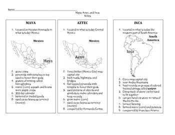
Maya, Aztec, Inca Notes
No Frills Here! This is a simple set of 3 column notes that addresses the Ancient Americans: Maya, Aztec, and Inca. I distribute and use these notes as a guide to "tell a story" to my students when teaching United States history. It also includes a map of North America labeled with 9 physical features. This is aligned with the Louisiana 5th grade Comprehensive Curriculum for social studies. Check my shop for the test that goes along with these notes.
Subjects:
Grades:
5th
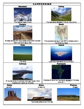
Landforms & Bodies of Water Flashcards, Notes, & Assignment
Includes:*Landform & Bodies of Water notes (2 pages)*Landform & Bodies of Water notes with no pictures (2 pages)*20 Landform & Bodies of Water flashcards, pictures only (5 pages)*20 Landform & Bodies of Water flashcards, pictures & definitions (5 pages)*Landform Island instructions and checklist (1 page)The note sheet gives the name of each feature, a definition, and a picture. I give students this note sheet to use as a reference when completing the Landform Island assignmen
Subjects:
Grades:
2nd - 3rd
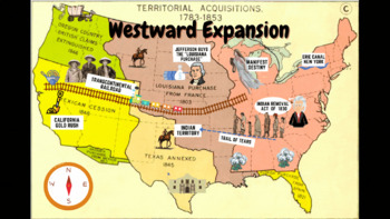
Westward Expansion Visualizer GIF
GIF (moving animated picture) showcasing major topics during the Westward Expansion unit. Based on NYS Social Studies standards, topics in GIF include Gold Rush, Indian Removal Act, Trail of Tears, Transcontinental Railroad, Louisiana Purchase, Erie Canal, and Manifest Destiny.Totally FREE for YOU!
Grades:
5th - 12th
Types:
CCSS:
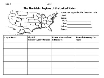
The Five Regions of The United States
This page includes a map of the U.S. in which students color-code the different regions of the U.S. There is also a chart in which students can take notes about the landforms/ characteristics of each region as well as other important information.
Grades:
Not Grade Specific
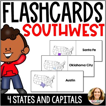
FREE States and Capitals Southwest Region Flashcards and Match Game - Test Prep
Help your students learn the 50 states and capitals with these printable flashcards for the Northeast region. One side shows the state within the United States to help with location, and the other side names the capital. Fold down the middle line for flashcards or cut them in half for a matching activity. Label on the back for quiz-quiz-trade!States include Texas, Oklahoma, New Mexico, and Arizona. Other States and Capitals Products✎ 50 States and Capitals Game and Printables - PowerPoint and Go
Subjects:
Grades:
3rd - 5th
Types:
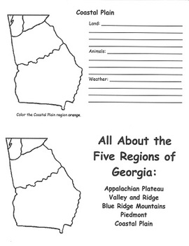
Georgia Regions FlipBook Template
This flipbook was designed to help 2nd grade students meet Georgia Performance Standard SS2G1(a). Students create flipbooks that describe the unique characteristics of the land, animals, and climate of each of the 5 regions of Georgia's geography.
Subjects:
Grades:
2nd - 3rd
Types:
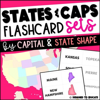
FREE 50 States and Capitals Flashcards for the United States
This US States and Capitals resource is a quick and easy flashcard resource for studying the 50 United States and their capitals.Download Includes:This 43 page document includes up to four flashcards per page for easy printing. Once printed and cut in strips, the strips can be folded in half to create easy flash cards for studying. Includes 3 sets of flashcards:1. State name and capital name2. State name and state shape (in color)3. State name and state shape (in black and white)Prep: Print, cut
Grades:
3rd - 5th
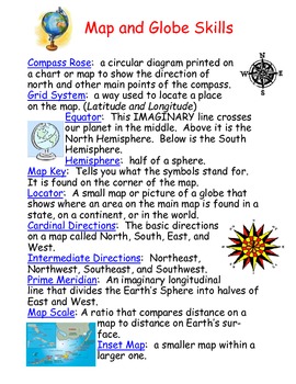
Map and Globe Skills Vocabulary
This Vocabulary Sheet is a great way to introduce key map and globe skills vocabulary.
Understanding and interpreting map skills falls under:
SS.5.G.1.1
SS.5.G.1.2
SS.5.G.1.4
If you find this product useful, please feel free to download and leave a review. Thank you! :)
Subjects:
Grades:
3rd - 6th
Types:
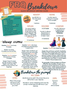
AP Human Geography - FRQ Quick Writing Guide
Use this one-page handout to remind your students of College Board's expectations for writing free response questions. Use this handout digitally or print it for students to use while they write their FRQs for AP Human Geography class!
Grades:
9th - 12th, Staff
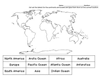
Continents Cut & Paste
Have students cut and paste labels for 7 continents and 4 oceans.
Subjects:
Grades:
1st - 4th
Types:
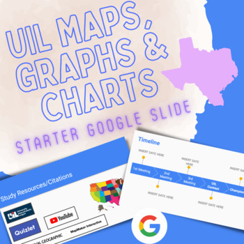
UIL Maps, Graphs & Charts Starter Resource for Students || Google Slides
This is a Google Slide resource to push out to Google Classroom to give your students on your UIL team a platform and study guide for the UIL event (Texas) Maps, Graphs, and Charts. It is also a good resource and guide/starting point for someone new to coaching a UIL event. The resource includes the following slides:1) Intro Page - Editable to put name of coach and team name (School)2) Timeline of practice times and event schedule (dates of events)3) General Contest Information4) About the Test5
Subjects:
Grades:
5th - 8th

13 Colonies workheet or test
This digital download contains the following: One page showing the labeled 13 colonies and mnemonic device ideas for memorizing them in order. There are two versions of a worksheet or assessment. These pages have a word bank with the colonies listed and the student will match the colonies with the correct numbered colony.
Subjects:
Grades:
2nd - 5th
Types:
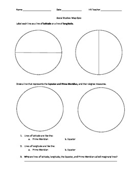
Various Map Skills
This can be used as a study guide, classwork, or an assessment. Students have to label the Equator and Prime Meridian, along with lines of latitude and longitude. They also have to label a Compass Rose with cardinal and intermediate directions, and use the Cardinal Directions to read a map and answer questions. This is great for 3rd graders, but can be used for accelerated 2nd graders or as an extension for them, along with a review for 4th and 5th graders.
Subjects:
Grades:
2nd - 5th
Types:

Africa Geography Study Map
This map was created for students, grades 6-8, to study African geography, specifically to memorize the countries, capitals, and major bodies of water in and around Africa. There is a numbered map and a quiz schedule if you want to create your own Africa quizzes. The map is current and includes South Sudan.
Grades:
5th - 12th
AP Environmental Science Geography Review-distance learning
This 8 page lesson requires students to review the countries, regions and places where important environmental science events took place such as Chernobyl, Fukushima, and Bhopal, India. The specific questions align with released AP Environmental Science exams.In addition, students review the locations of the major biomes, and major plate tectonic locations such as volcanic island arcs and hot spot volcanos. They also review which countries lead the world in the different energy sources. For ex
Subjects:
Grades:
9th - 12th
Types:
Geography - Landforms and Bodies of Water - Aligned with Common Core
Five pages from my whole unit on Landforms and Bodies of Water - aligned with common core standards. These re easy to use activities, informational text, writing activities, worksheets, printables, inquiry experiments and even assessment.
Subjects:
Grades:
2nd - 4th
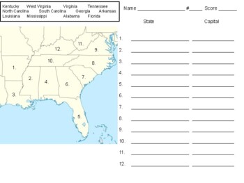
Southeast Region Map
A map of the Southeast region of the United States, students are required to provide the state and capital. This could also be used as a quiz for the region.
Subjects:
Grades:
3rd - 5th
Types:
5th Grade Social Studies - Guided Notes for Native American Cultural Regions
Keeping students engaged in social studies and history lessons and helping them remember the huge amount of content in a year can be tough. This product can help by providing a structure for students (and teachers) to dig deeper into the historical content you are teaching which will allow them to begin making deeper connections like cause and effect relationships and analyzing events from multiple perspectives. Best of all it can be used alongside any curriculum your school has adopted and i
Grades:
5th
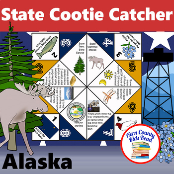
Alaska State Facts and Symbols Cootie Catcher Activity Printable
North to the future! Learn fun facts all about Alaska for students studying the 50 U.S. States and geography, Alaska state history and symbols, or U.S. history and the Klondike gold rush. ***Lucky you! Alaska is my FREE Sample State Facts and Symbols Cootie Catcher to view what is typical (state symbols and facts vary) for each state.***These facts about the state of Alaska are included:· State Flag· State Seal· Capital: Juneau· State Mammal: Moose· State Flower: Alpine Forget-Me-Not· State Bird
Grades:
3rd - 6th
Types:
Continents and Oceans Powerpoint Review
Click through this PowerPoint to review the seven continents and five oceans! This is a great review for VAAP testing of thread HS-G 12 a, but also is a great way to review before a test!
Subjects:
Grades:
1st - 8th
Showing 1-24 of 261 results


