34 results
Geography Common Core RST.6-8.7 resources
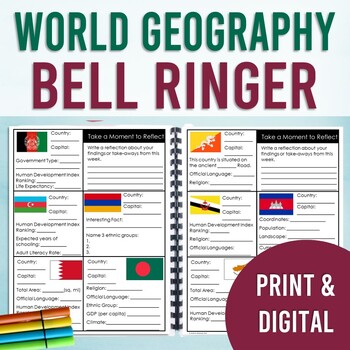
World Geography Bell Ringer: All Countries of the World (Year Long Entry Tasks)
By the end of the year, your students will have gained a broad understanding of 200+ countries, territories, and special collectives of the world. Discover facts and use the internet to research important data about a different country every day (5 days a week) with this bell ringer. This resource covers both physical and human geography. Answer keys are included.PLEASE CLICK THE PREVIEW FOR MORE INFORMATIONDigital & Print: This bell ringer includes both a print version and a digital version
Grades:
7th - 10th
Types:
CCSS:
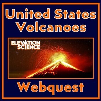
Volcano Activity ACTIVE Volcanoes of the United States Plate Tectonics Webquest
GOOGLE DOCS AND PRINT VERSION INCLUDED! In this FUN plate tectonics activity, students find REAL data about ACTIVE volcanoes in the United States.The worksheet provides a structured format for students to get the most out of the U.S. Geological Society's website, an up-to-date interactive map of ACTIVE volcanoes in the United States. Students are engaged because they choose the volcanoes they research during the webquest.This webquest covers the following:The relationship between tectonic plate
Subjects:
Grades:
6th - 9th
NGSS:
MS-ESS2-2
Also included in: Plate Tectonics Activity Webquests BUNDLE Ring of Fire and US Volcanoes
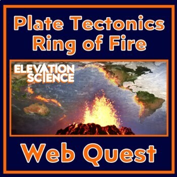
Plate Tectonics Volcanoes In the Ring of Fire Activity Webquest
GOOGLE DOCS AND PRINT VERSION INCLUDED! In this FUN plate tectonics activity, students find REAL data about 3 volcanoes in the Ring of Fire. The worksheet provides a structured format for students to get the most out of the Global Volcanism Program’s interactive, an up-to-date map of volcanoes throughout the world. Students are engaged because they choose the volcanos they research during the webquest.This webquest covers the following:The relationship between tectonic plate boundaries and vo
Subjects:
Grades:
7th - 9th
Types:
NGSS:
MS-ESS3-2
, HS-ESS3-1
Also included in: Plate Tectonics Activity Webquests BUNDLE Ring of Fire and US Volcanoes
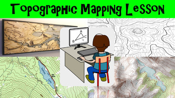
Topographic Mapping Lesson with Worksheet, Power Point, and Map Reading Activity
This lesson goes over how topographical maps are constructed, what their symbols mean, and what we use these maps for. The worksheet follows along with the power point presentation to keep students engaged. The map reading activity gives a students a simple topographic map that they have to answer questions by interpreting the map. This lesson is designed for late elementary through intermediate grades.
Key Terms Include:
- topography
- contour lines
- contour intervals
- index contours
- scal
Subjects:
Grades:
4th - 8th
Types:
Layers of the Atmosphere Build an 8-foot Scaled-Down Model of our Atmosphere
Create an 8-foot-tall (2.4m), scaled-down model of our atmosphere and discover cool information about our atmosphere at the same time! Students will also learn a little history about humankind's ventures into our atmosphere.Includes Troposphere, Tropopause, Stratosphere, Stratopause, Mesosphere, Mesopause, Thermosphere, and Exosphere. No prep.The only way to get a true sense of atmospheric scale is with a model this big!Crosscutting concepts: scale, proportion, & quantity, systems & sy
Subjects:
Grades:
6th - 12th, Adult Education
Types:
CCSS:
Also included in: Ecology, Environmental Studies, and Earth Science Activities Bundle
Continents and Oceans 360 VR Digital Escape Room/Breakout
Engage your students in an interactive 360° VR Digital Breakout to delve into the fascinating realms of continents and oceans without any extra work on your part! With 9 virtual worlds to navigate and 24 stimulating digital activities, students will grasp the concepts of the seven continents and five oceans in an exciting new way.⭐⭐ Don't miss out on exclusive deals! Follow me to get notified about my newest products and receive a 50% discount on all new items for 24 hours.⏩️ PLEASE TEST THE LI
Grades:
4th - 8th
Types:
Also included in: Escape Room, Breakout - All Digital Bundle 360 Virtual Reality!
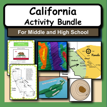
The State of California: History, Geography and National Parks Activity Bundle!
California became a state in 1850 and it has been a central location for exploration, the Gold Rush, conservation and agriculture. It also has 9 beautiful National Parks, all of which have interesting features and concepts that we can learn about including geology, rock features, volcanoes, island archipelagos, desert topography, etc. This bundle has an activity for each of the nine national parks in California, plus a research project about the state of California. Each national park activity i
Subjects:
Grades:
6th - 12th
Types:
CCSS:
NGSS:
HS-ESS2-3
, MS-ESS3-2
, MS-ESS2-2
, HS-ESS2-2
Earth's Topography No Prep Lesson with Power Point, Worksheet and Vocabulary
This lesson goes over the different types of topography that are found around the globe. It includes explaining the different types of land forms such as mountains, plains, and plateaus. The worksheet follows along with the power point presentation to keep students engaged. This lesson is designed for late elementary through intermediate grades.
Key Terms Include:
- topography
- elevation
- relief
- land forms
- plains
- coastal plains
- interior plains
- mountains
- plateaus
- land form regio
Subjects:
Grades:
4th - 8th
Types:
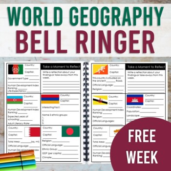
World Geography Bell Ringer: FREE WEEK (Print & Digital)
This resource contains a one week sample (with answer key!) of the World Geography Bell Ringer. Your students will use the internet to research and fill in facts about a new country each day of the week. This resource is designed to be used as a daily warm-up or for early finishers. However, this could also be used as a station activity and completed in one sitting. This sample also includes a research tip sheet with website links for your students to access facts and data. Your students will us
Grades:
7th - 10th
Types:
CCSS:
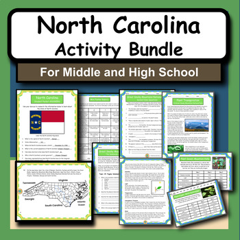
North Carolina: History, Geography and National Parks Activity Bundle!
North Carolina became a state in 1789 and it has been a central location for independence and flight as the Wright Brothers manned the first airplane flight here. It also shares the beautiful Great Smoky Mountains National Park with Tennessee, which is the most visited national park in the US. This bundle includes two activities about the Smokies, plus a research project about the state of North Carolina. Check out the activity summaries below and you can also see the product previews by clickin
Subjects:
Grades:
6th - 12th
Types:
CCSS:
NGSS:
HS-ESS2-3
, MS-ESS3-2
, MS-ESS2-2
, HS-ESS2-2

Climate Zones, Biomes, and Physical Features of the World
Use this bundle as a guide for teaching climate zones, biomes, and physical features of our world. Perfect for any secondary level geography, earth science, or physical science course.
Subjects:
Grades:
5th - 8th
CCSS:
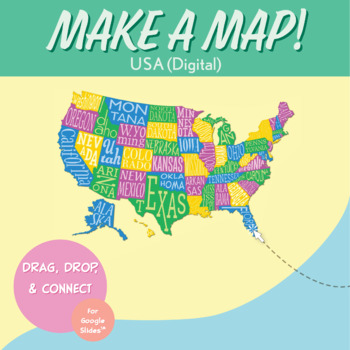
United States Digital Map-Making Activity | Distance Learning for Google Slides™
In this interactive United States geography activity, students drag and drop the states in the U.S. to form the entire U.S. map.Each of the states is a puzzle piece. Students put together the USA map on the blank map of USA provided, with the state borders drawn in as guidance.This is an excellent geography project for kids to learn American geography. It's a simple introduction to the United States map and would work well with any states and capitals lessons, 50 states lessons, 50 state capital
Grades:
5th - 8th
Types:
CCSS:
Also included in: USA Geography MEGA Bundle
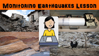
Monitoring Earthquakes No Prep Lesson with Power Point, Worksheet, and Activity
This lesson goes over the different types of equipment used to measure the strength of earthquakes. Some equipment we use today has origins that can be traced back 2000 years ago to ancient China. The activity gives students a chance to interpret seismograms to compare earthquakes. The worksheet follows along with the power point presentation to keep students engaged. This lesson is designed for late elementary through intermediate grades.
Key Terms Include:
- seismograph
- seismogram
- tiltme
Subjects:
Grades:
4th - 8th
Types:

Passport SS Grade 7 (ALL 5 UNITS) (5) Unit Plans & (83) Lesson Plans
GRADE 7 ALL 5 UNITS COMPLETE: INCLUDES ALL 5 UNIT PLANS AND 83 LESSON PLANS UNIT 1: Native American Colonial Development 15 Lesson Plans & Unit PlanUnit 2: The Road to Independence 21 Lesson Plans & Unit PlanUnit 3: U.S. Constitution 17 Lesson Plans & Unit PlanUnit 4: A Nation Grows 16 Lesson Plans & Unit PlanUnit 5: A Nation Divided 14 Lesson Plans & Unit Plan
Grades:
7th
Types:
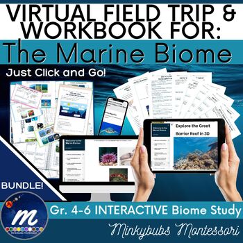
Marine Biome Virtual Field Trip Workbook Fast Facts Unit Study Click, Print, Go!
Let's take a virtual field trip and explore a well-designed and carefully-curated workbook to learn about the Marine Biomes! You do NOT NEED YOUTUBE or GOOGLE EARTH or COMPUTER SPACE! All you need is an internet connection. This virtual field trip is a unique, engaging and fun way to explore various aspects of the Marine Biomes. This resource includes high-quality video, images, audio, diagrams, exercises, research activities, and even has self-correcting assessment activities so that your stude
Subjects:
Grades:
4th - 6th
NGSS:
4-ESS2-2
, 4-ESS2-1
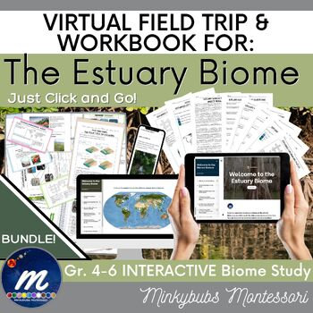
Estuary Biome Virtual Field Trip Workbook Fast Facts Unit Study Click, Print, Go
Let's take a virtual field trip and explore a well-designed and carefully-curated workbook to learn about the Estuary Biomes! You do NOT NEED YOUTUBE or GOOGLE EARTH or COMPUTER SPACE! All you need is an internet connection. This virtual field trip is a unique, engaging and fun way to explore various aspects of the Estuary Biomes. This resource includes high-quality video, images, audio, diagrams, exercises, research activities, and even has self-correcting assessment activities so that your stu
Subjects:
Grades:
4th - 6th
NGSS:
4-ESS2-2
, 4-ESS2-1

Earth Day - Google Earth Scavenger Hunt Activity
Earth Day - Google Earth Scavenger HuntEmbrace this year's Earth Day by helping your students appreciate our planet's natural beauty. In this assignment your students will use Google Earth to explore some of our World's most unique places and identify the country that it is found in. Each place will include a brief description of what it is like, and its coordinates. Your students will use this information and locate it using Google Earth. A sample question is below. This national park is know
Subjects:
Grades:
5th - 9th
Types:
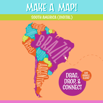
South America Map Digital Map-Making Activity | Google Slides™
In this interactive South America map and geography activity, students drag and drop the South American countries to form the entire continent.Each of the countries is a puzzle piece. Students put together the map on the blank South American continent map provided, with the country borders drawn in as guidance.This is an excellent geography project for kids to learn the South American continent. It's a simple introduction to South America and would work well with any continent study, Spanish les
Subjects:
Grades:
5th - 8th
Also included in: Digital Geography Mega Bundle
Earth/Space Lesson I PowerPoint "What is Climate?"
This lesson aligns with the Common Core State Standards (CCSS):"STANDARD 7 - The EarthThe teacher understands the dynamic nature of the Earth and recognizes that its features and structures result from natural processes.Knowledge Indicators - The competent science teacher:7A. understands the structure and composition of the Earth's land, water and atmospheric systems.7B. understands the transfer of energy within and among Earth's land, water and atmospheric systems."First lesson in the Earth/Spa
Subjects:
Grades:
6th - 10th
CCSS:
NGSS:
MS-ESS2-4
, MS-ESS2-6
, MS-ESS2-5
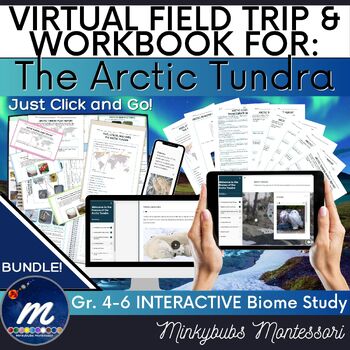
Arctic Tundra Virtual Field Trip and Workbook Unit Study - Click, Print and Go!
Let's take a virtual field trip and explore a well-designed and carefull-curated workbook to learn about the Arctic Tundra! You do NOT NEED YOUTUBE or GOOGLE EARTH or COMPUTER SPACE! All you need is an internet connection. This virtual field trip is a unique, engaging and fun way to explore various aspects of the Arctic Tundra. This resource includes high-quality video, images, audio, diagrams, exercises, research activities, and even has self-correcting assessment activities so that your studen
Subjects:
Grades:
4th - 6th
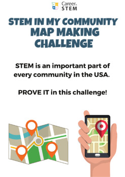
STEM in my Community Map Making Challenge Canva Template (distance learning)
STEM is an important part of every community in the USA. PROVE IT in this STEM in My Community Map Making Challenge! Provided as an editable Canva template, this project will scaffold students through STEM exploration and help them make connections to 'STEM spots' right in the local community! Purchase includes:PDF directions sheet for uploading in your virtual classroom. Includes directions for students and direct links to editable Canva STEM in My Community Map Making Challenge template (stude
Grades:
6th - 12th
CCSS:
Also included in: STEM Challenge Bundle: 28 STEM career exploration mini courses

Landforms geography and geology game for multi-players
Let your students practice their landform knowledge in a way they will LOVE! The Best Ever Landforms Game uses a simple yet exciting strategy that lets students build their own “land” and amass new landforms. Using lingo from modern video games that the students will understand, they will be begging to play this game again and again! Even my most reluctant learners ask me, “When can we play that game again?”Each game piece has a hand-drawn image of the landform it depicts. Students must give the
Subjects:
Grades:
4th - 7th
Types:
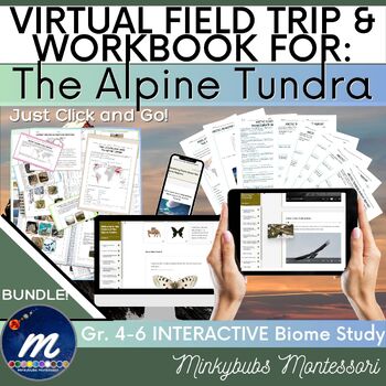
Alpine Tundra Virtual Field Trip Workbook Fast Facts Unit Study Click, Print, Go
Let's take a virtual field trip and explore a well-designed and carefully-curated workbook to learn about the Alpine Tundra! You do NOT NEED YOUTUBE or GOOGLE EARTH or COMPUTER SPACE! All you need is an internet connection. This virtual field trip is a unique, engaging and fun way to explore various aspects of the Alpine Tundra. This resource includes high-quality video, images, audio, diagrams, exercises, research activities, and even has self-correcting assessment activities so that your stude
Subjects:
Grades:
4th - 6th
NGSS:
4-ESS2-2
, 4-ESS2-1
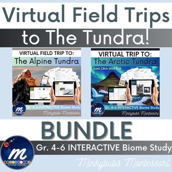
Virtual Field Trip Arctic Alpine Tundra Fast Facts BUNDLE Click and Go!
Choose from two virtual field trips and explore the Arctic and Alpine Tundra! You do NOT NEED YOUTUBE or GOOGLE EARTH or COMPUTER SPACE! All you need is an internet connection. Each virtual field trip is a unique, engaging and fun way to explore various aspects of the Alpine Arctic Tundra. Each resource includes high-quality video, images, audio, diagrams, exercises, research activities, and even has self-correcting assessment activities so that your students can check their understanding while
Subjects:
Grades:
4th - 6th
NGSS:
4-ESS2-2
, 4-ESS2-1
Showing 1-24 of 34 results


