5,085 results
5th grade geography assessments
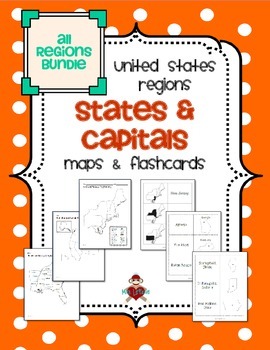
All US Regions States & Capitals Maps
Save $3 if you buy all the regions at once in this packet! Note that this product includes both MAPS and FLASHCARDS for the states & capitals of the five regions of the US.
This product contains 3 maps of each of the five regions of the United States (15 maps in all). Check out the FREE Northeast region set of maps.
• Study guide map labeled with the states and capitals (which can also be used as an answer key)
• Blank map with a word bank of the states and capitals
• Blank map without wor
Subjects:
Grades:
3rd - 5th
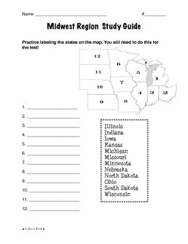
Regions of the United States: Midwest, Study Guide (5 Regions)
This is a 2-page study guide. It includes one page to help your students learn to label the Midwest states on a map. Also includes a page to help learn the state capitals and the state abbreviations.This is an activity that goes along with my resource, Regions of the United States: Midwest, Complete Unit (5 Regions)"The Midwest Region" is a 6-page packet that can be used as a "textbook chapter" when teaching about the five regions of the United States. In the Regions of the United States: Midw
Subjects:
Grades:
3rd - 6th
Types:
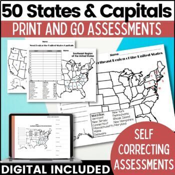
50 States and Capitals Map Activities Print & Digital Resource
Help your students learn and remember the 50 United States and Capitals. This product breaks the 50 states into five regions to make learning easier to manage and teach. United States maps are included with printable assessments, self correcting digital assessment and digital practice worksheets.Update! Easel Digital Version is Included (updated 7/2022)Self Correcting Assessments and Easy to Assign!Save $$$ when you buy as a bundle:The United States and Capitals Geography Review Activities and A
Grades:
3rd - 5th
Types:
Also included in: 50 States and Capitals Bundle Map Print & Digital Resource 50% OFF
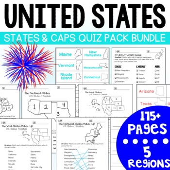
U.S. States and Capitals BIG Bundle-Quiz Packs AND Flash Cards
U.S. States and Capitals Quiz Pack- MEGA BUNDLE!Use this States and Capitals Mega Bundle Quiz Pack to test your students knowledge of the U.S. States and Capitals region by region! What's included in this BIG bundle of 11 resources?Northeast Region:Quiz Pack- 14 pages (7 testing options)Flash Card Printables - 18 Pages (4 options)Southeast Region:Quiz Pack- 14 pages (7 testing options)Flash Card Printables -18 pages (4 options) Midwest Region:Quiz Pack- 14 pages (7 testing options)Flash Card Pri
Subjects:
Grades:
3rd - 7th
Types:
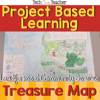
Map Skills Project Based Learning Pirate Treasure Map w/ Landforms & Communities
Need to assess your students' map skills in a fun engaging way? This project-based learning activity assesses elementary student map skills by having them bury their pirate treasure! Students become actively engaged in designing their own island and mapping the route to X Marks the Spot! A great resource for teaching and assessing basic map skills in your social studies classroom! This pirate project includes landforms and community services to make a comprehensive map assessment.This map skill
Grades:
2nd - 5th
Types:
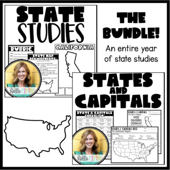
State and Capital Studies for the Entire Year
This bundle contains everything you need to guide your students through an entire year of learning about states and capitals.All resources are print and go so that you can get started efficiently and smoothly!
Grades:
4th - 7th
Types:
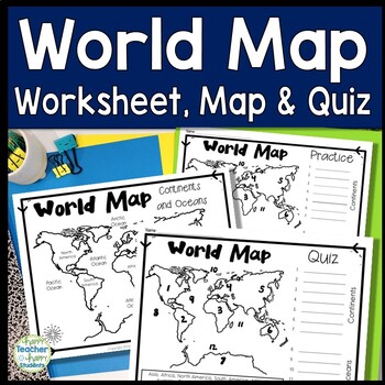
World Map: World Map Quiz (Test) and Map Worksheet | 7 Continents and 5 Oceans
Map of the World Test: Easy-to-read World Map Quiz requires students to locate 7 Continents and 5 Oceans. This resource also includes a world map printable for kids to practice learning the map of the world. Students must label continents and oceans: 7 Continents (Asia, Africa, North America, South America, Antarctica, Australia & Europe) and 5 Oceans (Atlantic, Pacific, Indian, Arctic & Southern). This is an ideal continents and oceans activities for 1st grade, 2nd grade, 3rd grade, 4th
Grades:
2nd - 6th
Types:
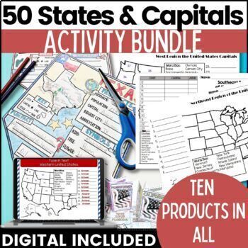
50 States and Capitals Bundle Map Print & Digital Resource 50% OFF
Everything you need (and more) to teach the 50 States and Capitals Help your upper elementary & middle school students learn the 5 regions of the United States with printable assessments and activities, digital Boom Cards, digital self correcting Easel assessments and Google map activities. This product will help you teach, review, and assess your students. You save 40% When you purchase all 10 products as a bundle!Bundle Includes:50 States and Capitals Test Printouts (includes Easel self co
Grades:
4th - 6th
Types:
Five Themes of Geography Nonfiction Reading Texts BUNDLE - SOCIAL STUDIES
There are five differentiated nonfiction reading passages based on each of the Five Themes of Geography included in this social studies resource bundle:
US Regions
Place
Location
Movement
Human-Environment Interaction
The text discusses an overview of each of the five themes of geography with relevant examples. It is differentiated for your high, mid, and lower level students. 4 types of rigorous questions are included, along with an answer key. Integrate geography content with your reading t
Subjects:
Grades:
3rd - 7th
Types:
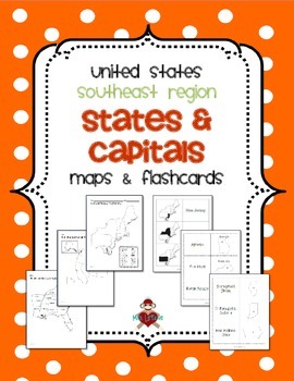
US Southeast Region States & Capitals Maps
This product contains 3 maps of the Southeast Region of the United States.
Check out the FREE Northeast region set of maps.
Save $3 if you buy all 5 regions at once in this packet!
• Study guide map labeled with the states and capitals (which can also be used as an answer key)
• Blank map with a word bank of the states and capitals
• Blank map without word bank
Also included are 3 different versions of flashcards to study states and/or capitals. Each set of flashcards could also be used as a
Subjects:
Grades:
3rd - 5th
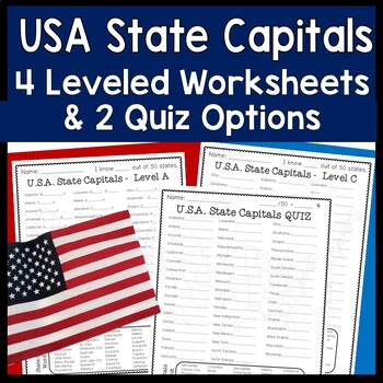
State Capitals | 4 Worksheets & 2 Quiz (Tests) USA States and Capitals Practice
United States Capitals Worksheets and Quiz: 4 Leveled & Differentiated State Capitals Worksheets and 2 US State Capitals Quiz Options with Answer Key. Students can complete each worksheet in order or assign different sheets for different students based on ability. What a great way to easily differentiate! Two quiz options are available to best suit students’ needs.USA State Capitals Leveled Worksheets & Quizzes:Level A: First and last letter of capital city is given to guide students Wor
Grades:
3rd - 8th
Types:
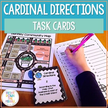
Map Skills and Cardinal Directions Task Cards
Cardinal Directions Task Cards are used to reinforce the skills students need to know for reading maps, using cardinal directions, and learning geography skills. This task card set uses the cardinal directions north, south, east, and west. Students will use the map ‘Bentley Community Map’ to answer the 20 task cards. There is a recording sheet and an answer key provided. Task Cards are great to use in the classroom for:• Independent Practice• Scoot• Test Prep• Collaborative Pairs• Whole-Group As
Grades:
3rd - 6th
Types:
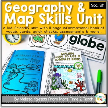
Geography Map Skills Unit: Info Text, Int. Notebook, Assess, Quick Checks + More
Help your students develop proficiency in GEOGRAPHY AND MAP SKILLS.With this unit, they will learn to read a compass rose, key/ legends with symbols, and scales on a map. They will also be able to label the 7 continents and 5 oceans on a map, learn the difference between maps and globes and understand the effect of distortion. By the end of this unit, they will also be able to name and identify the purpose of different maps (physical, political, elevation, and population) just to name a few of t
Grades:
3rd - 5th
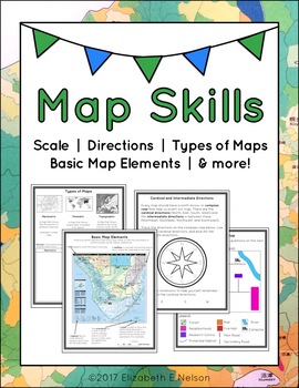
Map Skills Package
This package contains a variety of handouts, worksheets, a lesson idea, and an activity to help teach students map skills such as scale, cardinal and intermediate directions, types of maps (planimetric, thematic, topographic), and basic map elements (legend, title etc.)
Contents
Welcome
Teaching Guide (3 pages)
Latitude, Longitude, and Directions: The Orange Lesson
Latitude Labeling Worksheet Option 1 (label)
Latitude Labeling Worksheet Option 2 (trace)
Cardinal and Intermediate Directions Han
Grades:
3rd - 6th
Types:
Also included in: Map Skills Bundle: activities, worksheets, crafts, posters + more
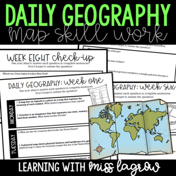
Daily Geography or Social Studies Map Skills FULL YEAR Bundle
Ever felt the need for a spiral geography to help your students learn map skills and become aware of the world and country around them? Me too. That's why I developed Daily Geography.Questions deal with United States specifics and basics of other continents and their locations. Topics include borders, directions, bodies of water, latitude and longitude, and more.The system is set up for students to answer two questions per day. On Friday, they take a short "check-up" half sheet of four quest
Grades:
3rd - 5th
Types:
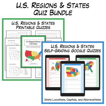
States and Capitals Quizzes Bundle | Digital & Printable
This U.S. Regions and States Quiz Bundle includes 36 self-grading Google quizzes and 21 printable PDF quizzes with answer keys. Quizzes are provided for each region (Southeast, Northeast, Midwest, Southwest, and West) along with comprehensive tests for all 50 states.For samples of the products included in this bundle, check out the FREE Midwest Region Sample Pack. The printable PDFs include numbered regional maps with the following assessment types:State names given – fill in the state numberSta
Grades:
3rd - 6th
Types:
Map Skills: Latitude and Longitude
Geography is such an abstract and difficult concept for students, but it is important that they begin to orient themselves as they read, learn and discover more about the world around them. This set has helped my classes make the abstract more concrete.
-Vocabulary Foldable (pages 3-4)
-Vocabulary Cards and picture cards (pages 5-8)
-CLOSE Read about Longitude and Latitude
-An adapted Craftivity (pages 9-12)
-Written Reflection (differentiated) (pages 13-14)
-Performance Task/ Group Challenge
Grades:
3rd - 7th
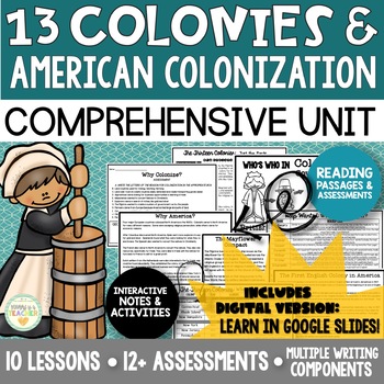
American Colonization + the Thirteen Colonies | DIGITAL + PRINT
{UPDATED 7/2020 - DIGITAL VERSION NOW INCLUDED!} This comprehensive unit is everything you need to teach and assess your students on the 13 colonies and the colonization of America! And it now includes a DIGITAL VERSION of the resource!*All notes, activities, and assessments available digitally!*Over 100 pages! Approximately 4 weeks worth of comprehensive curriculum!*TEN lessons included! BREAKS DOWN TO ONLY $1.50 PER LESSON/ACTIVITY!*12+ assessments to ensure that your students are understa
Grades:
4th - 8th
Types:
Also included in: Early America - United States History Bundle | Digital + Printable
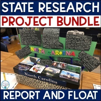
State Report and Float- Research Project Bundle
Are you looking for an alternative assessment for your social studies students? This project will keep your students engaged in their learning, while allowing them to use their creative side. This project has two parts—a report and a float. The report allows them to learn the facts, but also to be creative. The report includes:Basic InformationState HistoryState GeographyState Symbols Famous People Visitor’s CenterWeatherNational Park Service Sites Fun FactsIndustry & AgricultureThe float a
Grades:
3rd - 5th
Types:
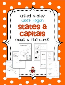
US West Region States & Capitals Maps
This product contains 3 maps of the West Region of the United States.
Check out the FREE Northeast region set of maps.
Save $3 if you buy all 5 regions at once in this packet!
• Study guide map labeled with the states and capitals (which can also be used as an answer key)
• Blank map with a word bank of the states and capitals
• Blank map without word bank
Also included are 3 different versions of flashcards to study states and/or capitals. Each set of flashcards could also be used as a matc
Subjects:
Grades:
3rd - 5th
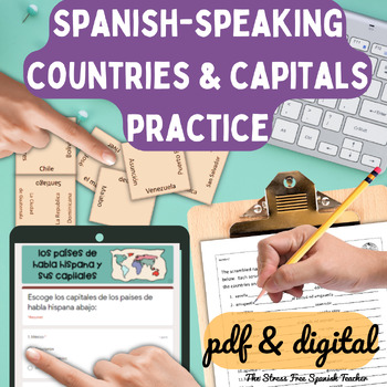
Spanish Speaking Countries Practice Activities Puzzles pdf and digital Worksheet
Help your Spanish students review the Spanish Speaking Countries and Capitals with 11 pdf practice activities, 11 digital practice activities, PLUS 13 quizzes / assessments / activities to choose from (including Google Forms™ quizzes!)No Prep! ⭐️ 1:1 classroom friendly, digital learning friendly. Google Forms™ self grading assessments included.OR⭐️Just print and go!Perfect for Spanish back to school, and to help your Spanish students practice the Spanish-speaking countries all year!✅ What's inc
Subjects:
Grades:
4th - 12th
Types:
Also included in: Build Your Own Bundle of Spanish Resources | Special order for Sydney
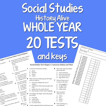
Social Studies WHOLE YEAR 20 Tests BUNDLE by Science Doodles
Whole Year BUNDLE SET with 20 TEST and keys by science doodles!All content is aligned to the History Alive Social Studies book.One test for each chapter.Save yourself tons of time and use this to check for understanding and get feedback if your students are learning the content. All tests questions match the content in the chapter foldables which I offer separately.I teach Science and Social Studies and spent all summer getting this HUGE package together. It will save me so much time by having e
Grades:
4th - 7th
Types:
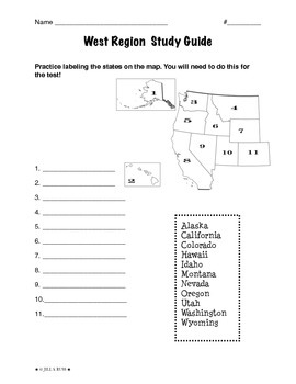
Regions of the United States: West, Study Guide (5 Regions)
This is a 2-page study guide. It includes one page to help your students learn to label the West states on a map. Also includes a page to help learn the state capitals and the state abbreviations.This is an activity that goes along with my resource, Regions of the United States: West, Complete Unit (5 Regions)"The West Region" is a 6-page packet that can be used as a "textbook chapter" when teaching about the five regions of the United States. In the Regions of the United States: West, Complet
Subjects:
Grades:
3rd - 6th
Types:
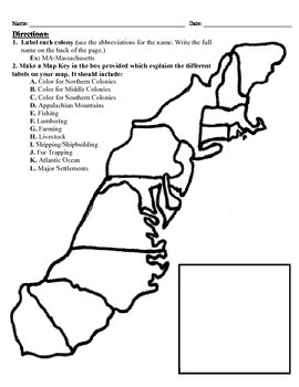
13 Colonies Map Project (8.5x11)
This project has three different differentiated levels for different levels of students, or to have them work up to... This project is set-up to print on 8.5x11 sheets of paper. In the first tier (the easiest), the students are given a map of the thirteen colonies and have to label each colony and then color the Northern/North Eastern Colonies, the Middle Colonies and the Southern Colonies different colors in a map key they create. In the second tier (medium difficulty), the students have to la
Subjects:
Grades:
3rd - 12th
Types:
Showing 1-24 of 5,085 results

