2,133 results
5th grade geography independent work packets
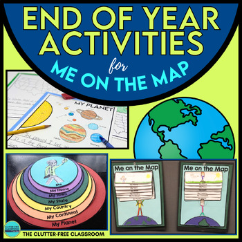
End of the Year Craft Activity Last Week of School Me on the Map Skills Review
Looking for an End of Year Craft Activity to Review Map Skills? Want a Last Week of School Writing Project? This Me on the Map flip book and summer writing pages are perfect for 1st, 2nd, 3rd or 4th grade students!This Maps and Globes activities pack has 8600+ POSITIVE REVIEWS and is the original & most highly-rated Me on the Map Project Activity Bundle on TpT. Teach map skills with crafts, printable worksheets, flip books & a nesting circle craftivity for the book by Joan Sweeney.It wil
Subjects:
Grades:
1st - 5th
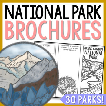
NATIONAL PARK Research Projects | USA American Landmarks Report Activities
This bundle of 30 national park brochure projects is a fantastic way for your students to explore a huge variety of landscapes across North America. Each no-prep activity can be completed in a few different ways. You can provide your students with the information to fill out their brochures, or have them find the information through Internet research. If your students are inexperienced with Internet research, guide them through the process by projecting a search that you lead. NPS.gov and Britta
Grades:
3rd - 8th
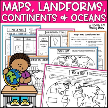
Maps & Globes Continents Oceans Map Skills Worksheet World Map Activity Landform
Interactive Notebooks are a wonderful tool for providing hands-on experiences for learners. This Maps, Continents, and Landforms Interactive Notebook is no exception! The packet is easy to use for both student and teacher. ✅ Click HERE to SAVE 20% on this resource with the Maps, Continents, and Landforms unit and poster bundle!✅ Click HERE to SAVE even more by buying ALL 15 Social Studies Interactive Notebooks and Mini Units in one Year-Long Bundle.Click on the PREVIEW button above to see all t
Grades:
3rd - 5th
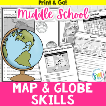
Map and Globe Skills Worksheets (6th, 7th, 8th Grades)
Your students will love reviewing map and globe skills with this engaging, no prep worksheet packet! It's great to use during the back-to-school weeks. Plus, it’s so easy to use that you can even leave it for sub plans or homework packets!Resource Includes: 12 worksheets & answer keysCardinal and intermediate directionslatitude and longitudegrid maps: reading & creatingphysical maps: reading & drawing conclusionsgraphic scales: to determine distancesmap keys: to acquire informationAn
Subjects:
Grades:
5th - 8th
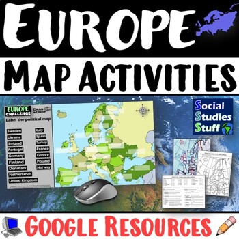
Geography of Europe Map Practice Activities | Print and Digital | Google
End the cycle of bored students copying from books to label maps! Your classes think critically with these digital, interactive, geography activities. First, students answer questions about Europe by analyzing various physical & political maps of the region. Then, a drag & drop challenge assesses their learning of the locations. This resource also includes a printable worksheet that takes labeling maps to the next level! They create a map using only absolute & relative location clues
Subjects:
Grades:
5th - 12th
CCSS:
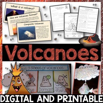
Volcanoes Complete Pack - Printables, Editable PowerPoint, Interactive Notebooks
This Volcano Unit is exploding with a variety of printables, Diagrams, Interactive notebooks, and a 100% editable PowerPoint.*Also includes digital access via Google Slides.What’s included in the pack: (Answer keys are included.) • PowerPoint Review Sheet• Volcanoes Reading Comprehension• Label the parts of a volcano • Volcano Labeled Diagram • 3 Stages of a Volcano Poster (8.5” x 11”) – Active, Dormant, and Extinct• Cinder Cone, Composite, and Shield Volcanoes Posters (1 of each)• Types of Volc
Subjects:
Grades:
3rd - 6th
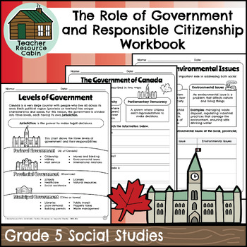
Role of Government and Responsible Citizenship Workbook (Grade 5 Social Studies)
This workbook covers the Grade 5 The Role of Government and Responsible Citizenship unit in the Ontario Social Studies 2018 curriculum (People and Environments).In this workbook, students will learn about various aspects of government and responsible citizenship. They will explore topics such as the role of government, different levels of government, municipal and provincial governments, the federal government, elections, taxes, Canadian citizenship, rights and responsibilities, the Charter of R
Subjects:
Grades:
5th
Also included in: Grade 5 Ontario Social Studies Workbook Bundle
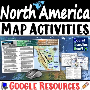
Geography of North America Map Practice Activities | USA Canada Mexico | Google
End the cycle of bored students copying from books to label maps! Your classes think critically with these digital, interactive, geography activities. First, students answer questions about North America by analyzing various physical & political maps of the region. Then, a drag & drop challenge assesses their learning of the locations. This resource also includes a printable worksheet that takes labeling maps to the next level! They create a map of the United States, Canada, and Mexico u
Subjects:
Grades:
5th - 12th
CCSS:
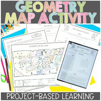
Map Skills | Project Based Learning | Geometry | Printable & Digital | Google
Have your students demonstrate their understanding of many different math concepts while designing a map of their own town! This hands-on math activity is a project that will definitely engage your students.Check out the preview for more details!Objective: To demonstrate an understanding of geometric terms and measurement. Students will be designing and drawing a map that will incorporate many mathematical concepts.The following concepts will be covered through this project-based learning activi
Subjects:
Grades:
2nd - 5th
Also included in: Project Based Math Activities BUNDLE
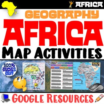
Geography of Africa Map Practice Activities | Print and Digital | Google
End the cycle of bored students copying from books to label maps! Your classes think critically with these digital, interactive, geography activities. First, students answer questions about Africa by analyzing various physical & political maps of the region. Then, a drag & drop challenge assesses their learning of the locations. This resource also includes a printable worksheet that takes labeling maps to the next level! They create a map using only absolute & relative location clues
Subjects:
Grades:
5th - 12th
CCSS:
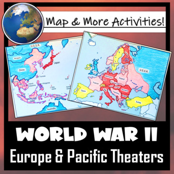
World War II: Map Coloring & Labeling Activities- Europe & Pacific Theaters!
This World War II Map Activity includes two map activities that include blank maps, student direction sheets, follow-up map tasks, and completed sample maps to use as reference. One map activity focuses on Axis Expansion in EUROPE and one on Axis Expansion in ASIA (The Pacific). They can be used with many different age groups, learning styles, and independently- great addition to your WWII unit!**Note: These maps focus on the peak of Axis power/control during WWII. Please see the completed ma
Grades:
5th - 10th
Also included in: US History / American History BIG BUNDLE of Resources! NO-PREP!
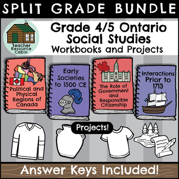
Grade 4/5 Social Studies Workbooks (Ontario Curriculum)
This BUNDLE contains FOUR independent Social Studies workbooks for Grade 4/5 students and FOUR Social Studies projects/activities.Each workbook meets the Ontario Curriculum expectations for an ENTIRE Social Studies unit. All Grade 4/5 Social Studies units are included.Grade 4: Political and Physical Regions of Canada, Early Societies to 1500 CEGrade 5: The Role of Government and Responsible Citizenship, and Interactions of Indigenous Peoples and Europeans prior to 1713, in what would eventually
Grades:
4th - 5th
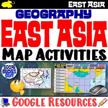
Geography of East Asia Map Practice Activities | Print and Digital | Google
End the cycle of bored students copying from books to label maps! Your classes think critically with these digital, interactive, geography activities. First, students answer questions about East Asia by analyzing various physical & political maps of the region. Then, a drag & drop challenge assesses their learning of the locations. This resource also includes a printable worksheet that takes labeling maps to the next level! They create a map using only absolute & relative location cl
Subjects:
Grades:
5th - 12th
CCSS:
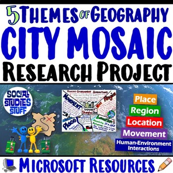
Five Themes of Geography Research Project PBL | 5 Themes City Mosaic | Microsoft
Challenge your class to research & showcase the “5 Themes of Geography” for a major world city. Creating mosaics is a fun way to assess student learning while letting them show off their creativity. First, they research their city’s location, place, region, movement, and human-environment interactions. Then, they design colorful mosaics with images & descriptions featuring their cities. A rubric sets clear expectations for your students & makes grading easy! Your purchase has editabl
Subjects:
Grades:
5th - 12th
CCSS:
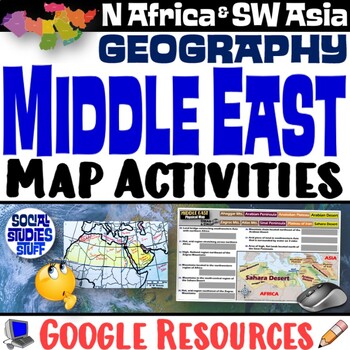
Middle East Map Practice Activities | SW Asia & North Africa Geography | Google
End the cycle of bored students copying from books to label maps! Your classes think critically with these digital, interactive, geography activities. First, students answer questions about the Middle East by analyzing various physical & political maps of the region. Then, a drag & drop challenge assesses their learning of the locations. This resource also includes a printable worksheet that takes labeling maps to the next level! They create a map of Southwest Asia & North Africa usi
Subjects:
Grades:
5th - 12th
CCSS:
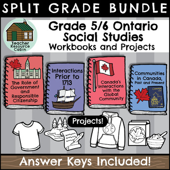
Grade 5/6 Social Studies Workbooks (Ontario Curriculum)
This BUNDLE contains FOUR independent Social Studies workbooks for Grade 5/6 students and FOUR Social Studies projects/activities.Each workbook meets the Ontario Curriculum expectations for an ENTIRE Social Studies unit. The Grade 6 projects and workbooks are updated for the new 2023 Ontario Social Studies curriculum. All Grade 5/6 Social Studies units are included.Grade 5: "The Role of Government and Responsible Citizenship" and "Interactions of Indigenous Peoples and Europeans prior to 1713, i
Grades:
5th - 6th
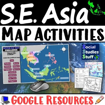
Geography of Southeast Asia Map Practice Activities | SE Asia Region | Google
End the cycle of bored students copying from books to label maps! Your classes think critically with these digital, interactive, geography activities. First, students answer questions about Southeast Asia by analyzing various physical & political maps of the region. Then, a drag & drop challenge assesses their learning of the locations. This resource also includes a printable worksheet that takes labeling maps to the next level! They create a map using only absolute & relative locati
Subjects:
Grades:
5th - 12th
CCSS:
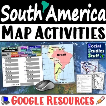
Geography of South America Map Practice Activities | Print and Digital | Google
End the cycle of bored students copying from books to label maps! Your classes think critically with these digital, interactive, geography activities. First, students answer questions about South America by analyzing various physical & political maps of the region. Then, a drag & drop challenge assesses their learning of the locations. This resource also includes a printable worksheet that takes labeling maps to the next level! They create a map using only absolute & relative locatio
Subjects:
Grades:
5th - 12th
CCSS:
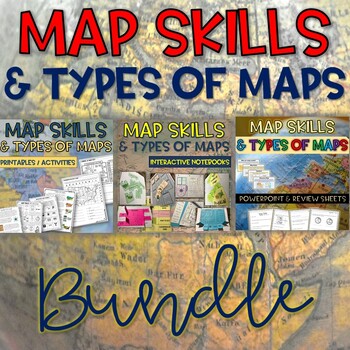
Map Skills & Types of Maps BUNDLE- Printables, PowerPoint - Distance Learning
Map Skills and Types of Maps Bundle: Everything you need to teach the unit! This bundle includes interactive notebooks, printables and activities, and a 100% editable PowerPoint with review questions. Your students will have fun learning all about the map elements (title, compass rose, legend, map scale, coordinate grid), the different types of maps (climate, political, physical, road, resource) and more vocabulary such as symbols, cardinal and intermediate directions, latitude, longitude, equat
Subjects:
Grades:
3rd - 5th
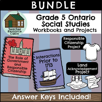
Grade 5 Ontario Social Studies Workbook Bundle
This BUNDLE contains TWO independent Social Studies workbooks and TWO related projects for Grade 5 students. Each workbook meets the Ontario Curriculum expectations for an ENTIRE Grade 5 Social Studies unit. Both Grade 5 Social Studies units are included: The Role of Government and Responsible Citizenship and Interactions of Indigenous Peoples and Europeans prior to 1713, in what would eventually become Canada Together, the workbooks total up to 121 pages of student worksheets! Each project has
Grades:
5th
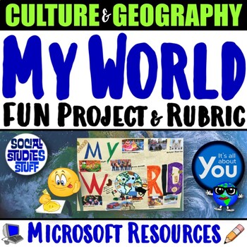
My World Culture and Geography Project | FUN Cultural PBL Activity | Microsoft
Students showcase their own unique cultures and geography with this fun “My World” project. First, a brainstorm activity challenges them to consider how cultural influences and geographical factors have shaped their lives. Then, they design creative and informative posters all about their WORLDS! Guided slides help you explain the project and a fill-in rubric makes grading easy. This project-based learning activity promotes cross-cultural understanding and students love decorating their globes w
Grades:
4th - 10th
CCSS:
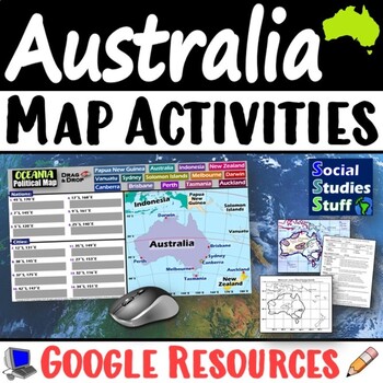
Geography of Oceania Map Practice Activities | Australia Region | Google
End the cycle of bored students copying from books to label maps! Your classes think critically with these digital, interactive, geography activities. First, students answer questions about Australia & Oceania by analyzing various physical & political maps of the region. Then, a drag & drop challenge assesses their learning of the locations. This resource also includes a printable worksheet that takes labeling maps to the next level! They create a map using only absolute & relati
Subjects:
Grades:
5th - 12th
CCSS:
United States Scavenger Hunt Internet Task Cards with Maps
United States Scavenger Hunt Handout and Internet Task Cards. Includes a fun fill-in-the-blank geography hunt of the United States, five U. S. maps, and 30 task cards for exploring the internet. On the scavenger hunt sheet, students will need to use a US map (included) and will have to use their map skills to answer the questions. There are 30 blanks worth 3 points each, and one bonus question. Answer Key included. Also includes 30 internet task cards and a recording sheet. Digital Resource an
Subjects:
Grades:
4th - 6th
World Map Practice Activities BUNDLE | 11 Continents and Regions | Google
End the cycle of bored students copying from books to label maps! Your classes will think critically with these engaging practice activities. First, they answer geography questions by analyzing various physical & political maps covering 11 different world regions. Then, a drag & drop challenge assesses their learning of the locations. Each world region includes a printable worksheet that takes labeling maps to the next level! Students create a map using only absolute & relative locat
Subjects:
Grades:
5th - 12th
CCSS:
Showing 1-24 of 2,133 results


