2,048 results
2nd grade geography assessments
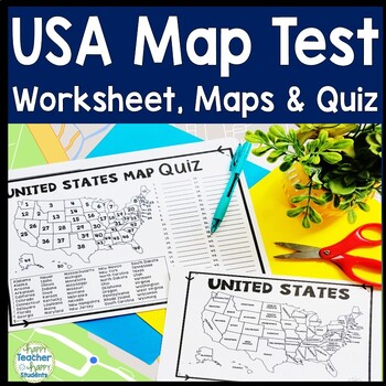
United States Map Quiz & Worksheet, USA Map Test w/ Practice Sheet, US Map Quiz
United States Map Test: Easy-to-read US Map Quiz and Practice Sheet will help students learn to correctly identify and locate all 50 states. This product also includes a labeled USA Map in full & half-page design and blank USA map for practice. Learning how to correctly identify all 50 states on a map of the United States is a critical skill for students of all ages.US Map Quiz (US Map Test) is ready to print-and-go to test knowledge of the USA Map and 50 states. This map of the United State
Grades:
2nd - 8th
Types:
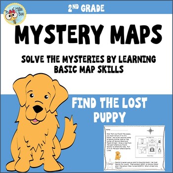
Map Skills 2nd grade, Print and Digital
This fun, engaging map packet is an introduction to map skills. It contains information about a compass rose, map keys, and city blocks. Students will use a compass rose to locate a lost puppy, use information about city blocks to locate a mystery field trip, and illustrate their own maps. Students respond, write their own map questions, and challenge each other. A student formative and answer key is included.
Subjects:
Grades:
2nd - 3rd
Types:
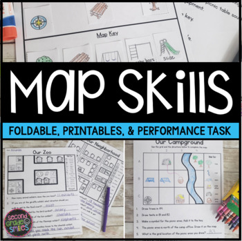
Map Skills Worksheets & Performance Task | Print & Easel
Practice using a map key, a compass rose, and a scale to read, interpret, and create basic maps! These printables are perfect for teaching geography or quick map skills assessments in first grade, second grade, or third grade! The following print-and-go map skills activities are included:Map Vocabulary Foldable: Students cut along the dotted lines to create three flaps and then fold along the solid line. Under each flap, students define the vocabulary word shown on the top of the flap. Words inc
Grades:
1st - 3rd
Types:
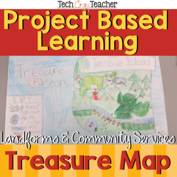
Map Skills Project Based Learning Pirate Treasure Map w/ Landforms & Communities
Need to assess your students' map skills in a fun engaging way? This project-based learning activity assesses elementary student map skills by having them bury their pirate treasure! Students become actively engaged in designing their own island and mapping the route to X Marks the Spot! A great resource for teaching and assessing basic map skills in your social studies classroom! This pirate project includes landforms and community services to make a comprehensive map assessment.This map skill
Grades:
2nd - 5th
Types:
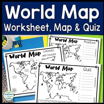
World Map: World Map Quiz (Test) and Map Worksheet | 7 Continents and 5 Oceans
Map of the World Test: Easy-to-read World Map Quiz requires students to locate 7 Continents and 5 Oceans. This resource also includes a world map printable for kids to practice learning the map of the world. Students must label continents and oceans: 7 Continents (Asia, Africa, North America, South America, Antarctica, Australia & Europe) and 5 Oceans (Atlantic, Pacific, Indian, Arctic & Southern). This is an ideal continents and oceans activities for 1st grade, 2nd grade, 3rd grade, 4th
Grades:
2nd - 6th
Types:
3rd Grade Social Studies Curriculum Michigan History Unit
The third unit in 3rd grade Michigan Social Studies is themed in geography. Unit correlates to concepts in the MC3 curriculum and meets Michigan Social Studies standards.Lessons are typically taught over a two day span. Standards covered included.GOOGLE DRIVE ACCESS LINKS ARE AVAILABLE IN THE PDF DOWNLOAD ON THE GOOGLE DRIVE ACCESS PAGEUnit has been updated to include links to copy files from Google Drive which can be used in distance learning, virtual learning, Google classroom, etc.Check out
Grades:
2nd - 4th
Types:
Also included in: 3rd Grade Social Studies Curriculum Michigan YEAR LONG Units
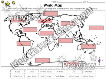
World Map: Continents and Oceans Cut and Paste Activity - King Virtue
World Map: Continents and Oceans Cut and Paste Activity - North America, Europe, Asia, South America, Africa, Australia, Antarctica, Arctic Ocean, Pacific Ocean, Atlantic Ocean, Indian Ocean, and Southern Ocean - King Virtue's ClassroomStudents will love applying what you've taught them about the World Map with this engaging cut and paste activity. This map skills activity will help them review the continents and oceans (North America, Europe, Asia, South America, Africa, Australia, Antarctica,
Subjects:
Grades:
2nd - 4th
Types:
Also included in: Social Studies MegaBundle - King Virtue's Classroom
Georgia Regions and Rivers Unit**Includes Virtual Field Trips for ALL Regions
A perfect unit to assist in teaching Georgia Regions and Rivers in 2nd grade! Complete with word wall words, interactive notebook pages, interactive mini book, quizzes, sheets, final assessments, PLUS an end of unit activity and interactive website to review the Georgia Regions!Also included in the ZIP file: Rivers Powerpoint and Top-Seller: Ga Regions Videos! * Clip art: www.englishunite.com* Frames: Winchester Lambourne* Borders: Creative Clips* Backgrounds: steach4fun* Fonts: Found on Google
Grades:
1st - 3rd
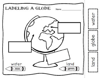
Maps and Globes Introduction
This is a printable where students identify the difference between maps a globes. They must label the land and water. There is a venn diagram to assess the basic similarities and differences of maps and globes.
Thanks and happy teaching!
Subjects:
Grades:
K - 2nd
Types:
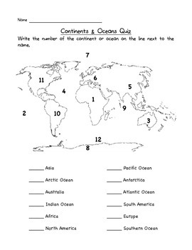
Continents & Oceans Quiz
This is a great way to check that your students know the locations of the seven continents and five oceans.
Test, Quiz, Exam, Check up, Assessment
North America
South America
Europe
Asia
Africa
Australia
Antarctica
Atlantic
Pacific
Indian
Arctic
Southern
Subjects:
Grades:
1st - 4th
Types:
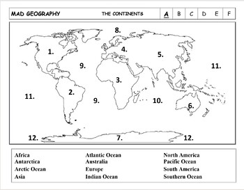
Mad Geography Continents and Oceans Blank Map Tests
I created Mad Geography many years ago for my 2nd grade class. I wanted my children to learn the Continents and Oceans of the world. Over the years I’ve added more and more tests including the United States, Canada, Africa, Europe, and South and Central America. I hope you find these tests helpful in your own classroom. These Mad Geography Tests are configured in sets. In each set, Test A allows students to learn where each Continent and Ocean is located. The names are fully provided and stu
Subjects:
Grades:
2nd - 6th
Types:
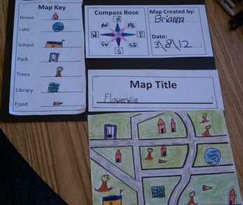
Map Skills for Kids
This six-page document contains blank copies of a town map, a compass rose, map title, and map key. Students will demonstrate their understanding of cardinal and intermediate directions when filling out the compass rose. Students can show their creativity when coming up with a map title and map key symbols. The map key includes symbol words and then the students can draw their own symbols. Then students place their symbols on the map. An example of a students finished map can be seen in the
Subjects:
Grades:
PreK - 6th
Types:
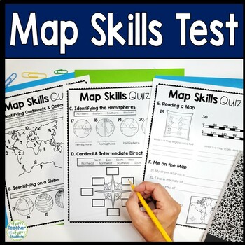
Map Skills Test | 3-Page Mapping Skills Quiz with Answer Key | Map Skills Quiz
Easy-to-read Map Skills Quiz will assess students' understanding of: Oceans & Continents, Latitude & Longitude, Hemispheres, Cardinal & Intermediate Directions, Me on the Map, Equator & Prime Meridian, Map Key & Map Scale. An answer key is included for easy grading. Happy teaching!You may choose to use this test as a Map Skills worksheet for students that need extra practice.This Map Skills test includes:• Oceans• Continents• Latitude & Longitude• Hemispheres• Cardinal &a
Subjects:
Grades:
2nd - 8th
Types:
Baseball Math and ELA Activities
Looking for baseball math, reading, and word study activities? Our Baseball Activities include resources addressing skills such as compound words, fact and opinion, word study, map skills, word problems, story elements, and more! (Includes 13 specific resources below.) Let us help you plan an entire day of learning that is centered around the sport of baseball!1) Baseball Acrostic: Students plan and write an acrostic poem about baseball. (planning page and primary and intermediate lined paper
Subjects:
Grades:
1st - 3rd
Types:
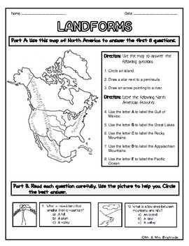
Landforms Test/Quiz
This is a 24 questions worksheet/assessment regarding the location, details, facts, and description of various landforms that include: valley mountain hill volcano canyon plain river lake island ocean peninsulaLookin for more LANDFORMS resources? Look here!Landform Posters and Task CardsI have . . . Who has . . . - Landforms, Continents, and OceansLandforms posters in Spanish******* For more activities and even freebies, please follow us on TPT :) ******** Please rate or comment on our product i
Subjects:
Grades:
2nd - 5th
Types:
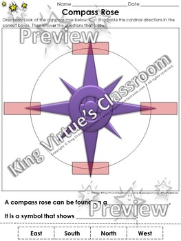
Compass Rose Cut and Paste Activity - Cardinal Directions - Map Skills
Compass Rose Cut and Paste Activity - Cardinal Directions - Map Skills - King Virtue's ClassroomStudents will love applying what you've taught them about maps with this engaging cut and paste activity. This activity will help them review the compass rose and cardinal directions (north, east, south, and west).This set includes:1 cut and paste activity1 answer keyEnjoy!:)Copyright © King Virtue’s Classroom • www.kingvirtuesclassroom.com • All rights reserved.
Grades:
K - 2nd
Types:
Also included in: Social Studies MegaBundle - King Virtue's Classroom
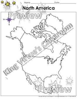
North America Map - U.S. - Blank - Full Page - Continent - Portrait
North America Map - United States Outline - Blank - Full Page - Continent - Portrait - King Virtue's ClassroomWorking on your Map Skills unit? This map is the perfect resource for you! Use it to review this continent from the world map with your students.This set includes:1 map sheetEnjoy!:)Copyright © King Virtue’s Classroom • www.kingvirtuesclassroom.com • All rights reserved.
Subjects:
Grades:
K - 5th
Types:
Also included in: Social Studies MegaBundle - King Virtue's Classroom
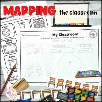
Map the Classroom Geography Prepositional Map Making
This pack contains a fun geography activity that students love - mapping their own classroom! My students have always enjoyed this activity and it's a great way to design a classroom map with cut out and paste features such as desks, chairs and whiteboards. Student can also practice their compass directions with the matching activity sheets. Draw a map and learn about geographic features in map-making. A fantastic way to build upon prepositional language and early mapping skills.SAVE 30% by buyi
Grades:
K - 2nd
Types:
CCSS:
Also included in: Mapping Skills Bundle
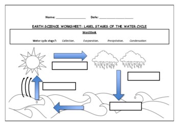
Earth Science worksheet: Label stages of the water cycle
Earth Science worksheet: Label stages of the water cycle2 VERSIONS OF WORKSHEET (Worksheet with a word bank & Worksheet with no word bank)Students have to label the stages of water cycle by looking at the diagram (Evaporation, Collection, Precipitation and Condensation)Students can color in the pictures they are doneWorksheet aimed at higher kindergarten/lower primary levelAnswer Key includedBoth PDF and Editable Word Versions included within the ZIP file
Subjects:
Grades:
K - 6th
Types:
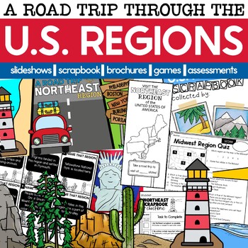
U.S. Regions | Regions of the United States
This resource was completely updated on 1/22/24Looking for an engaging way to teach your students about the U.S. Regions? Take them on a road trip across the U.S.A. Students will create scrapbooks of all the places they've seen and things they've learned about as you travel. Then, they'll create a brochure about their favorite region to convince others they need to visit it, too!Students will learn about landforms, landmarks, natural resources, climate, traditions, and tall tale heroes as they e
Grades:
2nd - 4th
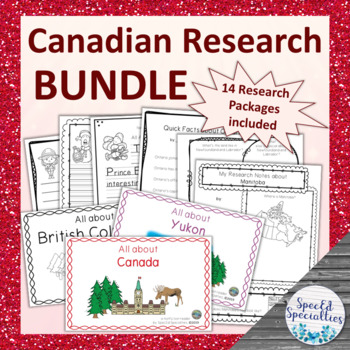
Canadian Provinces & Territories Research Packages BUNDLE
This is a series of 14 differentiated research package containing all of the materials needed to complete research projects on each province & territory of Canada, as well as the the country of Canada. Each research package includes emergent readers, graphic organizers, and writing paper. With simple and accessible materials, these projects are perfect for the special education and regular classroom, early learners, and more!This bundle includes one research package for each province and t
Subjects:
Grades:
2nd - 4th
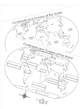
7 Continents and 5 Oceans Blank Map and Answer Key Map
Two sheets designed to help kids practice and teacher's assess the basics of geography. Can you label the map with 7 continents and 5 oceans?
Subjects:
Grades:
K - 5th
Types:
UPDATED 2023 Grade 3 Ontario Social Studies Report Card Comments EDITABLE + BC
UPDATED to align with 2023 Ontario Social Studies curriculum. SAVE TIME and write your best Social Studies REPORT CARDS for Living & Working in Ontario and Communities in Canada. We have also included a separate comment bank for British Columbia Social Studies teachers!Copy and paste directly into your report card program or edit to personalize for your students. Whether you're a new teacher, new to grade 3, or just looking for new ideas, this will help. The comments included in this resourc
Grades:
2nd - 4th
Types:
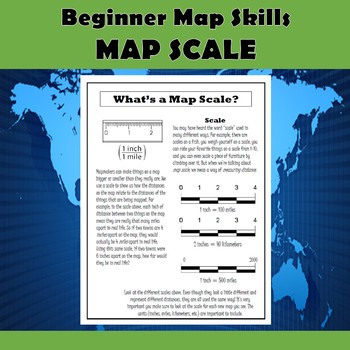
Map Scale Beginner Map Skills Activities
This product contains 5 pages of map skills practice for 2nd-4th graders. The first page introduces the parts of a map (title, compass rose, map key, and scale), and the remaining 4 pages focus on understanding and using map scale. The pages are as follows:1. Parts of a Map2. What's a Map Scale?3. Practicing Map Scale Basics4. Using a Ruler with Scale5. More Map Scale PracticeThese documents provide your students with plenty of practice learning and using map scale in fun and engaging ways. The
Grades:
2nd - 5th
Types:
Showing 1-24 of 2,048 results

