1,296 results
11th grade geography classroom decors
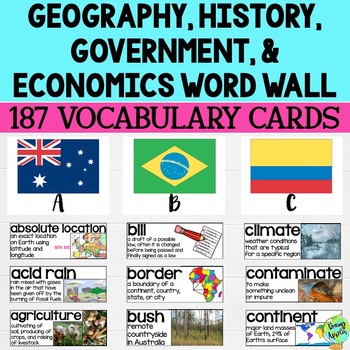
Social Studies Word Wall Vocabulary Cards, Bulletin Board Idea
This product is a word wall to help teach important social studies vocabulary words to students. It can also be used as a social studies bulletin board!The specific regions included are Europe, Australia, Latin America and the Caribbean, and Canada. However, the domains include geography, government, economy, and history, so this resource can be used in most social studies classrooms. Also, many terms are not specific to these regions and can be applied broadly.Each word card includes the vocabu
Grades:
3rd - 11th
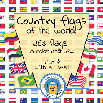
Country flags of the world: 263 Country flags - clip art bundle (1052 clips!)
Country flags of the world: 263 Country flags. HUGE clip art BUNDLE!
This clip art contains 263 flags, in 2 forms (flat and with mast) in color and black & white line art.
Contains all the flags of the countries of the world : 195 Countries.
Look at the complete list of flags by downloading the preview
A total of 1052 clips!
Included:
263 color flag (flat) clip art flag set- PNG format
263 B&W flag (flat) clip art set- PNG format
263 color flag (with mast) clip art set- PNG format
Grades:
PreK - 12th, Higher Education, Adult Education
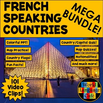
FRANCOPHONE COUNTRIES FRENCH SPEAKING COUNTRIES ⭐ Videos PPT Google Maps Quizzes
Do you struggle to make Francophone countries culture come alive? Want to bring your students on virtual field trips to all the major French speaking countries without ever leaving your classroom? Want to convince even your most reluctant learners to speak French so they can visit all these beautiful places? This is a whole year of Francophone culture. Hours of lesson plans including 101 Francophone countries video clips, colorful photos, facts, nationality practice, flashcards, a research pr
Subjects:
Grades:
2nd - 12th
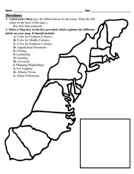
13 Colonies Map Project (8.5x11)
This project has three different differentiated levels for different levels of students, or to have them work up to... This project is set-up to print on 8.5x11 sheets of paper. In the first tier (the easiest), the students are given a map of the thirteen colonies and have to label each colony and then color the Northern/North Eastern Colonies, the Middle Colonies and the Southern Colonies different colors in a map key they create. In the second tier (medium difficulty), the students have to la
Subjects:
Grades:
3rd - 12th
Types:
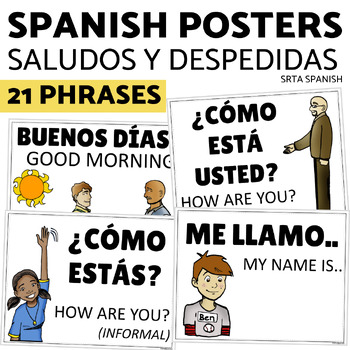
Saludos y Despedidas Classroom Bulletin Board Greetings and Farewells in Spanish
Support your students with this print and hang classroom display! This bulletin board is clear and accessible for your students, and easy for you to use!Print and hang the beautiful posters to give your students a word wall to welcome them into your Spanish classroom. Click here to save on a bundle of resources for Spanish greetings vocabulary!INCLUDED PAGES:21 vocabulary phrasesversions with and without the English supportsPrintable letters for classroom display "Saludos y despedidas"PHRASES IN
Subjects:
Grades:
7th - 11th
Latitude & Longitude + 5 Themes of Geography Anchor Charts
Latitude and Longitude are tricky concepts to teach! I print mini copies of these out for my students to place in their interactive notebooks and I have large copies hanging in my classroom as a reference guide. I have also included my 5 Themes of Teography reference charts as well.
Grades:
4th - 12th
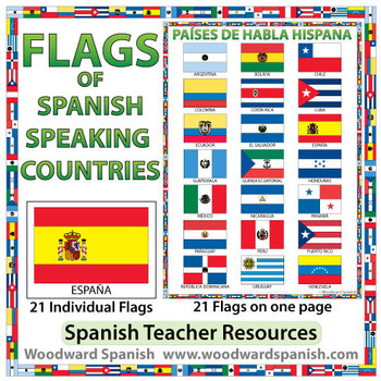
Flags of Spanish-speaking Countries
Flags of the 21 Spanish-speaking countries.
These flags are perfect for decorating the Spanish classroom. You may also want to laminate the flags and use them as large flashcards.
There are 21 individual flags of the following Spanish-speaking countries: Argentina, Bolivia, Chile, Colombia, Costa Rica, Cuba, Ecuador, El Salvador, España, Guatemala, Guinea Ecuatorial, Honduras, México, Nicaragua, Panamá, Paraguay, Perú, Puerto Rico, República Dominicana, Uruguay, Venezuela.
Each flag is on its
Subjects:
Grades:
1st - 12th, Adult Education
Also included in: Spanish Bundle – Spanish-speaking Countries and Capitals
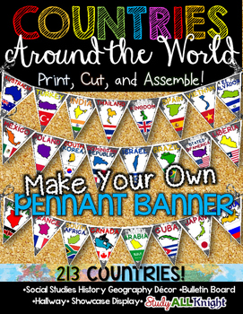
Countries Around the World Classroom Decor Make Your Own Pennant Banner
Worldwide Countries Classroom Decor Make Your Own Pennant BannerGrades K-12 social studies, history, geography, Model UN, global studies, world history Celebrate our world! Teachers can decorate their classrooms, hallway, gymnasium, media center, or anywhere in their building. You'll get 213 pennants to choose from. Pick pennants that represent your student's heritage, ethnicities, backgrounds, ancestry. They are colorful and awesome to look at. The countries pennant will bring enthusiasm and un
Grades:
PreK - 12th, Higher Education, Adult Education, Staff
Also included in: English Teacher Activities and Fun Bundle
Social Studies Mega Bulletin Board Bundle
This Mega Bundle includes ALL of my best-selling Social Studies Bulletin Boards!"Be an Upstander" Interactive Bulletin BoardThis resource is appropriate for middle and high school students. 30 cards are included in this resource including terminology (stereotypes, prejudice, discrimination, bystander, upstander, change agent, implicit bias), 12 quote/task cards from upstanders in history, and more!An instruction sheet with teaching tips and "Upstander Response Cards" are also included in this re
Subjects:
Grades:
6th - 12th, Higher Education, Staff
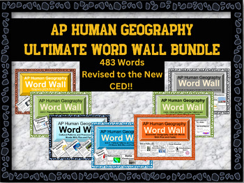
AP Human Geography Word Wall MEGA BUNDLE
This word wall has newly updated to the new CED and revised June 2023!This word wall has 438 words which are listed belowIf you're teaching AP Human Geography, then you know the immense amount of vocabulary your students need to know to be successful in the class. Help them out with these visually appealing word walls! Click on each word wall to see the list of words that are in the bundleFirst year or veteran teachers will love these. Print out all the words or the ones you are mainly teaching
Subjects:
Grades:
9th - 12th
Types:
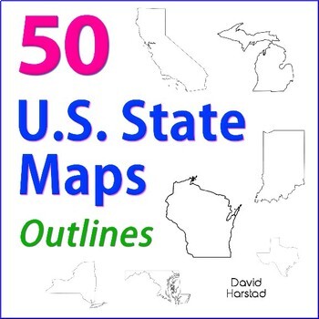
GEOGRAPHY | 50 U.S. State Maps Outlines (K-12)
GEOGRAPHY | 50 U.S. State Maps Outlines (K-12). Map outlines for all American occasions: history, physical, political, or specialty. Ideal for reports, labeling, or patriotic projects. Unfortunately, maps will not create a scaled puzzle. Preview same as Download.About the collection:Files are 8.5" x 11" in PDF & PNG. Product purchase is for organizational services. Maps are compiled from various free online sources and clarity is not always consistent. Please view Preview to see if maps mee
Grades:
K - 12th
Types:
Also included in: Top 20 Best Sellers
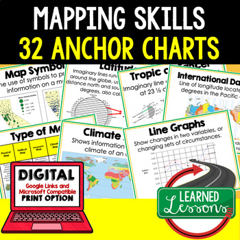
Mapping Skills Anchor Charts (World Geography Anchor Charts), Posters, Google
Mapping Skills Anchor Charts (Great as Bellringers, Word Walls, and Concept Boards), Mapping Skills Posters, Geography Review Pages, Digital Activity via Google Classroom This bundle will take your through the entire Geography curriculum. It will include all components of Geography. This is perfect for traveling around the world in style. THIS IS ALSO PART OF World Geography MEGA BUNDLE, Mapping Skills BUNDLE, Geography ANCHOR CHART BUNDLE Anchor charts are great for representing the topics
Grades:
6th - 12th
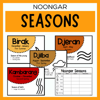
Noongar Australian Aboriginal Seasons Calendar & Worksheet - Nyoongar
✏️ Celebrate the rich cultural heritage of the Noongar Indigenous Aboriginal Australians with our Seasons Calendar & Worksheet! This comprehensive resource includes 7 display posters (with an alternate spelling of Nyoongar) and a worksheet to help students learn about the traditional Noongar seasons. With a link to the Indigenous Weather Map, this resource is an excellent tool to support teaching and learning about Indigenous culture and weather patterns. What's Included?7 Display Posters (+
Subjects:
Grades:
PreK - 12th
Also included in: Noongar Vocabulary Bundle | Aboriginal Language Resource
Early American History Anchor Charts Mega Bundle!
This is a mega bundle of anchor charts that will cover Early American History: Colonialism through Reconstruction, but they can be used by any American History teacher. This bundle currently contains 244 Anchor Charts. This is less than $.25 an anchor chart!Additionally, I am adding Black and White/Grey copies of many of the anchor charts. These are not new charts, but ones that will copy easy and cleanly for student handouts. This is a bonus file for bundle purchasesIf you are not intereste
Grades:
4th - 11th
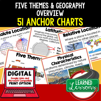
Five Themes of Geography Anchor Charts (World Geography Anchor Charts), Posters
Five Themes and Geography Anchor Charts (Great as Bellringers, Word Walls, and Concept Boards), Five Themes Posters, Geography Review Pages, Google Classroom, Print & Digital Distance Learning This bundle will take your through the entire Geography curriculum. It will include all components of Geography. This is perfect for traveling around the world in style. THIS IS ALSO PART OF World Geography MEGA BUNDLE, Five Themes BUNDLE, Geography ANCHOR CHART BUNDLE Anchor charts are great for
Grades:
6th - 12th
Types:
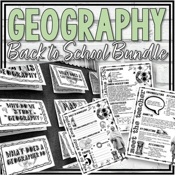
Geography Back to School Bundle
My Geography Back to School Bundle includes:Intro to Geography Interactive Bulletin Board and Notes Pages:This resource includes 38 cards to be used in an interactive bulletin board display. Topics included are: What is Geography? Why Does Geography Matter? What Does a Geographer Do? What are the 5 Themes of Geography? Map Essentials and much, much more!This resource also includes two visually appealing notes pages that may be used in conjunction with the bulletin board or may be used alone. Goo
Grades:
6th - 11th
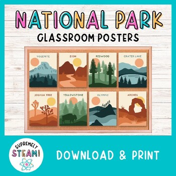
National Park Posters Set of 24 - Adventure Bulletin Board & Classroom Decor!
NATIONAL PARK DECOR - Printable Classroom Posters!Set of 24 Hand-Designed National Park Posters:Brighten up your classroom with these national park posters! Each poster offers a minimalistic design of a national park with the park's name included. You can easily download, print, and display these posters in a manner of minutes. Students will definitely take notice of these eye-catching posters!Included in Your Download:• 24 hand-designed national park posters• Each poster has a 4x5 ratio (helpfu
Subjects:
Grades:
PreK - 12th
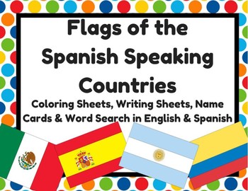
Flags of Spanish Speaking Countries Activities (Banderas paises hispanohablantes
Flags of Spanish Speaking Countries Activities (Banderas de los paises hispanohablantes)2- Sheets with all 21 Spanish speaking countries (small)21- Flag with name of country (English & Spanish versions) 2- Writing sheets that could be copied on the back (10 facts about... & I know a lot about___) (English & Spanish versions) 1- Word search (English & Spanish versions) 1- Flags quiz (students write in name of flag) (English & Spanish versions)
Subjects:
Grades:
K - 12th
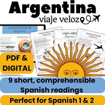
Argentina Comprehensible Spanish Reading about Argentina Viaje Veloz CI Lecturas
Spanish students learn about Argentina with short, comprehensible readings in Spanish. Three pages with 9 short readings in easy-to-understand language, perfect for Spanish 1 or 2. TThis country study unit is printable, digital, and ⭐️ Google Classroom™ ready! Plus bell ringers, bulletin board elements, & comprehension questions included!★ Click here to save 35% on the BUNDLE! ★These nine "bite sized," short readings introduce students to interesting facts about Argentina's geography and cul
Subjects:
Grades:
6th - 12th
Also included in: Build Your Own Bundle BYOB of Spanish Resources Special Order for Ms T
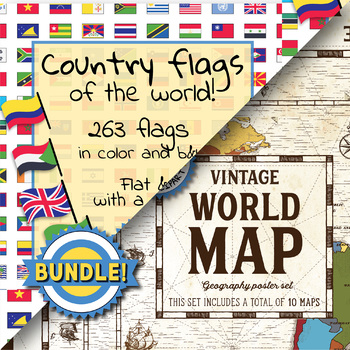
Country flags of the world & World map and continent - School Clip Art - BUNDLE
BUNDLE! Country flags of the world & World map and continent Product #1: Link to the productCountry flags of the world: 263 Country flags. HUGE clip art BUNDLE!This clip art contains 263 flags, in 2 forms (flat and with mast) in color and black & white line art.Contains all the flags of the countries of the world : 195 Countries.Look at the complete list of flags by downloading the previewA total of 1052 clips!Included:263 color flag (flat) clip art flag set- PNG format263 B&W flag
Grades:
PreK - 12th, Higher Education, Adult Education, Staff
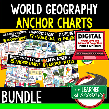
Geography Anchor Charts BUNDLE (World Geography Bundle), Geography Poster
Geography Anchor Charts BUNDLE (Great as Bellringers, Word Walls, and Concept Boards), Geography Review Pages, Geography Posters and a Digital Activity for Google ClassroomThis bundle will take your through the entire Geography curriculum. It will include all components of Geography. This is perfect for traveling around the world in style. THIS IS ALSO PART OF A WORLD GEOGRAPHY MEGA BUNDLE TO SAVE $$$ Anchor charts are great for representing the topics covered with bright and clear visuals
Grades:
8th - 11th
Types:
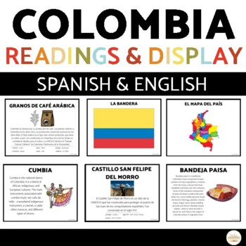
Colombia Culture Readings Classroom Display | Spanish English
Introduce your students to culture through reading! This printable activity is clear and accessible for your students, and easy for you to use!Students read and complete comprehension activities on the country of Colombia! The readings, graphic organizer, and comprehension questions are included in Spanish and English so you can choose which language best suits your students at their level.Click here to save 20% in a bundle of similar resources!INCLUDED PAGES:13 informational pages in Spanish an
Subjects:
Grades:
7th - 11th
Five Themes of Geography Posters! 5 posters for Geography Bulletin Boards!
Five Themes of Geography Posters! 5 posters for Geography Bulletin Boards!This geography resource is included in the 11-resource, All Things Geography Bundle, located here!---In this purchase, you receive five engaging posters for the five themes of geography that you can place around your room, on bulletin boards, on walls, doors, or anywhere you want to remind students how each theme works! Each of the five themes is included (Location, Place, Interaction, Region, and Movement) and each provi
Grades:
3rd - 12th
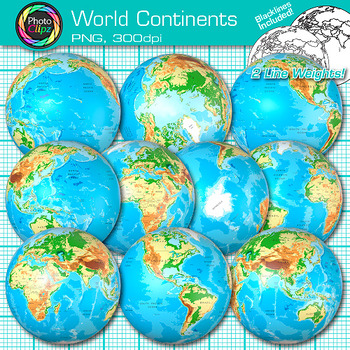
World Continent Clipart: Earth Seven Continents Map Geography Clip Art PNG
World Continent Clip Art: Explore the seven continents with your buddying social studies students using this pack of globe clipart. Create exciting visuals to teach about the seven continents of planet Earth. Design posters to illustrate the difference between the four hemispheres for your world geography unit. Make worksheets to instruct your students on learning map skills, longitude and latitude, as well as cardinal directions.WHAT IS CLIP ART?Clip art (or "clipart") are digital images that c
Grades:
PreK - 12th
Showing 1-24 of 1,296 results


