3,046 results
6th grade geography classroom decors
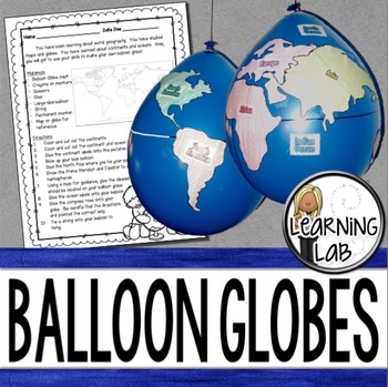
Geography - Balloon Globes - World Maps
World Geography can be boring for students but you can make it FUN! Your kiddos will LOVE creating their own globe using a balloon and cut-outs.This set includes: Student materials list and directions, detailed continent shapes, more broad continent shapes (easier cutting), compass graphic, continent labels, ocean labels, North Pole labels, reference map of the world. Balloon Suggestion (affiliate link): 12"latex balloons (100 count), Royal BlueDon't want to use a balloon? Some teachers hav
Subjects:
Grades:
3rd - 6th
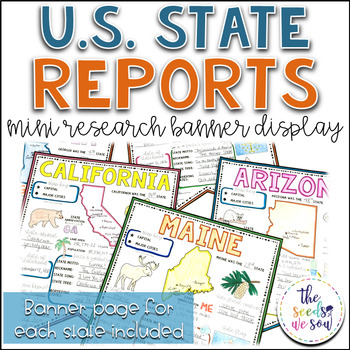
State Report Research and Banner Display Project
If you're looking for an alternative way for your students to research and report on states in the U.S., then look no further. These research banners are not only engaging and educational, they are also visually appealing and provide a great classroom/hallway display.This set includes:● 50 visually appealing state banners● 50 state banners with writing lines (and state flag)● 50 blank state banners for student creativity● Teacher lesson plan page (includes research web sites)● Student recording
Grades:
5th - 8th
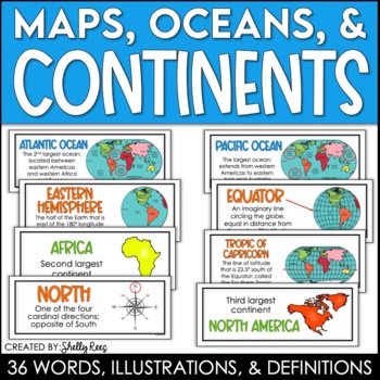
Continents and Oceans Maps and Posters | Geography and Maps Word Wall
Continents and Oceans and Map Skills can be fun to teach, especially when you have this great set of word wall cards. Each card includes the word, definition, and a clear, colorful illustration. Make a great bulletin board in just minutes!Click HERE to save 20% with the Continents, Oceans, and Map Skills BUNDLE!Please click on the PREVIEW above to get a clear picture of everything included.PERFECT for visually reinforcing landform vocabulary!This helpful continents, oceans, and maps word wall se
Grades:
2nd - 8th
Also included in: Maps, Continents and Oceans, Landforms, and Map Skills Bundle
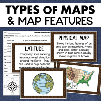
Types of Maps Map Features Skills Geography Posters Social Studies Assessment
Students will learn about different types of maps and common map features with this social studies resource. It includes 17 visuals/posters plus a worksheet/assessment.MAPS POSTERSThese can be kept together as a single page or cut apart into separate cards for display or a matching activity. The top of each card has the title and definition, and the bottom has a full-color illustration. WORKSHEETThis activity requires students to match the types of maps to their purpose, know the function of var
Subjects:
Grades:
3rd - 6th
Types:
Also included in: Geography Landforms & Bodies of Water Types of Maps Map Elements Posters
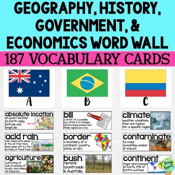
Social Studies Word Wall Vocabulary Cards, Bulletin Board Idea
This product is a word wall to help teach important social studies vocabulary words to students. It can also be used as a social studies bulletin board!The specific regions included are Europe, Australia, Latin America and the Caribbean, and Canada. However, the domains include geography, government, economy, and history, so this resource can be used in most social studies classrooms. Also, many terms are not specific to these regions and can be applied broadly.Each word card includes the vocabu
Grades:
3rd - 11th
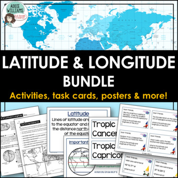
Latitude and Longitude Bundle - Activities, Task Cards, & Posters
Latitude and Longitude - Everything you need to teach and practice latitude and longitude skills! 1. Latitude & Longitude Reference Sheets and Activities - reference sheets, worksheets and activities to teach students how to find a spot on the globe using latitude and longitude. Includes answer keys. 11 pages.2. Latitude & Longitude Task Cards - 4 different sets of task cards (12 cards per set, Canadian set has 14) with varying degrees of difficulty. Includes answer keys. Includes se
Subjects:
Grades:
5th - 9th
Types:
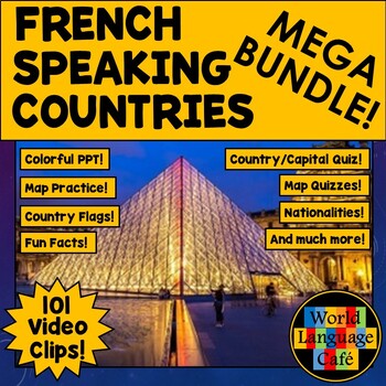
FRANCOPHONE COUNTRIES FRENCH SPEAKING COUNTRIES ⭐ Videos PPT Google Maps Quizzes
Do you struggle to make Francophone countries culture come alive? Want to bring your students on virtual field trips to all the major French speaking countries without ever leaving your classroom? Want to convince even your most reluctant learners to speak French so they can visit all these beautiful places? This is a whole year of Francophone culture. Hours of lesson plans including 101 Francophone countries video clips, colorful photos, facts, nationality practice, flashcards, a research pr
Subjects:
Grades:
2nd - 12th
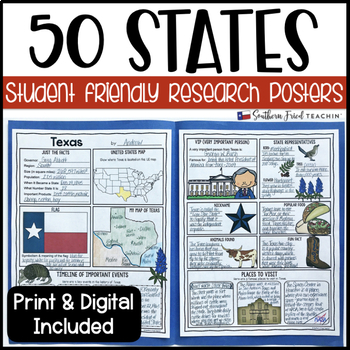
State (United States) Research Project Posters - Printable & Digital
States Research Project Posters are a fun and simple way for your students to research the states. These project posters are student friendly and help guide your students in what exactly to research. These posters are perfect for students to display their state research! And they look fabulous on a bulletin board or hallway display!This is part of my HUGE GROWING BUNDLE OF RESEARCH PROJECT POSTERS. This is includes ALL of my research project posters. Your students could become research experts a
Grades:
3rd - 8th
Types:
Also included in: GROWING BUNDLE Research Project Posters
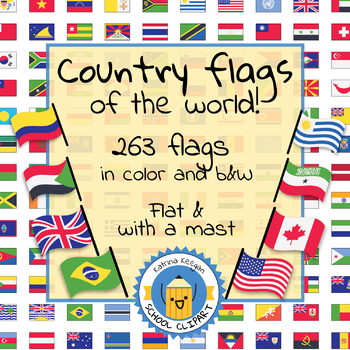
Country flags of the world: 263 Country flags - clip art bundle (1052 clips!)
Country flags of the world: 263 Country flags. HUGE clip art BUNDLE!
This clip art contains 263 flags, in 2 forms (flat and with mast) in color and black & white line art.
Contains all the flags of the countries of the world : 195 Countries.
Look at the complete list of flags by downloading the preview
A total of 1052 clips!
Included:
263 color flag (flat) clip art flag set- PNG format
263 B&W flag (flat) clip art set- PNG format
263 color flag (with mast) clip art set- PNG format
Grades:
PreK - 12th, Higher Education, Adult Education
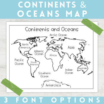
World Map Continents and Oceans | Black and White | Coloring Sheet
Enhance your minimalist classroom with these Black and White World Map with labeled Continents and Oceans!These black and white world map features each of the 7 continents and 5 oceans accurately labeled. These maps are great to print out, laminate, and hang up in a minimalist or neutral classroom. These maps are also great to print out and make copies for students to color! Please feel free to make copies of this resource for your students, or for your own kiddos.Updated 7/17/2022: There are no
Grades:
PreK - 9th
Types:
Map Skills: Latitude and Longitude
Geography is such an abstract and difficult concept for students, but it is important that they begin to orient themselves as they read, learn and discover more about the world around them. This set has helped my classes make the abstract more concrete.
-Vocabulary Foldable (pages 3-4)
-Vocabulary Cards and picture cards (pages 5-8)
-CLOSE Read about Longitude and Latitude
-An adapted Craftivity (pages 9-12)
-Written Reflection (differentiated) (pages 13-14)
-Performance Task/ Group Challenge
Grades:
3rd - 7th
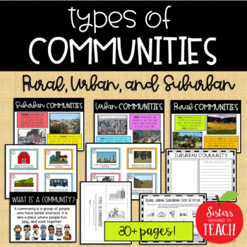
Types of Communities │Rural, Urban, & Suburban
This is the perfect bundle to use when teaching your students about the different types of communities (rural, suburban, and urban)! Your students will enjoy these hands on activities and task cards, which are great to use in centers. Posters are also provided for your students to refer to. Included in this bundle:-"What is a Community" Poster-Rural Communities Poster-Urban Communities Poster-Suburban Communities Poster-Rural, Urban, and Suburban Picture Cards (1 page each, 4 images to a page)-R
Subjects:
Grades:
K - 6th
Types:
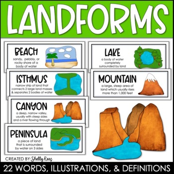
Landforms and Bodies of Water Posters and Word Wall
Landforms and bodies of water can be fun and easy to teach, especially when you have this beautiful set of word wall cards. Each card includes the word, definition, and a clear, colorful illustration. EASILY make an amazing landforms wall display in minutes!Click HERE to save 20% with the Continents, Oceans, Maps, and Landforms BUNDLE!Please click on the PREVIEW above to get a clear picture of everything included.This complete landform word wall set includes 22 vocabulary posters:basinbaybeachca
Grades:
3rd - 6th
Also included in: Maps, Continents and Oceans, Landforms, and Map Skills Bundle
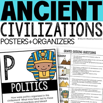
Ancient Civilizations GRAPES Posters Ancient Greece Ancient Rome Ancient China
Help your students learn and organize info about ancient civilizations with these G.R.A.P.E.S. posters, guiding questions, and graphic organizers! The GRAPES Ancient Civilizations Poster and Graphic Organizer Set is an easy acronym to organize information for the basic traits of ancient civilizations. G.R.A.P.E.S. is an acronym for:G- GeographyR- ReligionA- AchievementsP- PoliticsE- EconomicsS- Social StructureGRAPES is an effective way to learn and organize information about different civilizat
Grades:
6th - 8th
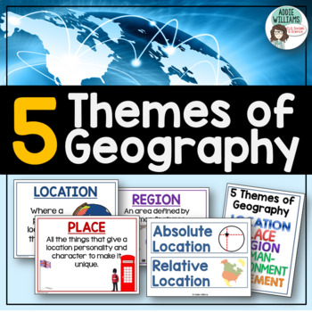
Five Themes of Geography Posters and Word Wall
Five Themes of Geography Poster and Word Wall Set - includes 16 posters and 16 word wall strips! One poster and word wall strip for each of the five themes and their sub-topics! Great way to help students remember and learn to apply the Five Themes!Location - Absolute and RelativePlace - Human and PhysicalRegion - Formal, Functional, and VernacularHuman Environment Interaction - Adapt, Depend, and InteractMovement Also, check out FREE Five Themes of Geography ProjectAddie Williams
Subjects:
Grades:
6th - 10th
Types:
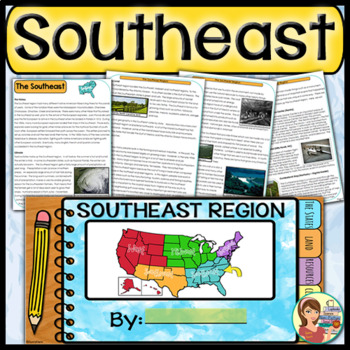
US Regions: Southeast Region (Print and Digital)
This is a comprehensive resource that explores the twelve states in the Southeastern region. A non-fiction informational text packet covers the region’s history, climate, land, economy, natural resources and landmarks. Several other items are included in this resource as well. Please see below for more details. UPDATE: Mississippi's new flag has been added to the poster.★ ★ ★ BUNDLE ALERT! DO NOT MISS THE SAVINGS! ★ ★ ★SAVE 20% OFF individual unit prices when you purchase the Five Regions of
Grades:
4th - 6th
Types:
Also included in: 5 Regions of the United States BUNDLE (Print and Digital)
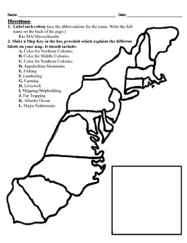
13 Colonies Map Project (8.5x11)
This project has three different differentiated levels for different levels of students, or to have them work up to... This project is set-up to print on 8.5x11 sheets of paper. In the first tier (the easiest), the students are given a map of the thirteen colonies and have to label each colony and then color the Northern/North Eastern Colonies, the Middle Colonies and the Southern Colonies different colors in a map key they create. In the second tier (medium difficulty), the students have to la
Subjects:
Grades:
3rd - 12th
Types:
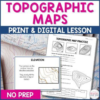
Topographic Maps Complete Lesson | Topographic Map Activity
Your students will be reading topographic maps in a snap with this complete topographic map lesson. Included in this digital and print topographic map lesson are no-prep resources to teach your students to read contour lines, determine contour intervals, and identify elevation. The digital version can easily be shared in Google Classroom.Take a look at the in-depth preview for a closer look at this topographic map resource! Included in this topographic map resource:Topographic Map Presentation
Subjects:
Grades:
4th - 8th
NGSS:
4-ESS2-2
Also included in: Topographic Map Activity and Topographic Map Worksheets Bundle
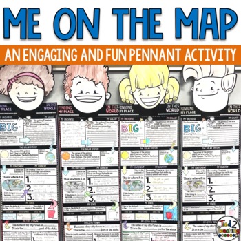
Me On the Map Activities
As you begin to work on map skills and geography this year, this me on a map activity is a fun way to help your students understand their place in this world. These pennants are the perfect way to integrate social studies, geography, literacy, and fun with the celebration of the uniqueness of each student. As students complete this fun activity they will show that there is only one special "Me" in the universe. Celebrate each child as being special and unique as they share about their place in
Grades:
2nd - 6th
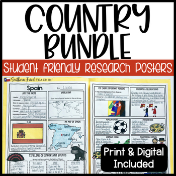
Country Research Project Posters BUNDLE - Printable & Digital
Country Research Project Posters are a fun and simple way for your students to research countries around the world. These project posters are student friendly and help guide your students in what exactly to research. These posters are perfect for students to display their research! And they look fabulous on a bulletin board or hallway display!As of now I have THREE sets of countries included in this bundle, but I am hoping to include more in the future. When I add more countries, the price will
Grades:
3rd - 6th
Types:
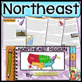
US Regions: Northeast Region (Print and Digital)
This comprehensive resource explores the eleven states in the Northeastern region. A non-fiction informational text packet covers the region’s history, climate, land, economy, natural resources and landmarks. Several other items are included in this resource as well. Please see below for more details.UPDATE: This resource now includes GOOGLE SLIDE versions for the student worksheets, booklet and the PowerPoint presentation.★ ★ ★ BUNDLE ALERT! DO NOT MISS THE SAVINGS! ★ ★ ★SAVE 20% OFF individ
Grades:
4th - 6th
Types:
Also included in: 5 Regions of the United States BUNDLE (Print and Digital)
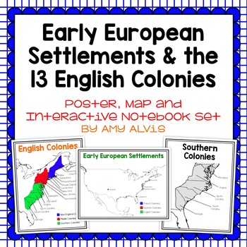
Early European Settlements & 13 English Colonies Poster and INB
This poster, map and interactive notebook INB set covers covers the early American settlements of Santa Fe, St. Augustine, Roanoke Island, Jamestown, Plymouth and Quebec as well as the original 13 colonies.You will get the following:pg. 3: Poster of Early European Settlements (Santa Fe, St. Augustine, Roanoke Island, Jamestown, Plymouth, and Quebec)pg. 4: Map of Early European Settlements where students can map where each settlement was.pg. 5-12: Posters of 13 Coloniespg. 13: Map page for stud
Grades:
5th - 9th
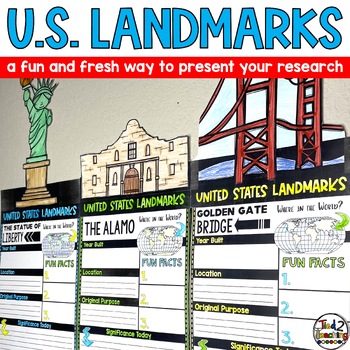
United States US Landmarks Research Report Template Project Report Writing
Introducing our captivating "United States Landmarks Research Report Pennant Banners"! Designed to elevate your classroom experience, this comprehensive set features 15 visually stunning pennants that will showcase your students' landmark research projects in a remarkable way. From coast to coast, these pennants showcase iconic landmarks from around the United States, providing an engaging and educational tool that seamlessly integrates with your social studies curriculum. With these pennants, y
Subjects:
Grades:
3rd - 6th
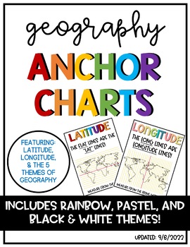
Latitude & Longitude + 5 Themes of Geography Anchor Charts
Latitude and Longitude are tricky concepts to teach! I print mini copies of these out for my students to place in their interactive notebooks and I have large copies hanging in my classroom as a reference guide. I have also included my 5 Themes of Teography reference charts as well.
Grades:
4th - 12th
Showing 1-24 of 3,046 results


