3,646 results
11th grade geography handouts
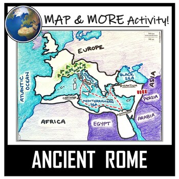
Ancient Rome Map Activity- Roman Empire (Label and Color!)
This Ancient Rome Map Coloring & Labeling Activity is a great resource to enhance your unit! Each student will make their own, personalized map of the Roman Empire, and learn about the geography and landmarks of the region. They will label and color their blank map, and answer follow-up questions related to the geography of Ancient Rome. A fun 'Make a Travel Brochure' project has also been added. It is a great way to connect this map activity to your lesson on Ancient Rome! A link to Goo
Grades:
4th - 11th
Types:
CCSS:
Also included in: Ancient Civilizations / World Maps BUNDLE- Color & Label Activities!
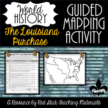
Mapping The Louisiana Purchase--No PREP!
This ready-to-use Mapping the Louisiana Purchase will give students a, 12-step guided mapping activity on the Louisiana Purchase. All students need to complete the assignment is n American History Textbook, Atlas, OR the internet. This is a great activity to leave with a substitute since it requires only a textbook, crayons, and no prep!Included is the 12-step Mapping the Louisiana Purchase handout and the time period-specific Map. The 12-step handout also serves as a grade sheet/checklist
Grades:
7th - 11th
Types:
Also included in: Guided Mapping Growing Bundle for Early American History--NO PREP!
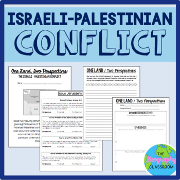
Israel Palestine Conflict History Set
This set includes several resources and activities to use when teaching the complicated Israeli-Palestinian conflict. This set includes:- A short reading on the "two-state solution"- Several primary source documents that help students understand the major issues preventing a two-state solution. As students read the documents, they have to decide whether each document has a pro-Israeli perspective, a pro-Palestinian perspective, or a neutral perspective. - 12 page PowerPoint slides for teachers t
Grades:
6th - 12th
Types:
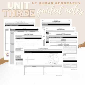
Unit 3: Student Guided Notes - AP Human Geography
Notes pages for each CED topic for Unit Three.Use the guided notes to scaffold your Human Geography lectures or use the notes with my accompanying lecture slideshow! You can find slideshow lectures that correlate directly with EACH CED Topic for AP Human Geography Unit 3 here.Students can use as a study guide, you can assign for homework, or use with a self-guided lecture! You can assign this to be completed digitally for distance learning or print and have students complete hardcopy.So many use
Subjects:
Grades:
9th - 12th
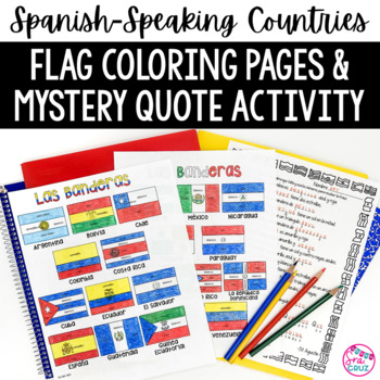
Spanish Speaking Countries Flags Worksheets Spanish Colors Coloring Pages
These coloring pages practice Spanish colors using flags of Spanish-speaking countries. Line versions of each flag have the color in Spanish for each section of the flag (rojo, blanco, azul, etc.) It also includes a mystery phrase activity in basic Spanish using clues about each flag. Ex. La bandera de Colombia es ___, azul, y roja. The answers help solve the secret phrase which is a quote about travel. The answer key for the mystery phrase page is included.These can be copied front and bac
Subjects:
Grades:
4th - 12th
Types:
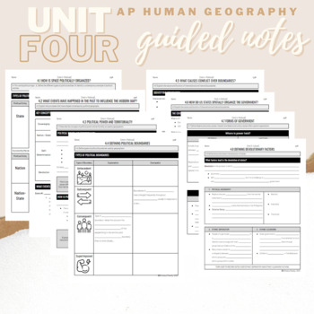
Unit 4: Student Guided Notes - AP Human Geography
Notes pages for each CED topic for Unit Four.Use the guided notes to scaffold your Human Geography lectures or use the notes with my accompanying lecture slideshows! You can find slideshow lectures that correlate directly with EACH CED Topic for AP Human Geography Unit 4 here.Students can use as a study guide, you can assign for homework, or use with a self-guided lecture! You can assign this to be completed digitally for distance learning or print and have students complete hardcopy.So many use
Subjects:
Grades:
9th - 12th
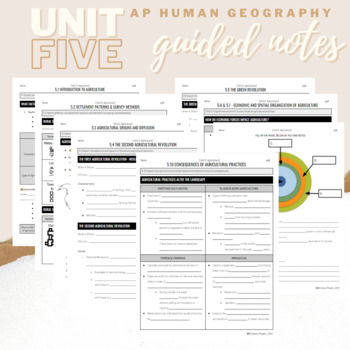
Unit 5: Student Guided Notes - AP Human Geography
Notes pages for CED topics 5.1-5.10 for Unit Five. *NOTE: THIS IS MISSING TOPICS 5.11 and 5.12*Use the guided notes to scaffold your Human Geography lectures or use the notes with my accompanying lecture slideshows! You can find slideshow lectures that correlate directly with EACH CED Topic for AP Human Geography Unit 5 here.Students can use as a study guide, you can assign for homework, or use with a self-guided lecture! You can assign this to be completed digitally for distance learning or pri
Grades:
9th - 12th
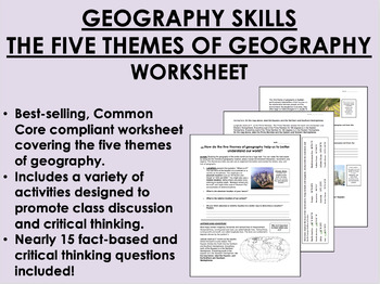
Geography Skills - The Five Themes of Geography worksheet
Geography Skills - The Five Themes of Geography worksheetBEST SELLER!AIM: How do the five themes of geography help us to better understand our world?Common core compliant worksheet that introduces students to the five themes of geography as a tool for understanding our world. Includes a variety of student-centered activities designed to promote critical thinking and class discussion. Topics covered in this worksheet include:The five themes of geography – location, place, human-environment intera
Grades:
7th - 12th
Types:
Also included in: 9th Grade Global/World History MEGA Bundle
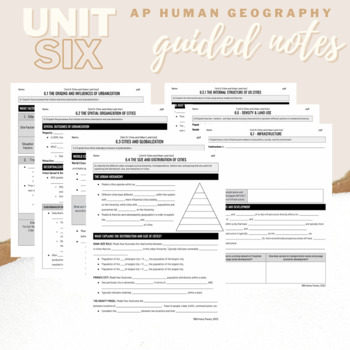
Unit 6: Student Guided Notes - AP Human Geography
Notes pages for each CED topic for Unit Six.Use the guided notes to scaffold your Human Geography lectures with my accompanying lecture slideshows! You can find slideshow lectures that correlate directly with EACH CED Topic for AP Human Geography Unit 6 here.Students can use as a study guide, you can assign for homework, or use with a self-guided or in-person lecture! You can assign this to be completed digitally for distance learning or print and have students complete hardcopy.So many uses!
Grades:
9th - 12th, Higher Education
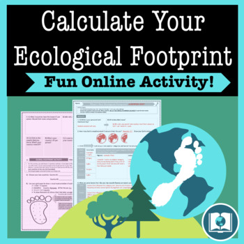
My Ecological Footprint: Fun Online Activity and Worksheet about Climate Change
Take your class to the computer lab for a fun and engaging activity! Students will use an interactive website to find out how their lifestyle determines their ecological footprint and impacts our planet. This activity is the first step in a fun lesson that spans two classes and gets your students learning about the environmental impact of the choices we make every day. This lesson fits perfectly into a unit or course about climate change, environmentalism, geography or world issues. There is lit
Subjects:
Grades:
9th - 12th
Types:
Also included in: Climate Change and Environmental Sustainability Bundle for High School
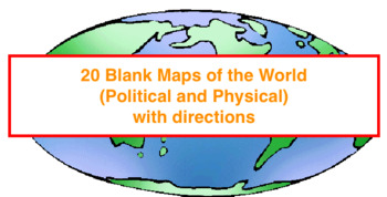
20 Blank Maps of different regions of the world (Political & Physical Maps)
I have created 8 groups of blank maps along with the political (cities, states, countries) and physical (rivers, oceans, mountains etc.) that need to be labeled and colored for each.The maps included are:1. Physical map of the world2. Political and Physical maps of Africa3. Political and Physical maps of South (Latin) America4. Political and Physical maps of US & Canada (One political map of the US, One political map of Canada and then a physical map that contains the US and Canada).5. Polit
Grades:
4th - 12th
Types:
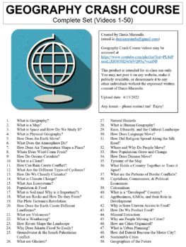
Crash Course Geography Worksheets Complete Set (Full Bundle Collection)
This ZIP file contains Microsoft Word document worksheets (along with PDF versions) for each of the fifty episodes of Crash Course Geography hosted by Alize Carrere.Worksheets contain a combination of fill-in-the-blank and short answer questions. Each worksheet is accompanied with an answer key and relevant images.By purchasing this file, you agree not to make it publicly available (on external websites, etc.) or to share with any other teachers. It is intended for classroom use only. You *are*
Subjects:
Grades:
9th - 12th, Higher Education
Types:
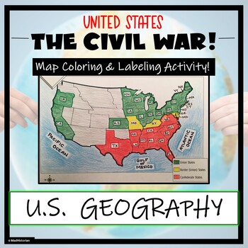
Civil War Map- Label and Color Activity!
This Civil War Map Activity is a great supplemental piece to a unit on the United States Civil War! Students will identify, label, and color the Union states, Border states, and Confederate states, and then color all three regions. Directions for labeling and coloring is provided. A completed and colored map is provided for reference, but this map can be completed using a textbook or online resource as well. This is a creative and engaging way of supplementing lessons on American History! The
Grades:
6th - 11th
Types:
CCSS:
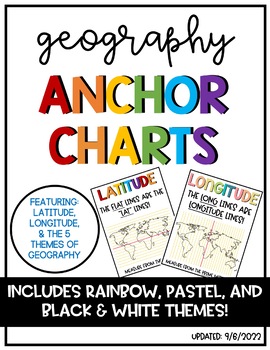
Latitude & Longitude + 5 Themes of Geography Anchor Charts
Latitude and Longitude are tricky concepts to teach! I print mini copies of these out for my students to place in their interactive notebooks and I have large copies hanging in my classroom as a reference guide. I have also included my 5 Themes of Teography reference charts as well.
Grades:
4th - 12th
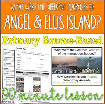
Angel & Ellis Island - Comparing the Different Immigration Stations
Students will compare and contrast primary source documents to determine the different purposes of Angel and Ellis Island and how immigrants were treated at each station. Students will learn about the following concepts and vocabulary terms:Angel IslandEllis IslandPort of EntryNationality Push and Pull Factors NativismDemographic PatternsChinese Exclusion ActImmigration Act of 1891This comes with a completed lesson plan, a powerpoint with a warm-up, closure, instructions, primary source document
Grades:
10th - 12th
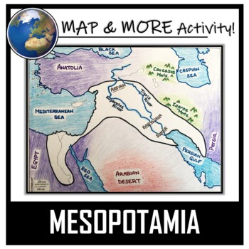
Mesopotamia Map Activity- Fertile Crescent (Assyria, Babylon, Sumer)
This Mesopotamia Coloring & Labeling Activity is a great resource to enhance your unit! Each student will make their own, personalized map of the Fertile Crescent of Mesopotamia, and learn about the geography and landmarks of the region! They will label and color their blank map, and answer follow-up questions related to the geography of Mesopotamia. A link to Google Compatible directions, questions, and a sample map has also been added.Included:- A Blank Map- Map Directions (with suggeste
Grades:
5th - 11th
Types:
CCSS:
Also included in: Ancient Civilizations / World Maps BUNDLE- Color & Label Activities!
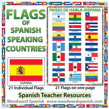
Flags of Spanish-speaking Countries
Flags of the 21 Spanish-speaking countries.
These flags are perfect for decorating the Spanish classroom. You may also want to laminate the flags and use them as large flashcards.
There are 21 individual flags of the following Spanish-speaking countries: Argentina, Bolivia, Chile, Colombia, Costa Rica, Cuba, Ecuador, El Salvador, España, Guatemala, Guinea Ecuatorial, Honduras, México, Nicaragua, Panamá, Paraguay, Perú, Puerto Rico, República Dominicana, Uruguay, Venezuela.
Each flag is on its
Subjects:
Grades:
1st - 12th, Adult Education
Also included in: Spanish Bundle – Spanish-speaking Countries and Capitals
Planet Earth - All 11 Episodes Bundle - Worksheets & Keys - PDF & Digital
These Video Response Worksheets and Keys are based on the BBC documentary series "Planet Earth (Season 1)."(NOTE: These worksheets are based on the British version of Planet Earth [Season 1], narrated by David Attenborough. It uses the metric system and is, at the time of this posting, the version currently showing on Netflix and Amazon.)You will receive a zip file which contains a multi-episode bundle of all 11 Video Response Worksheets and Keys in PDF format and access to all 11 TpT Digital Ac
Subjects:
Grades:
5th - 12th, Adult Education
Types:
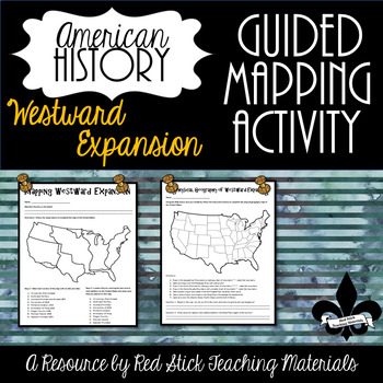
Mapping Westward Expansion Activity--No PREP!
This ready to use Mapping Westward Expansion Activity will give students two different mapping activities. All students need to complete is an American History text book or websites on Westward Expansion. This is a great activity to leave with a substitute, since it requires no prep!Included is Mapping Westward expansion, where students are asked to map the different purchases, treaties and military conquest that helped America fulfil Manifest Destiny. The second activity is the Physical Geog
Grades:
7th - 11th
Types:
Also included in: Guided Mapping Growing Bundle for Early American History--NO PREP!
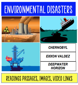
Environmental Disasters: Chernobyl, Exxon Valdez Oil Spill, BP Deepwater Horizon
Environmental DisastersCan be used in Global History, Human Geography, Environmental Studies classes. CHERNOBYL CATASTROPHEEXXON VALDEZ OIL SPILLBP DEEPWATER HORIZON EXPLOSIONThis resource contains a 12-page packet exploring each of the topics above. The packet includes images, maps and guiding questions. The content addresses the background of the issue, what happened in the event, its economic and environmental impacts, and long term aftermath. The final page discusses "Lessons Learned" and su
Subjects:
Grades:
6th - 12th
Types:
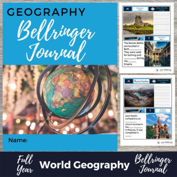
World Geography Bell Ringer Journal & Digital Version Bundle - 375 Bell Ringers
Are you looking for an easy way to save time and build rich discussions? As geography teachers, we don’t have a lot of extra time. These engaging bell ringers help you start class successfully. They are easy to use and easy to grade! These warm-ups align with your Geography Curriculum. For every content unit, your students build connections and have rich discussions about topics. Your students will experience the parts of geography that make a place fun and interesting to learn! Allow your stud
Grades:
3rd - 12th
Types:

Immigration Project - Student Research and Presentation - Push & Pull Factors
The Immigration Project asks U.S. History students (secondary) to research and present on either:the immigration story of one of their family members/ancestors to the United States ORthe immigration story of an ethnic group to the United States.Included in this download:Three pages of detailed Teacher Directions. This is a very simple project, but after implementing it for 22 years straight (Yes, you read that right! Yes, I LOVE this project that much!), I have LOTS of advice to give!Two pages
Grades:
8th - 11th
CCSS:
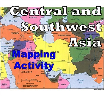
Central and Southwest Asia (Middle East) - Mapping Activity
Map Activity – Central and Southwest AsiaIn this activity, students must locate and identify the countries (and capital cities if so desired) of Central and Southwest (or Middle Eastern) Asia. When students are finished with this, time can be spent coloring in the various countries.Included in this package is a ready-to-copy blackline master map of Central and Southwest Asia along with a separate answer key.This product can also easily be used as a test or quiz.Preview file is available for down
Subjects:
Grades:
4th - 12th, Higher Education, Adult Education
Types:
Also included in: Map Activity Bundle
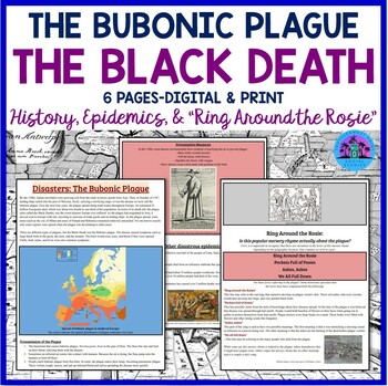
The Bubonic Plague - The Black Death - History, Epidemics, Ring Around the Rosie
The Bubonic Plague... the Black Death... Students always love discussing this topic. Here is a fascinating way to cover the history surrounding this terrible epidemic that struck Europe in the 1500s! ✺Your purchase includes a three page handout that discusses the outbreak of the bubonic plague, other world epidemics, and the possible origins of the nursery rhyme “Ring Around the Rosie.” ➤There is a 25 question worksheet that goes with the handout. There is also a 12 question worksheet that goes
Subjects:
Grades:
7th - 11th
Types:
Also included in: The Geography of Europe ❘ Europe Geography Worksheet Bundle
Showing 1-24 of 3,646 results


