626 results
Geography unit plans $5-10
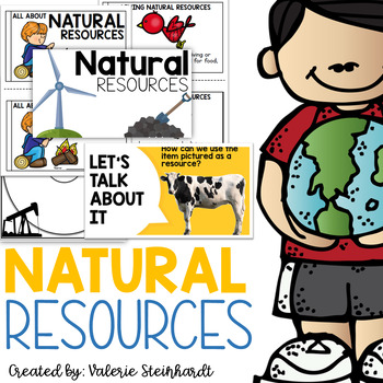
Natural Resources
Complete natural resource unit! Anchor charts with pictures and definitions, thinking maps, folables, interactive notebook pieces, and a mini reader! Included in this set:-Anchor charts and posters-Circle maps-Tree map picture sort-Interactive notebook piece-Man-made or nature made foldable-A mini book for students to create from what they have learned!Updated and added summer of 2022- - 20 slide instructional PowerPoint AND an emergent reader!This unit will make a great addition to your Science
Subjects:
Grades:
K - 3rd
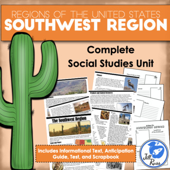
Regions of the United States: Southwest, Complete Unit (5 Regions)
Your students will enjoy reading this complex informational text about the Southwest region, home of the giant saguaro cactus, the Hoover Dam, and the Grand Canyon. This unit includes printable options only. If you would like a digital option using Google Drive, check out my Southwest Region Digital Only for Distance Learning with a Google Slides version of the reading text and questions, and a self-grading Google Forms version of the unit test, or get the bundle with both printable and digital
Subjects:
Grades:
3rd - 6th
Types:
Social Studies End of Year Review Pack
Social Studies End of Year Review: Completely REVISED! This unit is perfect for those last few weeks of school (or to add to your sub file)! It allows your to students to review Social Studies concepts from throughout the school year. This unit will keep your students engaged with hands-on reviews, reading passages, and sorting activities. This unit includes:
- Types of Communities Review
- Types of Communities Sorting Activity
- Then and Now Review Activity
- Jobs in our Community Review Activ
Grades:
1st - 3rd
Types:
Also included in: End of the Year BUNDLE - Science and Social Studies
Countries Unit Bundle, Cultures Around the World
Powerpoint lessons and projects for 5 countries around the world. Study culture and geography with these easy social studies lessons!See a short video of all the projects HERE **For personal and single classroom use only. If using with multiple classrooms, please purchase additional licenses at a reduced rate.**...........................................................................................................................*FREE Reading Skills Poster Set for newsletter subscribers SIGN
Subjects:
Grades:
1st - 4th
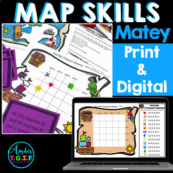
Map Skills Bundle Digital & Print - Grid Maps, Latitude, Longitude, Directions
Map Skills, Latitude and Longitude, Grid Maps, Writing your address, Directions, and more - all of these concepts are covered in this PRINTABLE AND fully DIGITAL Google Slides and Google Forms mini-unit for your Google Classroom. Have a great time with your class (in class or remote) learning about the compass rose, writing their address, latitude and longitude, grid maps, and map making while being a pirate.Here is what is included in the Printable and Digital Pirate Map Skills pack:DIGITALGoog
Grades:
2nd - 4th
Types:
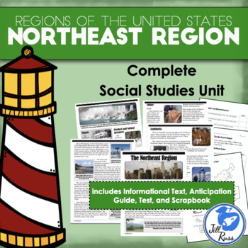
Regions of the United States: Northeast, Complete Unit (5 Regions)
Your students will enjoy reading this complex informational text about the Northeast region, home of the largest city, the smallest state, and our nation's capital. Find out what makes the Northeast an interesting and unique region.This unit includes printable options only. If you would like a digital option using Google Drive, check out my Northeast Region Digital Only for Distance Learning with a Google Slides version of the reading text and questions, and a self-grading Google Forms version o
Subjects:
Grades:
3rd - 6th
Types:
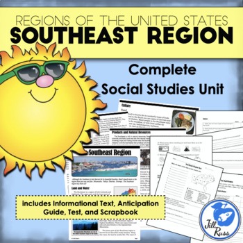
Regions of the United States: Southeast, Complete Unit (5 Regions)
Your students will enjoy reading this complex informational text about the Southeast region. There's more to the Southeast than just sunny beaches! Find out what makes the Southeast an interesting and unique region.This unit includes printable options only. If you would like a digital option using Google Drive, check out my Southeast Region Digital Only for Distance Learning with a Google Slides version of the reading text and questions, and a self-grading Google Forms version of the unit test,
Subjects:
Grades:
3rd - 6th
Types:
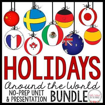
Holidays Around the World / Christmas Around the World BUNDLE
Holidays Around the World / Christmas Around the World BUNDLE - Completely revised with new activities for the new school year! This bundle contains the complete no-prep unit as well as the presentation. This bundle covers the holiday traditions of the following 12 countries:• Australia• Canada• China• France• Germany• Greece• Italy• Japan• Mexico• Spain• Sweden• United StatesActivities included in the complete unit:• Fact cards for each country (color and black and white)• Pictures and instruct
Grades:
2nd - 4th
Types:
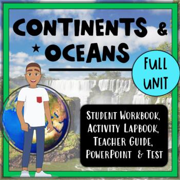
Continents, Oceans, & Map Skills UNIT- Reading Passages, Lapbook, PowerPt, Test!
Teach the seven continents and five oceans with this 3-4 week, no-prep, full unit on the Continents & Oceans with a side of Map Skills! With this unit, you will receive complete lesson plans, a student workbook with informational text and reading comprehension tasks, an accompanying interactive notebook (activity lapbook), a PowerPoint for teacher-guided instruction, and an end-of-unit assessment. The student workbook and PowerPoint presentation are Google 1:1 compatible. Reading and liter
Grades:
3rd - 5th
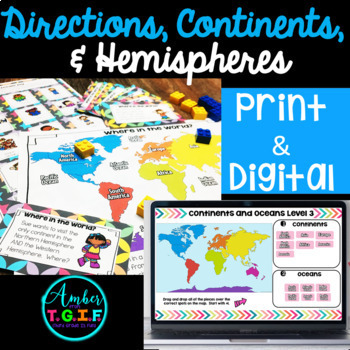
Map Skills | Directions, Continents, Oceans Hemispheres DIGITAL PRINT Bundle
Have a great time learning and practicing map skills with directions, continents, oceans, and hemispheres, and tie it all together with tons of worksheets, a game, practice with 3 match-up centers, review with a crossword puzzle, and complete it with a test. Here is what is included:Activity Sheets (not your typical worksheets) all with answer keys: * 10 pages and 10 answer keys * Some sheets are cut and paste or coloring * Continents and Oceans * Directions * Equator,
Grades:
2nd - 4th
Types:
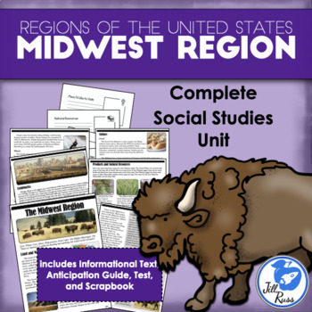
Regions of the United States: Midwest, Complete Unit (5 Regions)
Your students will enjoy reading this complex informational text about the Midwest region. Discover what makes the "Heart of America" a unique place.This unit includes printable options only. If you would like a digital option using Google Drive, check out my Midwest Region Digital Only for Distance Learning with a Google Slides version of the reading text and questions, and a self-grading Google Forms version of the unit test, or get the bundle with both printable and digital options.Each regio
Subjects:
Grades:
3rd - 6th
Types:
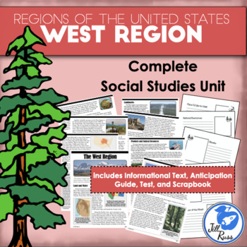
Regions of the United States: West, Complete Unit (5 Regions)
Your students will enjoy reading this complex informational text about the West region, from the cold frozen tundra of Alaska to the sunny beaches of Hawaii and California.This unit includes printable options only. If you would like a digital option using Google Drive, check out my West Region Digital Only for Distance Learning with a Google Slides version of the reading text and questions, and a self-grading Google Forms version of the unit test, or get the bundle with both printable and digita
Subjects:
Grades:
3rd - 6th
Types:
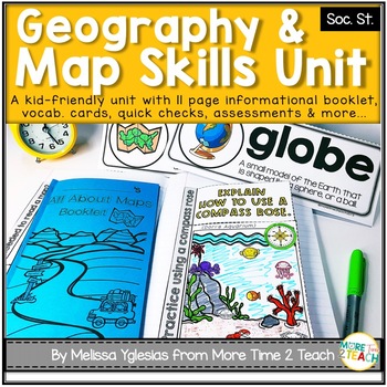
Geography Map Skills Unit: Info Text, Int. Notebook, Assess, Quick Checks + More
Help your students develop proficiency in GEOGRAPHY AND MAP SKILLS.With this unit, they will learn to read a compass rose, key/ legends with symbols, and scales on a map. They will also be able to label the 7 continents and 5 oceans on a map, learn the difference between maps and globes and understand the effect of distortion. By the end of this unit, they will also be able to name and identify the purpose of different maps (physical, political, elevation, and population) just to name a few of t
Grades:
3rd - 5th
2nd Grade Social Studies Curriculum Geography Unit Maps Landforms
A geography unit that includes lesson plans, comprehension, vocabulary words, activities, and even a unit assessment. Unit follows along with the Michigan Citizenship Curriculum for 2nd grade, however, with the community theme it is applicable in almost any place.GOOGLE DRIVE ACCESS LINKS ARE AVAILABLE IN THE PDF DOWNLOAD ON THE GOOGLE DRIVE ACCESS PAGEGoogle Drive accessible files are available in slides/forms via links.Want to see a sample lesson? CLICK HERE FOR A LESSON FREEBIELesson Plan Ti
Subjects:
Grades:
1st - 4th
Types:
Also included in: 2nd Grade Social Studies Communities Curriculum YEAR LONG Bundle Units
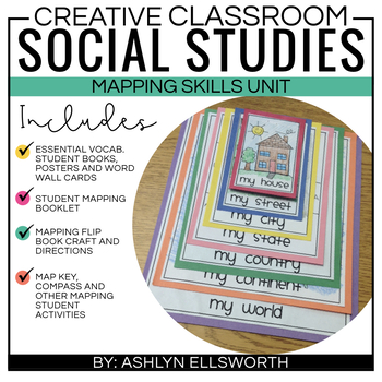
Mapping Skills Unit and Flipbook Craft
This social studies unit helps students understand where they live. It breaks it down to my house, my street, my city, my state, my country, my continent, and my world. This unit includes:Vocabulary booklets, posters and word wall cardsStudent booklets for mapping skillsMy map flip book craftStudent activity pagesConnect with Me!Instagram: https://www.instagram.com/thecreativeclassroom/Facebook: https://www.facebook.com/TheCreativeClassroom/Pinterest: https://www.pinterest.com/ashlyn1214/Twitter
Subjects:
Grades:
K - 3rd
Types:
3rd Grade Social Studies BUNDLE: Map skills and Government
These units include everything you need to successfully teach Map Skills and American Government to your students. Take all the prep work out with these easy to implement units. Each unit includes:Vocabulary CardsInstructional Reading PassagesActivitiesA Unit AssessmentBy buying the bundle you save! Please check out the preview for each unit above to see exactly what is included.
Grades:
2nd - 4th
Types:
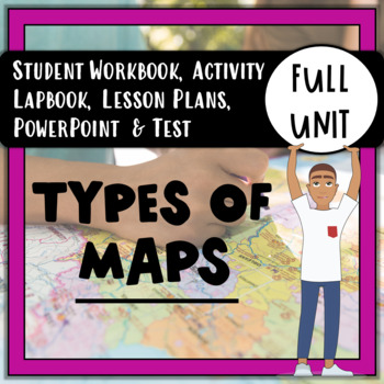
Types of Maps UNIT: Reading Passages, Activities, PowerPoint, & Test!
No-prep, 2-3 week unit on six different types of maps, and more! The map types included are: Political, Physical, Road, Climate, Resource, and Thematic. There is also a 3-page lesson on map reading skills and components, like a Map Title, Map Key, Scale, and Compass Rose. This unit includes complete lesson plans, a student workbook with informational text and reading comprehension tasks, an accompanying interactive notebook (activity lapbook), a PowerPoint for teacher-guided instruction, and
Subjects:
Grades:
3rd - 6th
Also included in: 3rd Grade Social Studies: Full-Year Curriculum BUNDLE. No-Prep!
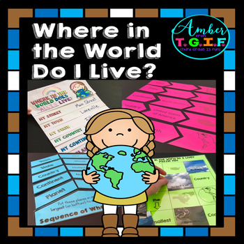
Me on the Map activities | Where Do I Live
I have always used a Me on the Map flipbook to help my students understand the concept of “Where do I live?” I felt they needed more practice to really get a great grasp of the concept of “Where in the world do I live?” so these fun centers were also created. Bonus – The “state” and “town” sections are EDITABLE to type in your own state and town names. Here is what is included:* “Where in the World Do I Live (Me on the Map) flipbook (blank versions and with clipart of planet, continent, count
Grades:
2nd - 4th
Types:
Also included in: Map Skills for 2nd, 3rd, and 4th Grades Bundle | Print and Digital
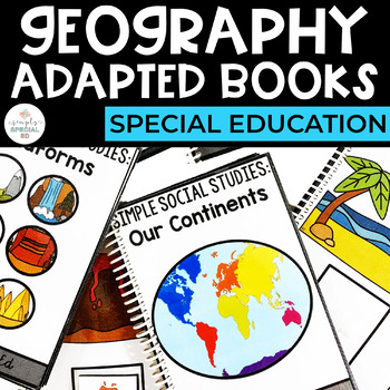
Geography Adapted Books for Special Education
Simple Social Studies: Geography Adapted Books for Special EducationThese Adapted Books are designed to directly teach basic Geography Skills to students in Special Education. Each book can be used to help students practice and generalize these important skills! WHAT TOPICS ARE INCLUDED?Our ContinentsLandformsBiomesMap SymbolsHOW DO YOU USE IT IN THE CLASSROOM? Introduce new topicsIndependent WorkReview Mastered TopicsHOW DO STUDENTS USE THEM? Use the matching pictures for non writersUse matchin
Grades:
PreK - 12th
Types:
Also included in: Geography Curriculum Bundle for Special Education
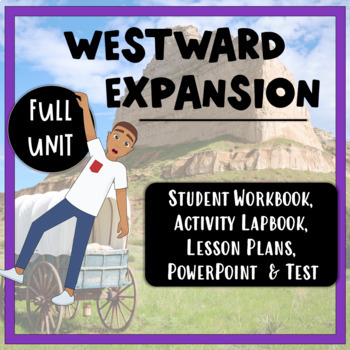
Westward Expansion Full Unit: Reading Passages, Activities, PowerPoint & Test!
Teaching Westward Expansion can be a breeze (and fun!) with this 4-5 week, NO-PREP full unit! With it, you will get complete lesson plans, a student workbook with informational text and reading comprehension tasks, an accompanying interactive notebook (activity lapbook), a PowerPoint for teacher-guided instruction, and an end-of-unit assessment. The student workbook and PowerPoint presentation are Google 1:1 compatible. Reading and literacy skill building activities are built-in to the student
Grades:
4th - 5th
Types:
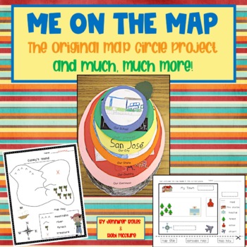
Me on the Map: The Original Map Circle Project and Much, Much More!
Here are the long-awaited templates and step-by-step directions for the Me on the Map Circle Map Project I originally posted on my blog http://finallyinfirst.blogspot.com/2011/02/me-on-map.html. But that is not all! This 40 page map unit includes ideas, projects, and printables to enhance your social studies map unit!The following topics are covered:Cardinal DirectionsMap Features including a graphic organizer and cut and glue activityThe Compass RoseA Map versus Model clay project including a c
Subjects:
Grades:
1st - 2nd
Types:
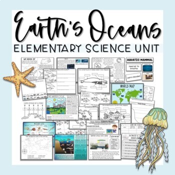
Ocean Unit
Ocean UnitThis comprehensive Ocean Unit includes several weeks worth of interdisciplinary lesson plans, reading passages, projects, research tasks, science experiments, hands-on activities, and worksheets for learning all about earth's oceans and the importance of water!Contents include:Ocean Map PostersMap Labeling ActivitiesOcean Zones Informational Posters - 2 versionsOcean Life PosterOcean Zones Labeling ActivitiesHands-On Ocean Zones Science CenterWater Cycle Informational PosterWater Cycle
Subjects:
Grades:
2nd - 4th
Types:
Also included in: Elementary Science Curriculum - Science Unit Bundle
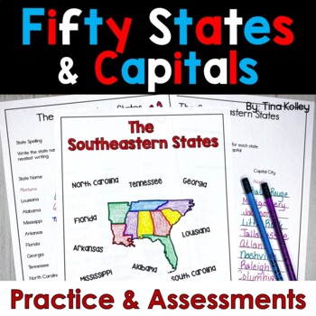
US States and Capitals Unit
Learning the names and capital cities of the 50 United States should be independent, simple, and fun! It is with this US States and Capitals Unit!This 50 States and Capitals resource has over 120 pages of practice guaranteed to help your students master the 50 States and Capitals. But don’t worry! The states are divided into 7 different regions, so students can start small and work toward knowing all 50 States and Capitals. Prep is quick and easy! With clear directions, print out each region, st
Grades:
4th - 5th
Types:
Also included in: US States and Capitals - 50 States and Capitals - Regions of the US Unit
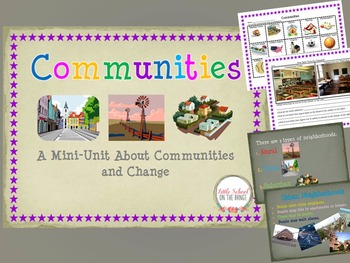
Communities and How They Change Over Time BUNDLE
Communities and How They Change Over Time BUNDLE
This Unit Contains:
• Communities I Belong To
• Types of Communities (Urban, Rural, Suburban)
• Communities Sort (Urban, Rural, Suburban)
• Communities Past and Present (Change)
• Communities Past and Present (Change)
• Technology of the Past and Present Sort
• Schools Past and Present
• Two Pages of Discussion Questions
The sorts and activities are great ways to reach the upper levels of Blooms Taxonomy. Students not only learn about communitie
Subjects:
Grades:
K - 4th
Showing 1-24 of 626 results


