748 results
Geography graphic organizers $5-10
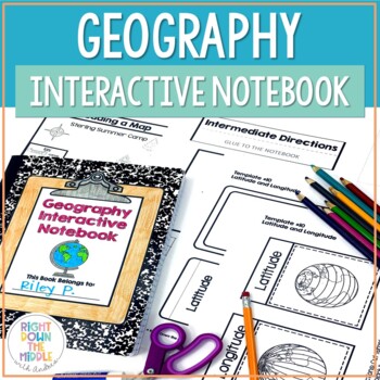
Geography and Map Skills Interactive Notebook | Print and Digital
Teaching geography and map skills doesn't have to be boring! This is a great way to teach geography and map skills. Students remain engaged through the hands-on portion of the interactive notebook. In addition to the hands-on activities, students produce a product that is useful to develop good study habits. This resource includes both the print and digital ready versions all in one. You have access to both in case you find yourself in need of one or the other throughout the school year. Templat
Grades:
3rd - 6th
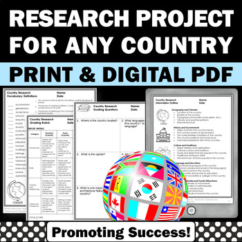
Country Research Projects Study Report Countries Around the World Research
Country Research Projects: This newly revised (July 2023) country study worksheet packet will help your 4th grade, 5th grade, and 6th grade social studies students conduct a country study research project for countries around the world. It not only includes country research graphic organizers and templates and for gathering information and conducting country research, but also guidance and skills for country report writing and giving a presentation. Grading rubrics, answer keys, differentiated a
Subjects:
Grades:
4th - 7th
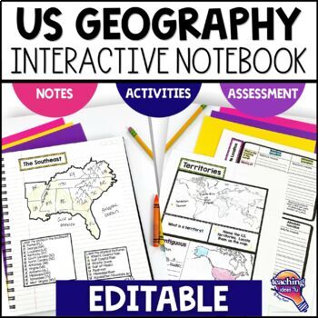
United States Geography & U.S. Regions EDITABLE Interactive Notebook & Test
Support upper elementary students’ reading skills with this U.S. Geography and its Regions Interactive Notebook. This editable unit is a complete study of United States Geography, including interactive activities, maps, vocabulary, graphic organizers, and assessment. Students will explore physical geography, such as mountains and rivers, and the regions of the United States. This interactive notebook includes activities, maps, and organizers on the following topics:United States Map Activity Vo
Grades:
4th - 6th
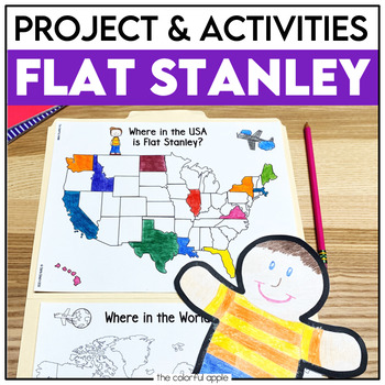
Flat Stanley Project
This Flat Stanley project is an engaging integrated unit for your students! This unit has everything you need to mail your own Flat Stanley projects around the world. Your students will love getting mail (and won't even know they are learning)!This Common Core aligned resource also includes Flat Stanley comprehension questions, vocabulary words and graphic organizers to help students understand the novel.This makes for a great activity for students! Students will create their own Flat Stanley p
Subjects:
Grades:
2nd - 4th
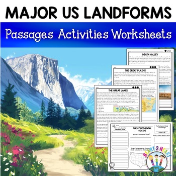
Major US Landforms Yellowstone National Park Yosemite National Park Grand Canyon
Our Major US Landforms unit includes reading passages and activities about the Great Lakes, Yellowstone, Grand Canyon, Arches National Park, Yosemite, Great Plains, Death Valley & more! Reading passages come in 3 levels of difficulty.These geographical features are included:The Great BasinThe Gulf of MexicoThe Great LakesDeath ValleyThe Atlantic Coastal PlainThe Continental DivideThe Great PlainsArches National ParkGrand CanyonYellowstone National ParkYosemite National ParkA Digital Version
Grades:
3rd - 5th
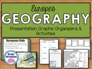
Geography of Europe: Physical Features (SS6G7a)
This file is a resource pack about the major physical features in Europe: the Danube River, Rhine River, English Channel, Mediterranean Sea, European Plain, the Alps, Pyrenees, Ural Mountains, and the Iberian Peninsula (as outlined by the Georgia Standard of Excellence – SS6G7a,b). This lesson includes a presentation with important facts about the features and where they are located, as well as colorful images. There is also a graphic organizer for note-taking during the presentation, a quick ma
Grades:
6th
Also included in: Europe Unit BUNDLE - Geography, History, Government, Economics, Etc.
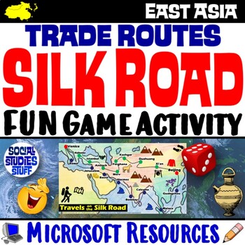
Silk Road Trade Routes FUN Game Activity | Cultural Diffusion and Geography
Play a FUN “Travels on the Silk Road” game that students LOVE! They must identify goods & ideas spread on the trade routes while competing to amass the greatest fortune along the way! Print & interactive, digital versions of the materials are included. Made for traditional in-class learning or digital 1:1 classrooms. Everything you need is included!Includes:Explain Slides: Game DirectionsFill-in Scorecard & ChartGame Task CardsGame BoardAnswer KeyTeacher Reference GuideVocabulary:Sil
Grades:
5th - 12th
CCSS:
Geography Activities Major Landforms and Bodies of Water Reading Passages Unit
This fun unit is perfect for the back to school season to introduce 12 major landforms and reinforce geography skills! It includes 12 major landforms with reading passages, organizers, vocabulary posters, flip book, and a unit test.This activity pack is perfect for introducing and reviewing geography skills through creative hands-on activities. Students will love creating this geography flip book in centers or social studies stations. All the activities in this pack will reinforce and expand the
Grades:
2nd - 5th
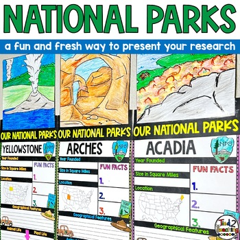
National Parks Research Report Project Informational Report Writing Reports
These National Parks Informational Writing Research Report Template Pennant Banners come with over 60 amazing pennants for displaying your National Park research project on any America's Beautiful National Parks. Perfect for any time of the year, these pennants are a great way to supplement your instruction as well as help your students organize their research!In addition to being excellent informational organizers for your students, these National Park pennant banners are great to use for bull
Subjects:
Grades:
3rd - 6th
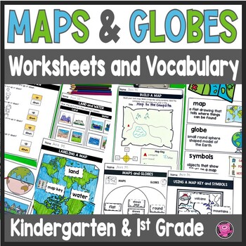
Maps and Globes Worksheets - 1st Grade Map Skills - Kindergarten Mapping Skills
Introduce and teach kindergarten and first grade students all about Maps and Globes, Cardinal Directions, Landforms, and Bodies of Water using this fun and engaging geography unit! These map skills worksheets cover landforms, oceans, relative directions, maps, globes, map keys and symbols, compass rose, Venn Diagrams, 24 geography words, and let your students design their own maps. These maps and globes activities are designed to use with ANY social studies curriculum!Students will practice, cre
Grades:
K - 1st
CCSS:
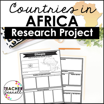
Country Research Project Posters - Africa
The Africa Research Project is the perfect tool for teachers looking for an engaging way to help their students learn about African countries. With this unique project, teachers can allow students to explore an African country of their choice in-depth, gaining a greater understanding and appreciation of its geography, population, government type, current leaders, currency, and much more.The research process has been simplified with comprehensive graphic organizers that provide structure for each
Grades:
3rd - 8th
Ancient China Geography | Learn Geography of China and Evaluate Statements
This Ancient China Geography lesson provides an engaging view into China's geography, environment, and how the environment determined peoples' way of life in Ancient China. Students engage with this resource by completing a guided graphic organizer as they read stations and handouts about several of China's geographic features. Students complete a map to learn about SEVEN geographic features around China's landscape, learn how these features have impacted life, and verify and debunk several (14
Subjects:
Grades:
5th - 8th
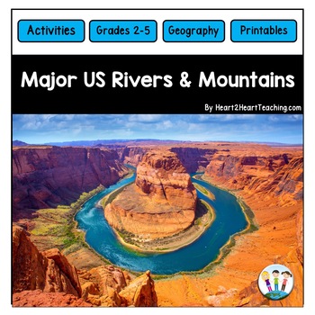
U.S. Major Rivers & Mountains - Major Rivers of the United States Activity Pack
In this comprehensive unit, students will learn about 7 major rivers and 3 major mountain chains that played an incredibly important role in the history of the United States. Students will love the reading passages and activities about these major rivers and mountain chains. What's Inside:Landforms: Rivers and MountainsMississippi RiverMissouri RiverColorado RiverOhio RiverHudson RiverSt. Lawrence RiverRio Grande RiverThe Rocky MountainsThe Appalachian MountainsThe Sierra Nevada MountainsTeacher
Subjects:
Grades:
2nd - 4th
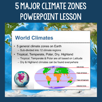
5 Major Climate Zones PowerPoint Slides | Chart and Mapping Activity
This Climate Zones Lesson and Activity includes a full PowerPoint presentation that address the characteristics, general locations, plants, animals, and specific location examples of the 5 major climate zones (polar, temperate, tropical, dry, highland). Students can fill out the included chart as you go over the presentation and a follow-up mapping activity puts their new knowledge of the climate zones to use. A filled out version of the chart, a blank version of the chart, and a blank map are a
Subjects:
Grades:
5th - 12th
Also included in: Geography Skills PowerPoint Lessons Bundle
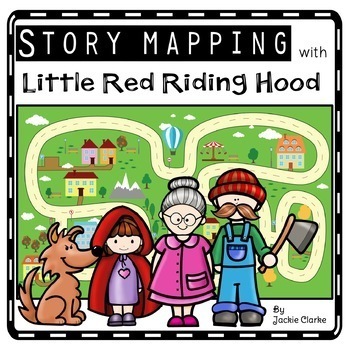
Little Red Riding Hood Retelling Activities, Story Maps, Fairy Tale Sequencing
Kids will love using the Little Red Riding Hood retell printables to create story maps to practice retelling stories, fairy tale sequencing, and map skills that build oral language, vocabulary, and language comprehension skills. This resource was also designed to help you integrate social studies and teaches kindergarten and first grade children about map skills such as using a compass rose and following cardinal directions.✅How Can I Use This Little Red Riding Hood Story Map?As a retelling and
Subjects:
Grades:
PreK - 2nd
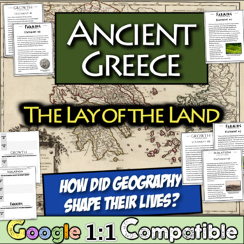
Ancient Greece Geography Gallery Stations | Greek Isolation, Farming, and Growth
In this engaging Ancient Greek Geography resource, students examine NINE statements across three overarching themes that were impacted by the Ancient Greek Geography: isolation, farming, and growth. For each statement, students focus on an overarching question and record relevant details on a graphic organizer matrix that are focused on the central question. Students learn about the impact of the mountainous landscape, their reliance on specialized farming, trade with others, colonies, and much
Subjects:
Grades:
5th - 8th
Types:
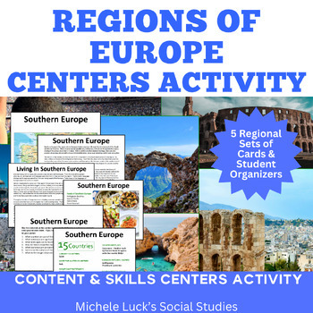
Regions of Europe Centers Activity for European Geography or Culture Study
Introduce your students to the regions of Europe with this easy to prep Centers or Stations Activity. At each regional center, students will read geographic information on the region, view maps and discover physical features and statistics, view data from the region on cultural and human characteristics, and read current articles on the regions of Europe (using internet links provided in teacher directions). Included:Reading Cards on each RegionImage Cards on each RegionMap Cards on each Regi
Subjects:
Grades:
6th - 10th, Higher Education
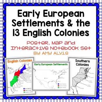
Early European Settlements & 13 English Colonies Poster and INB
This poster, map and interactive notebook INB set covers covers the early American settlements of Santa Fe, St. Augustine, Roanoke Island, Jamestown, Plymouth and Quebec as well as the original 13 colonies.You will get the following:pg. 3: Poster of Early European Settlements (Santa Fe, St. Augustine, Roanoke Island, Jamestown, Plymouth, and Quebec)pg. 4: Map of Early European Settlements where students can map where each settlement was.pg. 5-12: Posters of 13 Coloniespg. 13: Map page for stud
Grades:
5th - 9th
13 Colonies Unit Bundle
Studying Colonial America is made easier with this BUNDLE! Students will use graphic organizers (New England, Middle, and Southern Colonies), while learning about Colonial life. Includes 13 colonies map, informational leveled passages with questions, sorts and informational writing prompts. These can be an assessment or skills practice. As apprentice shipbuilders, a STEAM and STEM challenges them to create a boat that floats. ⭐ This BUNDLE is priced 15% less than if resources were purchased sep
Subjects:
Grades:
3rd - 5th
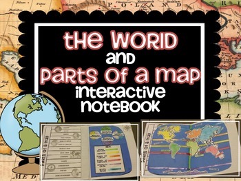
The WORLD and PARTS OF A MAP interactive notebook activities
Learn about the parts of a map while creating an interactive world to illustrate your discoveries.
Map Parts INCLUDED:
longitude
latitude
equator
prime meridian
tropic of cancer
tropic of capricorn
antarctic circle
arctic circle
continents
oceans
compass rose
map key
world hemispheres
Includes 2 different world map interactive notebook options, 2 different world terms activities to choose from and a quiz!
visit my blog at:
www.terrificthird.blogspot.com
Grades:
4th - 8th
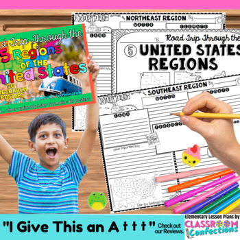
US Regions Research 5 Regions of the United States 4th 5th Grade Activity
Five Regions of the United States: Over 50 research posters. There is a poster for every state, PLUS a different featured landmark pictured on each poster. The regions included in this pack are: Southeast Region, Northeast Region, Midwest Region, Southwest Region, and West. Please make sure that these are the regions you are looking for, as the US can be broken into regions several ways.More specifically, the regions are broken into these states: Southeast Region: Alabama, Arkansas, Florida, Ge
Grades:
4th - 6th
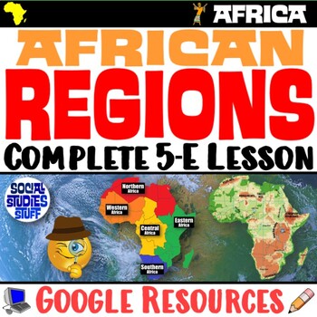
The Five Regions of Africa 5-E Lesson | African Geography and Culture | Google
This lesson examines the five regions of Africa by exploring the continent’s diverse cultures & geography. The activities are engaging for students & the guided, 5-E format is easy for you to use! Fill-in notes accompany the lesson. Begin with a fun “Rank It - Continents” warm-up. Then, a “Divide It” activity challenges your class to examine 4 thematic maps to determine how best to divide Africa into 5 regions. Next, students create labeled maps featuring the 5 regions of Africa. An “Inv
Grades:
6th - 12th
CCSS:
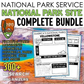
National Parks Research Graphic Organizers Monuments Memorials Historic Sites
These National Park Site research organizers are the perfect tool to help your students organize their research for our AMAZING National Parks, Monuments, Memorials, Historic Sites, or National Historical Park project or report. Research organizers on MORE THAN 300 WONDROUS SITES THAT ARE SERVICED BY OUR NATIONAL PARK SYSTEM will help students organize a variety of information about their park/monument/memorial/historic place including history, plants, animals found in the area, geographical f
Subjects:
Grades:
3rd - 6th
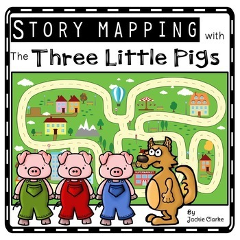
Three Little Pigs Retelling Activities, Story Retell Maps, Fairy Tale Sequencing
Kids will love using The Three Little Pigs retell printables to create story maps to practice retelling stories, fairy tale sequencing, and map skills that build oral language, vocabulary, and language comprehension skills. This resource was also designed to help you integrate social studies and teaches kindergarten and first grade children about map skills such as using a compass rose and following cardinal directions.✅How Can I Use This Three Little Pigs Story Map?As a retelling and sequencin
Subjects:
Grades:
PreK - 2nd
Showing 1-24 of 748 results


