2,644 results
Geography worksheets for Google Apps
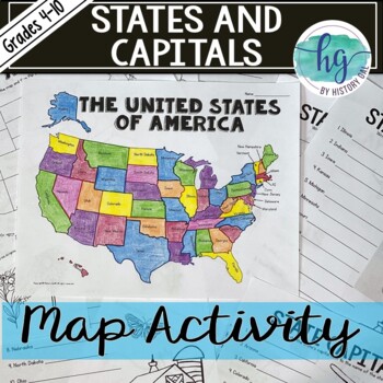
50 States and Capitals Map Activity with printable worksheets & digital map game
Do your students need to know the state capitals and the location of each state on a map? This engaging map set for the 50 states and their capitals will guide your students through labeling a blank map and learning the capitals. Print and digital options plus access to online self-checking map and flashcards let you easily customize the lesson to best fit the needs of your students. Students will label a blank map of the United States with the names of the 50 states and then record the capital
Subjects:
Grades:
4th - 10th
Types:
Also included in: American History Map Activities Bundle for U.S. History Units & Lessons
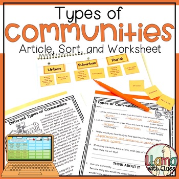
Types of Communities Article, Sort, Worksheet - Urban Suburban Rural Communities
Help your students learn about rural, urban, and suburban communities with this article, sort, and set of comprehension questions. The types of communities article provides all the information needed to complete the sort and comprehension questions. Comprehension questions include "right there" questions and higher-level "think about it questions" questions. Students classify information by sorting information for rural, suburban, and urban communities. This is available both in the printable ve
Grades:
2nd - 3rd
Types:
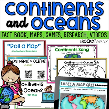
Continents and Oceans Activity | 7 Continents Printables | Ocean and Continents
Are you looking for a fun and engaging continents and oceans activity to teach map skills lessons in 2nd and 3rd grade? With engaging games, songs, maps and more, these 7 continents printables will lead to student mastery in no time! Students can label the 7 continents on a map, learn about the continents and oceans through reading passages, play continents and oceans games, sing songs, complete continent and oceans project ideas, and complete research. INCLUDES BOTH A PRINT AND DIGITAL VERSIO
Subjects:
Grades:
2nd - 4th
Types:
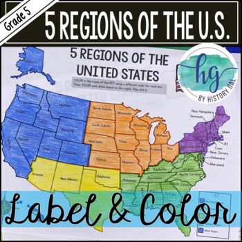
5 Regions of the United States Map Activity (Print and Digital)
Students will label and color a map to help them learn and remember the states in each of the 5 regions of the United States - Northeast, Southeast, Southwest, Midwest, and West. Since state standards vary on the region placement of Delaware and Maryland (some place them in the Northeast while others place them in the Southeast), this download now includes both variations.Version 1 (Delaware and Maryland in the Southeast):Northeast (Connecticut, Maine, Massachusetts, New Hampshire, New Jersey, N
Subjects:
Grades:
5th
Types:
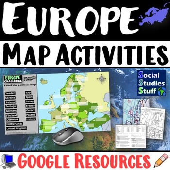
Geography of Europe Map Practice Activities | Print and Digital | Google
End the cycle of bored students copying from books to label maps! Your classes think critically with these digital, interactive, geography activities. First, students answer questions about Europe by analyzing various physical & political maps of the region. Then, a drag & drop challenge assesses their learning of the locations. This resource also includes a printable worksheet that takes labeling maps to the next level! They create a map using only absolute & relative location clues
Subjects:
Grades:
5th - 12th
CCSS:
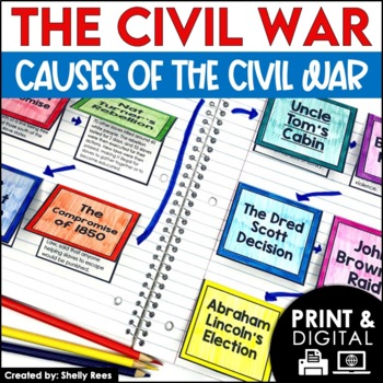
Causes of the Civil War | Civil War Map and Timeline DIGITAL and PRINTABLE
Students are fully engaged in learning about the causes of the Civil War with this interactive packet. The hands-on approach of this resource, including a timeline, foldables, map activity, bulletin board, and more, will help your students learn and understand the cause and effect relationships of events in this period of history!Click the PREVIEW above to see this resource in greater detail!Click here and SAVE 20% by buying ALL 15 Social Studies Interactive Notebooks and Mini Units in one Year
Grades:
5th - 8th
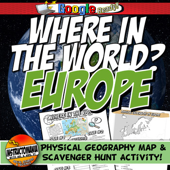
Where in the World Scavenger Hunt & Map Activity Set Physical Geography Europe
This geography activity is completely student-driven, fun, and interactive. It can be done with any textbook map or atlas with European physical geography. First, students create a physical map of Europe, labeling key features. Then, students play the Where in the World Scavenger Hunt printable clue game. Students guess the features by reading four description clues for differing geographical features of Europe. It comes with a key!What's Included:⭐ Physical map activity⭐ Scavenger Hunt Activity
Grades:
4th - 8th
Types:
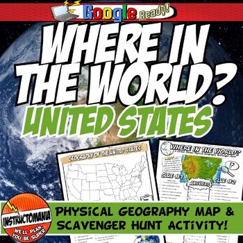
United States Where in the World Scavenger Hunt & US Map Geography Activity
This geography activity is completely student-driven, fun, and interactive. It can be done with any textbook map or atlas with the physical geography of the U.S. If this resource is not available, a map of the U.S. is included. First, students create a physical map of the U.S., labeling key features. A template is included. Then, students play the Where in the World Scavenger Hunt printable clue game. Students guess the features by reading four description clues for differing geographical featur
Grades:
4th - 8th
Types:
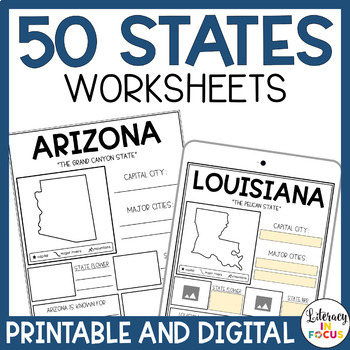
50 States Worksheets | Activities | Printable & Digital | Google Classroom
Printable and Digital 50 States Worksheets! Everything you need for students to research the 50 states is included! Each state worksheet is designed for students to research and complete independently. The extra research pages provide added rigor for those students wanting a challenge. The bibliography template requires students to document their sources when completing their research. Finally, the grading rubric provides students with clear assignment expectations. Printable PDF and Google D
Grades:
3rd - 6th
Types:
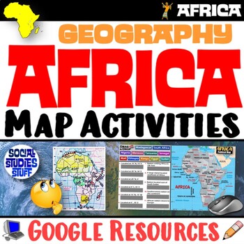
Geography of Africa Map Practice Activities | Print and Digital | Google
End the cycle of bored students copying from books to label maps! Your classes think critically with these digital, interactive, geography activities. First, students answer questions about Africa by analyzing various physical & political maps of the region. Then, a drag & drop challenge assesses their learning of the locations. This resource also includes a printable worksheet that takes labeling maps to the next level! They create a map using only absolute & relative location clues
Subjects:
Grades:
5th - 12th
CCSS:
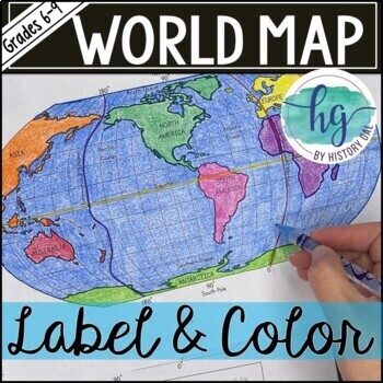
World Map Activity (Print and Digital)
Students will label 17 items on the world map including the continents, oceans, equator, prime meridian, international date line, North Pole and South Pole. Alternatively, students can just color on the coloring page version. What's included with the Printed Versions:*Blank World Map for students to label and color (1 page, uneditable pdf)*World Map Coloring Page (1 page, uneditable pdf)*Map Key (1 page, uneditable pdf)*Animated PowerPoint and Google Slides shows each location and is perfect fo
Subjects:
Grades:
6th - 10th
Types:
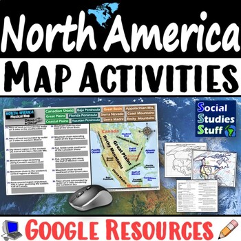
Geography of North America Map Practice Activities | USA Canada Mexico | Google
End the cycle of bored students copying from books to label maps! Your classes think critically with these digital, interactive, geography activities. First, students answer questions about North America by analyzing various physical & political maps of the region. Then, a drag & drop challenge assesses their learning of the locations. This resource also includes a printable worksheet that takes labeling maps to the next level! They create a map of the United States, Canada, and Mexico u
Subjects:
Grades:
5th - 12th
CCSS:
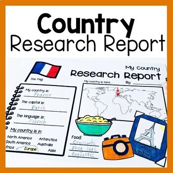
Country Research Report Worksheets and Graphic Organizers Google Slides
Are you looking for engaging activities for writing a country research project? These country research graphic organizer worksheets are perfect for your literacy and social studies lessons about countries. They are ideal for research projects and report writing. They are also great for reading lessons with informational texts.These informational essay graphic organizers are offered as no prep printables, as well as in digital formats (TPT Easel and Google Slides). Here's the thing. You want your
Subjects:
Grades:
1st - 3rd
UPDATED Ontario - Grade 4 & 5 Social Studies - FULL YEAR BUNDLE
FULL YEAR SPLIT GRADE BUNDLE - GRADES 4 & 5! NEWLY UPDATED IN 2022! GOOGLE AND PDF VERSIONS BOTH INCLUDED!FULL YEAR BUNDLE! With over 590 pages included, this product covers all the expectations in the Grades 4 and 5 Social Studies curriculums.Most importantly, we have made cross-curriculum connections to the grades 4 and 5 language programs. Students will practice reading comprehension strategies (making connections, visualizing, inferencing, summarizing and questioning) as they work throu
Grades:
4th - 5th
Types:
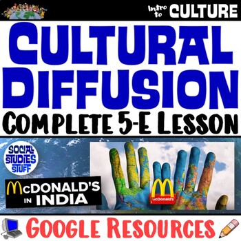
Cultural Diffusion and Globalization 5-E Lesson | McDonalds in India | Google
This student-favorite lesson explores cultural diffusion and its effects on our world. The activities are engaging for students & the guided, 5-E format is easy for you to use! Begin with a fun “Name It” warm-up activity. Explore how culture is shared and adapted globally, then introduce key vocabulary. Fill-in notes accompany the lesson. A photo analysis activity challenges your class to compare McDonalds in India to the United States. Finally, a reading comprehension activity investigates
Grades:
6th - 12th
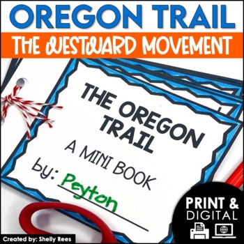
The Oregon Trail Activity and Lesson Pioneer Life Westward Expansion Worksheets
Your students will love learning about the Oregon Trail with this fun interactive packet. The hands-on activities, including a mini book, packing the wagon simulation, map, bulletin board, and more, will help your students learn and understand the history of the Oregon Trail!Click the PREVIEW to see everything included in this resource!Click here and SAVE 20% by buying ALL 15 Social Studies Interactive Notebooks and Mini Units in one Year-Long Bundle.This resource includes both a printable vers
Grades:
3rd - 6th
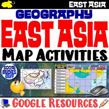
Geography of East Asia Map Practice Activities | Print and Digital | Google
End the cycle of bored students copying from books to label maps! Your classes think critically with these digital, interactive, geography activities. First, students answer questions about East Asia by analyzing various physical & political maps of the region. Then, a drag & drop challenge assesses their learning of the locations. This resource also includes a printable worksheet that takes labeling maps to the next level! They create a map using only absolute & relative location cl
Subjects:
Grades:
5th - 12th
CCSS:
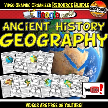
Ancient History Geography- Instructomania Video Worksheet Bundle-Doodle Style
This bundle includes all six graphic organizer sets with a Google-ready graphic organizer option for distance or remote learning! These fun doodle-note-themed graphic organizers are used with a free, engaging Whiteboard Animation Style YouTube video created by Instructomania. The video series covers Egypt, India, Mesopotamia, Greece, Rome, and China. They are located at:What's included in each ancient civilization video series set:✓ A two-page mini-lesson either displayed with teacher direction
Subjects:
Grades:
5th - 8th
Types:
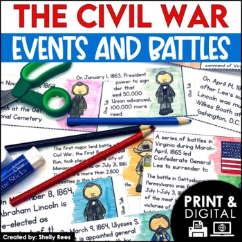
Civil War Battles and Events Project Timeline and Bulletin Board
Your students will be fully engaged in learning about the Civil War battles and events with this interactive packet. The hands-on activities, including foldables, timeline, and bulletin board, of this resource will help your students learn and understand the events of the Civil War.Please click the PREVIEW button above to get a closer look at everything included! Click here and SAVE 20% by buying ALL 15 Social Studies Interactive Notebooks and Mini Units in one Year-Long Bundle.This resource in
Grades:
5th - 8th
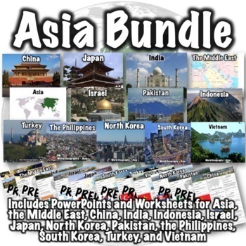
Asia Bundle
This Asia bundle contains PowerPoint/Google Slides presentations and worksheets for the continent of Asia, the Middle East region, and the countries of China, India, Indonesia, Israel, Japan, North Korea, Pakistan, the Philippines, South Korea, Thailand, Turkey, and Vietnam. PDFs, PowerPoints, and links to download versions formatted for Google Apps are included. This bundle also includes two optional 50-question assessments- one focusing on South and Southwest Asia and the other focusing on Eas
Grades:
6th - 8th
CCSS:
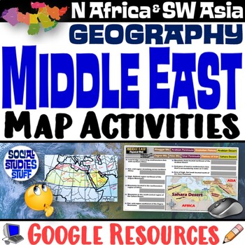
Middle East Map Practice Activities | SW Asia & North Africa Geography | Google
End the cycle of bored students copying from books to label maps! Your classes think critically with these digital, interactive, geography activities. First, students answer questions about the Middle East by analyzing various physical & political maps of the region. Then, a drag & drop challenge assesses their learning of the locations. This resource also includes a printable worksheet that takes labeling maps to the next level! They create a map of Southwest Asia & North Africa usi
Subjects:
Grades:
5th - 12th
CCSS:
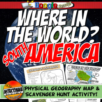
South America Where in the World Scavenger Hunt & Map Geography Fun Worksheet
This geography activity is completely student-driven, fun, and interactive. It can be done with any textbook map or atlas that has the physical geography of South America. A map of South America is included if this resource is not available. First, students create a physical map of South America, labeling key features. A template is included. Then, students play the Where in the World Scavenger Hunt printable and Google Ready clue game. Students guess the features by reading four description clu
Grades:
4th - 8th
Types:
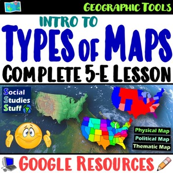
Types of Maps 5-E Lesson and WalkAround | Geography Skills Practice | Google
This engaging 5-E lesson covers parts of a map, types of maps, and reading maps The activities are engaging for students & the guided, 5-E format is easy for you to use! Begin with a fun “Create a Map” warm-up activity to help them visualize the big ideas. Then, introduce vocabulary & practice applying the concepts with a “Name that Map” activity. Fill-in notes accompany the lesson. Next, a “GSI: Geography Scene Investigation” challenges students to identify types of maps, then examine t
Subjects:
Grades:
4th - 8th
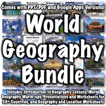
World Geography Bundle
This bundle includes over 100 world geography products. Several products that follow a similar format to products in the bundle are available for free if you want to check them out, including:Introduction to World Geography PresentationIntroduction to World Geography WorksheetUnited States Geography WorksheetEurope Location WorksheetChina Presentation China WorksheetItaly PresentationItaly WorksheetProducts in the bundle include:Introduction to Geography:Introduction to World Geography Presentat
Subjects:
Grades:
5th - 8th
CCSS:
Showing 1-24 of 2,644 results


