11,000+ results
Geography classroom decors by TpT sellers for TpT sellers
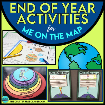
End of the Year Craft Activity Last Week of School Me on the Map Skills Review
Looking for an End of Year Craft Activity to Review Map Skills? Want a Last Week of School Writing Project? This Me on the Map flip book and summer writing pages are perfect for 1st, 2nd, 3rd or 4th grade students!This Maps and Globes activities pack has 8600+ POSITIVE REVIEWS and is the original & most highly-rated Me on the Map Project Activity Bundle on TpT. Teach map skills with crafts, printable worksheets, flip books & a nesting circle craftivity for the book by Joan Sweeney.It wil
Subjects:
Grades:
1st - 5th
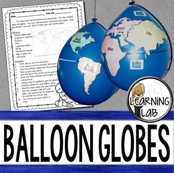
Geography - Balloon Globes - World Maps
World Geography can be boring for students but you can make it FUN! Your kiddos will LOVE creating their own globe using a balloon and cut-outs.This set includes: Student materials list and directions, detailed continent shapes, more broad continent shapes (easier cutting), compass graphic, continent labels, ocean labels, North Pole labels, reference map of the world. Balloon Suggestion (affiliate link): 12"latex balloons (100 count), Royal BlueDon't want to use a balloon? Some teachers hav
Subjects:
Grades:
3rd - 6th
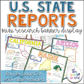
State Report Research and Banner Display Project
If you're looking for an alternative way for your students to research and report on states in the U.S., then look no further. These research banners are not only engaging and educational, they are also visually appealing and provide a great classroom/hallway display.This set includes:● 50 visually appealing state banners● 50 state banners with writing lines (and state flag)● 50 blank state banners for student creativity● Teacher lesson plan page (includes research web sites)● Student recording
Grades:
5th - 8th
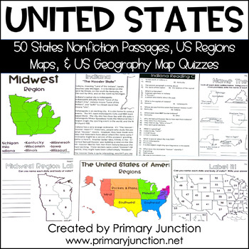
United States 50 States Reading Comprehension Passages Region Geography Map
Are you teaching a unit on United States geography or the 50 states and capitals, or would you like to incorporate some non-fiction informational texts into your instruction? These United States 50 States Reading Comprehension Passages and Region and Geography Maps will help you engage and teach your students interesting and important facts about each of the 50 states and their capitals, as well as assess students’ knowledge of each state’s location on a map. Each of the 50 state reading passag
Subjects:
Grades:
2nd - 5th
Types:
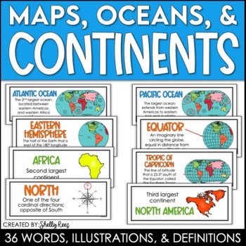
Continents and Oceans Maps and Posters | Geography and Maps Word Wall
Continents and Oceans and Map Skills can be fun to teach, especially when you have this great set of word wall cards. Each card includes the word, definition, and a clear, colorful illustration. Make a great bulletin board in just minutes!Click HERE to save 20% with the Continents, Oceans, and Map Skills BUNDLE!Please click on the PREVIEW above to get a clear picture of everything included.PERFECT for visually reinforcing landform vocabulary!This helpful continents, oceans, and maps word wall se
Grades:
2nd - 8th
Also included in: Maps, Continents and Oceans, Landforms, and Map Skills Bundle
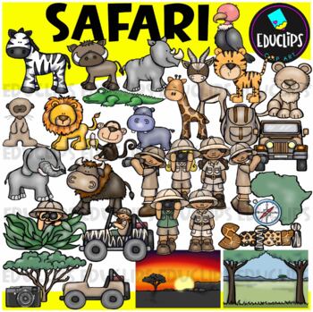
Safari Clip Art Set {Educlips Clipart}
We're on Safari! This set is packed with animals, kids and items you might need for a Safari. Images included are: buffalochimpmeerkatelephantzebrahippogiraffegazellelionlionesshippocrocodilevulturetigersafari kidsjeepscompasscamerabackpacktreemap of Africaevening and day time backgroundThis set contains all of the images shown.64 images (32 in color and 32 in B&W)Images saved at 300dpi in PNG files.For personal or commercial use.Download preview for TOU.This is a zip file. Before purchasing
Subjects:
Grades:
Not Grade Specific
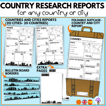
Country research project- city reports country study- English and Spanish
In this bundle you will find resources for your students to learn and discover different places in the world. The suitcase resource will guide your students in the search and organization of information. In addition, they will have a good time decorating the suitcases. In the bundle you will also find elements to decorate a bulletin board to show the work of your students.It includes:1. SUITCASE REPORTS:City reportCountry report/ country studyBlank template (creative writing, final product of a
Subjects:
Grades:
3rd - 5th
CCSS:
Also included in: Travel- Back to school Mega Bundle- Super pack Viajes bilingual
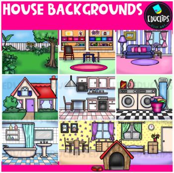
House Backgrounds Clip Art Set {Educlips Clipart}
Get creative with these colorful pictures of rooms in a house. Add people and/or other images to make them come to life! The set includes a living room, dining room, kitchen, bathroom, bedroom, laundry room, front of house, back yard, playroom and a dog house. This set contains all of the images shown.20 images (10 in color and the same 10 in B&W)Images saved at 300dpi in PNG files.For personal or commercial use.Download preview for TOU.©Educlips 2014Follow Educlips on FacebookFollow Educlip
Grades:
Not Grade Specific
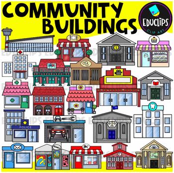
Community Buildings Clip Art Set {Educlips Clipart}
This is a set of buildings commonly found in the community. The buildings included in this set are: airportbakerybankcourthousedentistfirehousefloristgalleryhospitaljaillibrarymovie theatermuseumpharmacy or medical centerpolice stationpost officerepair shoprestaurantsalonschooltheaterThis set contains all of the images shown.42 images. (21 images in color and the same 21 images in B&W.)This set has been completely updated on 6/11/23Images saved at 300dpi in PNG files.For personal or commerci
Subjects:
Grades:
PreK - 6th
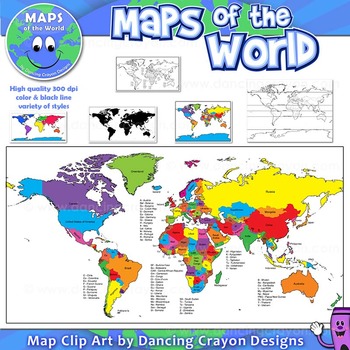
Maps of the World: Clip Art World Maps
Maps of the World: Clip Art World Maps
High quality color and black and white maps of the world.
This clipart map set contains the following commercial use graphics:
- Color maps of the world
- Black and white line art maps of the world
- Maps of the world with lines of latitude and without lines of latitude
- Maps of the world with larger countries labelled (color and black and white)
- Silhouette maps of the world
- A map of the world showing seven continents in color and black and white:
Grades:
3rd - 12th, Higher Education, Adult Education, Staff
Also included in: Maps of the World Clip Art - MEGA-BUNDLE
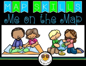
Map Skills - Me on the Map
Map Skills: Me on the map - Hi teachers! Are you beginning to teach your kiddos map skills? Well this unit might be just what you need. There are tons of activities included just take a look below:Vocabulary PostersMaps of the World: Identify ContinentsMaps of the Word: Identify OceansMaps of the World: Identify the Continent you live onDescribe a MapGlobe: Identify Poles, Equator, Continents, OceansDescribe a GlobeCompare and Contrast Globes and MapsSort Maps and GlobesIdentify Neighboring C
Subjects:
Grades:
K - 2nd
Types:
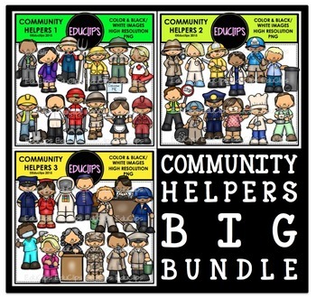
Community Helpers Clip Art Big Bundle {Educlips Clipart}
The sets in this collection were originally published in 2015. They have been consolidated into this one collection for convenience. Please don't purchase this if you already purchased any of the community helper sets.The images in each set are:Community Helpers 1businessman, business woman, farmer, fisherman, ranger, lifeguard, construction worker, waiter, ski guide, tour guide, waitress, oil workerCommunity Helpers 2detective, nurse, firefighter, doctor, mailman, garbage collector, crossing gu
Subjects:
Grades:
PreK - 5th, Staff
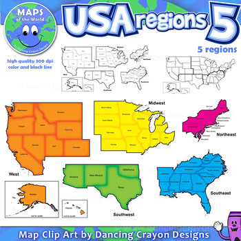
Regions of the USA: Five Regions - Map Clip Art
Regions of the USA: Five Regions - Map Clip Art
.............................................................................................
Please check the regions in this set before purchase. We offer a choice of THREE different US Region Map Sets:
USA divided into FOUR regions / NINE divisions (as set out by the United States Census Bureau)
USA divided into FOUR regions / TEN divisions (as taught in some states)
Please read on for more information about THIS region set:
............
Grades:
3rd - 12th, Staff
Also included in: Maps of the World Clip Art - MEGA-BUNDLE
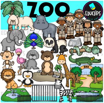
Zoo Clip Art Set {Educlips Clipart}
This is a set of zoo images.This set conatains all of the images shown on the product cover as well as B&W versions.The images in this set are:brown bearflamingopolar bearelephantpeacocksea lionpandasnakemonkeylionzebrapenguingiraffecrocodilerockenclosurescagetreezoo entrancezookeepersrailings58 images (29 in color and the same 29 in B&WThis set has been fully updated. All of the older images are included in this download.This set contains all of the images shown.Images saved at 300dpi i
Subjects:
Grades:
PreK - 6th, Staff
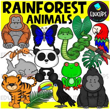
Rainforest Animals Clip Art Set {Educlips Clipart}
This is a set of animals of the rainforest.Images included in this set are:anacondaantgorillabutterflyorangutanpandaparrottoucanpiranhatigerred eyed tree frograinforest leaves32 images (16 in color and the same 16 in B&W)This set has been fully updated.Both the 2014 and 2024 versions have been included in this download.This set contains all of the images shown on the product cover image plus black and white versions of all of the images you can see. No other images are included. Images saved
Subjects:
Grades:
PreK - 2nd
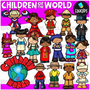
Children Of The World Clip Art Set {Educlips Clipart}
A collection of Children from different parts of the world: Africa, Brazil, Canada, USA, Germany, China, Holland, France, India, Italy, Japan, UK, Russia, Spain, Mexico and a 'Children Of The World' sign.These cartoon-like children are dressed in clothes that have some connection to their countries. This set has been designed for younger elementary children to give a brief, fun and colorful representation of each country.This is just a general set of images of children around the world. New imag
Grades:
PreK - 2nd, Staff
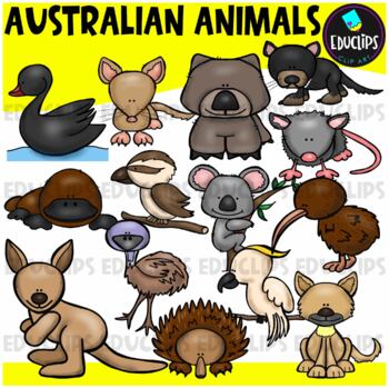
Australian Animals Clip Art Set {Educlips Clipart}
This set contains all of the images shown: animals found in Australia - bandicoot, black swan, cockatoo, dingo, echidna, emu, kangaroo, kiwi, koala, kookaburra, platypus, possum, tasmanian devil, wombat.14 images in color and the same 14 images in B&W.Images saved at 300dpi in PNG files.For personal or commercial use.CLICK HERE for TERMS OF USEThis is a zip file. Before purchasing, please check that you are able to open zip files and ensure that your zip opening software is updated.©Educlips
Subjects:
Grades:
PreK - 6th, Staff
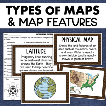
Types of Maps Map Features Skills Geography Posters Social Studies Assessment
Students will learn about different types of maps and common map features with this social studies resource. It includes 17 visuals/posters plus a worksheet/assessment.MAPS POSTERSThese can be kept together as a single page or cut apart into separate cards for display or a matching activity. The top of each card has the title and definition, and the bottom has a full-color illustration. WORKSHEETThis activity requires students to match the types of maps to their purpose, know the function of var
Subjects:
Grades:
3rd - 6th
Types:
Also included in: Geography Landforms & Bodies of Water Types of Maps Map Elements Posters
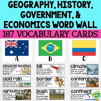
Social Studies Word Wall Vocabulary Cards, Bulletin Board Idea
This product is a word wall to help teach important social studies vocabulary words to students. It can also be used as a social studies bulletin board!The specific regions included are Europe, Australia, Latin America and the Caribbean, and Canada. However, the domains include geography, government, economy, and history, so this resource can be used in most social studies classrooms. Also, many terms are not specific to these regions and can be applied broadly.Each word card includes the vocabu
Grades:
3rd - 11th
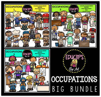
Occupations Clip Art Big Bundle {Educlips Clipart}
This is a collection of 3 sets of the jobs people do and community workers.The images in each set are:OCCUPATIONS1architect, artist, bus driver, butcher, carpenter, coach, computer technician, baker, electrician, fishmonger, actor, delivery worker.OCCUPATIONS2librarian, reporter, gardener, paramedic, photographer, painter, mayor, window washer, surgeon, pharmacist, principal, pizza delivery worker.OCCUPATIONS3author, designer, priest, florist, president, secretary, optometrist, film director, di
Subjects:
Grades:
PreK - 5th, Staff
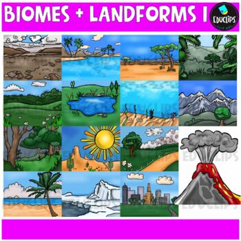
Biomes And Landforms Backgrounds 1 Clip Art Set {Educlips Clipart}
This is a collection of biomes and landform images.Scenes include: Arctic, beach, city, countryside, desert, forest, mountains, ocean, pond, prairie, rainforest, savanna, tropics, tundra, and volcano.CLICK HERE FOR BIOMES AND LANDFORMS 230 images (15 in color and the same 15 in B&W)Images saved at 300dpi in PNG files.For personal or commercial use.CLICK HERE for TERMS OF USEThis is a zip file. Before purchasing, please check that you are able to open zip files and ensure that your zip openin
Subjects:
Grades:
PreK - 6th, Staff
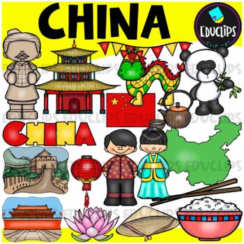
China Clip Art Set {Educlips Clipart}
This is a collection of China images.The images included in this set are: flag, map, boy, girl,panda, house, lantern, hat, lotus flower, rice, chopsticks, green tea, Great Wall, terracotta soldier, Chinese dragon, Tiananmen Square and word art sign.34 images (17 in color and the same 17 in B&W)This set contains all of the images shown.Images saved at 300dpi in PNG files.For personal or commercial use.Download preview for TOU.This is a zip file. Before purchasing, please check that you are ab
Grades:
PreK - 6th, Staff
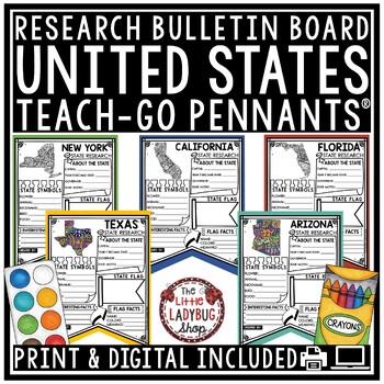
US United States and Capitals Report Research End of Year Project Bulletin Board
You will love these Creative Doodle United States Research Teach-Go Pennants™ that are perfect to start your research with and display on your bulletin boards. CLICK HERE TO CHECK OUT OVER 200 TEACH-GO PENNANTS™INCLUDED:Print & digital options included, see page 3 & 4 for digital info.All pages in BW options (see preview)Clickable Table of Contents These are research templates- actual research is not included.Grading Rubric includedBlank Pennant included if students want to draw their ow
Grades:
3rd - 5th
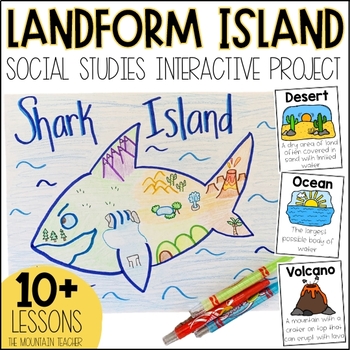
Landforms Project - Landform Island and Landforms and Body of Water Research
Engage your students in learning about landforms and bodies of water by having them apply their knowledge of these landforms and bodies of water to create a project... LANDFORM ISLAND! This creative social studies project is a hands-on geography activity perfect for your learners.What is the Landforms Project:Students will work alone or in groups to research 24 different landforms and bodies of water, draft a plan for their landform island, write all about their landform island and publish a pos
Subjects:
Grades:
1st - 3rd
Types:
Showing 1-24 of 11,000+ results


