25,683 results
Geography microsofts under $5
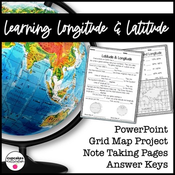
Latitude & Longitude Worksheet for Latitude & Longitude Practice with PowerPoint
This interactive Social Studies lesson engages your students in note-taking of important concepts and lets them use their creativity to show what they have learned!▁▁▁▁▁▁▁▁▁▁▁▁▁▁▁▁▁▁▁▁▁▁▁▁▁▁▁▁▁▁▁▁▁▁▁▁▁▁WHAT IS INCLUDED IN THIS RESOURCE?⇨ 10-page PowerPoint Presentation: Show a vibrant Powerpoint to your students to introduce concepts like longitude, latitude, grid map, coordinates, Prime Meridian, International Dateline, and Equator. ⇨ Accompanying Worksheets: As you engage them in this powerp
Grades:
2nd - 5th
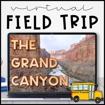
Virtual Field Trip to the Grand Canyon for Geology Science
Virtual Field Trip to the Grand Canyon!Not able to take any trips this fall? Go there virtually! Engaging, no matter the format of instruction, your students will be hooked! Use them as a preview to any science unit OR have the class work towards the reward of 'Field Trip Friday'! NO PREP WORK FOR YOU! Trip is designed for grade K - 5, I included multiple options for certain slides, easy to differentiate, just delete any slides that don't fit your grade level!W H A T ' S I N C L U D E D ?⭐️ Teac
Subjects:
Grades:
K - 5th
Types:
NGSS:
4-ESS1-1
, 3-ESS2-1
, 2-ESS1-1
, 4-ESS2-1
Also included in: THE COMPLETE COLLECTION! Every product in my TPT store - growing bundle!
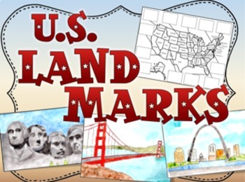
United States US Landmarks Lesson and Activity
U.S. Landmarks, Use this fun 15-slide Power Point and cut and paste activity to expose your students to 12 United States landmarks. The slides feature hand painted artwork and information about each landmark. After viewing, students cut out pictures of the landmarks and glue them in the correct places on the map. Print out the first two slides for the map activity.Landmarks:Mt RushmoreThe Grand CanyonThe Space NeedleNiagara FallsThe Statue of LibertyThe Lincoln MemorialCape CanaveralDenaliThe
Grades:
1st - 4th
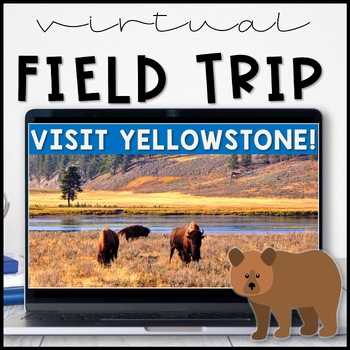
Virtual Field Trip Yellowstone National Park in the Spring
Virtual Field Trip to Yellowstone! Visit America's first national park!NO PREP! Just 'share your screen' and present the slides & videos. ☺Trip is designed for grade K - 5, easy to differentiate based on how many videos you play.GREAT FOR: socially distanced learning, science and social studies supplemental lesson, NO PREP sub plans or as a Fun Friday/Field Trip Friday classroom reward to work towards!!W H A T ' S I N C L U D E D ?⭐️ Teacher directions⭐️ PowerPoint & Google Slides includ
Subjects:
Grades:
K - 5th
Types:
NGSS:
4-LS1-1
, 3-LS4-3
, 2-LS4-1
, 1-LS3-1
Also included in: THE COMPLETE COLLECTION! Every product in my TPT store - growing bundle!
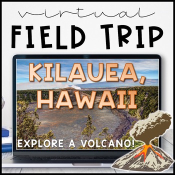
Volcano Virtual Field Trip Kilauea, Hawaii for Landforms
Visit one of the most active volcanoes in the world on the Big Island of Hawai'i! Pairs great with a landform, volcano or earth and space sciences unit.Perfect for socially distanced learning or online meetings!NO PREP! Just 'share your screen' and present the slides. ☺Trip is aimed at a 3rd grade level but works well for K - 5. I included multiple closing activity suggestions, pick one that is an appropriate level for your grade! Or, edit the text and add your own.W H A T ' S I N C L U D E D ?⭐
Subjects:
Grades:
1st - 5th
Also included in: THE COMPLETE COLLECTION! Every product in my TPT store - growing bundle!
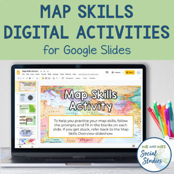
Map Skills Digital Activity and Overview Slideshow | Map Skills Middle School
If you are looking for map skills activities that you can use digitally, you are in the right place! This resource includes both a Map Skills Slideshow with information about different components of maps and a no-prep Map Skills Activity for Google Slides. All of the information is presented in an organized, colorful, and easy-to-understand way for your students.This Map Skills Google Classroom resource includes the following:Teacher Guide (PDF)Map Skills Overview Slideshow (Google Slideshow wit
Grades:
5th - 8th
Landforms | Social Studies Lesson | PowerPoint & Google Slides
Your students will love this engaging mini-lesson all about Landforms, and you'll love that it's no-prep and ready to teach. Each lesson slide is meant to be projected on your whiteboard to guide short and sweet discussions about important social studies topics. Use these slides as a stand-alone lesson, or as a supplement to your existing social studies curriculumLesson Formats Included:⭐ PDF ⭐ Powerpoint ⭐ Google SlidesInside this Product is...24 no-prep slides that include:Video ClipsDiscussio
Subjects:
Grades:
1st - 4th
Also included in: Social Studies Lessons | PowerPoint & Google Slides | BUNDLE
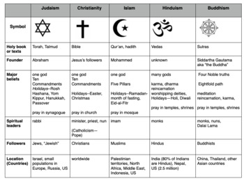
Compare World Religions Chart --Judaism, Christianity, Islam, Hinduism, Buddhism
This is a chart I use with my students to compare five major world religions-- Judaism, Christianity, Islam, Hinduism and Buddhism. It is meant to have the students learn the basics and be able to know the major aspects of all the religions. I included a blank copy and a completed version. In my social studies textbooks, there is quite a bit of info about each of these religions. This can also be done this as a group jigsaw activity. Feel free to edit it to suits your needs. Let me know if
Subjects:
Grades:
5th - 10th
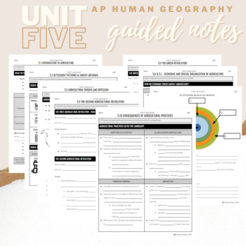
Unit 5: Student Guided Notes - AP Human Geography
Notes pages for CED topics 5.1-5.10 for Unit Five. *NOTE: THIS IS MISSING TOPICS 5.11 and 5.12*Use the guided notes to scaffold your Human Geography lectures or use the notes with my accompanying lecture slideshows! You can find slideshow lectures that correlate directly with EACH CED Topic for AP Human Geography Unit 5 here.Students can use as a study guide, you can assign for homework, or use with a self-guided lecture! You can assign this to be completed digitally for distance learning or pri
Grades:
9th - 12th
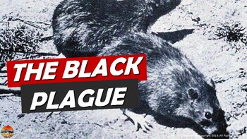
Bubonic Plague The Black Death PowerPoint Slides Outline Notes & YouTube Videos
This was recently re-mastered to be AWESOME! This PowerPoint has some fantastic visuals of the black death/bubonic plague. It also shows the spread of the disease throughout Medieval/Feudal Europe with a great map. There are several key questions that encourage discussion. This PowerPoint is sure to grab your student's attention!The last slide has 2 YouTube links from the History Channel, including a fun song that my class thought was hilarious.We also have an Oh Rats! Black Death storyboard pos
Grades:
5th - 9th
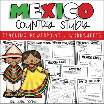
All About Mexico - Country Study
Your students will love learning all about Mexico with this fun country study! Included is a Powerpoint slideshow (.pptx) to teach your class all about Mexico, the capital city, flag, food, language, famous landmarks, the Day of the Dead and the Mayan Civilization! Student activity worksheets are also included based on the facts in the Powerpoint (all differentiated on two levels to support the different abilities in your class), plus a Mexico word search, postcard activity and favorite facts ac
Subjects:
Grades:
1st - 3rd
Also included in: Country Study Bundle
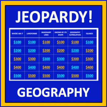
Geography Jeopardy - an interactive social studies game
Geography Jeopardy is an interactive game in which students answer geography trivia questions. This resource reflects the popular TV game show, but adaptations have been made so it can be played in the classroom. The categories are:Where Am I?LandformsImaginary LinesKnown by Its ShapeGeography SuperlativesIslandsParts of a MapCountries Starting with "I"Colorful PlacesWater! Water! Water!ContinentsFamous LandmarksWhere in the World?*SIGN UP AS A FOLLOWER OF “OFF THE PAGE” AND GET NOTIFICATIONS OF
Grades:
5th - 8th
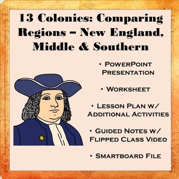
13 Colonies: Comparing Regions - New England, Middle, & Southern Colonies
13 Colonies: Comparing the Regions – New England, Middle & Southern ColoniesThis lesson teaches how the three regions of the 13 Colonies differed from one another: New England, the Middle Colonies, and the Southern Colonies. Students will learn how the climate and geography of the three colonial regions impacted the economic as well as the social lives of colonists in the three regions of the 13 Colonies. Students will learn how the New England colonists had to look to different types of rev
Subjects:
Grades:
5th - 11th
Also included in: Early US History Bundle: 1492 - Civil War
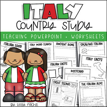
All About Italy - Country Study
Your students will love learning all about Italy with this fun country study! Included is an all about Italy Powerpoint presentation (.pptx) to teach your class all about Italy, the capital city, flag, food, language, famous landmarks, Ancient Rome and the Italian Alps! Student activity worksheets are also included based on the facts in the Powerpoint (all differentiated on two levels to support the different abilities in your class), plus an Italy word search, postcard activity and favorite fac
Subjects:
Grades:
1st - 3rd
Also included in: Country Study Bundle
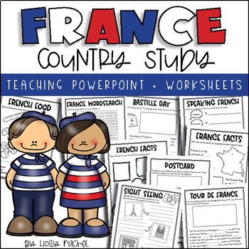
All About France - Country Study
Your students will love learning all about France with this fun country study! Included is an all about France Powerpoint presentation (.pptx) to teach your class all about France, the capital city, flag, food, language, famous landmarks, Bastille Day and the Tour de France! Student activity worksheets are also included based on the facts in the Powerpoint (all differentiated on two levels to support the different abilities in your class), plus a France word search, postcard activity and favorit
Subjects:
Grades:
1st - 3rd
Also included in: Country Study Bundle
Ancient India Geography + Monsoons Lesson Guided Notes and PowerPoint Activity
In this Ancient India Geography notes and PowerPoint lesson activity, students learn about the geography, climate, and monsoons of modern and ancient India. First, students complete a two-page guided note worksheet with the included 18-slide PowerPoint presentation. A map activity is also included in the guided notes for students to locate and identify locations as the notes are completed. Next, students complete a close-reading assignment about a ship-wrecked sailor that shows the ancient Ind
Grades:
5th - 8th
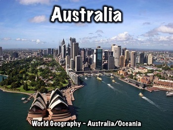
Australia Geography and History PowerPoint
This 30 slide Australia presentation provides an overview of its history, geography, government, economy, and culture. This presentation can be used with a worksheet that can be found here: Australia Worksheet, but it can be used separately as well. The presentation includes:Geography/overview: 8 slidesFlag: 1 slideHistory: 6 slidesGovernment: 4 slidesEconomy: 2 slidesCulture: 4 slidesMiscellaneous info: 4 slidesThis presentation can also be used with the free "Introduction to World Geography" p
Grades:
5th - 8th
Types:
CCSS:
Also included in: Oceania Bundle
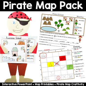
Map Pack: Pirate Theme- Perfect for Talk Like a Pirate Day
Ahoy Mateys! Ye students will shout "Shiver Me Timbers" as they're learning all about basic map skills with this piratey map pack that includes an interactive PowerPoint lesson, practice sheets, and an awesome make your own map craftivity, pirate style!This 33 page packet includes the following:Interactive and fun PowerPoint lesson that introduces the parts of a map- title, map key, symbols, and compass rose, and how to read a map with a grid. A Make Your Own Compass for each student. Two Basic
Grades:
K - 2nd
Also included in: Talk Like a Pirate Day Activities Bundle
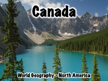
Canada Powerpoint - Geography, History, Government, Culture, Economy, and More
This Canada presentation (in PowerPoint and Google Slides) has 43 slides and provides an overview of its history, geography, government, economy, and culture. The presentation includes: Overview/Geography: 11 slidesFlag: 2 slidesHistory: 12 slidesGovernment: 6 slidesEconomy: 3 slidesCulture: 5 slidesInteresting Info: 3 slidesAn worksheet that can be used with the presentation can be found here: Canada Worksheet.You may also like:Canada Geography WorksheetCanada Geography JeopardyCanada Location
Grades:
5th - 8th
Types:
CCSS:
Also included in: North America Bundle
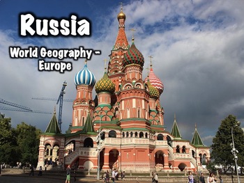
Russia PowerPoint - Geography, History, Government, Culture, and More
This 37 slide Russia PowerPoint presentation provides an overview of Russia's history, geography, government, economy, and culture. Includes:Overview/Geography - 9 slidesFlag - 1 slideHistory/Notable Leaders - 14 slidesGovernment - 3 slidesEconomy - 2 slidesCulture - 3 slidesMiscellaneous - 4 slides This presentation can be used with an optional worksheet that can be found here: Russia Worksheet.Another worksheet that focuses on Russia's geography can be found here: Russia Geography Worksheet.A
Grades:
5th - 8th
Types:
CCSS:
Also included in: Europe Bundle Two
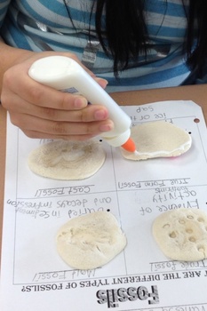
Types of Fossils Activity
Different types of fossils. True form, cast, mold, and trace fossils. Students will replicate each type of fossil and glue it to the handout.
Subjects:
Grades:
1st - 10th
Types:
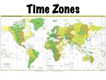
Time Zones
Time zones presentation: this is a lesson on time zones that I use with my students. Includes a simple 10 question worksheet on time zones in the United States and an optional, somewhat more challenging worksheet on world time zones, where students have to determine what time it is at locations around the world given the current time. Included in the presentation are:Definitions of time zones, the prime meridian, the international date line, and daylight savings timeThe history of time zonesHow
Subjects:
Grades:
4th - 7th
Also included in: Geography Introduction Bundle
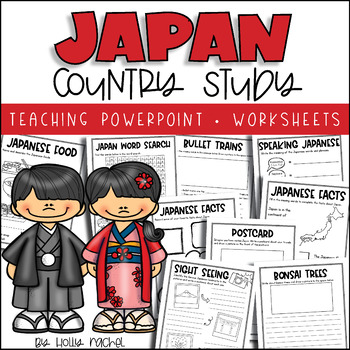
All About Japan - Country Study
Your students will love learning all about Japan with this fun country study! Included is an all about Japan Powerpoint presentation (.pptx) to teach your class all about Japan, the capital city, flag, food, language, famous landmarks, bullet trains and bonsai trees! Student activity worksheets are also included based on the facts in the Powerpoint (all differentiated on two levels to support the different abilities in your class), plus a Japan word search, postcard activity and favorite facts a
Subjects:
Grades:
1st - 3rd
Also included in: Country Study Bundle
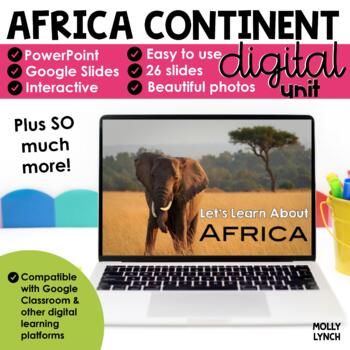
Africa Continents Study through PowerPoint/Google Slides
Learn about Africa! Take a journey around Africa without ever leaving your classroom with these stunning PowerPoint and Google Slides presentations.This PowerPoint/Google Slides presentation uses real photographs to give your students a peek into the amazing wonders of Africa!The Africa Continent Study includes maps, geographical information, animals, weather, cities, and important places to see! The final 3 slides quiz your students' knowledge! Looking for hands-on activities for your Continen
Grades:
K - 2nd
Also included in: Continents Bundle - A PowerPoint/Google Trip to the 7 Continents
Showing 1-24 of 25,683 results


