8,094 results
8th grade geography resources for Google Apps
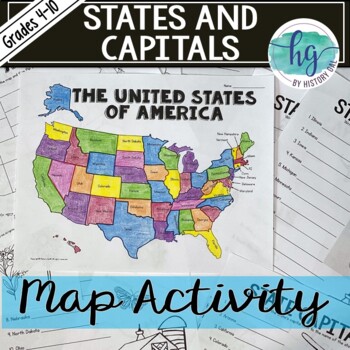
50 States and Capitals Map Activity with printable worksheets & digital map game
Do your students need to know the state capitals and the location of each state on a map? This engaging map set for the 50 states and their capitals will guide your students through labeling a blank map and learning the capitals. Print and digital options plus access to online self-checking map and flashcards let you easily customize the lesson to best fit the needs of your students. Students will label a blank map of the United States with the names of the 50 states and then record the capital
Subjects:
Grades:
4th - 10th
Types:
Also included in: American History Map Activities Bundle for U.S. History Units & Lessons
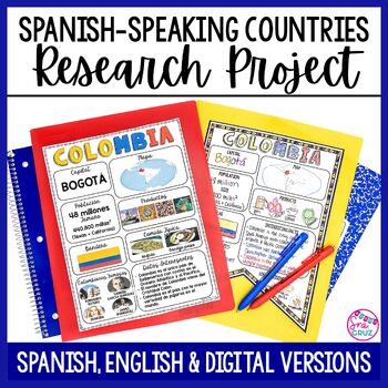
Spanish Speaking Countries Project Research a Country with Google Slides Digital
This Spanish-Speaking country project is an organized and efficient way for students to research Spanish-speaking countries. The templates are in both English and Spanish and can be completed digitally or handwritten. Includes digital templates for PowerPoint and Google Slides.*can easily be adapted for other languages, geography, or social studies classesThis project to create an infographic for a country includes:-Templates in 3 different designs-English templates-Spanish templates-Completed
Subjects:
Grades:
6th - 12th
Types:
5 Themes of Geography Stations Activity | Five Themes of Geography Lesson
In this Five Themes of Geography stations and student activity, students analyze the five themes of geography (location, place, human-environment interaction, movement, and region) to understand how geographers study the world!This best-selling geography resource is included in the massive All Things Geography Bundle, as well as the American or the World History PLUS Curriculum!This lesson begins with students doing an introductory reading and activity on the five themes of geography. Then, stu
Grades:
5th - 9th
Types:
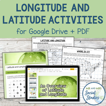
Latitude and Longitude Fun Activities and Practice Worksheet | Google Slideshow
If you are looking for a creative and no-prep resource to teach about latitude and longitude, look no further! This printable and digital activity includes an editable Google Slideshow to teach your students about latitude and longitude, and three different practice activities, giving your students the chance to decode secret messages, figure out mystery locations on a world map, and determine the coordinates of various US states.This resource goes beyond traditional longitude and latitude works
Grades:
5th - 8th
Types:
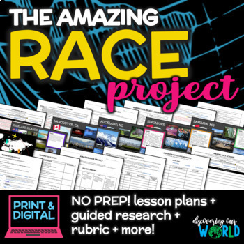
Geography Adventure: Amazing Race Project for Middle School (End-of-Year)
**Embark on an Exciting Journey Around the World with "The Amazing Race Geography Project"!** Are you ready for the ultimate adventure? Step into the shoes of a globe-trotting explorer and dive into the rich tapestry of our planet's geography, culture, and diversity! In this engaging end-of-the-year project, students will embark on a thrilling journey to explore fascinating locations from every corner of the globe. **Research, Discover, Create!** Students will choose captivating locations on
Grades:
5th - 9th
Also included in: Middle School World Cultures & Geography Course
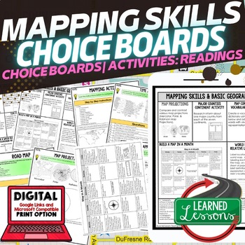
Geography Mapping Skills Activities, Geography Choice Board, Reading Passages
Mapping Skills and Basic Geography Choice Boards, Mapping Skills Readings Google Classroom, Print & Digital Learning provides differentiated activities to use with students to master the content. THIS IS ALSO PART OF SEVERAL BUNDLES World Geography MEGA BUNDLE AND World Geography Choice Board Activity BUNDLE AND Mapping Skills BUNDLE Choice Board Activities and Mapping Skills Readings Including the following: Mapping ActivityCartographerMap ScaleTypes of MapsTime ZonesRoad MapsLand and Wate
Grades:
7th - 12th
Types:
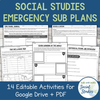
Emergency Sub Plans for Social Studies (Google Drive + PDF)
This set of Emergency Sub Plans for Social Studies contains 14 editable activities for both Google Drive and PDF...making them perfect for any unexpected absences, distance learning, or whenever you need a last-minute lesson idea and don't have time to create something from scratch! Each of the 14 activities even contains an editable note for the sub with the directions typed out and ready to go!These 14 activities can work for ANY Social Studies subject! Here is a list of exactly what is includ
Grades:
6th - 9th
Types:
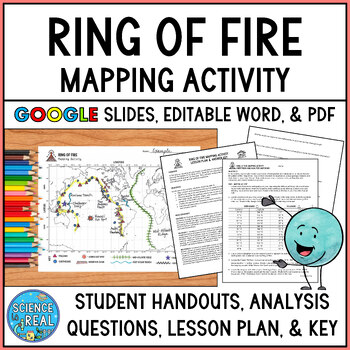
Ring of Fire Mapping Activity and Questions - Earthquakes and Volcanoes
⭐ ⭐ ⭐ ⭐ In this fun and engaging ring of fire mapping activity, students plot the coordinates of past earthquakes and volcanoes along the ring of fire using an easy to read Pacific-centered world map. Students will then draw other geologic features on their maps such as trenches, mountain ranges, hot spots, and mid-ocean ridge. After the map is complete, students will answer 25 analysis questions. Editable MS Word version, PDF version, and Google Slides version are all included!I complete this w
Subjects:
Grades:
8th - 12th
Types:
NGSS:
MS-ESS2-3
, HS-ESS2-1
, MS-ESS2-2
, HS-ESS1-5
Also included in: Plate Tectonics Growing Discount Bundle
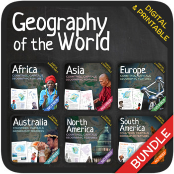
Geography of the World (Bundle)
Let’s learn about the Countries, Capitals and Geographic Features of the World! The World’s countries, capitals, geographic features, and attractions are addressed in these units with a wide variety of fun activities such as puzzles, crosswords, word searches, gap-fills and many others. GOOGLE SLIDES WITH PREMADE TEXTBOXES INCLUDED! The units also include additional map quizzes of different levels, maps, answer sheets and answer keys. BONUS: EXTRA REFLECTION MATERIALS THAT COVER ALL UNITS! You
Subjects:
Grades:
6th - 11th
Types:
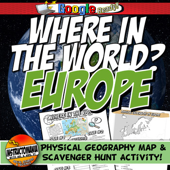
Where in the World Scavenger Hunt & Map Activity Set Physical Geography Europe
This geography activity is completely student-driven, fun, and interactive. It can be done with any textbook map or atlas with European physical geography. First, students create a physical map of Europe, labeling key features. Then, students play the Where in the World Scavenger Hunt printable clue game. Students guess the features by reading four description clues for differing geographical features of Europe. It comes with a key!What's Included:⭐ Physical map activity⭐ Scavenger Hunt Activity
Grades:
4th - 8th
Types:
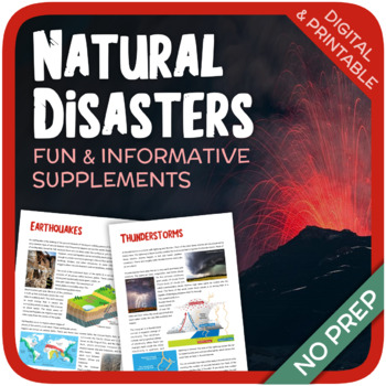
Natural Disasters
Let's learn about Natural Disasters! This worksheet includes 34 pages with a large variety of activities and exercises about natural disasters. Crosswords, word searches, puzzles and other kinds of activities are included to make it a fun and interesting class. The answers and an answer sheet are included. GOOGLE SLIDES AND FILLABLE PDF VERSIONS INCLUDED!Overview: Page 1-2: Introduction Page 3-4: EarthquakesPage 5-7: HurricanesPage 8-9: FloodsPage 10-11: Volcanic EruptionsPage 12-13: TsunamisPag
Subjects:
Grades:
5th - 12th
Types:
Also included in: Geography Bundle (Nature, Oceans, Ecosystems, and Natural Disasters)
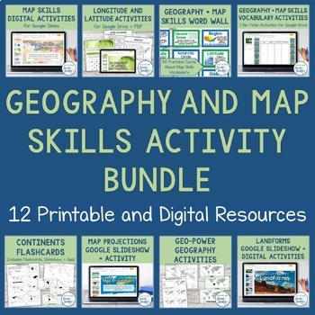
Geography + Map Skills Bundle | Maps, Continents and Oceans, Latitude Longitude
This epic bundle includes 12 different essential geography resources to help your students develop map skills and a sense of geographic awareness! The printable and digital resources in this bundle cover topics like latitude and longitude, continents, oceans, countries, map key, map projections, map distortion, landforms, and a lot more!Save over 30% by purchasing this bundle!The 12 resources included in this bundle include:Map Skills Digital Activity + Overview SlideshowLatitude and Longitude A
Grades:
5th - 8th
13 Colonies Regions New England, Middle, & Southern Colony Regions
In this 13 Colonies and Colony Regions activity, students compare the New England, Middle and Southern Colony Regions. Students read the included student-friendly article (either in a group, individually, or as a class), then fill in the details on the included graphic organizer. This serves as a great intro to the 13 Colonies, or as a great way to learn the varying characteristics of the New England, Middle, or Southern colony regions.This resource includes a paper in-class version and a 1:1
Grades:
5th - 8th
Types:
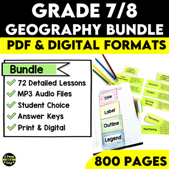
Grade 7 and 8 Geography Bundle Ontario Curriculum
This comprehensive Grade 7/8 Geography Bundle is meticulously designed to empower teachers and captivate students with 72 in-depth and engaging lessons. This bundle is specifically tailored to help educators nurture a deep understanding of essential concepts in both physical and human geography.Through this bundle, your students will embark on a journey exploring various geographical physical patterns, including landforms, water systems, vegetation regions, climate regions, and the challenges po
Subjects:
Grades:
7th - 8th
Types:
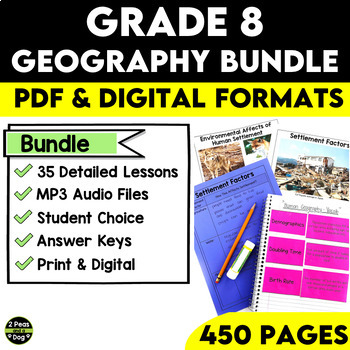
Grade 8 Geography Bundle Ontario Curriculum
This comprehensive Grade 8 Geography Bundle covers both Strand A and Strand B of Grade 8 Geography for the Ontario Curriculum. With 35 in-depth lessons at your fingertips, you can now guide your students on an exciting journey to explore and understand global settlement patterns, their environmental impact, economic development, and how quality of life is impacted by many factors. With this Grade 8 Geography Bundle, you can inspire your students to become global citizens with a deeper understand
Subjects:
Grades:
8th
Types:
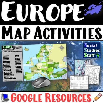
Geography of Europe Map Practice Activities | Print and Digital | Google
End the cycle of bored students copying from books to label maps! Your classes think critically with these digital, interactive, geography activities. First, students answer questions about Europe by analyzing various physical & political maps of the region. Then, a drag & drop challenge assesses their learning of the locations. This resource also includes a printable worksheet that takes labeling maps to the next level! They create a map using only absolute & relative location clues
Subjects:
Grades:
5th - 12th
CCSS:
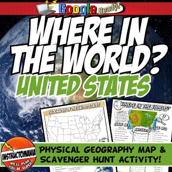
United States Where in the World Scavenger Hunt & US Map Geography Activity
This geography activity is completely student-driven, fun, and interactive. It can be done with any textbook map or atlas with the physical geography of the U.S. If this resource is not available, a map of the U.S. is included. First, students create a physical map of the U.S., labeling key features. A template is included. Then, students play the Where in the World Scavenger Hunt printable clue game. Students guess the features by reading four description clues for differing geographical featur
Grades:
4th - 8th
Types:
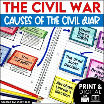
Causes of the Civil War | Civil War Map and Timeline DIGITAL and PRINTABLE
Students are fully engaged in learning about the causes of the Civil War with this interactive packet. The hands-on approach of this resource, including a timeline, foldables, map activity, bulletin board, and more, will help your students learn and understand the cause and effect relationships of events in this period of history!Click the PREVIEW above to see this resource in greater detail!Click here and SAVE 20% by buying ALL 15 Social Studies Interactive Notebooks and Mini Units in one Year
Grades:
5th - 8th
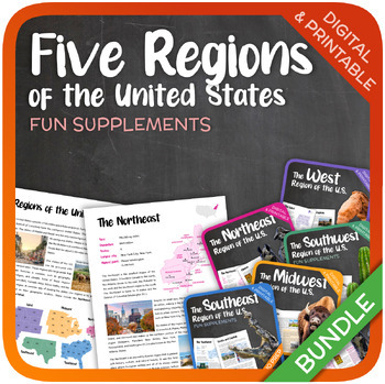
The Five Regions of the United States (Bundle)
Let’s learn about the Five Regions of the United States! This bundle includes 114 pages with a wide variety of activities and exercises about the Five Regions of the United States. Word searches, crosswords, puzzles and other kinds of activities are included to make it a fun and interesting class. Additional reflection activities are included that cover all the five regions. GOOGLE SLIDES WITH PREMADE TEXTBOXES INCLUDED! The following units are included: The NortheastThe MidwestThe SoutheastThe
Grades:
5th - 9th
Types:
Fun End of Year Activity - Travel Project - Plan a Trip!
This is the perfect project to do this year - especially before a break or just for fun! In this project, students will apply personal finance skills to plan a 3-day trip for themselves and a few friends. They must create a budget and plan three days' worth of food and activities. It is a whole lot of fun and they can have so much ownership and creativity. It works great to display Math, ELA, and Social Studies skills. They will have to research customs, and locations and add, multiply, and divi
Subjects:
Grades:
4th - 10th
Types:
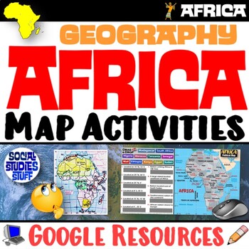
Geography of Africa Map Practice Activities | Print and Digital | Google
End the cycle of bored students copying from books to label maps! Your classes think critically with these digital, interactive, geography activities. First, students answer questions about Africa by analyzing various physical & political maps of the region. Then, a drag & drop challenge assesses their learning of the locations. This resource also includes a printable worksheet that takes labeling maps to the next level! They create a map using only absolute & relative location clues
Subjects:
Grades:
5th - 12th
CCSS:
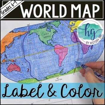
World Map Activity (Print and Digital)
Students will label 17 items on the world map including the continents, oceans, equator, prime meridian, international date line, North Pole and South Pole. Alternatively, students can just color on the coloring page version. What's included with the Printed Versions:*Blank World Map for students to label and color (1 page, uneditable pdf)*World Map Coloring Page (1 page, uneditable pdf)*Map Key (1 page, uneditable pdf)*Animated PowerPoint and Google Slides shows each location and is perfect fo
Subjects:
Grades:
6th - 10th
Types:
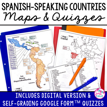
Spanish Speaking Countries and Capitals Maps and Quizzes Worksheet + DIGITAL
Spanish-Speaking Countries Maps and Quizzes - Included are blank maps of the Spanish-speaking countries for students to fill in, completed maps, a map quiz, and a matching capitals quiz. NEW: Now includes Google Slides™ version of the map for students to fill in digitally and self-checking Google Forms™ quizzes for the map and capitals quizzes.*Please see the thumbnails & preview for more details*Includes:✅ Blank Maps-One page map without Equatorial Guinea-Two page map with Equatorial Guinea
Subjects:
Grades:
6th - 12th
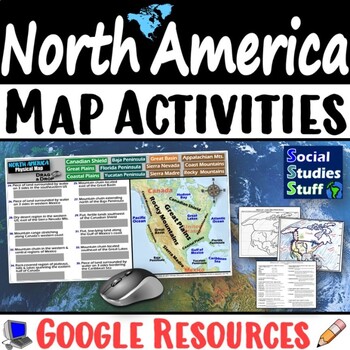
Geography of North America Map Practice Activities | USA Canada Mexico | Google
End the cycle of bored students copying from books to label maps! Your classes think critically with these digital, interactive, geography activities. First, students answer questions about North America by analyzing various physical & political maps of the region. Then, a drag & drop challenge assesses their learning of the locations. This resource also includes a printable worksheet that takes labeling maps to the next level! They create a map of the United States, Canada, and Mexico u
Subjects:
Grades:
5th - 12th
CCSS:
Showing 1-24 of 8,094 results


