306 results
Geography graphic organizers for Microsoft PowerPoint
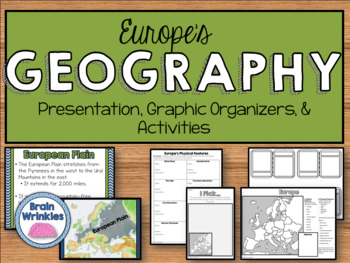
Geography of Europe: Physical Features (SS6G7a)
This file is a resource pack about the major physical features in Europe: the Danube River, Rhine River, English Channel, Mediterranean Sea, European Plain, the Alps, Pyrenees, Ural Mountains, and the Iberian Peninsula (as outlined by the Georgia Standard of Excellence – SS6G7a,b). This lesson includes a presentation with important facts about the features and where they are located, as well as colorful images. There is also a graphic organizer for note-taking during the presentation, a quick ma
Grades:
6th
Also included in: Europe Unit BUNDLE - Geography, History, Government, Economics, Etc.
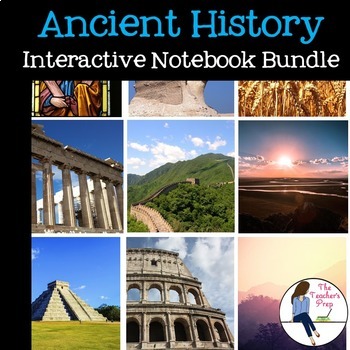
Ancient History Interactive Notebook Mega Bundle
This bundle includes all the Ancient History Interactive Notebooks currently available in The Teacher's Prep store!
ANSWER KEYS are included in each notebook!
**An editable vocabulary page has been added to this resource. It's in a PowerPoint file. Simply add in your own vocabulary words, print, and go!**
The bundle includes a wide variety of interactive notebook graphic organizers for each civilization in the bundle. This allows teachers to customize the activities for their own classrooms
Subjects:
Grades:
5th - 8th
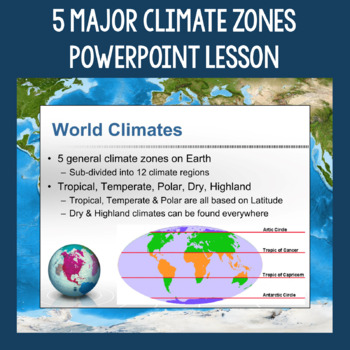
5 Major Climate Zones PowerPoint Slides | Chart and Mapping Activity
This Climate Zones Lesson and Activity includes a full PowerPoint presentation that address the characteristics, general locations, plants, animals, and specific location examples of the 5 major climate zones (polar, temperate, tropical, dry, highland). Students can fill out the included chart as you go over the presentation and a follow-up mapping activity puts their new knowledge of the climate zones to use. A filled out version of the chart, a blank version of the chart, and a blank map are a
Subjects:
Grades:
5th - 12th
Also included in: Geography Skills PowerPoint Lessons Bundle
Analyzing and Comparing Different Types of Maps
Different Types of Maps The main goal of this lesson is for students to identify, analyze, and make connections between different types of mapsAlthough not necessary, having computers or Ipads available for students will allow them better view each map in full color. If this is not possible, the maps can still be projected onto a screen. A Powerpoint with each map is provided for this17 Slide PowerPoint comes with:Do NowInformational ChartClass NotesAssessment QuestionsActivity InstructionsConc
Grades:
5th - 10th
Also included in: Geography Unit Bundle
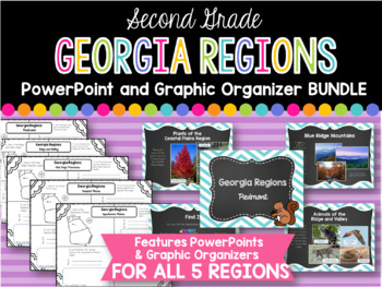
2nd Grade Georgia Regions BUNDLE
This is a bundle of all five of my Georgia Regions PowerPoints and Graphic Organizers.
The set is perfect for teaching all five of the Georgia regions covered in second grade! Students will locate each region on a map, list plants and animals found in the region, and two interesting facts. Each of these categories are covered in the corresponding PowerPoints.
Regions covered:
Appalachian Plateau
Ridge and Valley
Blue Ridge Mountains
Piedmont
Coastal Plains
*I always greatly appreciate your
Subjects:
Grades:
1st - 3rd
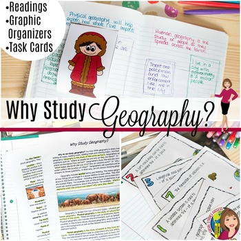
Why Study Geography? Activity on the 5 Themes of Geography
Geography is important! But do your kids think so? This is a great lesson to start off the year as you examine the topic “Why Study Geography?” This lesson begins by getting students out of their seat with a 4 Corner Debate. Your students will then take notes on pop-up expert as they study geography. The lesson concludes with task cards and a spectrum, where they have to defend their thinking. When you purchase this lesson, you will receive:-A detailed lesson plan-A reading on “Why Study Geograp
Grades:
6th - 9th
Also included in: GEOGRAPHY ACTIVITIES BUNDLE
![Preview of Discovering the 7 Continents [MEGA] Bundle Unit!](https://ecdn.teacherspayteachers.com/thumbitem/7-Continents-MEGA-Unit--2366611-1635084318/original-2366611-1.jpg)
Discovering the 7 Continents [MEGA] Bundle Unit!
*Discovering the 7 Continents* {North America, South America, Europe, Asia, Africa, Australia and Antarctica!}***SAVE OVER 20% OFF BY PURCHASING THE BUNDLE***This comprehensive continents mega unit on the 7 continents provides students with multiple opportunities to demonstrate their knowledge of each of the continents. It provides all the materials students will need for a systematic, organized method to produce an interactive pocket book on the continents. Students will thrive on the predicta
Subjects:
Grades:
1st - 2nd
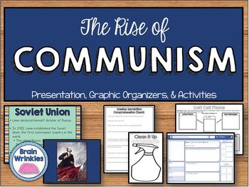
The Rise of Communism (SS6H3)
This file is a resource pack about the rise of Communism (as outlined by the Georgia Standard of Excellence – SS6H3). This lesson includes a presentation with important information relating to the rise of Communism (Russian Revolution), as well as colorful images. There are also many useful graphic organizers and creative activities included in this file! You can choose to do them all, or pick the ones that best meet your students’ needs.
File Contents:
~Standards poster – slide 2
~Rise of Comm
Grades:
6th
Also included in: Europe Unit BUNDLE - Geography, History, Government, Economics, Etc.
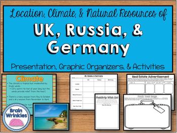
Location, Climate, & Natural Resources of UK, Russia, and Germany
This file is a resource pack about the location, climate, and natural resources of United Kingdom, Russia, and Germany (as outlined by the Georgia Standard of Excellence – SS6G9). This lesson includes a presentation with important information about where people live and how they trade within each country, and it also contains many colorful images. There are also many useful graphic organizers and creative activities included in this 61-page file! File Contents:~Standards poster – slide 2~United
Grades:
6th
Also included in: Europe Unit BUNDLE - Geography, History, Government, Economics, Etc.
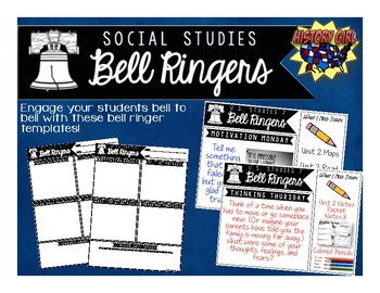
Bell Ringers for Social Studies
Engage your students bell to bell with these bell ringer templates specifically designed for your secondary social studies classroom!
Why use bell ringers?
• They provide a consistent routine as students
enter the classroom.
• They engage students in content from bell to bell.
• They allow students think time and opportunities to apply
new vocabulary and social studies skills.
• Non-Academic questions help build relationships and allow
students to share goals and their personal strengths.
• Allo
Grades:
5th - 12th
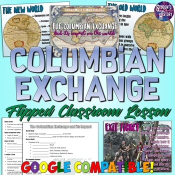
Columbian Exchange and its Impact Flipped Classroom Lesson
This fantastic Columbian Exchange resource includes a PowerPoint, Google Slides, guided notes worksheet, and flipped classroom video and is perfect for your Age of Exploration Unit! The lesson covers all of the following aspects of the Columbian ExchangeCause and Effect of the Columbian ExchangeThe New World vs the Old WorldEuropean colonizationThe impact on diets, economics, culture, and indigenous groupsPeninsulares, Mestizos, and the class systemThe Triangle of TradeThe Middle Passage and Tra
Subjects:
Grades:
7th - 10th
Also included in: World History PowerPoint Bundle Part 2: Classical Asia - Enlightenment
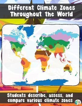
Climate Zones Throughout the World
Different Climate Zones Throughout the WorldThe main goal of this lesson is for students to describe, assess, and compare the characteristics of different climates zones throughout the worldThis lesson is a more detailed version of another climate zone lesson in my store. This lesson will go through 10 Climate types. If you want a simplified version that goes through 4/5 different climate zones – CLICK HERE!Want a webquest similar to this lesson? Click Here!You get a 21 slide PowerPoint with:A
Grades:
5th - 10th
Also included in: Geography Unit Bundle
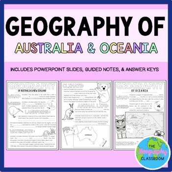
Geography of Australia & Oceania Guided Notes
This set includes resources to teach about the geography of Australia, New Zealand, and the rest of Oceania. Topics included are location, climate, waterways, landforms, and much more. This set includes:- 4 page guided notes handout - Teacher answer key- 19 page editable PowerPoint slides for teachers to use to teach the geography of Australia, New Zealand, and the rest of Oceania to students as they fill out their guided notes.***If you enjoy this product, please leave a review & you can ea
Grades:
6th - 10th
Also included in: Australia & Oceania BUNDLE
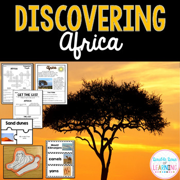
Continents: Africa Research Unit with PowerPoint
Your students will love the variety of this fun, interactive and engaging unit on Africa. The Africa unit is a comprehensive week long unit that integrates technology, vocabulary, writing, art, reading strategies and more! Students will respond to informational text by answering questions in a student booklet in a variety of formats. Students will learn vocabulary words by creating a picture vocabulary flip book. The vocabulary words are embedded throughout the unit to promote ample opportunitie
Grades:
1st - 2nd
Also included in: Discovering the 7 Continents [MEGA] Bundle Unit!
Geography Unit Bundle
In this Geography Bundle you get 16 different lessons, activities, and resourcesAll resources have been update for distance learning! Students can complete and submit activities on any device using the fillable pdf files!The lessons/resources included are as follows:World Geography - Icebreaker WorksheetIntroduction to GeographyThe Different Branches of GeographyLatitude and LongitudeLongitude and Latitude Riddles US Latitude and Longitude WorksheetsWorld Landmarks - Latitude and Longitude How
Grades:
5th - 10th
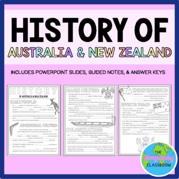
History of Australia & New Zealand Guided Notes (Aboriginal & Maori)
This set includes resources to teach about the history of Australia and New Zealand. It covers the early history of the countries, Aboriginal culture, Maori culture, British colonization, independence, and the effects that colonization has had on the native people today. This set includes:- 3 page guided notes handout- Teacher answer key- 14 page editable PowerPoint slides for teachers to use to teach the history of Australia and New Zealand to students as they fill out their guided notes.***If
Subjects:
Grades:
6th - 11th
Also included in: Australia & Oceania BUNDLE
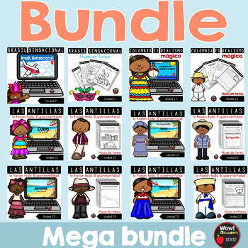
Los países de segundo grado | Bundle
⭐️ Los países de segundo grado | Bundle(Presentaciones en PowerPoint, hojas de tareas, flip books y pruebas)Este paquete recoge todo la información requerida en las siete unidades.⭐️ ⭐️ ⭐️ Puedes ahorrar más de un 20% si compras el bundle.Este recurso incluye:•La información importante sobre los siguientes países:2.1 Brasil, sensacional2.2 Colombia es realismo mágico2.3 Las Antillas lo tienen todo. ¡Experiméntalas!Cuba, Haití, Jamaica, República Dominicana y Puerto Rico2.4 Las sorpresas de Panam
Subjects:
Grades:
2nd
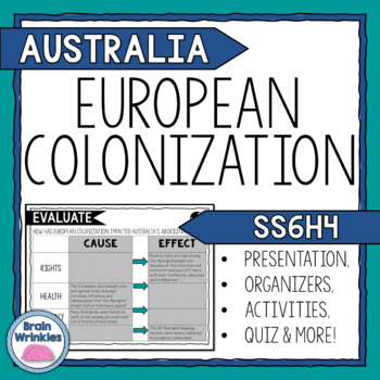
The History of Australia (SS6H4)
Your students will love learning about the impact of European colonization on Australia's Aboriginal People with this interactive digital resource. This lesson includes a presentation with important facts and images related to the impact of English colonization on current Aboriginal basic rights, health, literacy, and languag. There are also several printables, activities, and graphic organizers included in the file. The handouts and foldables are perfect for your students' Social Studies Intera
Subjects:
Grades:
6th
Also included in: Australia Unit BUNDLE
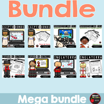
Los países de tercer grado | Bundle
⭐️ Los países de tercer grado | Bundle(Presentaciones en PowerPoint, hojas de tareas, flip books y pruebas)Este paquete recoge todo la información requerida en las siete unidades.⭐️ ⭐️ ⭐️ Puedes ahorrar más de un 20% si compras el bundle.Este recurso incluye:•La información importante sobre los siguientes países:3.1 Egipto, donde todo comienza3.2 Madagascar: una isla auténtica; un mundo aparte3.3 España al detalle3.4 Inglaterra, hogar de momentos increíbles3.5 China como nunca antes3.6 India inc
Subjects:
Grades:
3rd
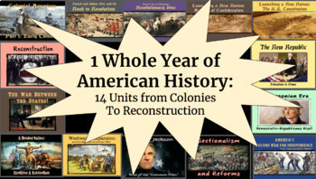
1 WHOLE YEAR of American History: Colonies to Reconstruction
Important: Please see the preview for an inventory of all products within the bundle, as well as which unit they belong to. With 100+ products within this bundle, this is the best way to keep organized!This bundle features a whole year's worth of PPT slideshows, notes packets, graphic organizers, maps, assignments, primary sources, activities, tests, etc. combined into an entire year-long package (in preparation for end-of-year testing). These include:Beginning of the Year U.S. Geography Project
Grades:
7th - 10th
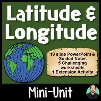
Latitude and Longitude - Engaging PowerPoint, Challenging Activities!
Latitude and Longitude - Engaging PowerPoint, Challenging Activities!This download contains one 19-slide PowerPoint file and three PDF files which are all geared towards keeping your students engaged, while also teaching your students how to use latitude and longitude. Includes:19-slide PowerPoint includes vocabulary words, an "I can" statement, memory tricks for recalling information later, brief history on the Prime Meridian, International Date Line, and the Equator, guided practice, and group
Subjects:
Grades:
4th - 8th
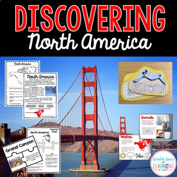
Continents: North America Unit with PowerPoint
*North America Research Unit* Your students will love the variety of this fun, interactive and engaging unit on North America. The North America unit is a comprehensive week long unit that integrates technology, vocabulary, writing, art, reading strategies and more! Students will respond to informational text by answering questions in a student booklet in a variety of formats. Students will learn vocabulary words by creating a picture vocabulary flip book. The vocbulary words are embedded throug
Grades:
1st - 2nd
Also included in: Discovering the 7 Continents [MEGA] Bundle Unit!

Geography, 4 Economic Industries Lesson and PowerPoint — Primary, Secondary, etc
This lesson is easy enough for 5th graders to understand yet works well with students up to grade 12. Modifications can be made as needed. Understanding the Four Economic Industries + Community Service ProjectThis cooperative learning economics industry and factor of production lesson addresses the four economic industries: Primary, Secondary, Tertiary, and quaternary Industries. A nation's economy can be divided into various sectors. Understanding these is important in understanding how our na
Grades:
6th - 12th
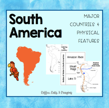
SOUTH AMERICA- Major Countries & Physical Features
Use this product with your students to introduce the major countries and physical features of South America.
The countries I have focused on in this product are the countries TN standards have listed that our 3rd grade students need to know!
Standards Covered...
3.33 Identify on a map major countries of the continent (Brazil, Colombia, and Peru,
Argentina). (G)
3.34 Identify major physical features of the continent (G):
• Rivers - Amazon
• Mountains - Andes
• Bodies of Water - Straits of Mage
Subjects:
Grades:
3rd - 8th
Showing 1-24 of 306 results


