313 results
8th grade geography word walls
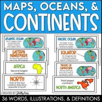
Continents and Oceans Maps and Posters | Geography and Maps Word Wall
Continents and Oceans and Map Skills can be fun to teach, especially when you have this great set of word wall cards. Each card includes the word, definition, and a clear, colorful illustration. Make a great bulletin board in just minutes!Click HERE to save 20% with the Continents, Oceans, and Map Skills BUNDLE!Please click on the PREVIEW above to get a clear picture of everything included.PERFECT for visually reinforcing landform vocabulary!This helpful continents, oceans, and maps word wall se
Grades:
2nd - 8th
Also included in: Maps, Continents and Oceans, Landforms, and Map Skills Bundle
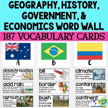
Social Studies Word Wall Vocabulary Cards, Bulletin Board Idea
This product is a word wall to help teach important social studies vocabulary words to students. It can also be used as a social studies bulletin board!The specific regions included are Europe, Australia, Latin America and the Caribbean, and Canada. However, the domains include geography, government, economy, and history, so this resource can be used in most social studies classrooms. Also, many terms are not specific to these regions and can be applied broadly.Each word card includes the vocabu
Grades:
3rd - 11th
Latitude and Longitude Bundle - Activities, Task Cards, & Posters
Latitude and Longitude - Everything you need to teach and practice latitude and longitude skills! 1. Latitude & Longitude Reference Sheets and Activities - reference sheets, worksheets and activities to teach students how to find a spot on the globe using latitude and longitude. Includes answer keys. 11 pages.2. Latitude & Longitude Task Cards - 4 different sets of task cards (12 cards per set, Canadian set has 14) with varying degrees of difficulty. Includes answer keys. Includes se
Subjects:
Grades:
5th - 9th
Types:
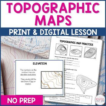
Topographic Maps Complete Lesson | Topographic Map Activity
Your students will be reading topographic maps in a snap with this complete topographic map lesson. Included in this digital and print topographic map lesson are no-prep resources to teach your students to read contour lines, determine contour intervals, and identify elevation. The digital version can easily be shared in Google Classroom.Take a look at the in-depth preview for a closer look at this topographic map resource! Included in this topographic map resource:Topographic Map Presentation
Subjects:
Grades:
4th - 8th
NGSS:
4-ESS2-2
Also included in: Topographic Map Activity and Topographic Map Worksheets Bundle
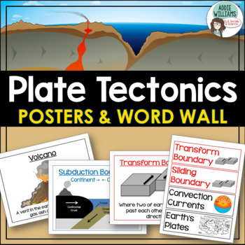
Plate Tectonics Posters - Volcanoes, Plate Boundaries, & Earthquake Faults
Plate Tectonics, Volcanoes, Earthquakes, and More! 24 posters and 30 word-wall strips to use in a plate tectonics unit to help your students learn and review the main concepts.Includes:- Types of volcanoes (Composite/stratovolcano, shield, cinder cone)- Plate Boundaries (Divergent, convergent... posters for each type)- Earthquakes & Faults (Normal, reverse, strike-slip/transform, focus, epicenter)Posters can be printed in black/white or in color! They look great laminated and posted on the w
Subjects:
Grades:
7th - 10th
Types:
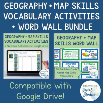
Map Skills and Geography Vocabulary Activity Set and Word Wall Bundle
This bundle contains our Geography Vocabulary Activities and our Map Skills Word Wall. The words used in each resource are the same and go great together!This Map Skills Word Wall contains 30 words and is available in both a color version and a (mostly) black and white version. These easy-to-read cards are ready to print and display in your classroom! All cards include the word itself, the definition, and a historical image or photograph to help your visual learners better understand the word. T
Grades:
5th - 8th
Types:
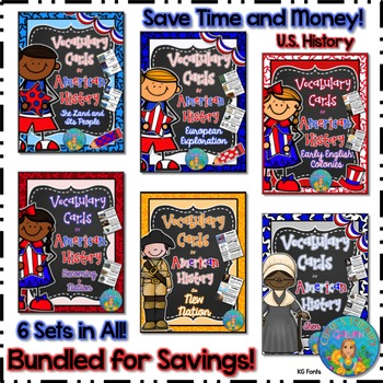
Bundled for Savings Illustrated American History Vocabulary Cards
All 6 sets of my illustrated vocabulary cards are included in this huge bundle! These illustrated vocabulary cards with definitions are designed for upper elementary social studies. However, they may be used with any curriculum that would benefit from visual representations and explanations of key terms related to United States early history or geography. All the cards shown on the thumbnails are included.
197 vocabulary words (with illustrations and definitions) in this set include:
(Unit #
Subjects:
Grades:
3rd - 8th
Types:
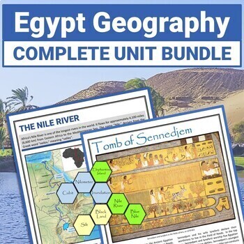
Ancient Egypt Geography Reading Comprehension Passages and Activity BUNDLE
Discover how the Geography and Climate of Egypt and the Nile River influenced settlement and agriculture in Ancient Egypt. Examine Egyptian Tomb Art. Learn how Camels adapt to their desert environment. TONS of Content Variety!Replace or Supplement your existing Textbook!All files are provided in PDF and PPT formats.Convert PPT files to Google Slides for upload to your student-only, password-protected Google Classroom.Click the PREVIEW button above to see everything that's included.Here's all tha
Subjects:
Grades:
K - 9th
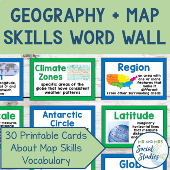
Map Skills + Geography Word Wall | Printable Cards + Editable Slides Vocabulary
This Map Skills Word Wall contains 30 words and is available in both a color version and a (mostly) black and white version. These easy-to-read cards are ready to print and display in your classroom! Even better, there is an editable Google Slideshow included with all of the words and images, so you can edit the definitions and present the words to your students or post on Google Classroom!All cards include the word itself, the definition, and a historical image or photograph to help your visual
Grades:
5th - 8th
Also included in: Map Skills and Geography Vocabulary Activity Set and Word Wall Bundle
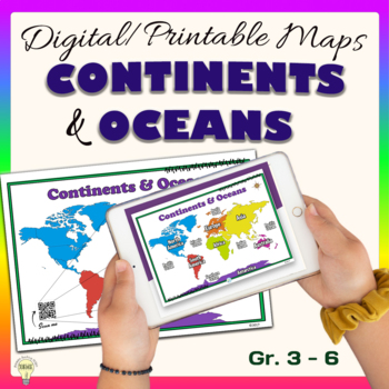
Continents and Oceans World Maps Poster Digital & Printable Handouts+ Boom Cards
"Continents and Oceans" is a set of digital and printable world maps and the individual continent maps: Europe, Asia, Africa, Australia, North America, South America, and Antarctica maps. It is perfect for traditional classroom settings, 1:1 schools, or distance learning in your Science and/ or Social Studies classrooms. These diverse maps are an excellent way to supplement your existing Science and/ or Social Studies curriculum. In no way it is intended or designed to replace it. It is about gi
Subjects:
Grades:
1st - 12th
Types:
Also included in: Social Studies United States Geography US History Growing BUNDLE
Five Themes of Geography Word Wall Posters | 5 Themes Bulletin Board | Microsoft
Display colorful, 5 Themes of Geography posters year-round to easily tie in the concepts with every unit. The posters feature Stickman discovering the meaning of each of the 5 themes. A quick intro activity challenges your class to examine the images to match the theme to its definition. It’s a fun way to encourage your students to look for details & find main ideas. Decorate your walls & bulletin boards with the bright poster set or have students save the reference charts into their dig
Subjects:
Grades:
4th - 9th
Types:
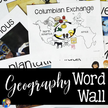
Geography and World Cultures Word Wall Terms for a Year
Support your students with a Word Wall on key vocabulary terms for World Cultures or geography. This resource is designed for you to create an interactive Word Wall in your classroom for key terms in geography and World Cultures. These terms have been chosen to reinforce vertical alignment between Texas and US History. Research shows the benefit of Word Walls for all of your students, not just your struggling learners. These Word Wall images are created out of high quality clip art and stock ph
Grades:
6th - 9th
Types:
CCSS:
Also included in: GEOGRAPHY ACTIVITIES BUNDLE
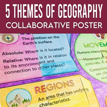
5 Themes of Geography Collaborative Poster with Extension Reference Sheets
Create a meaningful bulletin board or word wall display for your geography class with this collaborative poster! Similar to a quilt project, each student will complete a section of the poster to form a student-created display that focuses on the Five Themes of Geography. This resource also includes a two-page reference sheet with additional details explaining these core geography themes. Add these pages to a notebook or glue into a composition notebook for review.This zip file includes::: 3 post
Grades:
5th - 8th
Types:
Also included in: Social Studies Collaborative Posters Bundle for the Beginning of School
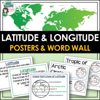
Latitude and Longitude Posters & Word Wall
LATITUDE AND LONGITUDE POSTERS - Teaching your students latitude and longitude? Use this set of 9 handy classroom posters and 12 word wall strips to help your students learn the following terms:- Latitude- Longitude- Tropics- Arctic and Antarctic Circles- North and South Poles- Equator- Important Lines of Latitude map- Prime Meridian- International Date Line**Please note this is also part of my Latitude and Longitude Bundle!Check out more mapping and geography activities by clicking the links be
Subjects:
Grades:
5th - 8th
Types:
Also included in: Latitude and Longitude Bundle - Activities, Task Cards, & Posters
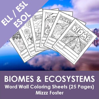
ELL / ESOL / ESL Biome & Ecosystems Word Wall Coloring Sheets (25 pages)
This set is designed to help ELL / ESL / ESOL students as they learn English, this Biome & Ecosystems set includes the words: biome, tundra, alpine tundra, arctic tundra, grassland, savanna, temperate grassland, steppe, forest, boreal forest, tropical forest, temperate forest, aquatic, wetlands, estuary, marine water, freshwater, desert, coastal desert, hot dry desert, cold desert, semiarid desert, caves, ecosystem, and ecological niche.Coloring pages have recently become a huge hit all over
Subjects:
Grades:
6th - 12th
Types:
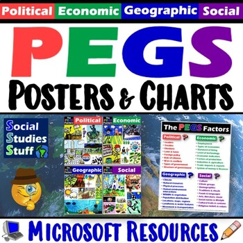
PEGS Factors Poster Set & Reference Chart | Social Studies Word Wall | Microsoft
Explore the world using the PEGS factors - Political, Economic, Geographic, Social. Display the colorful posters in your classroom. Provide students a PEGS chart to add into their interactive notebooks for reference. Everything you need is included! Social Studies curriculum changes focus, sometimes drastically, from year to year. The PEGS factors are common themes that unite all SS classes. Similar ideas are taught as PESTLE, STEEP, or PEST. Building a strong foundation with these concepts lead
Grades:
5th - 12th
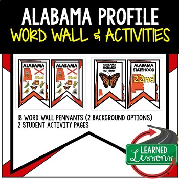
Alabama History Word Wall, State Profile, Alabama Activities US History Posters
State Profile: Alabama History Word Wall, State Profile, Activity Pages (United States)ALABAMA HISTORYALABAMA STATE PROFILE ALABAMA STATE SYMBOLSALABAMA POSTERIncludes 18 Word Wall pennants including state symbols. One set has the state as the background and the other set has the state flag as the background. The pennants will make excellent classroom decorations, bulletin board displays, or state history unit displays. These is also a research table, and activity pages with mapping for stude
Grades:
4th - 10th
Also included in: United States Word Wall State Profiles State Activities BUNDLE
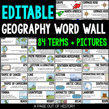
Geography Word Wall Editable Color and Black and White
Use this geography word wall to help familiarize your students with the vocabulary during your geography unit! Each word wall card includes a definition and illustration. Every word wall card is available in color and black and white options!This geography word wall pack includes 84 cards with illustrations!These geography word wall cards are editable! You will need Microsoft PowerPoint to edit them.Please check out the preview for a more in-depth look at this resource!Included in this download:
Grades:
2nd - 8th
Map and Globe Word Wall Vocabulary Cards - geography FREEBIE!
There are 50 map and globe word wall vocabulary cards included in this freebie pack. Words included:atlas, cartographer, compass rose, north, south, east, west, northeast, northwest, southeast, southwest, cardinal, intermediate, globe, northern hemisphere, southern hemisphere, eastern hemispere, western hemisphere, longitude, latitude, grid, coordinates, equator, prime meridian, axis, 0 degrees, scale, key, legend, symbols, North Pole, and South Pole and more. I also included 12 types of maps,
Grades:
2nd - 12th
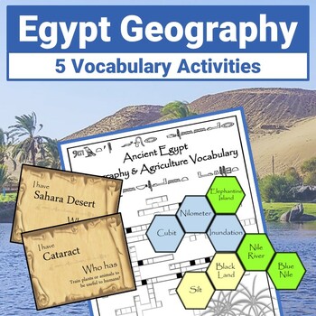
Ancient Egypt Geography Vocabulary and Hexagonal Thinking Activity
Strengthen Ancient Egypt Geography Vocabulary with 5 student-favorite activities! So many options to explore Egypt and the Gift of the Nile! Hexagonal Thinking Activity - Students employ Higher Level Thinking to make connections between vocabulary termsVocabulary Word Wall – Twenty-four 8.5 x 11” full-color posters to print on card stock and add to your Word WallI Have, Who Has Game - Color and BW versionsCrossword Puzzle with Answer Keys - 2 Versions - With and Without Word BankVocabulary Task
Subjects:
Grades:
6th - 9th
Types:
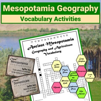
Mesopotamia Geography Vocabulary Activity Hexagonal Thinking Word Wall
Strengthen Mesopotamia Geography and Agriculture Vocabulary with 5 FUN Low Prep Activities! Perfect for Warmup Bellringers, Stations, and Early Finishers! Word Wall – 8.5 x 11” full-color posters for your Word WallHexagonal Thinking Puzzle Activity - Higher Level ThinkingVocabulary Task Cards - with LOTS of ideas for using them!I Have, Who Has Crossword Puzzle - With and Without Word BankFiles are provided in PDF and PPT formats. Convert PPT files to Google Slides for upload to your student-o
Subjects:
Grades:
6th - 9th
Types:
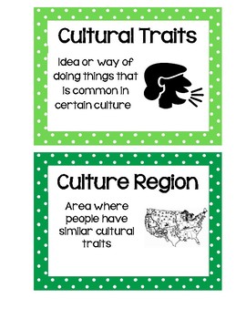
Social Studies Word Wall Cards
These Word Wall Words are originally designed to meet the standards of Texas' TEKS for 6th grade Social Studies; however, they are easily applicable to other states' standards and other grade levels! Each card has the term, the definition, and a visual representation. I hope you enjoy these 78 key Social Studies terms!
Subjects:
Grades:
2nd - 11th
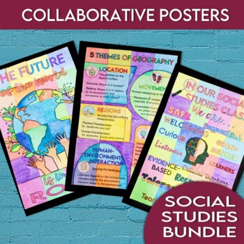
Social Studies Collaborative Posters Bundle for the Beginning of School
If you teach social studies, this set is for you! Create 3 meaningful bulletin board or hallway displays with this set of collaborative posters! Similar to a quilt project, each student will complete a section of the poster to form a student-created display. This set of collaborative posters is great for the beginning of the school year.Poster 1: In this Social Studies Class We Are... (great for setting norms)Poster 2: Five Themes of Geography (great word wall option)Poster 3: The Future of the
Grades:
5th - 8th
CCSS:
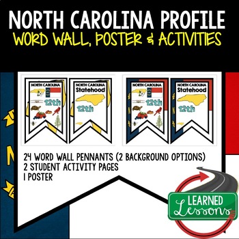
North Carolina History Word Wall State Profile North Carolina Activities Posters
State Profile: North Carolina History Word Wall, State Profile, Activity Pages (United States)North Carolina HISTORYNorth Carolina STATE PROFILE North Carolina STATE SYMBOLSNorth Carolina POSTERIncludes 24 Word Wall pennants including state symbols. One set has the state as the background and the other set has the state flag as the background. The pennants will make excellent classroom decorations, bulletin board displays, or state history unit displays. These is also a research table, and ac
Grades:
4th - 10th
Also included in: United States Word Wall State Profiles State Activities BUNDLE
Showing 1-24 of 313 results

