7,425 results
Geography pdfs $5-10
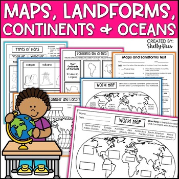
Maps & Globes Continents Oceans Map Skills Worksheet World Map Activity Landform
Interactive Notebooks are a wonderful tool for providing hands-on experiences for learners. This Maps, Continents, and Landforms Interactive Notebook is no exception! The packet is easy to use for both student and teacher. ✅ Click HERE to SAVE 20% on this resource with the Maps, Continents, and Landforms unit and poster bundle!✅ Click HERE to SAVE even more by buying ALL 15 Social Studies Interactive Notebooks and Mini Units in one Year-Long Bundle.Click on the PREVIEW button above to see all t
Grades:
3rd - 5th
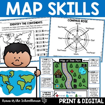
Map Skills Activities and Worksheets Maps Globes Landforms Continents & Oceans
Make learning fun for your students when teaching map skills. Map skills topics include maps, globes, continents, oceans, landforms, water forms, suburban, urban, rural, directions, and more. This resource is perfect for second, third, and fourth grade students. Digital activity included using Easel by TpT.These activities can be used during whole group instruction, independent work, and center time. Easy-to-use activity sheets with clear directions and answer keys are provided.HERE'S WHAT YOU'L
Grades:
2nd - 4th
Types:
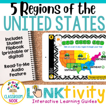
5 Regions of the United States LINKtivity® (Geography, Climate, Landforms, MORE)
Take your students on an exciting virtual road trip through the five regions of the United States with our digital LINKtivity® Interactive Learning guide! Our interactive guide offers a fun and engaging way for students to explore each region's climate, landforms, bodies of water, and popular tourist destinations.Designed for upper elementary classrooms, our easy-to-navigate digital guide requires minimal teacher prep and is entirely student-controlled, allowing for self-paced learning. With a v
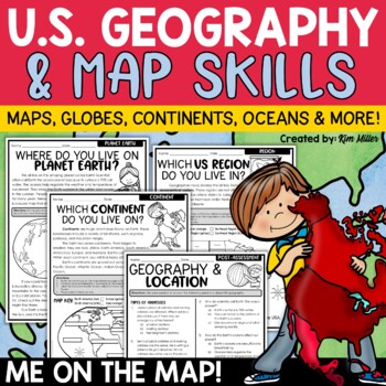
US Geography Map Skills | Maps and Globes, Continents, Oceans, Me on the Map
Do your students struggle with general map skills, their location on a map or globe, or naming our continents and oceans? This popular U.S. geography and map skills packet will help your students master these mapping skills and more with ease. Fun for students and super helpful for teachers!This United States geography and map skills resource provides an easy and fun way for students to develop a better understanding of where they live in the world, as well as key geography skills and concepts.
Subjects:
Grades:
3rd - 5th
Types:
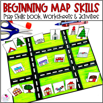
Map Skills Worksheets Book Lapbook - Reading a Map, Cardinal Directions, Compass
Are you looking for an engaging first grade map skills resource to add to your social studies curriculum? This engaging resource is what you need to teach mapping skills like cardinal directions, compass rose, and map skills. Students will love the map skills books and the hands-on build a town map. Finally, students can demonstrate their learning with the final map skills lapbook. Use this resource for:first gradesecond gradewhole class instructionsmall group instructionpartner workStudents wi
Subjects:
Grades:
K - 2nd
Types:
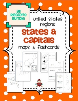
All US Regions States & Capitals Maps
Save $3 if you buy all the regions at once in this packet! Note that this product includes both MAPS and FLASHCARDS for the states & capitals of the five regions of the US.
This product contains 3 maps of each of the five regions of the United States (15 maps in all). Check out the FREE Northeast region set of maps.
• Study guide map labeled with the states and capitals (which can also be used as an answer key)
• Blank map with a word bank of the states and capitals
• Blank map without wor
Subjects:
Grades:
3rd - 5th
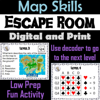
Map Skills Activity Escape Room (Geography Unit: Latitude & Longitude, Map Types
This breakout escape room is a fun way for students to test their skills with maps.Important: (How to Make Completely Digital)This product normally requires the printing of the questions to accompany a digital form for students to input answers. But if you follow a couple simple steps, this can be made entirely digital! Just use the following tool:https://smallpdf.com/split-pdf(choose "extract pages")to extract the pages containing the questions into its own PDF. You can then upload that PDF t
Grades:
4th - 8th
Types:
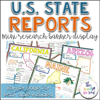
State Report Research and Banner Display Project
If you're looking for an alternative way for your students to research and report on states in the U.S., then look no further. These research banners are not only engaging and educational, they are also visually appealing and provide a great classroom/hallway display.This set includes:● 50 visually appealing state banners● 50 state banners with writing lines (and state flag)● 50 blank state banners for student creativity● Teacher lesson plan page (includes research web sites)● Student recording
Grades:
5th - 8th
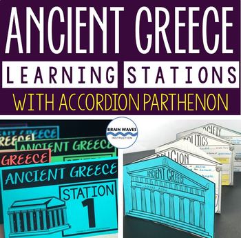
Ancient Greece Stations, Parthenon Accordion Book, Ancient Greece Activities
This resource contains six ancient Greece learning stations that students can rotate through in small groups. Each learning station (or center) is designed to give students engaging and exciting learning experiences to practice, enrich, review, and enhance their learning. Students will visit each station with a small group and complete ancient Greece activities. Here’s the fun part! During the learning stations, students will create an accordion book to showcase their learning. They’ll “build” f
Grades:
5th - 8th
Types:
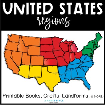
United States Regions {Fun activities for teaching about US Regions!}
This pack is over 100 pages of regions of the United States fun!!! The five regions included are the Northeast, Southeast, Midwest, Southwest, and West. For each united states region, I've included an interactive book filled with lots of information, a word search, craft, different writing activities to go along with the craft, and a colorful map of the region. Also included in this pack are a few different pre/posts tests, landforms of the U.S. posters with picture and definition, and a state/r
Subjects:
Grades:
1st - 4th
Types:
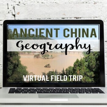
Ancient China Geography: Virtual Field Trip (Google Earth Exploration)
Take your students on a virtual field trip to learn the geography of ancient China! Using a combination of Google Earth™ 360-degree views, informational text, video, and visuals, your students will learn about and explore the geography of ancient China including: the Gobi Desert, Himalaya Mountains, Tibetan Plateau, Yangtze River, and Huang He River (Yellow River).Your students will learn about::: geographic location of China:: modern-day borders (map skills included):: Gobi Desert (Mongols &
Subjects:
Grades:
5th - 7th
Also included in: Ancient China Virtual Field Trip Bundle (Google Earth Exploration)
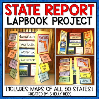
State Report | A State Research Project for ANY U.S. State! | 50 States
Your students will love researching and learning about ANY state with this lap book project! Everything you need to easily set up and implement a fun, hands on state research project in your classroom is included.
This packet includes separate map pages of ALL 50 states, so that you can either assign all students to research the same state (usually the one you reside in) or assign students to each create a lap book for a different state. The finished projects make a wonderful display!
If yo
Grades:
3rd - 6th
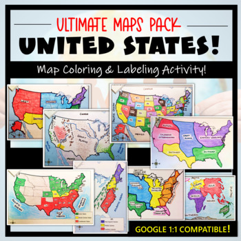
U.S. Maps & Geography- The Ultimate Label & Color Maps Pack! (American History)
This United States Ultimate Maps & Geography Pack includes eight different maps for your American History student explorers- Political Map, Physical Map, Native American Cultural Regions, 13 Colonies, Westward Expansion, 5 Regions, Civil War, and a World Map. These labeling and coloring activities are interactive, engaging, and ready to use- just print and copy! A Teacher’s Guide is provided, as well as options for use to fit your curriculum/lesson. You will also receive a completed, col
Grades:
3rd - 10th
Types:
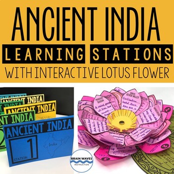
Ancient India Unit with Learning Stations and Interactive Project
This resource contains six ancient India learning stations that students can rotate through in small groups. Each learning station (or ancient history learning center) is designed to give students engaging and exciting learning experiences to practice, enrich, review, and enhance their learning. Students will visit each station with a small group and complete tasks and assignments. Check this out! Students will create a 3-D interactive lotus flower filled with their learning. They’ll add inform
Grades:
4th - 7th
Types:
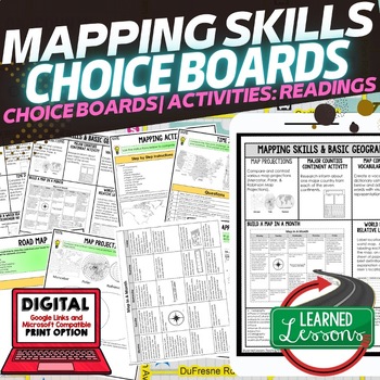
Geography Mapping Skills Activities, Geography Choice Board, Reading Passages
Mapping Skills and Basic Geography Choice Boards, Mapping Skills Readings Google Classroom, Print & Digital Learning provides differentiated activities to use with students to master the content. THIS IS ALSO PART OF SEVERAL BUNDLES World Geography MEGA BUNDLE AND World Geography Choice Board Activity BUNDLE AND Mapping Skills BUNDLE Choice Board Activities and Mapping Skills Readings Including the following: Mapping ActivityCartographerMap ScaleTypes of MapsTime ZonesRoad MapsLand and Wate
Grades:
7th - 12th
Types:
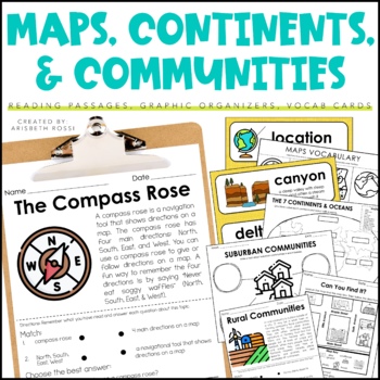
Maps and Globes - 7 Continents and Oceans- Landforms Map Skills Activity
This interactive and engaging resource will help your students learn all about Map Skills, Globes, Continents, Landforms, and Communities! These Map Skills activities will not only have your students learning the importance of locating on places on maps and globes, they’ll also be learning about constructing and reading a simple map, using cardinal directions and identifying map symbols. Lastly, they'll also compare and contrast basic land use in urban, suburban, and rural environments.This Maps
Grades:
1st - 3rd
Types:
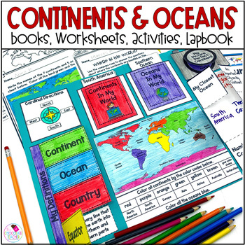
Continents and Oceans 1st & 2nd Grade Social Studies 3D Map, Lapbook, Worksheets
Do you need an engaging social studies resource to teach your students about the seven continents and five oceans? This easy-to-use resource includes everything you need to help your students learn about the world's continents and oceans.A variety of activities will keep your students engaged. These include vocabulary cards, books, worksheets, a 3D student map, a mapping lapbook, and a writing activity.This resource is part of a money-saving BUNDLE. Click to save 20% by purchasing the BUNDLE.Use
Subjects:
Grades:
K - 2nd
Types:
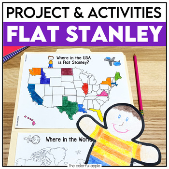
Flat Stanley Project
This Flat Stanley project is an engaging integrated unit for your students! This unit has everything you need to mail your own Flat Stanley projects around the world. Your students will love getting mail (and won't even know they are learning)!This Common Core aligned resource also includes Flat Stanley comprehension questions, vocabulary words and graphic organizers to help students understand the novel.This makes for a great activity for students! Students will create their own Flat Stanley p
Subjects:
Grades:
2nd - 4th
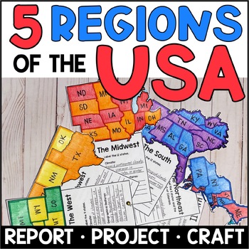
Regions of the United States - Research and Project for the 5 Regions of the USA
This Regions of the United States project is just what you need to help students research the 5 regions, take notes, and publish a report. Students will be engaged as they learn about the 5 regions and create the interactive Regions of the USA Fan. This project works well as an independent project or for group work. Students in groups of 5 can each study one region and collaborate to create the finished product.This Regions project includes: graphic organizers for taking notesa list of recommen
Subjects:
Grades:
3rd - 5th
Types:
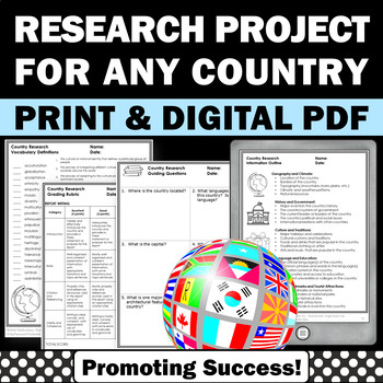
Country Research Projects Study Report Countries Around the World Research
Country Research Projects: This newly revised (July 2023) country study worksheet packet will help your 4th grade, 5th grade, and 6th grade social studies students conduct a country study research project for countries around the world. It not only includes country research graphic organizers and templates and for gathering information and conducting country research, but also guidance and skills for country report writing and giving a presentation. Grading rubrics, answer keys, differentiated a
Subjects:
Grades:
4th - 7th
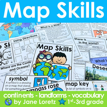
Map Skills 2nd grade 3rd grade worksheets, continents, vocabulary, landforms
This unit has everything you need for a great unit to teach map skills, vocabulary, continents, and landforms. This unit was written and used with first, second and third graders.What is included….MAP SKILLS-A 12 page no prep packet to help your students understand basic map skills. A cover is included so all you need to do is copy and staple. This pack would be great for distance learning, easy enough so students can do this independently. This pack includes these concepts…-What is a globe?-Wh
Subjects:
Grades:
1st - 3rd
Types:
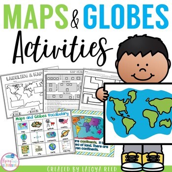
Maps and Globes
Maps and GlobesThis is the perfect unit for your teaching on Maps, Globes, and Where We Live. I have packed some great resources in this unit!!!You will get a 2 PAGE FREEBIE when you download the preview!!!Download the preview to see every page in the unit!!!!Table of ContentsPg. 2-13 Posters for teaching and vocabularyPg. 14 Vocabulary ChartPg. 15-18 word wall cards, write the room cards, etcPg 19 write the room recording sheetPg 20 What is a Globe? Mini bookPg 21 What is a map? Mini bookPg 2
Grades:
K - 2nd
Types:
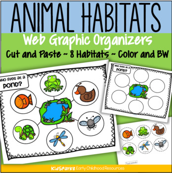
Animal Habitats Cut and Paste 8 Biomes Web Graphic Organizer Low Prep
Children create 8 animal habitat web graphic organizers by cutting and pasting 6 typical animals onto a habitat mat background.There are 8 habitats/environments represented: ForestRainforestFarmOcean PondDesert ArcticAfrican SavannaClick on the PREVIEW link to see most pages.Each habitat activity includes 4 pages:a web graphic organizer page, in color and b/w a page with 6 labeled animals to cut and paste, in colorand a page with 6 labeled animals to cut and paste, in b/wChoose either the pages
Subjects:
Grades:
PreK - 2nd
Types:
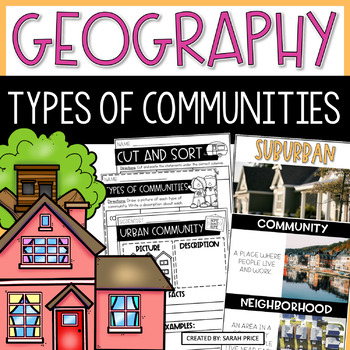
2nd & 3rd Grade Geography - Types of Communities Social Studies Activities
Teaching 2nd and 3rd grade students about the different types of communities is fun and exciting with these activities and worksheets! This social studies resource contains easy-to-follow lessons to help you teach your class about the different characteristics of communities in the U.S. Cover a variety of geography topics as your students will learn about the population, transportation, and homes in urban, suburban, and rural communities. This product includes lesson plans, foldables, activities
Subjects:
Grades:
2nd - 3rd
Types:
Showing 1-24 of 7,425 results


