12,268 results
2nd grade geography printables
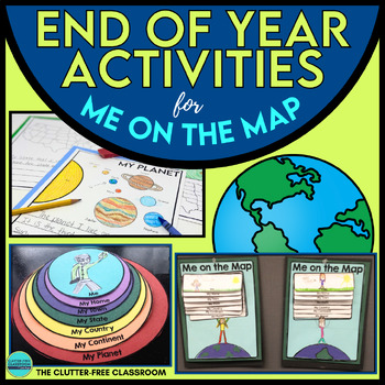
End of the Year Craft Activity Last Week of School Me on the Map Skills Review
Looking for an End of Year Craft Activity to Review Map Skills? Want a Last Week of School Writing Project? This Me on the Map flip book and summer writing pages are perfect for 1st, 2nd, 3rd or 4th grade students!This Maps and Globes activities pack has 8600+ POSITIVE REVIEWS and is the original & most highly-rated Me on the Map Project Activity Bundle on TpT. Teach map skills with crafts, printable worksheets, flip books & a nesting circle craftivity for the book by Joan Sweeney.It wil
Subjects:
Grades:
1st - 5th
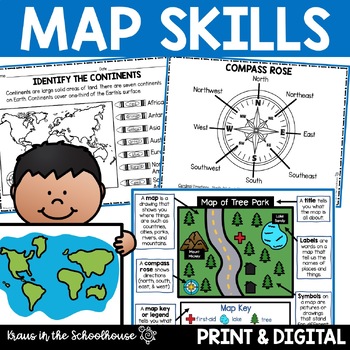
Map Skills Activities and Worksheets Maps Globes Landforms Continents & Oceans
Make learning fun for your students when teaching map skills. Map skills topics include maps, globes, continents, oceans, landforms, water forms, suburban, urban, rural, directions, and more. This resource is perfect for second, third, and fourth grade students. Digital activity included using Easel by TpT.These activities can be used during whole group instruction, independent work, and center time. Easy-to-use activity sheets with clear directions and answer keys are provided.HERE'S WHAT YOU'L
Grades:
2nd - 4th
Types:
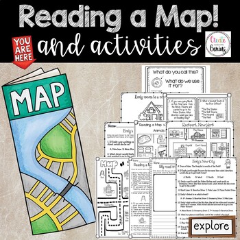
Map Skills- Reading a Map and Activities
✅⭐️Are you studying maps in your primary classroom? If so, then you will love this all inclusive NO PREP set! Not only does it go over cardinal directions and how to read a map, it also reviews parts of a map such as the map key, title, and compass rose. It is a perfect lesson to include in your social studies geography unit!⭐Please know that this resource is a PDF. It is great for distance learning if you are sending home packets or are able to transfer it to Google Slides™ to use in Google Cla
Subjects:
Grades:
K - 5th
Types:
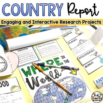
Country Study Report & Country Research Projects Countries Around the World
Are you working on a country study in your classroom? Completing a country research project for one of the many amazing countries around the world can be such a great way to open your students eyes to the diversity of countries, peoples, and cultures around the world. This fun, fresh and engaging country report resource is the perfect DIFFERENTIATED way to meet each student where they are and guide them as they present their research on countries around the world. Complete with 32 countries from
Grades:
2nd - 5th
Types:
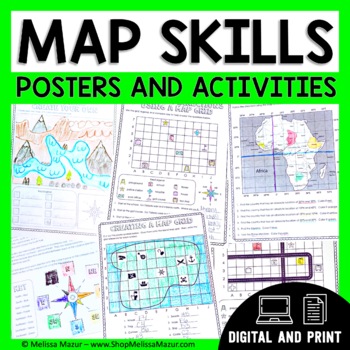
Map Skills Unit - Maps & Globes Activities - Types of Maps
This no-prep map skills unit includes both vocabulary reference posters and activity pages on many different topics. These activities are an engaging way for students to develop their skills and practice reading maps. *UPDATE* You can now share this with your students digitally!This resource was created using Google Slides. You must have a Google email for use. Each section can be assigned in Google Classrooms. It is ideal for distance learning. I also include the print file so you can have a
Grades:
2nd - 4th
Types:
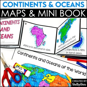
Label Continents and Oceans Activities | Blank World Map Printable 7 Continents
Students LOVE learning about the Continents and Oceans of the World with these fun hands-on activities, including a 7 continents mini-book, blank world map, coloring pages, and even a label continents and oceans quiz. This NO PREP packet is easy for teachers and engaging and hands-on for students!Please click on the preview button above to take a look at everything included.This resource includes:7 Continents Mini-BookColoring Pages/Posters of Each ContinentBlank World MapLabeled World MapPost-U
Subjects:
Grades:
2nd - 5th
Types:
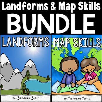
Landforms & Map Skills Unit BUNDLE
Make learning about geography come to life with this landforms and map skills bundle unit for young learners! Your students will have the opportunity to explore the landforms that shape our Earth, as well as beginning map skills. This bundle contains a variety of printables, projects, crafts, and much more. Also available in...Landforms and Map Skills DIGITAL BundleLandforms and Map Skills PRINT & DIGITAL Mega BundleLANDFORMS pack includes:Recommended book list Landforms posters (landform, b
Grades:
1st - 3rd
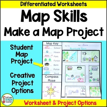
Map Skills Make Your Own Map Project with Map Worksheets and Map Activity
Create your own map using this fun, creative activity to learn about reading maps. Students love designing maps with towns, cities, parks, and islands. They complete practice worksheets and create their maps. This project based learning activity is a hands-on way to interact with maps.You receive:4 map worksheets - becoming progressively more difficult2 compass rose pages for students to complete (choose the level you need)6 different "Make Your Own Map" project pages to choose from3 differentia
Grades:
2nd - 4th
Types:
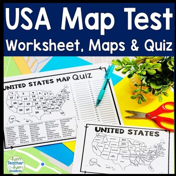
United States Map Quiz & Worksheet, USA Map Test w/ Practice Sheet, US Map Quiz
United States Map Test: Easy-to-read US Map Quiz and Practice Sheet will help students learn to correctly identify and locate all 50 states. This product also includes a labeled USA Map in full & half-page design and blank USA map for practice. Learning how to correctly identify all 50 states on a map of the United States is a critical skill for students of all ages.US Map Quiz (US Map Test) is ready to print-and-go to test knowledge of the USA Map and 50 states. This map of the United State
Grades:
2nd - 8th
Types:
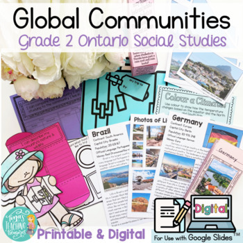
Global Communities -People & Environments : Grade 2 Ontario 2023 Social Studies
Newly updated for the new 2023 Ontario Social Studies Curriculum changes!! (Latest update: Aug 26, 2023)Global Communities for Grade 2 Ontario social studies curriculum (People and Environments)! Printable (PDF) and Digital Force Copy Link for Google Slides included! This unit is designed to help your young learners begin using the inquiry approach. The research and inquiry aspects are guided and prompted (more open-ended options are also included!) to help young learners find success with the
Subjects:
Grades:
2nd
Types:
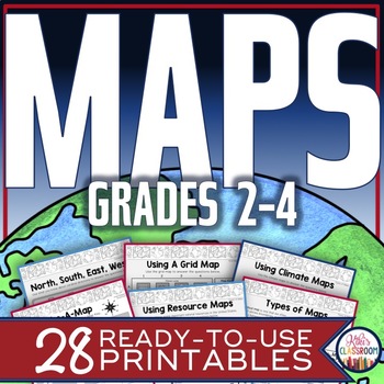
Map Skills Worksheets - Types of Maps, Cardinal Directions, Scale, Reading Maps
This pack of activities for Grades 2 - 4 includes 28 pages of thoughtfully designed printables to engage your students while they practice these basic concepts. You’ll find these ready-to-use pages to be easy to implement and thorough in scope. This resource includes opportunities for your students to acquire information from a variety of maps, to use map elements including the compass rose and scale, and to create their own maps within a defined (and easy to use) set of directions. There’s j
Grades:
2nd - 4th
Types:
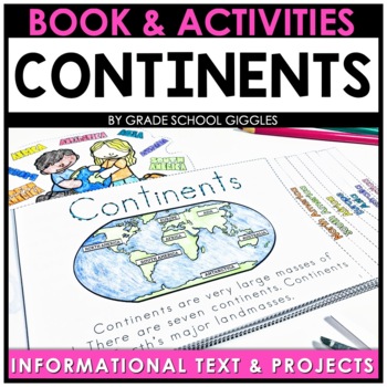
7 Continents And 5 Oceans Activity Printables & Project - Cut, Paste, Label, Map
Are you looking for an engaging way to teach your students about the 7 continents and 5 oceans? These printables and fun continent activities will keep your kids engaged while they label, color, cut, and paste as they learn about the world. This mini-book is full of informational text about each continent organized into bite-sized chunks. You'll also find interactive pages to help your students comprehend and retain the information they read.In addition to the interactive mini-book, you'll also
Subjects:
Grades:
2nd - 3rd
Types:
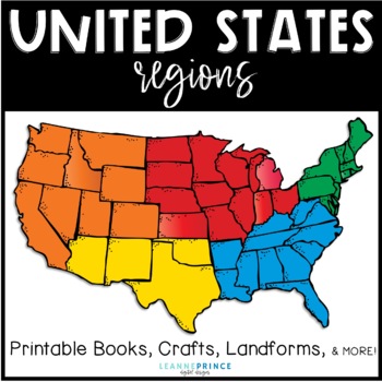
United States Regions {Fun activities for teaching about US Regions!}
This pack is over 100 pages of regions of the United States fun!!! The five regions included are the Northeast, Southeast, Midwest, Southwest, and West. For each united states region, I've included an interactive book filled with lots of information, a word search, craft, different writing activities to go along with the craft, and a colorful map of the region. Also included in this pack are a few different pre/posts tests, landforms of the U.S. posters with picture and definition, and a state/r
Subjects:
Grades:
1st - 4th
Types:
MAPS - How to Use a Map - Mapping Unit for Kindergarten and First Grade
Teach your students all about maps with this adorable, hands-on unit. We learn about using directional words with a compass rose, how to use map grids (find square A2, C3, etc.) how to make your own map, where we live on the map, how to find specific places on town maps and more! THESE MAP ACTIVITIES ARE INCLUDED IN MY ALL ABOUT EARTH UNITPlease do not purchase this listing if you already own Unit 8 All About Earth.--------------------------------------------------------------------------------
Grades:
K - 2nd
Types:
Trip to Mexico Power Point and Activities Pack | Cinco De Mayo Activities
Have a great time learning about Mexico with this fun Power Point and Activities Pack. Both PowerPoint and Google Slides versions are included. It's the perfect activity during Cinco De Mayo, the last week of school, or for some Friday fun! Your class will be introduced to the geography, language, culture, and food in Mexico. The PowerPoint is packed with colorful, real photos. And a variety of activities are included to help your students reflect on what they've learned. Be sure to read the tip
Subjects:
Grades:
K - 6th
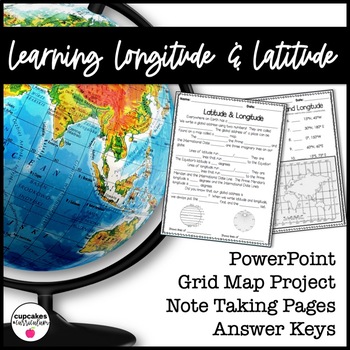
Latitude & Longitude Worksheet for Latitude & Longitude Practice with PowerPoint
This interactive Social Studies lesson engages your students in note-taking of important concepts and lets them use their creativity to show what they have learned!▁▁▁▁▁▁▁▁▁▁▁▁▁▁▁▁▁▁▁▁▁▁▁▁▁▁▁▁▁▁▁▁▁▁▁▁▁▁WHAT IS INCLUDED IN THIS RESOURCE?⇨ 10-page PowerPoint Presentation: Show a vibrant Powerpoint to your students to introduce concepts like longitude, latitude, grid map, coordinates, Prime Meridian, International Dateline, and Equator. ⇨ Accompanying Worksheets: As you engage them in this powerp
Grades:
2nd - 5th
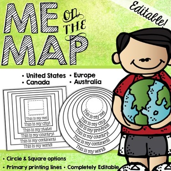
Me on the Map Circle Book {EDITABLE!}
This EDITABLE Me on the Map book is a great way for your students to understand about their place in the world!___________________________________________________________________________Included are both PRINTABLE and EDITABLE forms. THE EDITABLE VERSION OF THIS PRODUCT IS A POWERPOINT DOCUMNENT. YOU MUST HAVE POWERPOINT IN ORDER TO EDIT THIS PRODUCT.___________________________________________________________________________THIS PRODUCT INCLUDES: - Circle Books with blank spaces- Circle Books wi
Subjects:
Grades:
K - 4th
Types:
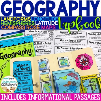
Geography Lapbook & Passages | Maps and Globes | Map Skills
This geography lapbook kit includes 11 PAGES OF INFORMATIONAL PASSAGES about maps and globes, hemispheres, lines of latitude/longitude, cardinal and intermediate directions, compass rose, continents and oceans, pangaea, landforms, bodies of water, plus black line masters and step by step photo directions for making a geography lapbook with your students. Also included, are 12 full color landform and bodies of water posters that match the images in the passages and lapbook. Use the geography lapb
Subjects:
Grades:
2nd - 4th
Types:
Also included in: Social Studies BUNDLE: Interactive Kits
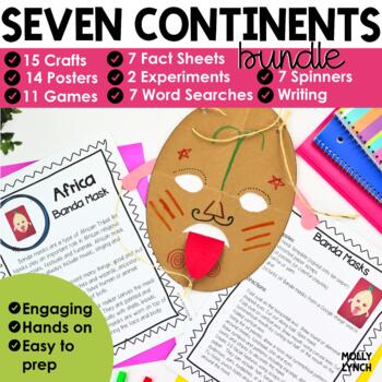
7 Continents Bundle: Reading, Writing, Printables & Activities Seven Continents
Are you looking for a hands-on way to immerse your students in the study of the 7 Continents? This Continent unit is filled with 35+ activities, incorporating reading, writing, and geography, along with interactive and engaging projects! This 150+ page resource is filled with posters, facts, printables, activities, games and so much more! Your students will love learning about the 7 Continents.✨Included in this resource:Interactive, Informational Text Book, "The Seven Continents"Seven Continents
Grades:
K - 2nd
Types:
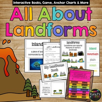
Landforms and Bodies of Water Interactive Books Posters Game and Worksheets
This ALL you will need to teach your students about landforms! This set has posters, a game, interactive booklets & flip books, a test & more!! Real photos and clip art versions are available for all. I love to get the students engaged instead of just having them copy down words, and this set is perfect for that! My All About Landforms Books are great for end of the year 1st graders, 2nd graders, and even 3rd grade. Check out the preview for a better look of all that is included!⭐Save $$
Subjects:
Grades:
1st - 3rd
Types:
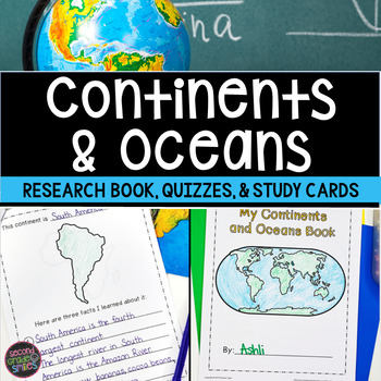
Continents and Oceans Geography Research, Study Cards, Quizzes | Print & Easel
This seven continents and major oceans geography resource includes: Continent Student Book - A cover page, label by number student maps, and pages picturing an outline of each of the 7 continents with space for students to write three facts about the continent are included.Continent and Ocean Quizzes - Both continent and ocean options come with and without word banks. Answer keys are included.Continent Study Cards - Each study card features a picture of the continent and the continent’s name.
Subjects:
Grades:
1st - 3rd
Types:
"Trip to Hawaii" Power Point & Activities Pack!
This makes for such a fantastic end of year activity! You'll have a great time learning about Hawaii with this fun Power Point and Activities Packet with your students. Read about how I take my class on this exciting adventure below....Check out other products like this!Trip to Mexico BundleTrip to Australia BundleTrip to South AmericaFREE World Travel Student PassportIncluded in this pack... (check out the preview file for a sneak peek!)-47 slide power point on Hawaii where you learn about -
Subjects:
Grades:
K - 6th
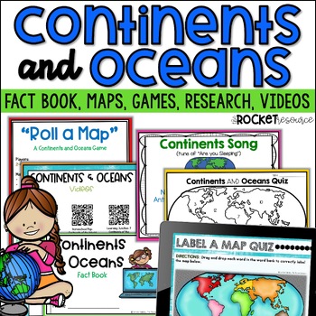
Continents and Oceans Activity | 7 Continents Printables | Ocean and Continents
Are you looking for a fun and engaging continents and oceans activity to teach map skills lessons in 2nd and 3rd grade? With engaging games, songs, maps and more, these 7 continents printables will lead to student mastery in no time! Students can label the 7 continents on a map, learn about the continents and oceans through reading passages, play continents and oceans games, sing songs, complete continent and oceans project ideas, and complete research. INCLUDES BOTH A PRINT AND DIGITAL VERSIO
Subjects:
Grades:
2nd - 4th
Types:
Map Skills - Me on the Map
Map Skills: Me on the map - Hi teachers! Are you beginning to teach your kiddos map skills? Well this unit might be just what you need. There are tons of activities included just take a look below:Vocabulary PostersMaps of the World: Identify ContinentsMaps of the Word: Identify OceansMaps of the World: Identify the Continent you live onDescribe a MapGlobe: Identify Poles, Equator, Continents, OceansDescribe a GlobeCompare and Contrast Globes and MapsSort Maps and GlobesIdentify Neighboring C
Subjects:
Grades:
K - 2nd
Types:
Showing 1-24 of 12,268 results


