62 results
Not grade specific geography activboard activities
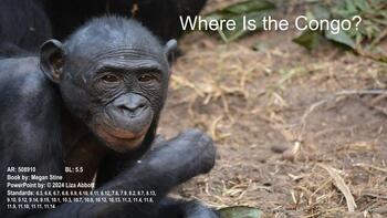
Where Is the Congo Powerpoint
A Google Slide presentation using the information from the book, Where Is the Congo. This is intended to be a supplement to the book. There are 80 slides that include questions and answers with page numbers, pictures, and videos related to each topic. I have included the Alabama standards and there is a slide with related topics.The videos are embedded into the PowerPoint but I have also included the link because sometimes the embedded video does not work. Please keep in mind that due to changes
Subjects:
Grades:
Not Grade Specific
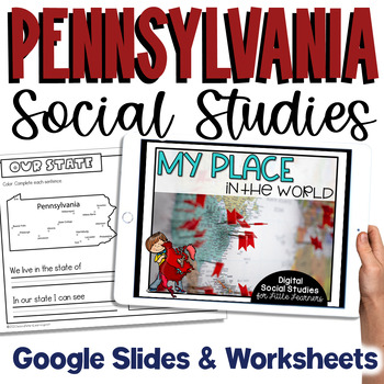
Pennsylvania Social Studies | Special Request Edit for High School SPED
***Edited by request to remove elementary clipart so it can be used in a HS SPED classroom. You can view the original Pennsylvania Social Studies HERE.***My Place on the Map - lessons for identifying and locating city, county, state, country, and continent - This is an interactive Google Slides Presentation (76 slides) with 18 accompanying B&W printable worksheet activities.This product is ideal for the early grades. This product includes an interactive Google Slides file that requires no ex
Subjects:
Grades:
Not Grade Specific
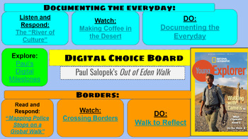
Geography: Digital Choice Board National Geographic Out of Eden
This Digital Choice Board is a great end of year activity for students in middle through high school. It follows Paul Salopek's Out of Eden National Geographic epic walk following the migration of humanity with a particular emphasis on culture and borders. I encourage teachers to visit the website for the journey, which is helpful but without ready-made sources such as this. I had students do this on Kami and submit digitally the last week of school.
Grades:
Not Grade Specific
Plant Life/Nature-Themed Activity Bundle
Great bundle of critical thinking activities for students learning about nature, forestry, National Parks, United States, and more. These worksheets are great for no-prep sub plans and early-finishing students.
Subjects:
Grades:
Not Grade Specific
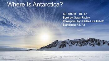
Where Is Antarctica Powerpoint
A Google Slide presentation using the information from the book, Where Is Antarctica. This is intended to be a supplement to the book. There are 70 slides that include questions and answers with page numbers, pictures, and videos related to each topic. I have included the Alabama standards and there is a slide with related topics.The videos are embedded into the PowerPoint but I have also included the link because sometimes the embedded video does not work.Please let me know how you like this re
Subjects:
Grades:
Not Grade Specific
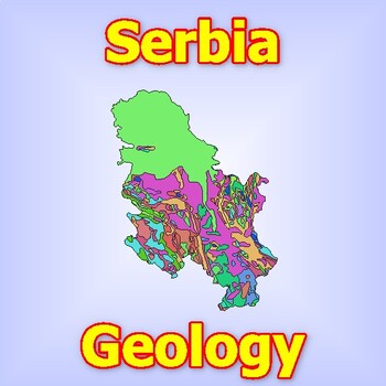
Discovering Serbia's Geological Treasures: An In-Depth Geological Map
Discovering Serbia's Geological Treasures: An In-Depth Geological MapEmbark on an illuminating journey through Serbia's geological wonders with this comprehensive geological map. From the rugged peaks of the Dinaric Alps to the fertile plains of Vojvodina, this map offers a detailed exploration of Serbia's diverse geological landscapes. Each geological feature, from ancient rock formations to modern sedimentary deposits and volcanic remnants, is meticulously depicted, providing researchers, stud
Subjects:
Grades:
Not Grade Specific
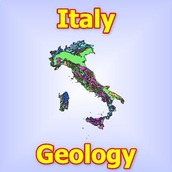
Exploring Italy's Geological Marvels: A Detailed Geological Map
Exploring Italy's Geological Marvels: A Detailed Geological MapEmbark on an enchanting journey through Italy's geological wonders with this detailed geological map. From the towering peaks of the Alps to the volcanic landscapes of Sicily, this map offers a comprehensive exploration of Italy's diverse geological features. Each geological formation, from ancient limestone formations to modern volcanic craters and coastal formations, is meticulously depicted, providing researchers, students, and en
Subjects:
Grades:
Not Grade Specific
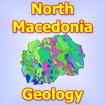
Unveiling North Macedonia's Geological Marvels: A Detailed Geological Map
Unveiling North Macedonia's Geological Marvels: A Detailed Geological MapEmbark on a geological journey through North Macedonia's diverse landscapes with this detailed geological map. From the rugged mountains of the Šar and Osogovo ranges to the fertile valleys of the Vardar and Strumica rivers, this map offers an in-depth exploration of North Macedonia's geological diversity. Each geological feature, from ancient rock formations to modern sedimentary deposits, is meticulously mapped, providing
Subjects:
Grades:
Not Grade Specific
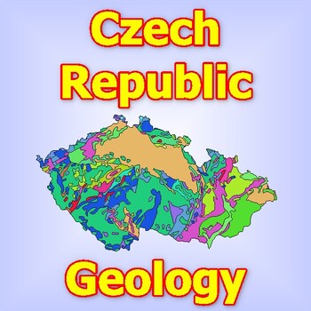
Detailed Geological Map of the Czech Republic: Explore the Geological Structure
Detailed Geological Map of the Czech Republic: Explore the Geological Structure of Czech LandsDive into the geological richness of the Czech Republic with this detailed geological map. From the rugged mountain ranges of the Bohemian Massif to the rolling plains of Moravia, this map provides a comprehensive overview of the geological formations that shape the Czech landscape. Each layer and formation is meticulously depicted, allowing students and researchers to unravel the fascinating geological
Subjects:
Grades:
Not Grade Specific
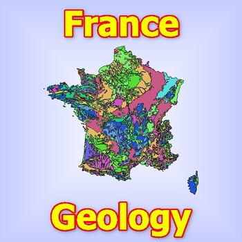
Detailed Geological Map of France Explore the Geological Structure of the Frence
Detailed Geological Map of France: Explore the Geological Structure of the FrenceDiscover the geological complexity and diversity of France with this detailed geological map. From the towering mountains of the Alps and Pyrenees to the fertile plains of the coastal regions, this map gives a clear picture of the geological formations that define the French territory. Each layer and formation is accurately presented, allowing students and researchers to explore this country's fascinating geological
Subjects:
Grades:
Not Grade Specific
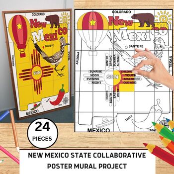
New Mexico State Collaborative Mural Project | Bulletin Board | New Mexico Map
⭐️⭐️New Mexico State Collaborative Mural Project | Bulletin Board⭐️⭐️The New Mexico State Collaborative Mural Project is a class art project designed to encourage collaboration and creativity among students during the testing season. Teachers can print and distribute pages of the mural to students, who will each complete one piece using various art mediums. The completed pieces will be assembled into a stunning collaborative artwork, symbolizing unity and teamwork. This project aims to cre
Subjects:
Grades:
Not Grade Specific
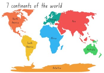
7 Continents of the World Printable Puzzle
DIY Printable Puzzle - 7 Continents of the world
Subjects:
Grades:
Not Grade Specific
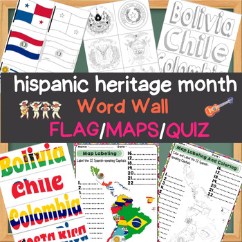
Spanish Speaking Countries of the Caribbean Map Labelin word wall Flag and quizz
Explore the rich tapestry of Spanish-speaking cultures during Hispanic Heritage Month with our comprehensive educational resource. This package features a Word Wall, Flag Maps, and a Quiz that celebrates the diversity and history of Spanish-speaking countries.The Hispanic Heritage Month - Spanish-Speaking Countries Word Wall, Flag Maps, and Quiz include:Word Wall: A collection of vocabulary words related to Spanish-speaking countries, complete with clear definitions and visual aids. Learn about
Grades:
Not Grade Specific
Holidays Around the World BUNDLE
This is a mini unit that explores different holiday traditions across the world. This mini unit explores Kwanzaa, St. Lucia Day, Chinese New Year, Boxing Day and Italy's Folktale of La Befana. Students will complete activites along with a Google Site Blog. Students will write the blog as though they are traveling to these countries for their holiday traditions. Blog requires 2 photos, 2 short paragraphs each day, a biography paragraph and a paragraph explaning the importance of learning about ot
Subjects:
Grades:
Not Grade Specific
Types:
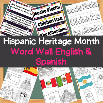
Hispanic Heritage Month - Wonders of Spanish Speaking Countris Word Wall E/S
Create an interactive and educational display for Hispanic Heritage Month with our bilingual Word Wall Bulletin Board. This resource features key terms and vocabulary words related to Hispanic culture, history, and heritage, presented in both English and Spanish for inclusivity and language learning.The Hispanic Heritage Month - Wonders of the Hispanic World Word Wall Bulletin Board includes:Word Wall Cards: A comprehensive collection of essential vocabulary words related to Hispanic heritage, e
Grades:
Not Grade Specific
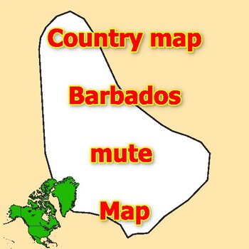
Empty Map of Barbados blank mute Map with outlines of neighboring Countries
Empty Map of Barbados blank mute Map with outlines of neighboring CountriesThis blank map is the perfect opportunity for students and teachers to explore and better understand the geography of the country. The map contains no predefined landmarks or information, but is completely blank with clearly defined county lines. This allows for customization and the addition of county-specific information.The activity encourages student creativity and engagement by providing a map that students can fill
Grades:
Not Grade Specific
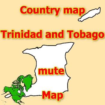
Empty Map of Trinidad and Tobago blank mute Map with outlines of neighboring
Empty Map of Trinidad and Tobago blank mute Map with outlines of neighboring CountriesThis blank map is the perfect opportunity for students and teachers to explore and better understand the geography of the country. The map contains no predefined landmarks or information, but is completely blank with clearly defined county lines. This allows for customization and the addition of county-specific information.The activity encourages student creativity and engagement by providing a map that student
Grades:
Not Grade Specific
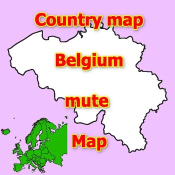
Empty Map of Belgium blank mute Map with outlines of neighboring Countries
Empty Map of Belgium blank mute Map with outlines of neighboring CountriesThis blank map is the perfect opportunity for students and teachers to explore and better understand the geography of the country. The map contains no predefined landmarks or information, but is completely blank with clearly defined county lines. This allows for customization and the addition of county-specific information.The activity encourages student creativity and engagement by providing a map that students can fill i
Grades:
Not Grade Specific
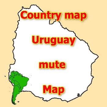
Empty Map of Uruguay blank mute Map with outlines of neighboring Countries
Empty Map of Uruguay blank mute Map with outlines of neighboring CountriesThis blank map is the perfect opportunity for students and teachers to explore and better understand the geography of the country. The map contains no predefined landmarks or information, but is completely blank with clearly defined county lines. This allows for customization and the addition of county-specific information.The activity encourages student creativity and engagement by providing a map that students can fill i
Grades:
Not Grade Specific
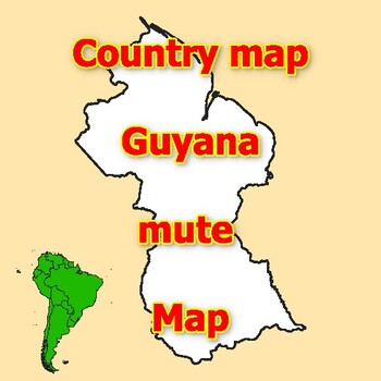
Empty Map of Guyana blank mute Map with outlines of neighboring Countries
Empty Map of Guyana blank mute Map with outlines of neighboring CountriesThis blank map is the perfect opportunity for students and teachers to explore and better understand the geography of the country. The map contains no predefined landmarks or information, but is completely blank with clearly defined county lines. This allows for customization and the addition of county-specific information.The activity encourages student creativity and engagement by providing a map that students can fill in
Grades:
Not Grade Specific
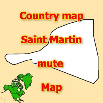
Empty Map of Saint Martin blank mute Map with outlines of neighboring Countries
Empty Map of Saint Martin blank mute Map with outlines of neighboring CountriesThis blank map is the perfect opportunity for students and teachers to explore and better understand the geography of the country. The map contains no predefined landmarks or information, but is completely blank with clearly defined county lines. This allows for customization and the addition of county-specific information.The activity encourages student creativity and engagement by providing a map that students can f
Grades:
Not Grade Specific
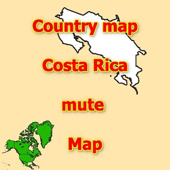
Empty Map of Costa Rica blank mute Map with outlines of neighboring Countries
Empty Map of Costa Rica blank mute Map with outlines of neighboring CountriesThis blank map is the perfect opportunity for students and teachers to explore and better understand the geography of the country. The map contains no predefined landmarks or information, but is completely blank with clearly defined county lines. This allows for customization and the addition of county-specific information.The activity encourages student creativity and engagement by providing a map that students can fil
Grades:
Not Grade Specific
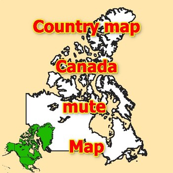
Empty Map of Canada blank mute Map with outlines of neighboring Countries
Empty Map of Canada blank mute Map with outlines of neighboring CountriesThis blank map is the perfect opportunity for students and teachers to explore and better understand the geography of the country. The map contains no predefined landmarks or information, but is completely blank with clearly defined county lines. This allows for customization and the addition of county-specific information.The activity encourages student creativity and engagement by providing a map that students can fill in
Grades:
Not Grade Specific
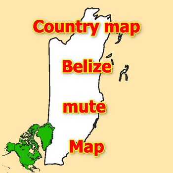
Empty Map of Belize blank mute Map with outlines of neighboring Countries
Empty Map of Belize blank mute Map with outlines of neighboring CountriesThis blank map is the perfect opportunity for students and teachers to explore and better understand the geography of the country. The map contains no predefined landmarks or information, but is completely blank with clearly defined county lines. This allows for customization and the addition of county-specific information.The activity encourages student creativity and engagement by providing a map that students can fill in
Grades:
Not Grade Specific
Showing 1-24 of 62 results


