4,490 results
9th grade geography assessments
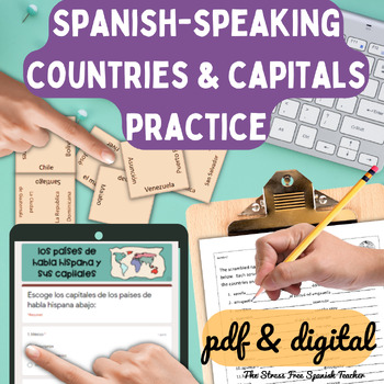
Spanish Speaking Countries Practice Activities Puzzles pdf and digital Worksheet
Help your Spanish students review the Spanish Speaking Countries and Capitals with 11 pdf practice activities, 11 digital practice activities, PLUS 13 quizzes / assessments / activities to choose from (including Google Forms™ quizzes!)No Prep! ⭐️ 1:1 classroom friendly, digital learning friendly. Google Forms™ self grading assessments included.OR⭐️Just print and go!Perfect for Spanish back to school, and to help your Spanish students practice the Spanish-speaking countries all year!✅ What's inc
Subjects:
Grades:
4th - 12th
Types:
Also included in: Build Your Own Bundle of Spanish Resources | Special order for Sydney
Africa: Map Unit Bundle with Outline Maps, Activities, and Map Tests *Save 10%*
This map unit bundle covers the political and physical geography of Africa. Students will learn the countries and major geographic features on the continent of Africa through outline maps and activities. This unit is intended for use in middle or high school.Save 10% by buying the BUNDLE!!!This bundle includes the following products:~ Africa: Political Map Unit~ Africa: Physical Map UnitIncludes:~ Outline (blank) maps with lists of locations for students to label (4 maps total - countries of Nor
Grades:
5th - 10th
Types:
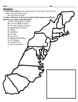
13 Colonies Map Project (8.5x11)
This project has three different differentiated levels for different levels of students, or to have them work up to... This project is set-up to print on 8.5x11 sheets of paper. In the first tier (the easiest), the students are given a map of the thirteen colonies and have to label each colony and then color the Northern/North Eastern Colonies, the Middle Colonies and the Southern Colonies different colors in a map key they create. In the second tier (medium difficulty), the students have to la
Subjects:
Grades:
3rd - 12th
Types:
*English Bundle* - Issues in Canadian Geography, Grade 9 CGC1D (Ontario)
** DISCLAIMER: PLEASE READ ALL THE WAY TO THE BOTTOM TO ENSURE YOU UNDERSTAND EXACTLY WHAT YOU ARE PURCHASING. IF YOU ARE STILL UNSURE, KINDLY POST A QUESTION / SEND US AN EMAIL WE CAN HAPPILY ANSWER BEFORE YOU PURCHASE! **** PLEASE NOTE UPDATES TO THIS COURSE TO MEET THE NEW DESTREAMED GEOGRAPHY GRADE 9 CURRICULUM WILL BE STARTED ONCE THE CURRICULUM DOCUMENT IS RELEASED**Digital Unit: CGC1D - Issues in Canadian Geography Grade 9 (Ontario)From the Ontario Ministry Curriculum Document Canadian an
Subjects:
Grades:
7th - 10th
Types:
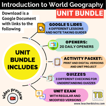
Introduction to World Geography Google Slides BUNDLE and Note Taking Guides
Give your students a SOLID introduction to Geography with Geography Lessons on: Mapping Skills, Topography, 5 Themes of Geography, Standard of Living, and Climate/Earth-Sun Relationship.See Full Preview HEREIncludes:4 Google Slides lessons with notetaking guides: Mapping Skills, Standard of Living, Topography, and 5 Themes of Geography20 daily openers with student worksheetsActivity packet (print, digital, and answers)Create an Island ProjectIntro diagnostic activity that can also be used as a u
Subjects:
Grades:
6th - 11th
Types:
Getting To Know You Through Geography: A Beginning of The Year Carousel Activity
Geography teachers, are you always looking for a great Getting To Know You back-to-school geography activity for the beginning of the year for all ages? This activity will encourage your students to become familiar with their classmates as they work in groups and rotate through various stations. What a great introduction to basic geography skills such as graphs, charts, maps, and the concept of culture. It truly teaches geography skills all the while allowing students to collaborate, have fun, a
Grades:
5th - 12th
Types:
Also included in: Bundle for T. Wilson (25 Geography Lessons)
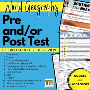
World Geography Pretest and/or Post Test
World Geography Pretest and/or Post TestTest your students’ prior geography knowledge with this pretest. This test is designed to give your students prior to starting your World Geography class, or Geography unit. I also love to give it to my students at the end of the unit or semester as a post test. This is perfect for data analysis. The following topics are covered in 75 questions (matching and fill in)ContinentsOceansYour local geographyFive themes of geographyTopography (land and water f
Subjects:
Grades:
8th - 12th
AP Human Geography - Complete Course Bundle (97% pass rate)
Daily NO PREP complete bell-to-bell lessons and activities for the entire year… everything you need to run a complete and highly-engaging AP Human Geography course! Each 2-3 day lesson is offered in 3 high-quality and visually stunning formats: Google Slides, PowerPoint, and PDF, so teachers can choose how they would like to deliver their daily instruction.*A free lesson example is offered for preview in the "Bonus" box above. ALSO included in this bundle:Bellringers (for the entire year) Daily
Subjects:
Grades:
9th - 12th
Types:
CCSS:
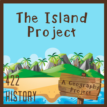
Create Your Own Island Geography Project
This Create Your Own Island Project is a great geography project for all of your students. There is a little something for every type of interest! The Island Project will incorporate map skills and knowledge of geography with writing, art, and a whole lot of creativity. I love using this project to get to know my students better and see some of their skills outside of typical educational experience. In this Island Project, your students will be challenged to design their own “recently discovered
Subjects:
Grades:
6th - 9th
Types:
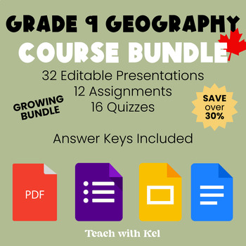
FULL Grade 9 Canadian Geography Course Bundle - Geo Lessons & Assessments
This Grade 9 Canadian Geography Course Bundle has over 1,200 slides of content, 16 quizzes, 12 assessments, and the final exam. The bundle includes 32 slide presentations within 14 Google Drive folders to cover all necessary expectations in CGC1D. Content topics such as: Canadian Political Geography, Natural Disasters, Topographic Maps, Canadian Industries, Resource Management, Population Trends, Exam Review, and more!! 16 Quizzes are included with answer keys to assess student understanding qu
Subjects:
Grades:
7th - 10th
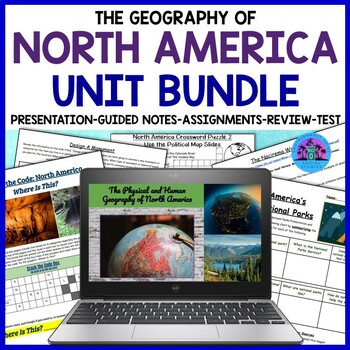
Geography of North America: United States and Canada Unit Bundle
This bundle covers the physical and human geography of North America, focusing on the United States and Canada. The resource includes many worksheets and activities that can be completed digitally or on paper, a Google Slides presentation, guided notes, an instructor's copy of the guided notes, a review sheet, and a test. This resource will help your students learn about the geography of the United States and Canada, from history and geography to culture, economy, and current issues.★☆★Here is a
Subjects:
Grades:
7th - 10th
Types:
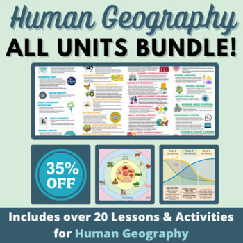
HUGE Human Geography Bundle - Culture, Migration, Political Geo, Urban & Rural
This includes everything in my store - and I will update with anything else I add to my store in 2023! While it's not all that you would need to teach a Human Geography course, it's a great start for a new teacher (or even those of us veteran teachers with multiple preps). I have used these lessons and activities with AP, Honors, and Regular level Human Geography students, both in person, and now as I teach virtually. Note: Please make sure to create copies of any embedded materials (like video
Grades:
7th - 12th
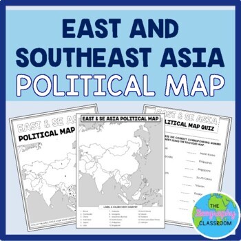
East and Southeast Asia Political Map Set
This set is perfect to use to teach students the countries of East and Southeast Asia.This set includes:TEACHING GUIDE22 editable POWERPOINT SLIDES & GOOGLE SLIDES which guide students through labeling their mapa BLANK POLITICAL MAP of East and Southeast Asia for students to fill out in order to learn and locate the countriesFilled in map / TEACHER KEYPRACTICE map quiz2 differentiated versions of a MAP QUIZ (paper copies)ANSWER KEYS to the map quizzes2 differentiated versions of a GOOGLE FOR
Grades:
6th - 12th
Types:
Also included in: Asia Maps by Region BUNDLE
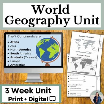
Geography Skills Unit Notes and Map Activities for Continents and Oceans
This is a complete unit for World Geography. This includes world geography notes, activities, and an assessment that are great for helping all learners access grade level content in Geography classes. Students will learn about the parts of a map, what geography is about, the oceans and continents, types of maps, and much more. Students will label the a world map, label a compass rose, and create their own island using the parts of a map that they learn about!Printable and digital versions includ
Grades:
7th - 10th
Types:
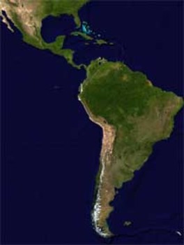
Latin America Mapping Activity
This product is a mapping activity on the region of Latin America. Students will label and color 24 different Latin American Nations as well as draw and label major physical features. When students have completed the map they will then answer 9 questions based on their map.This product also contains a blackline political map of Latin America. I typically make the map a 11x17 making it easier for students to label countries and physical features.This is a rigorous map project that makes the stude
Grades:
6th - 12th
Types:
Also included in: Geography Mapping Activities BUNDLE
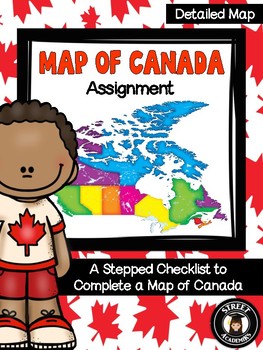
Map of Canada Assignment - Detailed Map
This is a minimal-prep assignment that you can simply photocopy and distribute to students now! The assignment is broken down into 10 steps and is perfect for an applied or academic classroom. The assignment includes a built-in checklist for students to use while completing their maps.
There are two versions of this assignment included in this download – one with and one without the post-it note annotation. There are also two rubrics to reflect both versions of this assignment. You can use the
Subjects:
Grades:
4th - 12th, Higher Education, Adult Education
Types:
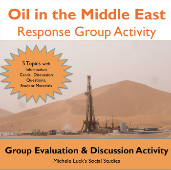
Oil in the Middle East Response Group Activity - Geography
In this response group activity, students learn about the benefits and costs of the Oil in the Middle East. A number of implementation ideas are provided along with the 23 page set to allow students to investigate 5 topics.Content Topics CoveredGeography of the Middle EastThe Processing of OilThe Human ImpactThe Export BusinessWorld ConnectionsAbout this ResourceAll materials are provided and include reading cards for each center, primary sources such as images, charts, and graphs to analyze, a
Grades:
6th - 12th
Types:
Also included in: Modern World History Interactive Lessons Bundle Walking Tours & More
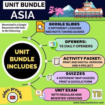
BUNDLE Asia: Slides, map quizzes, openers, note taking guides, activity packet
Give your students a SOLID background in the geography of AsiaCountries in focus: SOUTH ASIABangladeshBhutanIndiaNepalPakistanSri LankaCountries in focus: EAST ASIAChinaJapanMongoliaNorth KoreaSouth KoreaTaiwanCountries in focus: EAST ASIACambodiaIndonesiaLaosMalaysiaMyanmarPhilippinesThailandVietnamSingaporeThis Bundle Includes:3 Google Slides lessons with notetaking guides: South Asia, East Asia and Southeast Asia15 daily openers with student worksheetsActivity packet (print, digital, editable
Grades:
7th - 10th
Types:
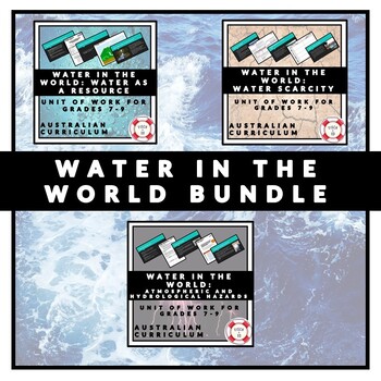
WATER IN THE WORLD BUNDLE
This bundle comprises three units of work which are designed in line with the Australian Curriculum [Geography] Unit One: Water in the World. · Water in the World: Water as a resource· Water in the World: Atmospheric and Hydrological Hazards · Water in the World: Water scarcity The content in this unit is 100% editable and sufficient to cover up to almost a semester of work, or alternatively, modified to suit a shorter time allowance. Detailed unit descriptions can be found below, all units come
Subjects:
Grades:
7th - 9th
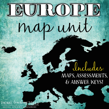
Europe Map Unit with Outline Map and Test
Students will study European geography by learning the countries of Europe and the major bodies of water surrounding the continent. This a great addition to any study of modern world or European history and is intended for use in middle or high school. The map tests are editable to fit your specific needs. The maps are not editable.Includes:~ Europe outline map activity with list of countries and bodies of water (does not include rivers)~ Map key with countries and bodies of water~ Quiz on major
Subjects:
Grades:
6th - 10th
Types:
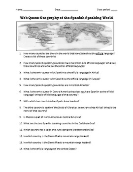
Web Quest: Geography of the Spanish-Speaking World (emergency sub plan)
This activity contains 40 questions in English written in a trivia format. It is excellent if you plan to have a substitute teacher as it will keep your students busy researching answers. The questions can also be useful to motivate class discussion. Includes answer key.
Subjects:
Grades:
5th - 12th, Higher Education, Adult Education
Quarter 1 Pre-AP World History and Geography Principles of Geography Bundle
This bundle is for Pre-AP World History and Geography and includes lessons for G.1, G.2, G.3, G.4, and G.5. They follow College Board pretty closely, using recommended sources and suggested supplementary readings and sources but present them in engaging ways with guided notes, graphic organizers, and a variety of activities. This bundle also includes writing assessments and multiple choice assessments. Most lessons are part lecture, but there is a good mix of independent reading and other activ
Grades:
7th - 10th
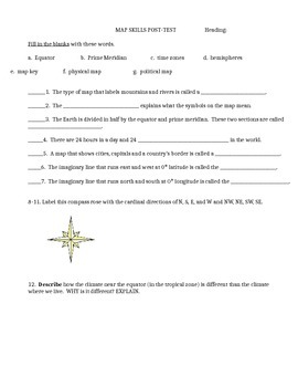
Map skills quiz includes continents, oceans, scale, time zones, latitude & more
This is a social studies assessment for basic map skills for late elementary and middle school students. Skills included are:Map skills vocabulary: equator, prime meridian, times zones, hemisphere, physical map, political map, map keyLabel compass rose and latitude and longitude lines. Matching continents and oceans. Interpret maps-- latitude and longitude, time zones, and grid map. It could also be used as a group activity rather than a test. Feel free to adapt it to your own needs. Answer
Subjects:
Grades:
4th - 9th
Types:
Latin America ❘ Central America Geography ❘ South America Geography Unit Bundle
This unit is a great resource for covering the geography of Central America and South America. It includes a presentation with two Kahoot links, guided notes, multiple assignments, a review sheet, and a test over the physical and human geography of Latin America. The test is included as a Google Doc and as a slef-grading Google Form.This resource will help your students learn about the amazing regions and countries of Mexico, Central America and the Caribbean, Spanish Speaking South America, and
Subjects:
Grades:
8th - 10th
Types:
Showing 1-24 of 4,490 results


