29,111 results
Not grade specific geography resources
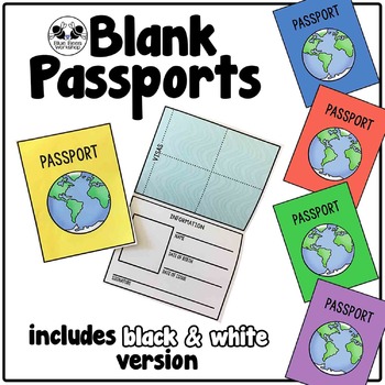
Blank Passport Template
Your students can travel around the world (or the classroom!) with these blank passports. Each passport template prints on one page and is folded to create a booklet with a cover, information page, visa / stamp page, and backing.
♢ Generic, non-country specific
♢ 5 cover colors: yellow, blue, rust, green, purple
♢ Black & white version included
♢ PDF format
You might also like:
Classroom Passport Stamps
Case File Stamps
Thank you for stopping by my store! I appreciate all comments and
Subjects:
Grades:
Not Grade Specific
Types:
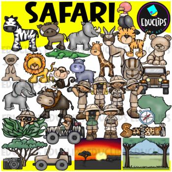
Safari Clip Art Set {Educlips Clipart}
We're on Safari! This set is packed with animals, kids and items you might need for a Safari. Images included are: buffalochimpmeerkatelephantzebrahippogiraffegazellelionlionesshippocrocodilevulturetigersafari kidsjeepscompasscamerabackpacktreemap of Africaevening and day time backgroundThis set contains all of the images shown.64 images (32 in color and 32 in B&W)Images saved at 300dpi in PNG files.For personal or commercial use.Download preview for TOU.This is a zip file. Before purchasing
Subjects:
Grades:
Not Grade Specific
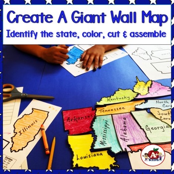
Giant Map of the United States Puzzle After State Testing Activities
Students use this engaging puzzle activity to create a giant United States map. Give your students a fun, engaging hands-on experience to become more familiar with America's 50 states and how they fit together.Students need to identify unlabeled state puzzle pieces by observing their shapes and then arranging them to construct a large US map. An index is provided to limit choices to only a few. The completed map is approximately 28" x 42".**The video (above) was created using the pieces for th
Subjects:
Grades:
Not Grade Specific
Types:
Also included in: The Bundle of America's 50 Great States
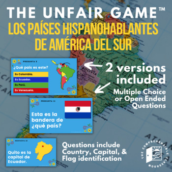
The Unfair Game in Spanish: Spanish Speaking Countries of South America
The game your students will love to hate! This ready-to-play game consists of 25 questions embedded in an interactive Slides presentation featuring questions about the Spanish speaking countries of South America: identifying them by location on the continent, naming their capital city, and identifying their flag.Learn more about The Unfair Game here!TWO versions of the game are provided: one with open-ended questions and one with multiple-choice questions. Use the open-ended questions to review
Subjects:
Grades:
Not Grade Specific
Types:
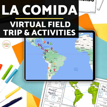
La Comida Explore Food in Spanish-Speaking Countries Virtual Field Trip ENGLISH
Need Spanish 1 sub plans or an activity for your Spanish food unit? This virtual field trip is great for your novice and exploratory Spanish classes to explore Spanish culture and food!The readings are in English and explore a variety of countries and foods. Each reading includes the food's name, and some background . The videos linked are a mix of Spanish and English. Great for novices or introducing your students to a variety of foods in the Spanish-speaking world!Please click here to save 20%
Subjects:
Grades:
Not Grade Specific
Types:
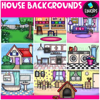
House Backgrounds Clip Art Set {Educlips Clipart}
Get creative with these colorful pictures of rooms in a house. Add people and/or other images to make them come to life! The set includes a living room, dining room, kitchen, bathroom, bedroom, laundry room, front of house, back yard, playroom and a dog house. This set contains all of the images shown.20 images (10 in color and the same 10 in B&W)Images saved at 300dpi in PNG files.For personal or commercial use.Download preview for TOU.©Educlips 2014Follow Educlips on FacebookFollow Educlip
Grades:
Not Grade Specific
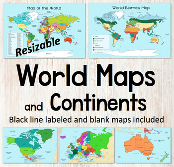
World Map and Continents Maps - World Biomes Map - USA Map - Color and Blank
This is a set of clear colored and black-line maps to use in your lesson preparation and teaching resources. Each of the twelve maps is provided in three versions1. Labeled color2. Labeled black -line3. Blank black-line The maps are orientated as rectangular landscape pages in easy to use PNG files. They feature the land on a blue water background. The images can be inserted into your documents and resized or clipped to focus on certain areas. The maps will remain clear when pulled out to 40
Subjects:
Grades:
Not Grade Specific
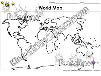
World Map: Continents and Oceans - Blank - Full Page - King Virtue's Classroom
World Map: Continents and Oceans - Blank - Full Page - King Virtue's ClassroomWorking on your unit on Map Skills? This map is the perfect resource for you! Use it to review the 7 continents and 5 oceans with your students.This set includes:1 map sheetEnjoy!:)Copyright © King Virtue’s Classroom • www.kingvirtuesclassroom.com • All rights reserved.
Grades:
Not Grade Specific
Types:
Also included in: Social Studies MegaBundle - King Virtue's Classroom
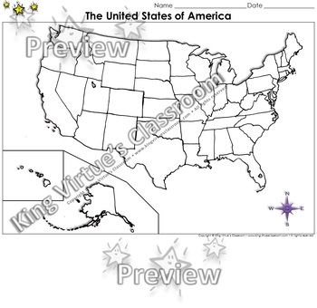
The United States of America Map - Blank - Full Page - King Virtue's Classroom
The United States of America Map - State Lines - Blank - Full Page - King Virtue's ClassroomWorking on your unit on Map Skills? This map is the perfect resource for you! Use it to review The United States of America with your students.This set includes:1 map sheetEnjoy!:)Copyright © King Virtue’s Classroom • www.kingvirtuesclassroom.com • All rights reserved.
Grades:
Not Grade Specific
Types:
Also included in: Social Studies MegaBundle - King Virtue's Classroom
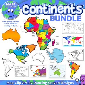
Continents Maps of the World Clipart
Continents: Maps of the Continents
SUPER-VALUE BUNDLE
This BUNDLE map set of the world continents contains the following commercial use graphics:
- Color maps of the world with continents shown
- Black and white line art maps of the world with continents shown
- Maps of the world with each continent highlighted
- Maps of the continents: North America, South America, Australia, Asia, Europe, Africa, Antarctica including maps with countries marked.
- Color and black and white maps.
- Labelled
Grades:
Not Grade Specific
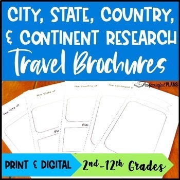
EDITABLE City, State, & Country Travel Brochure Templates Research Project
Get your students excited about social studies research projects with these fun, engaging, and editable travel brochures, rubrics, & checklists templates! There are time-saving trifold research travel brochures, rubrics, & checklists templates available to customize. Students will build research & writing skills by working to create an easy-to-use city, state, country, or continent travel brochure. There is a customizable checklist (self eval & peer edit) and rubric for each of t
Grades:
Not Grade Specific
Types:
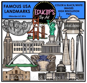
Famous USA Landmarks Clip Art Bundle {Educlips Clipart}
A collection of well known American landmarks. This set features sketched interpretations of various buildings & monuments around the country.
This set includes Mount Rushmore, Golden Gate Bridge, Statue OF Liberty, Space Needle, Jefferson Memorial, Empire State Building, the White House, Lincoln Memorial, Transamerica Tower, Washington Memorial, Freedom Tower, St Louis Arch, Hoover Dam, Alamo, Capitol Building.
30 images (15 in color and the same 15 in B&W)
This set contains all of the
Subjects:
Grades:
Not Grade Specific
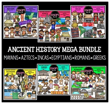
Ancient History Clip Art Mega Bundle {Educlips Clipart}
This is a complete set of 6 sets of ancient history clipart. These sets are: Mayans, Aztecs, Incas, Egyptians, Romans, Greeks.These sets are also available to purchase individually. You are receiving the images at a discount when you buy this mega bundle. Images in this bundle are:Mayans: temple, commoner house, common woman & man, wealthy lady and man, map of Maya region, pottery, priest, warrior, woman making tortillas, woman heating water & word art26 images (13 in color and the same
Grades:
Not Grade Specific
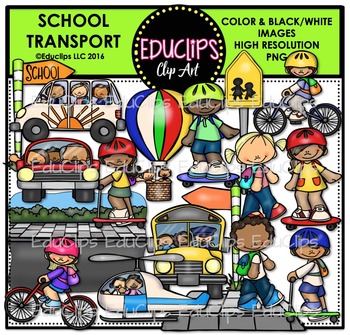
School Transport Clip Art Bundle {Educlips Clipart}
This is a collection of images connected with getting to and from school. The images in this set include children on/in car, scooter, skateboard, bicycle, helicopter, school bus, after school mini van and even a hot air balloon! Also included is a road/sidewalk scene, separate sidewalk, walk to school sign, and school signs. A separate post is included (to give the option to have the sign on its own or on a post.)
38 images (19 in color and the same 19 in B&W)
This set is also available as
Grades:
Not Grade Specific
Also included in: School Big Clip Art Bundle {Educlips Clipart}
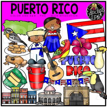
Puerto Rico Clip Art Set {Educlips Clipart}
This is a set of images based on the country of Puerto Rico.The images in this set are:coqui, cuatro, drum, flor de maga, parrot, pasteles, pina colada, plantain, tostones, kids in country clothing, houses, map outline, word art sign, stripe headed tanager, Capillo del Santa Cristo.38 images (19 in color and the same 19 in B&W)These sets contain all of the images shown.Images saved at 300dpi in PNG files.For personal or commercial use.Click here for terms of use.This is a zip file. Before pu
Subjects:
Grades:
Not Grade Specific
Also included in: Countries 3 Clip Art Bundle {Educlips Clipart}
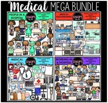
Medical Clip Art Mega Bundle {Educlips Clipart}
This is a collection of 4 sets of medical clipart. The sets in this collection are Medical Tools, Medical Backgrounds, People In A Hospital, Working In A Hospital.The images in each set are:MEDICAL BACKGROUNDSDoctor's office (consulting room), hospital room, hospital, MRI machine, nurse station, nursery, operating room, pharmacy, radiology lab, waiting room.20 images (10 in color and the same 10 in B&W)MEDICAL TOOLSblood bag, blood pressure monitor, clipboard, crutch, digital thermometer, dr
Grades:
Not Grade Specific
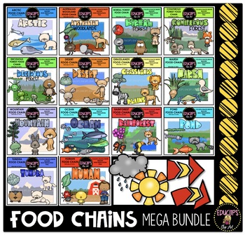
Food Chains Clip Art Mega Bundle {Educlips Clipart}
This is a collection of 14 food chains in different habitats. There is one food chain, one word art sign and one background scene for each habitat.
A sun, rain clouds and arrows are included in this bundle.
The images in each set are:
ARCTIC
Food chain: capepods, Arctic cod, ringed seal, polar bear
Word art & background scene
12 images (6 in color and the same 6 in B&W)
AUSTRLIAN WOODLAND
Food chain: plants, beetle, possum, dingo
Word art & background scene
12 images (6 in color a
Subjects:
Grades:
Not Grade Specific
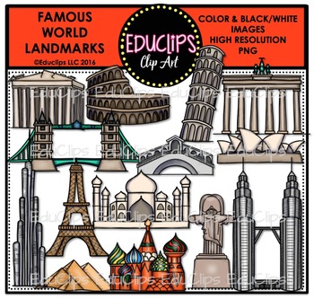
Famous World Landmarks Clip Art Bundle
A collection of well known landmarks around the world. The graphics are a sketched interpretations of monuments and buildings from different countries.
The images included in this set are: Acropolis, Coliseum, Leaning Tower Of Pisa, Brandenburg Gate, Tower Bridge, Rialto Bridge, Sydney Opera House, Burj Khalifa, Eiffel Tower, Taj Mahal, Pyramids, Russia Cathedral, Statue Of Jesus Christ and Petronas Towers.
28 images (14 in color and the same 14 in B&W)
This set contains all of the images
Subjects:
Grades:
Not Grade Specific
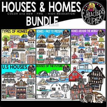
Houses & Homes Clip Art Bundle {Educlips Clipart}
This is a collection of 5 sets of house and homes clipart.The sets in this collection are:Homes Around the World, Homes-Past to Present, Homes of the Future, Types of Homes, US homes.HOMES AROUND THE WORLDThis is a a collection of different homes from around the world.Amsterdam city houseAfrican mud homeBolivian roots and dirt houseCappadocia carved caves (Turkey)Chile wooden stilts housesChinese clay, mud, straw houseNetherlands floating homeFrench houseGreek houseIcelandic houseiglooItalian ho
Grades:
Not Grade Specific
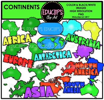
Continents Clip Art Bundle {Educlips Clipart}
This is a collection of hand drawn continents. The continent shapes come in both green as well as a bright color. A world map is included and word art for each continent.
43 images (23 in color and 20 in B&W)
This set contains all of and only the images shown.
Images saved at 300dpi in PNG files.
For personal or commercial use.
CLICK HERE for TERMS OF USE
This is a zip file. Before purchasing, please check that you are able to open zip files and ensure that your zip opening software is up
Subjects:
Grades:
Not Grade Specific
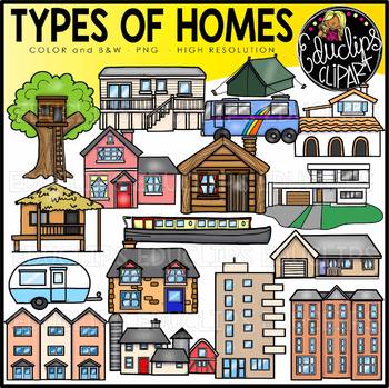
Types of Homes Clip Art Set {Educlips Clipart}
A selection of some of the different types of popular homes available.apartment blocksbungalow (single level house)caravancottagefarmhousecanal narrowboatlog cabinmodern homeRVsingle family hometenttownhousestrailertreehousevilla34 images (17 in color and the same 17 in B&W)This set is also available (at a discount) as part of the HOUSES & HOMES BUNDLE.Images saved at 300dpi in PNG files.For personal or commercial use.Click here for terms of use.This is a zip file. Before purchasing, ple
Grades:
Not Grade Specific
Also included in: Houses & Homes Clip Art Bundle {Educlips Clipart}
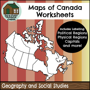
Political and Physical Map of Canada for Students to Label and Colour (10 Maps)
This resource contains 10 worksheets of maps of Canada to support students as they learn to identify and locate all of the provinces, territories, physical regions, and capitals of Canada. This resource is made for 8.5"x11" paper, but could be resized using printer settings to accommodate larger paper. This product contains an ANSWER KEY.Map Worksheets Included:Political map of Canada (Provinces/Territories) with no title and blank legend template.Political map of Canada (Provinces/Territories)
Grades:
Not Grade Specific
Types:
Also included in: Grade 4 Ontario Social Studies Workbook Bundle
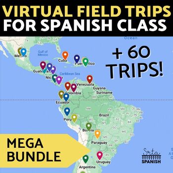
Virtual Field Trip Interactive Map Spanish Culture and Geography Activity BUNDLE
Let your students explore geography around the world! Content is discovered via interactive Google Maps through images, short readings, and videos! Time saver for you and engaging for students! Use this resource if you have devices in your classroom!Each resource includes an interactive map with short readings, and images or videos to help them explore content and geography at the same time! RESOURCES INCLUDED:❁ CountriesArgentina Digital Activities In EnglishArgentina Digital Activities in Span
Subjects:
Grades:
Not Grade Specific
Types:
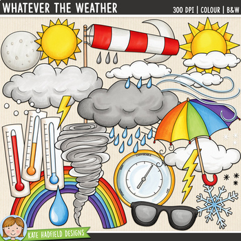
Weather Clip Art: Whatever the Weather (Kate Hadfield Designs)
Weather Symbols clip art and line art bundle!"Whatever the Weather" includes 31 weather clipart illustrations created from my original hand painted artwork! Each illustration is supplied as a full colour png, as well as black and white outline versions (in png format). All images are 300 dpi for best quality printing. Mix and match the various clouds and precipitation illustrations to create a number of different weather conditions!WHATEVER THE WEATHER includes the following illustrations:• baro
Subjects:
Grades:
Not Grade Specific
Showing 1-24 of 29,111 results


