10 results
Geography interactive notebooks on sale
Africa Geography: Africa Interactive Notebook
This Africa Interactive Notebook is a great way to cover many topics related to Africa's physical features and landforms, climate, economics, government, and culture in over a week. Students will understand the physical and cultural aspects of Africa as well and gain knowledge on how the GDP can influence a country, both developed or developing. Government types will be compared and studied as well. The student will have fun with this interactive notebook as they work in cooperative groups to co
Subjects:
Grades:
5th - 12th
Types:
Also included in: Interactive Notebook Bundle + 3 Freebies
Africa Geography: A Long Walk to Water Interactive Notebook (LOST BOYS)
This lesson is easy enough for 5th graders to understand yet works well with students up to grade 12. Modifications can be made as needed. This Africa book study unit is written based on the story of the Lost Boys in the book: A Long Walk to Water. This is a great way to study Sudan and its struggles throughout the years. It teaches how the goodwill of one person can have a domino effect and change the lives of many while exploring the geographical aspects, environmental issues, political issues
Subjects:
Grades:
7th - 12th, Higher Education
Also included in: Interactive Notebook Bundle + 3 Freebies
Interactive Notebook Bundle + 3 Freebies
This bundle includes 4 interactive notebooks + 3 freebiesA Long Walk to Water Book Study (Africa)Let's Map It (Map Skills)European Interactive NotebookAfrica Interactive NotebookClick on each to learn more about each resource.OR BUILD YOUR OWN BUNDLE HERE
Grades:
7th - 12th
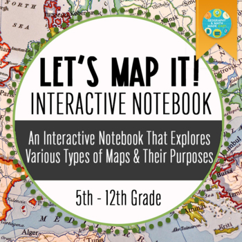
NEW! Let's Map It! Maps & Projections Interactive Notebook, Includes PowerPoint
Students will become familiar with 11 maps and 4 map projections. This is an interactive notebook activity that students can use throughout the year to refer. It is suggested that students complete 3-4 per class period. This is more than simply reading the maps, but asking questions that will have students become familiar with and be able to recognize and make connections. This lesson asks connection questions such as: What does the word "plat" mean? What do you think this is called a plat map?
Grades:
6th - 12th
Also included in: Interactive Notebook Bundle + 3 Freebies
NEW! Europe Geography Bundle + 2 Freebies
Bundle & Save!This bundle includes our 5 best-selling Europe Geography Lessons + 2 FreebiesEastern & Western Europe Scavenger HuntExamining Political and Protest Music During the Fall of the USSR, Cold WarEuropean Interactive NotebookThe Ukraine Crisis 2022Geography & Europe Map Quizzes+ 2 Freebies.OR BUILD YOUR OWN BUNDLE HERE
Grades:
7th - 12th
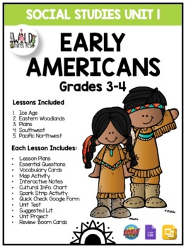
4th Grade Social Studies Unit 1: Native Americans
I am so excited about this product! This unit is packed full of fun and will help your kids enjoy social studies! It is a huge, COMPLETE unit that has everything you need to teach a social studies unit about early Native Americans. The unit includes seven lessons. Depending on your state standards, this unit is appropriate for upper elementary (3-5). This unit has materials that can be printed and/or adapted for distance learning as well. Activities can be completed during your social studies bl
Grades:
3rd - 6th
Europe Geography — European Interactive Notebook with QR Codes
LESSON: EXPLORING EUROPE INTERACTIVE NOTEBOOKGRADE LEVEL: 6-8thTIME FRAME: Five 60-MINUTE CLASS PERIODS (5 HOURS) TYPE OF ACTIVITY: GROUP COOPERATION OR INDIVIDUAL ACTIVITYOBJECTIVE:o The learner will identify major landforms of Europe.o The learner will compare Western Europe with Eastern Europe.o The learner will explore developed and developing European countries.o The learner will understand the balance of powers in various types of government in Europe.o The learner will understand vario
Subjects:
Grades:
5th - 9th
Types:
Also included in: Interactive Notebook Bundle + 3 Freebies
Geography: Creating a Culture Using 5 Geographical Themes Interactive Notebook
Have your student work cooperatively to use their prior knowledge of five (5) geographical themes knowledge to create a culture — location, place, movement, human-environment interaction, and region. Through this lesson, students will learn all the characteristics of culture. For students to be successful in playing this game, students must have a working knowledge of the five geographical themes.OBJECTIVE:Students will review the five geographical themes.Students will be able to apply the five
Grades:
6th - 12th
Types:
Also included in: Bundle for T. Wilson (25 Geography Lessons)
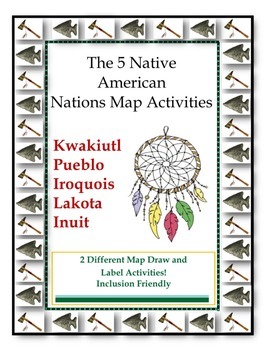
5 Native American Nations Map Activity
QUICK AND EASY ACTIVITY!This map activity will have your students coloring and labeling a map with the location of the 5 Native American Indian Nations. Two maps are included, one is in black and white and geared to the general education student who is able to identify the regions and draw them on the map. The other map is pre-colored and modified to meet the needs of students who demonstrate difficulties with perception or coloring. The student will label the map of the Native American India
Subjects:
Grades:
4th - 6th
Also included in: 5 Native American Nations Bundle: Assessments, Resources, and Foldables
Landmarks Facts Interactive Activity Companion
Simple Interactive activity to achieve your academic objectives. If you are looking to improve your students skills in Geography here is the resource you need. Here is a Fact Sheet Assessment to create your activities for your students. They will have fun with geography an learn a lot too.
Use with this product for a complete experience: https://www.teacherspayteachers.com/Product/United-States-Landmarks-Poster-Set-2895039
This Product includes the following landmarks:
Alamo
Capitol Bui
Grades:
5th - 12th, Higher Education, Adult Education
Showing 1-10 of 10 results


