2,396 results
Geography independent work packet pdfs
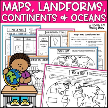
Maps & Globes Continents Oceans Map Skills Worksheet World Map Activity Landform
Interactive Notebooks are a wonderful tool for providing hands-on experiences for learners. This Maps, Continents, and Landforms Interactive Notebook is no exception! The packet is easy to use for both student and teacher. ✅ Click HERE to SAVE 20% on this resource with the Maps, Continents, and Landforms unit and poster bundle!✅ Click HERE to SAVE even more by buying ALL 15 Social Studies Interactive Notebooks and Mini Units in one Year-Long Bundle.Click on the PREVIEW button above to see all t
Grades:
3rd - 5th
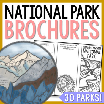
NATIONAL PARK Research Projects | USA American Landmarks Report Activities
This bundle of 30 national park brochure projects is a fantastic way for your students to explore a huge variety of landscapes across North America. Each no-prep activity can be completed in a few different ways. You can provide your students with the information to fill out their brochures, or have them find the information through Internet research. If your students are inexperienced with Internet research, guide them through the process by projecting a search that you lead. NPS.gov and Britta
Grades:
3rd - 8th
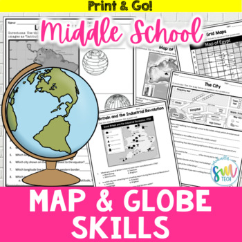
Map and Globe Skills Worksheets (6th, 7th, 8th Grades)
Your students will love reviewing map and globe skills with this engaging, no prep worksheet packet! It's great to use during the back-to-school weeks. Plus, it’s so easy to use that you can even leave it for sub plans or homework packets!Resource Includes: 12 worksheets & answer keysCardinal and intermediate directionslatitude and longitudegrid maps: reading & creatingphysical maps: reading & drawing conclusionsgraphic scales: to determine distancesmap keys: to acquire informationAn
Subjects:
Grades:
5th - 8th
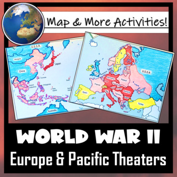
World War II: Map Coloring & Labeling Activities- Europe & Pacific Theaters!
This World War II Map Activity includes two map activities that include blank maps, student direction sheets, follow-up map tasks, and completed sample maps to use as reference. One map activity focuses on Axis Expansion in EUROPE and one on Axis Expansion in ASIA (The Pacific). They can be used with many different age groups, learning styles, and independently- great addition to your WWII unit!**Note: These maps focus on the peak of Axis power/control during WWII. Please see the completed ma
Grades:
5th - 10th
Also included in: US History / American History BIG BUNDLE of Resources! NO-PREP!
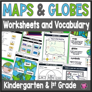
Maps and Globes Worksheets - 1st Grade Map Skills - Kindergarten Mapping Skills
Introduce and teach kindergarten and first grade students all about Maps and Globes, Cardinal Directions, Landforms, and Bodies of Water using this fun and engaging geography unit! These map skills worksheets cover landforms, oceans, relative directions, maps, globes, map keys and symbols, compass rose, Venn Diagrams, 24 geography words, and let your students design their own maps. These maps and globes activities are designed to use with ANY social studies curriculum!Students will practice, cre
Grades:
K - 1st
CCSS:
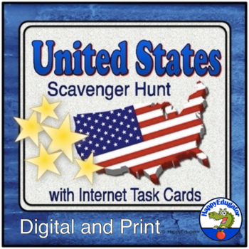
United States Scavenger Hunt Internet Task Cards with Maps
United States Scavenger Hunt Handout and Internet Task Cards. Includes a fun fill-in-the-blank geography hunt of the United States, five U. S. maps, and 30 task cards for exploring the internet. On the scavenger hunt sheet, students will need to use a US map (included) and will have to use their map skills to answer the questions. There are 30 blanks worth 3 points each, and one bonus question. Answer Key included. Also includes 30 internet task cards and a recording sheet. Digital Resource an
Subjects:
Grades:
4th - 6th
World Map Practice Activities BUNDLE | 11 Continents and Regions | Google
End the cycle of bored students copying from books to label maps! Your classes will think critically with these engaging practice activities. First, they answer geography questions by analyzing various physical & political maps covering 11 different world regions. Then, a drag & drop challenge assesses their learning of the locations. Each world region includes a printable worksheet that takes labeling maps to the next level! Students create a map using only absolute & relative locat
Subjects:
Grades:
5th - 12th
CCSS:
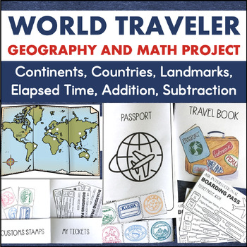
Country Research 3rd 4th Grade Math Geography Enrichment Project 7 Continents
This is a cross-curricular learning project that integrates social studies, math, geography, research, and writing. It is a great activity for the end of the year or enrichment any time!To complete this project, students travel to different continents as they take a world tour of six different countries. Through their travels, they will learn the location of these countries along with important facts about the culture. The countries students will visit and learn about include:AustraliaBrazilChin
Subjects:
Grades:
3rd - 4th
Also included in: Travel Project Bundle Country Research PBL STEM Challenges
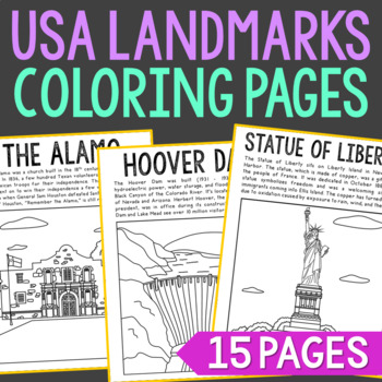
USA LANDMARKS Coloring Pages Activity | Bulletin Board Decor Posters
Set of 15 Famous USA Landmarks with Informational Text Coloring Pages or Posters. Makes a great addition to history interactive notebooks, biography projects, or research units. Keep these in your early finisher folder for no-prep fun.CLICK HERE to save 30% on this resource in the American Landmarks Bundle!Famous USA Landmarks Included: The AlamoCloud GateEmpire State BuildingFreedom TowerGateway ArchGolden Gate BridgeThe Grand CanyonHollywood SignHoover DamLas Vegas StripMount RushmoreSpace Nee
Grades:
2nd - 5th
Geography Around the World Christmas Map Activity
Students will review map and research skills (cardinal directions, latitude, longitude) and what they learned about political and physical geography by helping Santa and his reindeer get from one location to another to deliver presents. There are 25 questions and each answer is a different location in the world (country, city, body of water, etc). Students will then map each location Santa went to and then send him to 4 of their own design. The answers are included and if your students have a
Subjects:
Grades:
6th - 9th
Also included in: World Geography Full Course Bundle
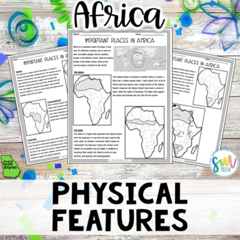
Geography in Africa Reading Activity Packet (SS7G1, SS7G1a) GSE Aligned
Your students will love learning about different physical features found in the Africa with this engaging, no prep reading activity! This is perfect for adding literacy to your social studies curriculum because it’s academically-aligned for ELA and for social studies. Plus, it’s so easy to use that you can even leave it for sub plans or use for homework packets! Resource Includes:➊ Passage (leveled for 7th grade)➋ Map Activities➌ Fill-in-the-Blank Activity ➍ Application of Knowledge Activity ➎ A
Grades:
7th
Also included in: Geography in Africa Reading BUNDLE (SS7G1, SS7G2, SS7G3, SS7G4) GSE
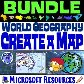
World Geography Create a Map BUNDLE | Absolute & Relative Location Clues WS
End the cycle of bored students copying from a book to label maps! This BUNDLE of Create-a-Map Worksheets takes labeling maps to the next level! Challenge your class to think critically by creating 11 maps of various world regions using only absolute & relative location clues. Easy-to-follow directions make these a fun way to integrate mapping in your classroom! Everything you need is included! Includes Printable Resources: Microsoft & PDF11 "Where is it?" Clues Worksheets11 Printable Ma
Subjects:
Grades:
5th - 12th
CCSS:
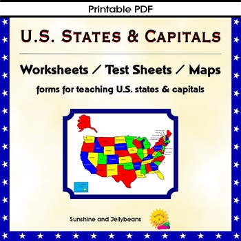
U.S. States & Capitals Maps, Worksheets, Assessments - U.S. Geography Practice
Teach the U.S. states and capitals easily with this set of U.S. maps, worksheets and assessments. This resource can be used independently or to supplement other U.S. states and geography curriculum. Perfect for both classroom and homeschool!Includes: Reference list of all the states with their capitalsBlack and white Map of the U.S. with states and capitals labeledBlank map of the U.S. for practiceColor map of the U.S. with states labeledPractice sheets to match the state with the capitalTest s
Grades:
4th - 7th
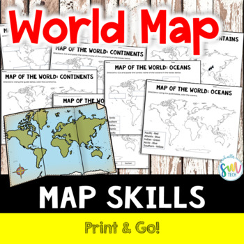
LABEL MAP OF THE WORLD: Continents, Oceans, Mountain Ranges! NO PREP!
Your students will love learning about mountain ranges, oceans, and continents with this engaging, no prep reading activity! This is perfect for adding literacy to your social studies curriculum because it’s academically-aligned for ELA and for social studies. Plus, it’s so easy to use that you can even leave it for sub plans or homework packets!Resource Includes: Label Map with Word Bank (Continents, Oceans, and Mountain Ranges)Color Map (Continents, Oceans, and Mountain Ranges)Cut and Paste (C
Subjects:
Grades:
K - 4th
50 States Comprehension Passages {Print & Go}
<--See my 50 States Category Link over to the left side of my store for more 50 States products!See preview for one state and the two questions pages, notice they are the same except the RAPP instructions. This is what will be included for ALL 50 states, making up 150 pages.FREE SAMPLEThis set of reading comprehension passages includes FIFTY reading passages, plus short answer comprehension questions for each passage. There are 5 short answer questions and one longer response question for eac
Grades:
2nd - 5th
Also included in: 50 States Bundle
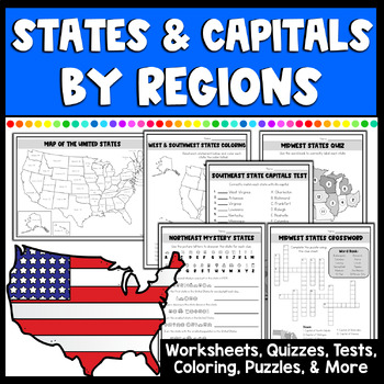
50 States and Capitals Worksheets, Tests, Activities & More by Regions
Make learning all 50 states & capitals by regions fun & engaging with this amazing set full of multiple different activities. This NO PREP set has everything you will need with maps, study guides, matching states and capitals, mystery state pages with clues, coloring locations, crossword puzzles, quizzes, tests & more! 45 pages of fun activities for learning all about the United States by regions: Northeast, Southeast, Midwest, West, and Southwest state regions.What's included in the
Grades:
3rd - 8th
Also included in: States & Capitals Activity Bundle | Worksheets, Game, & Boom Cards
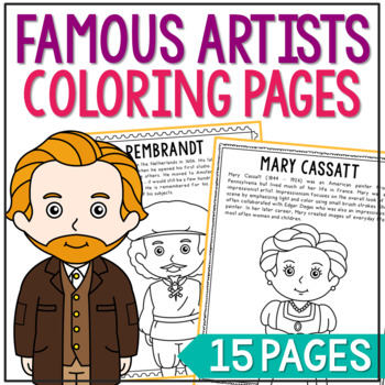
FAMOUS ARTISTS Coloring Pages | Famous Artist Worksheets | Art History Activity
Set of 14 Famous Artists with Informational Text Coloring Pages or Posters. Makes a great addition to history interactive notebooks, biography projects, or research units. Keep these in your early finisher folder for no-prep fun.CLICK HERE to save 25% on this resource in the Famous Artists Bundle!FAMOUS ARTISTS INCLUDED:Vincent Van GoghSalvador DaliRembrandtRaphael SanzioPablo PicassoMichelangeloJackson PollockHenri MatisseGeorgia O'KeeffeFrida KahloClaude MoneyAuguste RenoirAndy WarholMary Cass
Grades:
2nd - 5th
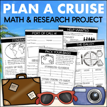
PLAN A CRUISE Vacation Budget Math Project Country Research 4th Grade Enrichment
This Plan A Cruise learning experience lets students become travel agents and design a fun-filled vacation for their classmates. They will use important skills like research, planning, time management, budgeting, and organization to create their one-of-a-kind trip. Each page in their cruise plan book requires students to use academic skills to plan their trip of a lifetime.To complete this project, students will work through the following activities:WORDS TO KNOWThis page includes important word
Grades:
3rd - 4th
Also included in: 4th Grade Math Projects The End of the Year Plan A Cruise & Plan A Party
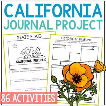
CALIFORNIA State History Research Project Activity | Social Studies Worksheets
Save tons of prep time with this comprehensive CALIFORNIA state history research project that's perfectly suited for independent work. You'll find 8 organized modules with 86 differentiated student pages. This complete notebook unit is the perfect companion to your annual state studies. Your students will use the internet to research a variety of topics to include: economics, government, geography, politics, current events, higher education, weather, historical figures, Native Americans, state s
Grades:
4th - 7th
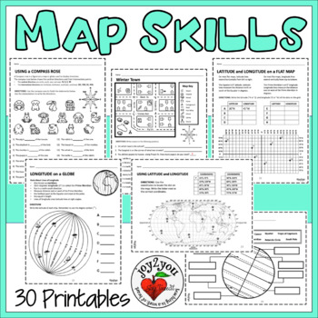
MAP SKILLS UPDATED Worksheets 30 Page Comprehensive Unit
COMMENTS FROM BUYERS: ❤️ I found these resource pages a great way to reinforce what the students were learning in class. It gave them a great hands-on experience after reading difficult text. Thanks so much!❤️This is a really great option to use for in-class work! My students seemed to really enjoy the practice involved here and it kept them busy and thinking about the questions they were trying to answer. Thanks!❤️I was able to create stations from this resource to help students reinforce not
Grades:
3rd - 6th
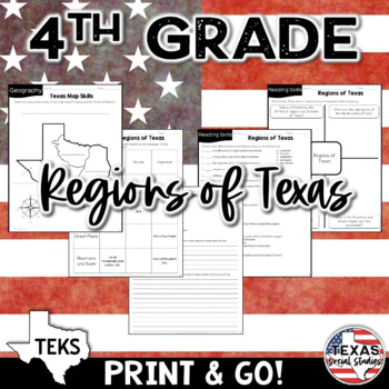
Physical Regions of Texas (Identify, Locate, Describe) | TEKS 4.6A
This no prep reading activity includes 2 graphic organizers, a vocabulary matching activity, multiple choice questions, and short answer writing prompts, as well as a mapping activity. Your students will be engaged while learning about environmental regions of Texas! If you're wanting to integrate social studies into your ELA curriculum, this is perfect because it's academically aligned for both subject areas. You can even leave it for sub plans or homework packets!TEKS standard: (6) Geography.
Subjects:
Grades:
4th
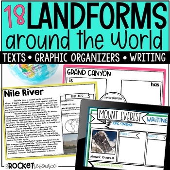
Landforms Activities | Famous Sites Around the World
Visit famous sites around the world with these engaging landforms activities! These landform worksheets and interactive digital activities take students on an adventure to visit 18 of the world's most famous landforms! Landforms included are Mount Everest, Grand Canyon, Florida Keys, PukaPuka, Hubbard Glacier, Gulf of Mexico, Iwo To, Mount St. Helens, Nile River, Gobi Desert, Angel Falls, Sahara Desert, Dead Sea, Victoria Falls, Great Plains, Death Valley, Mississippi River, and Mammoth Cave.P
Subjects:
Grades:
3rd - 5th
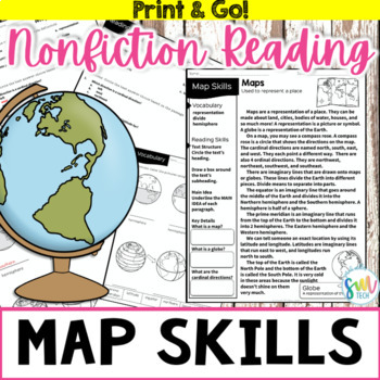
MAP AND GLOBE SKILLS Nonfiction Reading w/Activities 3rd, 4th, 5th
Your students will love learning about map and globe skills with this engaging, no prep reading activity! This is perfect for adding literacy to your social studies curriculum because it’s academically-aligned for ELA and for social studies. Plus, it’s so easy to use that you can even leave it for sub plans or homework packets!Resource Includes: Passage (Leveled for 3rd/4th grade)Label GlobesTicket out the DoorFact or OpinionMain Idea & Key Details Matching Activity Multiple Choice Activity
Subjects:
Grades:
3rd - 5th
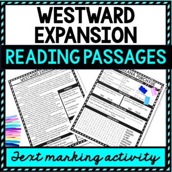
Westward Expansion Reading Passages, Questions and Text Marking + Word Search
Grab the highlighter and have some interactive fun with the Westward Expansion Reading Passages, Questions and Text Marking Activity! Ensure understanding with different types of reading comprehension questions. Topics include: Westward Expansion, Louisiana Purchase, California Gold Rush, Transcontinental RailroadWhat’s Included?✔️ 4 Non-Fiction Reading Passages with Questions ✔️ Text Marking Key✔️ Teacher Directions✔️ Student Directions✔️ Answer Keys✔️ Words to Know List✔️ Word SearchWhat types
Grades:
4th - 8th
Showing 1-24 of 2,396 results


