51 results
Elementary geography resources for Microsoft Excel

Regions of Texas Poster
This basic poster of the Regions of Texas is editable and can be scaled to fit whatever size you need. Directions for scaling the poster are included. This is a great resource for 4th and 7th grade Texas History classes or any Texas elementary classroom.
Grades:
K - 7th
Types:
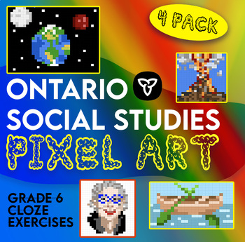
Ontario Grade 6 Social Studies Pixel Surprise Pack
4 cloze exercises explicitly linked to the grade 6 curriculum for social studies. Students fill in the correct answers on Google Sheets to reveal a surprise picture. Topics covered in this pack:Canada's fur tradeNGOs and CanadaChinese workers on the CPR, Chinese head tax and Chinese Exclusion ActNatural DisastersThe pack contains sheets for students and an answer key for teachers. Students receive letter spacing cues to indicate the length of the missing word. This resource was designed to match
Grades:
5th - 7th
Types:

Plan a Family Vacation--$5,000 Budget
Students will have fun with this real life budgeting lesson as they plan their very own family vacation. Students must budget for the family members that live in their household, and must stay with a $5,000 limit. There is a Presentation to discuss all the rules and an excel sheet to help with their totals. As they plan their trip students can create a PowerPoint or a Google Slide that documents their itinerary. The presentation needs to include all expenses and their total cost of the trip
Subjects:
Grades:
4th - 12th
Types:
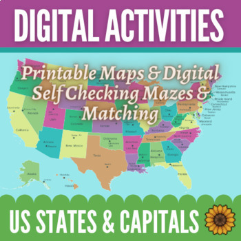
Learning Capital Cities of US by Regions Maps & Activities - Digital and Print
Make learning the states and their capitals easy and fun! This bundle includes 12 printable maps of the entire United States as well as maps of the regions by themselves. There are also 8 digital, self-correcting activities to help your students practice connecting the states with their capitals. Students love the colorful matching and maze activities to learn their capitals! You can use the maps in any way you would like. There are fully labeled maps as well as blank maps with stars in the loca
Subjects:
Grades:
4th - 6th
Types:
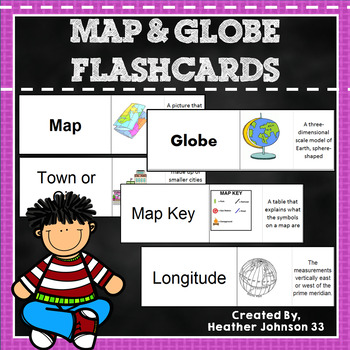
Map and Globe Flash Cards
Thirty-eight Map and Globe flash cards. These flash cards include words such as map, globe, atlas, longitude, latitude, map key, symbol, equator, hemisphere, island, cartographer, capitol, town/city, country, etc. Each definition has a picture (mostly bright and colorful) which makes it fun and helps visual learners. Kids can play memory, match the words/definition with a partner, use it as a center, or work independently. They are in an excel document and can be printed on cardstock or regular
Subjects:
Grades:
1st - 5th
Types:
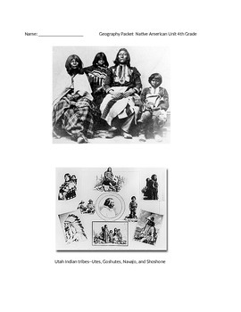
Native American Unit 4th Grade
This packet is focused on the Utah Core Curriculum for geography. It describes each main native american group that was based in Utah. There are questions after each lesson.
In order to print this correctly, you must open the file, then download it. This is an excel document. Once you download it, it will print correctly, and not cut off the pages. If you have questions, please e-mail me.
Subjects:
Grades:
3rd - 5th
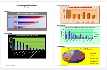
Continent Table Ver3 All Continents Full Pack Tech Lesson Plans&Mat.
A great way to learn about all the continents!
This lesson is in my Level 5 Curriculum Progression.
Recommended for Fifth through Twelfth Grade
Uses Microsoft Excel, but can be adapted for other spreadsheet software.
Summary of Creation: Students use the CIA World Factbook website to find information about all the countries of a specified continent and display the data in a table in an Excel spreadsheet.
Summary of Analysis: Using the table created in Continent Table Version 3 Creation or the
Grades:
5th - 12th
Types:
Sahara Desert Sorting
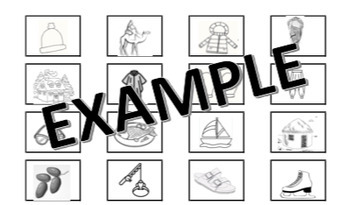
This activity is perfect when you're learning about how geographic location affects characteristics of people's lifestyles. INCLUDES GRAPHIC ORGANIZER TO SORT PICTURE CARDS INTO. The picture cards include clothing, food, housing, and activities for students to sort into Sahara Desert Region and Not Sahara Desert Region boxes. This is geared towards a collaborative piece, but can be used for an independent piece also.
Subjects:
Grades:
K
Types:
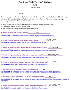
Continent Table Ver 3 Analysis Pack Tech Lesson Plans and Materials
A great way to learn about all the continents!
Summary: Using the table created in Continent Table Version 3 Creation or the Continent Table Version 3 Analysis Optional Student File, students use formulas and data sorting to analyze and answer questions about the countries of the continent.
This lesson is in my Level 5 Curriculum Progression.
Recommended for Fifth through Twelfth Grade
Uses Microsoft Excel, but can be adapted for other spreadsheet software.
Files Included:
Teacher Instructio
Grades:
5th - 12th
Types:
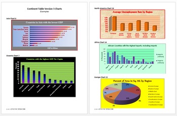
Continent Table Ver 3 Charts Pack Technology Lesson Plans and Materials
A great way to learn about all the continents!
Summary: Using the table created in Continent Table Version 3 Creation or the Continent Table Version 3 Analysis Optional Student File, students create charts to display selected information about the countries of the continent.
This lesson is in my Level 5 Curriculum Progression.
Recommended for Fifth through Twelfth Grade
Uses Microsoft Excel, but can be adapted for other spreadsheet software.
Files Included:
Teacher Instructions (pdf)
Studen
Grades:
5th - 12th
Types:
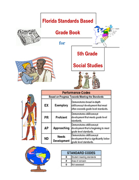
Florida Standards Based Social Studies Grade Book for 5th Grade
The Strand, the Cluster, and the Florida Standards for American History, Geography, Economics,NS Civics, and Government. Since we all follow the same standards you can change the word Florida to the state of your choice. Our Standards Based report card does not actually show the parents and students the standards. It shows the 4 broad Strands with the Clusters the for each stand following. The grade book that I have created will help teachers and parents see how students perform when each stand
Grades:
5th
Continent Table Ver 3 South America Pack Tech Lesson & Materials
A great way to study South America!
Summary of Creation: Students use the CIA World Factbook website to find information about all the countries of a specified continent and display the data in a table in an Excel spreadsheet.
Summary of Analysis: Using the table created in Continent Table Version 3 Creation or the Continent Table Version 3 Analysis Optional Student File, students use formulas and data sorting to analyze and answer questions about the countries of the continent.
Summary of Char
Grades:
5th - 12th
Types:
Continent Table Ver 3 North America Pack Tech Lesson & Materials
A great way to study North America!
Summary of Creation: Students use the CIA World Factbook website to find information about all the countries of a specified continent and display the data in a table in an Excel spreadsheet.
Summary of Analysis: Using the table created in Continent Table Version 3 Creation or the Continent Table Version 3 Analysis Optional Student File, students use formulas and data sorting to analyze and answer questions about the countries of the continent.
Summary of Char
Grades:
5th - 12th
Types:
Continent Table Ver 3 Asia Pack Tech Lesson Plans & Materials
A great way to study Asia!
Summary of Creation: Students use the CIA World Factbook website to find information about all the countries of a specified continent and display the data in a table in an Excel spreadsheet.
Summary of Analysis: Using the table created in Continent Table Version 3 Creation or the Continent Table Version 3 Analysis Optional Student File, students use formulas and data sorting to analyze and answer questions about the countries of the continent.
Summary of Charts: Using
Grades:
5th - 12th
Types:
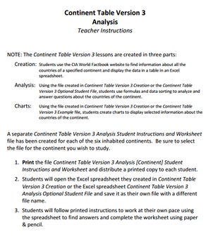
Continent Table Ver 3 Oceania Pack Tech Lesson & Materials
A great way to study Oceania!
Summary of Creation: Students use the CIA World Factbook website to find information about all the countries of a specified continent and display the data in a table in an Excel spreadsheet.
Summary of Analysis: Using the table created in Continent Table Version 3 Creation or the Continent Table Version 3 Analysis Optional Student File, students use formulas and data sorting to analyze and answer questions about the countries of the continent.
Summary of Charts: Us
Grades:
5th - 12th
Types:
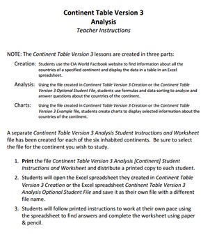
Continent Table Ver 3 Europe Pack Tech Lesson & Materials
A great way to study Europe!
Summary of Creation: Students use the CIA World Factbook website to find information about all the countries of a specified continent and display the data in a table in an Excel spreadsheet.
Summary of Analysis: Using the table created in Continent Table Version 3 Creation or the Continent Table Version 3 Analysis Optional Student File, students use formulas and data sorting to analyze and answer questions about the countries of the continent.
Summary of Charts: Usi
Grades:
5th - 12th
Types:
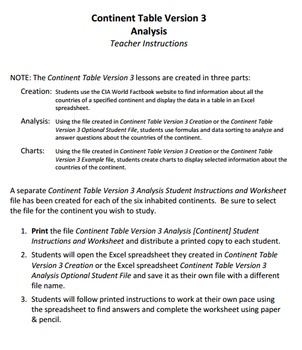
Continent Table Ver 3 Africa Pack Tech Lesson Plans & Materials
A great way to study Africa!
Summary of Creation: Students use the CIA World Factbook website to find information about all the countries of a specified continent and display the data in a table in an Excel spreadsheet.
Summary of Analysis: Using the table created in Continent Table Version 3 Creation or the Continent Table Version 3 Analysis Optional Student File, students use formulas and data sorting to analyze and answer questions about the countries of the continent.
Summary of Charts: Usin
Grades:
5th - 12th
Types:
"Where in the World?" Social Studies, Computer Technology
General Description: Using a free online game which uses Google Earth images, this lesson will give students an opportunity to create a table, increase their geographical knowledge, and practice using research skills. This is an individual student lesson which allows each student to engage with the world in which they live. A great activity for all upper elementary through high school in regular and home school education.This can be used as a one time lesson, an ongoing warm-up activity, a guest
Subjects:
Grades:
5th - 8th
Types:
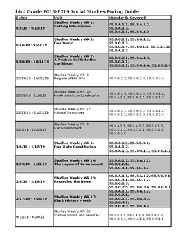
Florida Studies Weekly Year Long Pacing Guide
This product includes a year long pacing of the Studies Weekly newspapers and the standards that they cover. Not all newspapers are covered, but ALL the third grade social studies standards ARE! This is an editable document so all you have to do is plug in your dates and you are all set!
Subjects:
Grades:
3rd
Types:
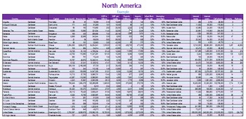
Continent Table Ver 3 Creation Pack Tech Lesson Plans and Materials
A great way to learn about all the continents!
Summary: Students use the CIA World Factbook website to find information about all the countries of a specified continent and display the data in a table in an Excel spreadsheet.
This lesson is in my Level 5 Curriculum Progression.
Recommended for Fifth through Twelfth Grade
Uses Microsoft Excel, but can be adapted for other spreadsheet software.
Files Included:
Teacher Instructions (pdf)
Student Instructions [One each for all six continents] (
Grades:
5th - 12th
Types:

Beach and River Profile Data recording and Processing sheets
Using this Google Sheet input the data you have recorded and watch as the preloaded formulas do the work for you and produce great profile graphs! Fieldwork made easy! Also included is a basic step by step outlining an appropriate method to conduct the fieldwork!
Subjects:
Grades:
5th - 12th, Higher Education, Adult Education, Staff

The Amazing Race in Microsoft Excel Digital
Students race across the USA using websites to find clues. They use websites also to track mileage, cost, and time to see who can get to the end the fastest! This is a fun way to have students computing totals and averages in Excel.Making Excel fun for Students!Other Excel LessonsSherlock Holmes Mystery in Microsoft Excel-The Race Case Excel Autosum and Sorting – A Powerpoint Presentation Created by CC Fisher
Grades:
3rd - 6th
Types:
Also included in: Microsoft Excel YEARLY Bundle Digital
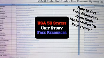
50 States Unit Study - Spreadsheet with Links for Free Resources by State
Have you wanted to try a geography subscription service but didn't want to invest the money? Are you planning to study the 50 states and are looking for free resources to supplement your curriculum? Do your children enjoy getting suprises in the mail?
This spreadsheet gives you what you to gather resources for a Free Unit Study of the 50 States. I put the research into this spreadsheet to make this project as quick and easy as possible. The links bring you directly to contact pages to reque
Subjects:
Grades:
1st - 3rd
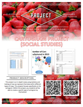
Cartogram | SS Project
Social Studies Cartogram Project
Appropriate for grades 5-8 & Homeschool
PURPOSE:
This project is an in-depth study using statistics and looking at how we represent that data within different types of maps. This projects focuses specifically on the cartogram. Within this project, you students will be able to create a specific type of cartogram by themselves!
WHAT’S INCLUDED:
This product contains:
☆Project Description (printable for each student)
☆Building a Cartogram in Micro
Subjects:
Grades:
5th - 8th
Types:
Showing 1-24 of 51 results


