1,554 results
Geography classroom decor images
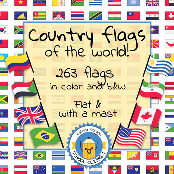
Country flags of the world: 263 Country flags - clip art bundle (1052 clips!)
Country flags of the world: 263 Country flags. HUGE clip art BUNDLE!
This clip art contains 263 flags, in 2 forms (flat and with mast) in color and black & white line art.
Contains all the flags of the countries of the world : 195 Countries.
Look at the complete list of flags by downloading the preview
A total of 1052 clips!
Included:
263 color flag (flat) clip art flag set- PNG format
263 B&W flag (flat) clip art set- PNG format
263 color flag (with mast) clip art set- PNG format
Grades:
PreK - 12th, Higher Education, Adult Education
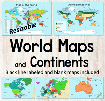
World Map and Continents Maps - World Biomes Map - USA Map - Color and Blank
This is a set of clear colored and black-line maps to use in your lesson preparation and teaching resources. Each of the twelve maps is provided in three versions1. Labeled color2. Labeled black -line3. Blank black-line The maps are orientated as rectangular landscape pages in easy to use PNG files. They feature the land on a blue water background. The images can be inserted into your documents and resized or clipped to focus on certain areas. The maps will remain clear when pulled out to 40
Subjects:
Grades:
Not Grade Specific
Flags and Languages of the World Bundle - Clipart, Posters and Printable Banner!
Contains five of our best products! Savings of 50%!Languages of the World - Hello in Every Language - Printable PostersThis is a set of 162 color, printable posters that showcase the word "HELLO" in all of the languages of the world. Each has its own unique flag in the background along with the name of the language itself.Flags of the World Banner / Bunting / PennantThis 203 flag collection is an excellent resource for creatively displaying world flags in your classroom.You will receive a zip f
Grades:
Not Grade Specific
Types:
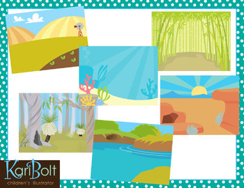
Habitats and Landscapes Clip Art Scenes
25 different habitats in color and black and white. 11x8.5" each (NOTE-preview file is reduced 50% to be able to show all scenes in color and black and white).
WHAT YOU GET IN THIS SET
• Antarctica • Asian Mountains • Australian Bush • Bamboo Forest • Beach
• Farm • Desert • Jungle • Mountains • Ocean • Park • Pine Forest • Pond
• Prairie • Rainforest • River • Rugged Mountains • Sand • African Savannah
• Cypress Swamp • Winter Field • Woods • Woods with a Cave • Zoo
• Tropical Beach
========
Subjects:
Grades:
PreK - 6th
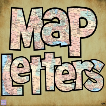
Map Print Bulletin Board Letters
There's so much you can do with this 70 piece Map Letter Clip Art Set - both digitally and in print form! They are perfect for bulletin board letters! Perfect for social studies and history classes! They're also great to liven up any resources you might create!Included in the download are:* 26 capital letter images* 26 lower case letter images* 10 number images* 8 symbol imagesAll 70 images are 300 dpi / on transparent background so you can resize them any way you'd like without losing clarity!T
Grades:
Staff, Not Grade Specific
Also included in: Bulletin Board Letters Growing Bundle
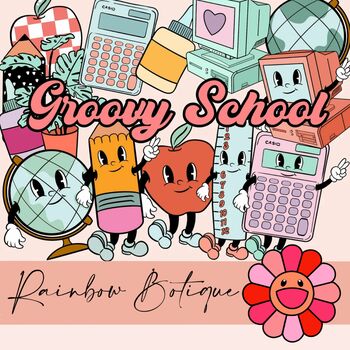
Groovy School Clipart bundle, boho school clip art, bulletin board, commercial
A cute, hand-drawn clipart set with a groovy school theme.Consists of over 50 individual, high definition png files with a transparent background.Also includes black-and-white versions of all images, suitable for coloring etc.For personal and commercial use.
Subjects:
Grades:
PreK - 12th
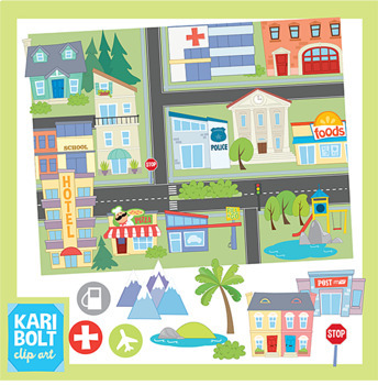
Maps and Landforms Clip Art Bundle (with Buildings)
This set combines my Buildings 2 Set, Landforms Set and Maps Set. Buildings and Landforms art has also been sized to fit onto the maps but comes in their original, large size too.BUILDINGS• Apartment • Church • Cinema • City • Gas Station • Grocery Store • Hospital • Hotel • 2 houses • Library • Park • Police Station • Post Office • Restaurant• Synagogue • School • Town Hall • Town Houses • Generic Building • Pool • Zoo• Dentist • MosqueLANDFORMS• Butte • Cave • Glacier • Hill • Island • Lake/Po
Grades:
Not Grade Specific
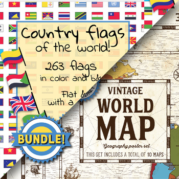
Country flags of the world & World map and continent - School Clip Art - BUNDLE
BUNDLE! Country flags of the world & World map and continent Product #1: Link to the productCountry flags of the world: 263 Country flags. HUGE clip art BUNDLE!This clip art contains 263 flags, in 2 forms (flat and with mast) in color and black & white line art.Contains all the flags of the countries of the world : 195 Countries.Look at the complete list of flags by downloading the previewA total of 1052 clips!Included:263 color flag (flat) clip art flag set- PNG format263 B&W flag
Grades:
PreK - 12th, Higher Education, Adult Education, Staff
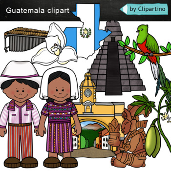
Guatemala clip art Commercial use
Guatemala clipart 10 color PNG&JPG+10 black white (outline) PNG&JPGSize one image about 8 inch by 4 inchFor personal and commercial use.You'll like it!All countries of the worldDownload the archive with the license and logo by the linkhttps://www.teacherspayteachers.com/Product/License-Credit-logo-by-Clipartino-3785741Keywords: spanish colonies, spanish colonization, clipart, sale, bundle, bw, coloring, outline, countries, symbols, map, geography, around the world, landmark, animals, nat
Subjects:
Grades:
Not Grade Specific
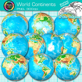
World Continent Clipart: Earth Seven Continents Map Geography Clip Art PNG
World Continent Clip Art: Explore the seven continents with your buddying social studies students using this pack of globe clipart. Create exciting visuals to teach about the seven continents of planet Earth. Design posters to illustrate the difference between the four hemispheres for your world geography unit. Make worksheets to instruct your students on learning map skills, longitude and latitude, as well as cardinal directions.WHAT IS CLIP ART?Clip art (or "clipart") are digital images that c
Grades:
PreK - 12th
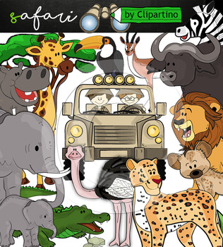
Cute Safari animals Clip Art /African Animals /Commercial use
Safari clipart bundle inclides 22 png files transparent background+jpgand safari clip art 22 png+jpg black-white filessize 1 files about 6 inch 300 dpiFor personal and commercial use!!!African Animals & Savanna clipart (Animal jungle clip art)BinocularjeepJeep with boysBoyscrocodileantelopehippoelephantbaby elephantbuffaloa lionleopardhyenarhinoceroshippostonebeaktreegrassostrich!!!! See more animals clipartOcean animals clipartSafari clipartBugs clipartBirds ClipartDinosaur ClipartArctic An
Grades:
PreK - 12th, Higher Education, Adult Education, Staff
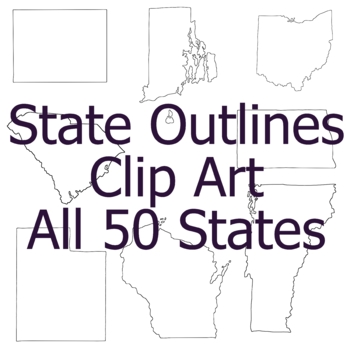
State Outline Geography Clip Art, Commercial Use Clipart
All images are PNG format with transparent backgrounds. The smallest image is 6 inches across. This listing includes one Clip Art image for each state in the United States. (Territories are not included) The images are:Alabama, Alaska, Arizona, Arkansas, California, Colorado, Connecticut, Delaware, Florida, Georgia, Hawaii, Idaho, Illinois, Indiana, Iowa, Kansas, Kentucky, Louisiana, Maine, Maryland, Massachusetts, Michigan, Minnesota, Mississippi, Missouri, Montana, Nebraska, Nevada, New Hampsh
Grades:
Not Grade Specific
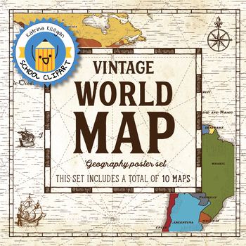
World map and continents: Vintage style geography poster set (10 maps)
World map and continents: vintage style geography poster setThis world and continents set includes a total of 10 maps:• World• Africa• South America• Central America• North America• Europe (2)• Middle East• Asia• OceaniaMaps capture current geographical and political boundaries (as of May 2019) with vintage-style graphics and script. The world map clearly labels continents and oceans. Continent maps label all countries, oceans and include a color-coded country key.These maps are a great addition
Subjects:
Grades:
PreK - 12th, Higher Education, Adult Education, Staff
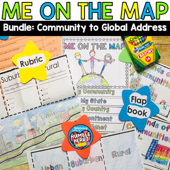
Me on the Map Bundle: 3 Kinds of Communities to Global Address
Intorduce Social Studies and Map Skills to your students as they learn about community in the classroom and in your town and move on their global address. First, teach your students about urban, suburban, and rural communities with this engaging flap book. Students will use the road in the flap book to create a map that begins in an urban community and continues through the suburbs before winding out to a rural community. Students will define and list 3 characteristics of each kind of community
Subjects:
Grades:
1st - 3rd
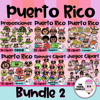
Puerto Rico Clipart Bundle
¿Estás buscando una forma única y creativa de agregar un toque de cultura puertorriqueña a tus diseños y proyectos? ¡No busques más! Con nuestro set de clipart de la cultura de Puerto Rico, tendrás acceso a una selección de clip art de alta calidad y auténticos que reflejan la rica historia y tradiciones de la isla de una manera auténtica y hermosa.No te pierdas la oportunidad de agregar un toque de Puerto Rico a tus recursos, carteles, juegos, decoraciones, recursos, ”bulletin boards“ y present
Subjects:
Grades:
Not Grade Specific
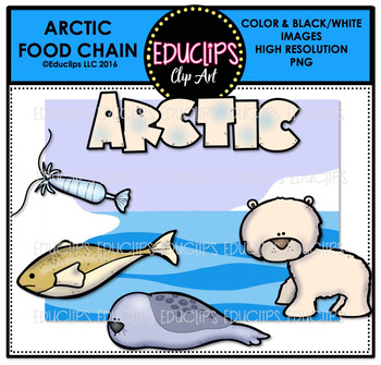
Arctic Food Chain Clip Art Mini Bundle {Educlips Clipart}
This is a collection of Arctic food chain clip art. The images included in this set are:ARCTICFood chain: capepods, Arctic cod, ringed seal, polar bearWord art & background scene12 images (6 in color and the same 6 in B&W)This set is also available (at a big discount) as part of the FOOD CHAIN CLIP ART MEGA BUNDLE.This set contains all of the images shown.Images saved at 300dpi in PNG files.For personal or commercial use.CLICK HERE for TERMS OF USEThis is a zip file. Before purchasing, p
Subjects:
Grades:
Not Grade Specific
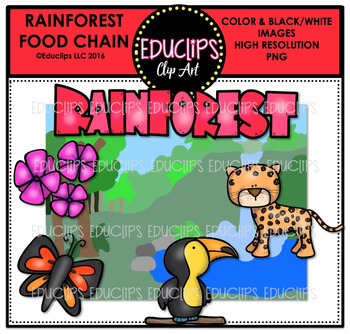
Rainforest Food Chain Clip Art Mini Bundle {Educlips Clipart}
This is a collection of Rainforest food chain clip art. The images included in this set are:
RAINFOREST
Food chain: flowers, butterfly, toucan, Leopard
Word art & background scene
12 images (6 in color and the same 6 in B&W)
This set is also available (at a big discount) as part of the FOOD CHAIN CLIP ART MEGA BUNDLE.
This set contains all of the images shown.
Images saved at 300dpi in PNG files.
For personal or commercial use.
Download preview for TOU.
This is a zip file. Before pur
Subjects:
Grades:
Not Grade Specific
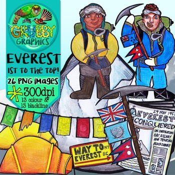
Mount Everest Clip Art
1953 put NZ on the world map when kiwi legend Edmund Hillary & Nepalese Tenzing Norgay were the first people to stand on top of the world….
Celebrate this epic historic event with some icy Everest clip art!
This set contains 26 images (13 colour and 13 blackline) as high quality (300 dpi) PNGs with transparent backgrounds.
*PLEASE NOTE: This set of images have all been hand drawn and coloured, and because of this may contain quirks and unevenness in places – this is all part of their u
Grades:
Not Grade Specific
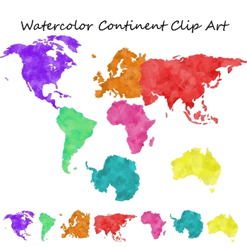
Watercolor Continent Geography Clip Art for Commercial Use
Set of 7 watercolor themed clip art png images with transparent backgrounds.The images included are:North AmericaSouth AmericaEuropeAsiaAfricaAntarcticaAustralia These are also great to print out and use for geography centers or bulletin boards.Note: This is a larger file, it may take longer to download based on your internet connection and download speed. Please be patient.These images are for personal or commercial use. If you are using these to create educational materials for TpT credit is n
Grades:
Staff
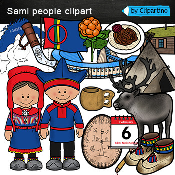
Sami people Clip Art /lapland /Norway /Sweden /Finland /February holidays
Sami people Clipart /lapland /Norway /Sweden /Finland /February holidays includes: Map * flag * calendar * national house2 * knife * Cloudberry * nasional dish * reindeer * runic drum * shoes * Sami Parliament * boy * girl.The Sámi National Dayis an ethnic national day for the Sámi (Saami) people that falls on February 6.All 14 color png/jpg + 14 black white outline png/jpg files.Size one image about 8 inch by 4 inchFor personal and commercial use. Download the archive with the license and logo
Grades:
Not Grade Specific
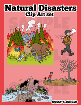
Natural Disasters Clip Art Set
This is an image bundle that includes various natural disasters and other visual help image files.
They come in PNG Format. Both colored and black and white files.
Perfect for: storytelling, science projects, and much more!
For personal and TpT project use.
23 color+27 black and white= 50 files in total
Contents:
Avalanche
Skiiers (the same characters featured in the avalanche image, but larger)
Crater (meteor impact)
Meteor
Cyclone/hurricane/typhoon
Storm or Tropical Storm
Drought
Earthquake
Grades:
3rd - 6th
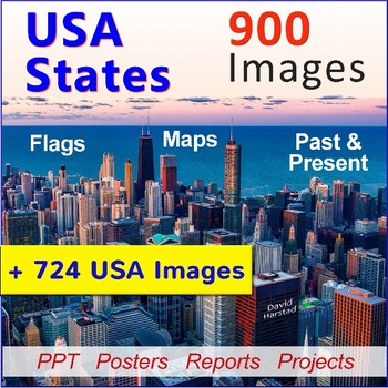
U.S. History for Special Education
U.S. History for Special Education - American History Images. These classic U.S. history clip art images support U.S. history for special education throughout the year. Teach American history and U.S. states with pictures and integrate into your activities and lessons.• Keep search time efficient and productive. • Images travel nicely across grade levels. • Use for PowerPoints, reports, projects or creative writing. About the images:Format is 8.5" x 11" in resizable png. Images sold "as is". Pro
Subjects:
Grades:
K - 7th
Also included in: Special Education Bundle
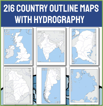
Ultimate Collection of 216 Political Outline Country Maps with Names
Unlock the world in your classroom with our Ultimate Collection of 216 Political Outline Country Maps! With this comprehensive set of political outline maps, the world is literally at your students' fingertips. This meticulously curated set includes every sovereign nation, each clearly outlined and labeled with its country name, making it an indispensable resource for any educator needing a map. CHECK OUT THE PREVIEW for 50 ideas for using these maps in your next lesson!Why Choose This Country M
Grades:
Not Grade Specific
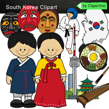
South Korea Clip Art
South Korea clipart 10 color PNG&JPG+10 black white PNG&JPGSouth Korea clipart includes : Girl * Boy * map/flag * mask 3 * kayagym * national dish Size one image about 8 inch by 4 inchFor personal and commercial use.You'll like it!All countries of the worldDownload the archive with the license and logo by the linkhttps://www.teacherspayteachers.com/Product/License-Credit-logo-by-Clipartino-3785741Keywords: South Korea Clipart, sale, bundle, bw, coloring, outline, countries, symbols, asia
Grades:
Not Grade Specific
Also included in: Asia #1 Countries Clip art Bundle- PART 2/ India /Japan /China /Thailand
Showing 1-24 of 1,554 results


