179 results
Preschool geography projects
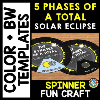
5 PHASES OF A TOTAL SOLAR ECLIPSE 2024 ACTIVITY CRAFT SPINNER SCIENCE PRINTABLE
TOTAL SOLAR ECLIPSE 2024 CRAFTS WHEEL PRINTABLE ACTIVITY (THE 5 PHASES OF A TOTAL SOLAR ECLIPSE SPINNER CRAFTIVITY)Are you looking for fun Total Eclipse activities? Kids will love making and spinning this eclipse crafts wheel/ spinner. This craft wheel is a fun way for kids to learn about the 5 phases of a total solar eclipse: First Contact, Second Contact, Totality, Third Contact and Fourth Contact. I have provided 2 versions of the wheel: color and black and white version. Each wheel con
Subjects:
Grades:
PreK - 6th
Types:
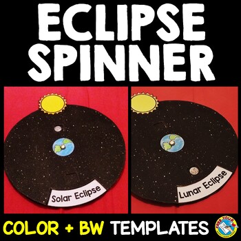
SOLAR AND LUNAR ECLIPSE CRAFTS WHEEL ACTIVITY SPINNER PRINTABLE SCIENCE
SOLAR AND LUNAR ECLIPSE CRAFT ACTIVITY SPINNER SCIENCE PRINTABLE (Perfect for the upcoming annular eclipse on October 14 and the following lunar eclipse)Are you looking for fun solar and lunar eclipse activities? Kids will love making and spinning this eclipse crafts wheel/ spinner. This eclipse wheel is a fun way for kids to visualize the position of the moon in relation to the sun and Earth during solar and lunar eclipses.I have provided 3 versions of the eclipse wheel: color, black and white
Subjects:
Grades:
PreK - 6th
Types:
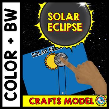
SOLAR ECLIPSE 2024 CRAFTS MODEL ACTIVITY SCIENCE SUN & MOON APRIL PRINTABLES
TOTAL SOLAR ECLIPSE 2024 SCIENCE CRAFTS PAPER MODEL FOR KIDS: PRESCHOOL , KINDERGARTEN & 1ST / 2ND / 3RD / 4TH GRADEThis simple solar eclipse craft is a fun way for kids to visualize what happens during a solar eclipse: how the moon moves in front of the sun. You could also go into more detail with certain age groups by asking kids to specifically show you the 5 phases of a total solar eclipse: i.e. first contact, second contact, totality, third contact and fourth contact.I have provided 2
Subjects:
Grades:
PreK - 3rd
Types:
Travel Bundle (Passports, Boarding Passes, Travel Journals)
Although many of us wish we could pack up and travel the world, that's not always realistic (especially with a classroom full of kiddos). We may not be able to take our kids on a tour of the world but thanks to technology and so many incredible resources, we can BRING THE WORLD INTO OUR CLASSROOM.
Do you research different countries or cultures with your students? Do you go on virtual classroom field trips? Are you looking for a simple yet engaging way to teach your kids about global citizensh
Grades:
PreK - 8th
Types:
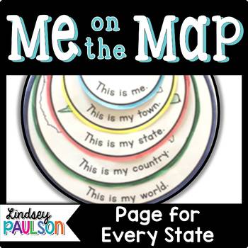
Me on the Map
Students will learn their place in the world including their town, state, country, and continent.
Each page comes with a high quality blackline image to color and a predicable sentence: This is my ___ (town, state, country, and choice of continent, world, or planet.)
Includes pages for all 50 US states!
For each state, you'll find an outline of the state's shape with name and location of capital city. For the country page, your individual state is highlighted so students can find what region
Subjects:
Grades:
PreK - 4th
Types:
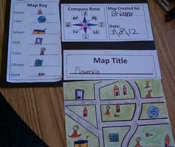
Map Skills for Kids
This six-page document contains blank copies of a town map, a compass rose, map title, and map key. Students will demonstrate their understanding of cardinal and intermediate directions when filling out the compass rose. Students can show their creativity when coming up with a map title and map key symbols. The map key includes symbol words and then the students can draw their own symbols. Then students place their symbols on the map. An example of a students finished map can be seen in the
Subjects:
Grades:
PreK - 6th
Types:
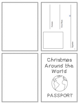
Christmas Around the World Passport and Stamps
I use this passport as we study the different cultures Christmas traditions from around the world. We learn about the United States, England, France, Italy, Sweden, Mexico, Holland, Germany, and Africa. As we study each country, we add a stamp to our passport.
To use the passport:
1. Print the cover page on a blue sheet of paper.
2. Fold it into fourths.
3. Cut two sheets of printer paper in half.
4. Fold the half sheets in half and staple them into the passport.
5. Print the stamps (circles)
Grades:
PreK - 6th
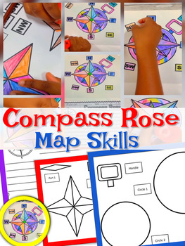
Compass Rose | Craft and Writing | Compass Rose Craft | Map Skills
With this activity, students get to create their own Compass Rose! Students will cut and paste the cardinal directions and intermediate directions. The map skills include north, south, east, west, north east, south west, south west, north west. Students use a compass rose to help describe locations of places on a world map. I use this activity with my 2nd graders each year when teaching map skills.Included: Compass Rose Craft (Easy to assemble)Compass Rose Writing PaperSimilar Resources: Map Ski
Subjects:
Grades:
PreK - 5th
Types:
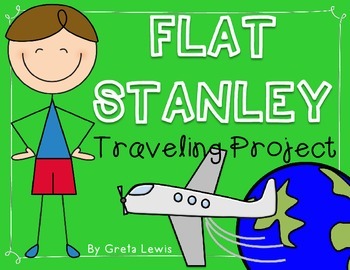
Flat Stanley Traveling Project & Booklet
This booklet and project are based on the book "Flat Stanley" by Jeff Brown. My students LOVE to send their own flat version of themselves on an adventure to visit family or friends. Here's what's inside...
-Flat Stanley body tracer template
-Letter
-11 page booklet template (options for state facts or country facts)
-Student tracking sheet
Check out my preview file to see an example and get a sneak peek at a few of the booklet pages and the student tracking sheet!
Subjects:
Grades:
PreK - 5th
Types:
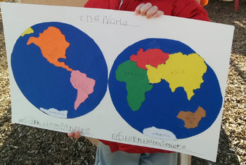
Montessori World Map Pin Punching
This file includes pin punching templates for 7 continents and labels. Little black dots are helpful to offer young children the shapes for them to pin punch as they may not be ready to trace their own map.Feedback is welcomed!
Subjects:
Grades:
PreK - 2nd
Types:
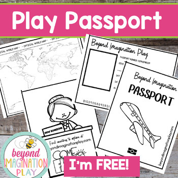
Free Play Passport | Passports Kids Printables | Around the World | Pretend Play
Now you can travel around the world in style with your lower elementary grade/ kindergarten/ special education learners. These pretend play passport pages have been designed to be used with my any of my Country Studies and Continent Studies. Simply color in each country as you finish exploring it.Exciting Note:All of our Country Studies (CLICK HERE) and Continent Studies (CLICK HERE) have been freshly updated in 2023 to have the most up-to-date information possible. Check them out and see if th
Grades:
PreK - 4th
Also included in: Continent Bundle - Spanish AND English Versions
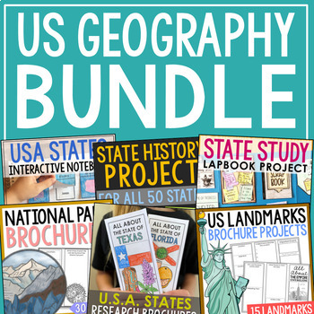
UNITED STATES GEOGRAPHY Activities | State Study, National Parks, & US Regions
This bundle includes 9 United States geography resources (plus 3 freebies). You'll find tons of activities to use all year long. Perfect for differentiating with different levels and ages.Resources Included:State Capitals Lapbook ProjectState Research ProjectState History Notebook Journal (for All 50 States)National Parks Research BrochuresUSA States Research BrochuresUSA Landmarks Research BrochuresUSA Landmarks Coloring PagesUSA Landmarks Color PostersCapitals and Abbreviations TestsUSA Region
Grades:
PreK - 7th
Types:
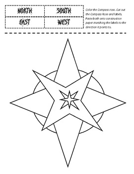
Compass Rose - Cut and Paste Labeling Printable
Here is a Printable for KG, First and Second Grade Level students to identify their cardinal directions, North, South, East and West.
(You may add intercardinal diretions NE, NW and so on for 3rd and 4th graders
Directions read: Color the Compass Rose. Cut out the Compass Rose and labels. Paste both onto construction paper matching the labels to the direction it points to.
Fun for an in-class Social Studies activity.
Subjects:
Grades:
PreK - 4th
Continents, Maps, and Globes... Oh, My!
Teach your students about the continents,maps, and globes with this fun unit!
There are anchor charts on all of the continents, oceans, and information on the difference between maps and globes.
I made three easy readers to go with the unit.
-"Maps and Globes" talks about the difference between maps and globes.
-"I Can Find the Continents" has the students locate and color the various continents and the ocean.
-"I Can Find the Globe" has the students cut and paste little globes while practici
Subjects:
Grades:
PreK - 1st
Types:
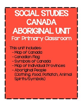
Canada / Aboriginal / First Nations/ Canadian Indigenous People (Maps, Symbols)
This is a 27 pages booklet that you could use with children who are from Pre-K to grade 3! This package includes:1. Maps of Canada and Individual Provinces2. Symbols of Canada3. My Province4. Canadian Flag5. Aboriginal People - Totem Poles6. Animal Spirits (4 of them)7. Aboriginal People - Food8. Aboriginal People - Clothing9. Aboriginal People - Celebration (Potlatch)I could not find any good resources that are suitable for primary grades so I decided to make one up myself. I hope this unit wou
Grades:
PreK - 3rd
Types:
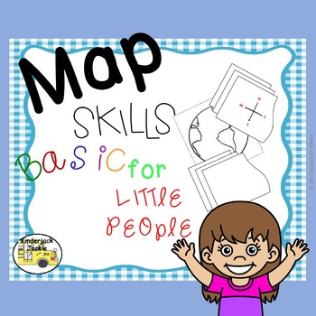
Map Skills Basic for Little People
Map Skills Basic for Little People has been updated to include some of the new Virginia 2015 History and Social Science SOL. It is design to help young children understand simple map skills. It offers them the ability to see different maps but the also the fun of manipulating different objects on a map. Many of the skills developed are relative location in position such as near/far, left/right, above/below, behind/in front, locating places on a map, and identifying the tools that help dete
Grades:
PreK - 2nd
CCSS:
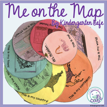
Me on a Map
This Me on a Map lesson will teach students all about the different communities they live in and how they all connect, starting with the smallest community (their home) to their largest community (the world). This Me on a Map activity contains options for students in the United States, from countries with provinces (instead of states) and for countries outside of North America. The product is editable so you can easily add your own images of maps from your town, state, country, and/or continent.
Subjects:
Grades:
PreK - 2nd
Types:
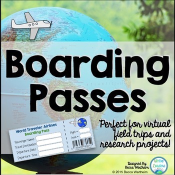
Boarding Passes {perfect for virtual field trips and research projects}
Although many of us wish we could pack up and travel the world, that's not always realistic (especially with a classroom full of kiddos). We may not be able to take our kids on a tour of the world but thanks to technology and so many incredible resources, we can BRING THE WORLD INTO OUR CLASSROOM.
Do you research different countries or cultures with your students? Do you go on virtual classroom field trips? Are you looking for a simple yet engaging way to teach your kids about global citizensh
Grades:
PreK - 8th
Types:
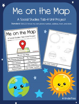
Me on the Map (Social Studies Tab-it Project) SS.K.G.2.2
This is a unit project on the standard: SS.K.G.2.2 I know my own phone number, address, town, and state.It covers knowing your phone number, address, school, town, state, country, planet, and solar system. It is a great tab-it project to slowly complete over time. Each page builds on the other until you put it all together to make a flip open tab. The titles of each page are listed and easily visible on each tab. The following pages are included in this project:The coverpage (that names the proj
Subjects:
Grades:
PreK - 5th
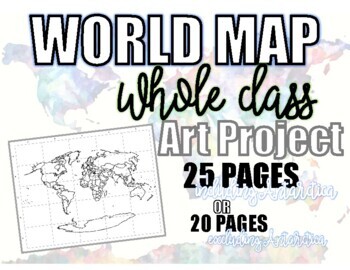
World Map Whole CLASS Art Project! Just PRINT & DECORATE! Ü
A simple, easy to use WORLD MAP that you can just print and paint! ÜWell, PAINT isn't necessary. You can use crayons, colored pencils, oil pastels, watercolors, glitter (GASP!), really, the possibilities are endless! ÜThe project includes 25 pages to complete the world map. You may choose to exclude row E to exclude (most of) Antarctica if you'd rather have 20 pages. The map is organized by columns 1-5 and rows A-E. Each page is labeled with its respective coordinate, making putting together the
Grades:
PreK - 12th, Higher Education, Adult Education
Types:
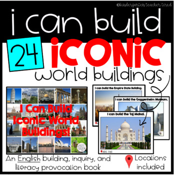
I Can Build Iconic World Buildings!
A book filled with rich, colour pictures of 24 of the world's most iconic and beautiful buildings!
Add to your block, building, and / or carpet area for some creative building inspiration!
a FRENCH version of this product is available here:
Je peux construire
Buildings include:
The Taj Mahal
The Chrysler Building
Buckingham Palace
The Dome of the Rock
The Sydney Opera House
The Burj Khalifa
... and 18 more!
Each page includes the sentence "I can build..." as well as that building's lo
Subjects:
Grades:
PreK - 3rd
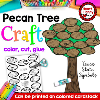
Texas Pecan Tree State Symbols Craft
This Texas, Pecan Tree, State Symbols Craft is LOW PREP - Just print, color, cut, glue! (Templates can be printed on colored cardstock if preferred.) Great for your state symbol lessons, 50 states, and U.S. geography lessons. Includes:All templates to make craft (Includes 15 state symbol pecans. You can pick how many to include based on the age of your students and the time you have allotted.)Directions with picturesNot for commercial use. For personal and classroom use only.Click here to follow
Grades:
PreK - 2nd
Types:
Also included in: Texas State Symbols Craft BUNDLE
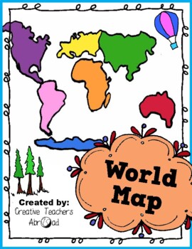
Travel Continents and Oceans - The World Map - Geography Activities Pack!
Summer Travel - The World Map - Continents and Oceans This download includes continents and oceans matching page in B&W and color.New Bonus: Word searchword scrambletracing vocabulary practicecrossword puzzle creative writing promptand I'm learning the continents book! All included in your download to enhance your teaching. These extensions are great for advanced learners. Lesson Suggestions:Print and color the maps.Let the children cut out the continents or oceans and paste them to the mat
Grades:
PreK - 12th, Adult Education, Staff
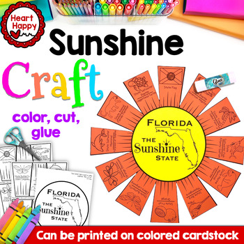
Florida State Symbols Craft | The Sunshine State Sun Craft
This Florida, The Sunshine State, Craft is LOW PREP - Just print, color, cut, glue! (Templates can be printed on colored cardstock if preferred.) Great for your state symbol lessons, 50 states, and U.S. geography lessons.Includes:All templates to make craft (Includes 12 state symbols: flag, orange blossom, orange, sabal palm, manatee, sailfish, loggerhead turtle, panther, porpoise/dolphin, zebra longwing, mockingbird, and alligator)Directions with picturesNot for commercial use. For personal and
Grades:
PreK - 2nd
Types:
Also included in: Florida State Symbols Craft BUNDLE
Showing 1-24 of 179 results


