14 results
Geography resources by TpT sellers for TpT sellers on sale
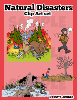
Natural Disasters Clip Art Set
This is an image bundle that includes various natural disasters and other visual help image files.
They come in PNG Format. Both colored and black and white files.
Perfect for: storytelling, science projects, and much more!
For personal and TpT project use.
23 color+27 black and white= 50 files in total
Contents:
Avalanche
Skiiers (the same characters featured in the avalanche image, but larger)
Crater (meteor impact)
Meteor
Cyclone/hurricane/typhoon
Storm or Tropical Storm
Drought
Earthquake
Grades:
3rd - 6th
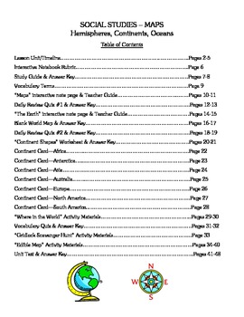
Social Studies - Maps, Continents, & Oceans - Complete Lesson Unit
Are you looking for a Social Studies unit on Maps, Continents, and Oceans that has differentiated and cooperative learning activities along with all the materials you need to teach the entire unit? Are you tired of just teaching from the textbook and want something different to do with your class? If so, this packet of materials is literally all that you need – an overall unit outline for 10 days of activities, interactive notes, quizzes, suggested homework assignments, class activities (both
Grades:
3rd - 4th
Maps and the Earth - Social Studies - An Interactive PowerPoint presentation
This powerpoint begins as a review of the differences between globes and maps, identifies the hemispheres, and shows the locations of continents on a world map. The second part of the powerpoint is a "pop quiz" with questions about the material reviewed as well as a "guess the continent shape" section. As with most of my powerpoints, it is filled with colorful slides and vivid graphics.
There is an abbreviated version of the PowerPoint available for free download so that you can get a better i
Subjects:
Grades:
2nd - 3rd
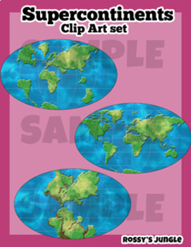
Supercontinents Clip Art Set
This is a set that includes the continents over time, detailed and suited for older students.Includes both color and line art PNG files.Perfect for projects about geology, paleontology, dinosaurs, Pangaea, continental drifts, etc. Detailed world maps:-1 permian- 1 triassic-1 jurassic-1 cretaceous-1 present day
Subjects:
Grades:
6th - 12th, Higher Education, Adult Education
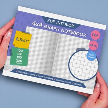
4x4 Graph Paper Notebook Template - Printable Graph Paper
"4×4 Graph Paper Notebook Template"Enhance your creative and mathematical endeavors with our "4×4 Graph Paper Notebook Template." Tailored to meet your design and organization needs, this template provides a canvas for your ideas to come to life, offering flexibility with various page options.Key Features:Digital Files – Ready to Download:✔ Your digital files are ready for immediate download.Editable:✔ Customize the template effortlessly with editable PPTX files in Microsoft PowerPoint.High Reso
Subjects:
Grades:
Not Grade Specific
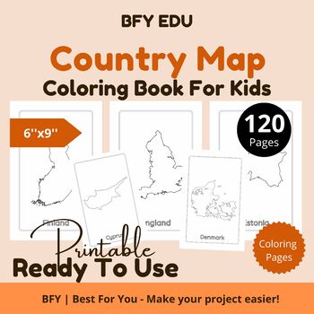
Country Map*Coloring Pages For Kids 6x9'' 120 pages
This coloring book includes 120 unique coloring pages.PRODUCT INFORMATION:1.Included Template Designs: Country Map2.Dimensions: 6''x9'' inches3.Pages: 120 Pages4.Bleed Settings: No Bleed5.Format: PDFHigh-Quality Print Ready PDFTERMS OF USE:This product is for one classroom use only. It may not be placed or uploaded to any public or shared database or website. If additional teachers would like to use it, please purchase additional licenses under “My Purchases”.COPYRIGHT INFORMATION:All material i
Subjects:
Grades:
PreK - 12th
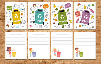
Eco activites of trash containers classification-waste management - printables
31 pages of Environmental Science WasteManagement eco activites and coloring pages posters and stickers1 pdf include 31 pages letter sizeGarbage recycle bins set. activites of trash containers classification. Recycling bins separation. waste management concept. trash and waste, sign concept garbagecollection of plastic glass metal organic paper trash coloring pages of environment symbolsposters of : circular economy infographicBlack lettering ecology 4 postersstickers of ecology badgesAll page
Subjects:
Grades:
PreK - 12th, Higher Education, Adult Education, Staff
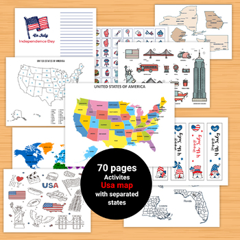
United States Geography Maps Activities,Clipart of USA,Geography Map
70 pages - printable downloadAll the worksheets and activities you will need to help teach the subject USA!Beautiful Coloring pages of USA stickers and symbols, ABC font with flag inside . clipart of USA, Bookmarks,games, United States Map PuzzleUnited States Map Quiz & Worksheet: USA Map Test w/ Practice Sheet Pages of colorful and simplified map of the United States shows the states, location of the capitolsThe United States of America Map - Blank - Full Page Geography Map Skills Activiti
Subjects:
Grades:
PreK - 12th, Higher Education, Adult Education, Staff
From Sea to Shining Sea Smartboard Presentation - Social Studies
Are you looking for an interesting and interactive presentation for your class about maps, continents, and oceans? If so, this is the Smartboard presentation is for you! Filled with colorful slides and graphics, it will keep your students’ attention and they will be entertained as they learn.
An abbreviated version of the presentation is available as a free download so that you can have a better idea if this will work for you.
**If you are looking for a lesson unit with materials and activit
Grades:
3rd - 4th
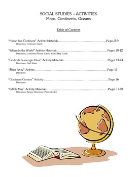
Social Studies - Maps, Continents, & Oceans - SIX Activities
Are you looking for fun Social Studies activities for teaching about maps, continents, and oceans? Well, look no further! This packet of materials includes the following:
"Name That Continent" Activity
"Where in the World" Activity
"Gridlock Scavenger Hunt" Activity
"Ships Ahoy" Activity
"Continent Corners" Activity
"Edible Map" Activity
**If you teach in Virginia, this unit of study specifically correlates to Social Studies/History, SOL 3.5(a-c)(e), 3.6.
FYI--I have also listed a complete 10
Grades:
3rd - 4th
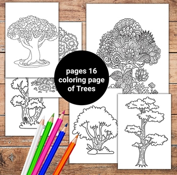
Tree Coloring Page I Printable Tree DIGITAL Coloring Page | INSTANT DOWNLOAD
Tree Coloring PageThis printable Beautiful TreesPerfect for educational projects and teaching resources.16 Sheets Instant DownloadDRAW,CUT,PAINTטו בשבטformat:US letter paper size (8.5" x 11") 1 pdf with 16 pagesQuality: High quality, 300 dpi.* So What you Need:• Printer at home or your office or preferred print shop• Scissors• Paper or sticker sheets (if printing yourself).• Adobe Acrobat Reader if you requested a PDF (free download at http://get.adobe.com/reader/)• Optional items: adhesive, tap
Subjects:
Grades:
PreK - 12th, Higher Education, Adult Education, Staff
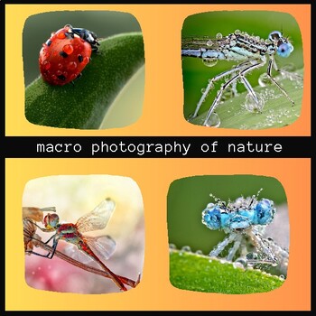
Macro Photography of Nature
Macro photography of nature is a type of photography that captures close-up images of small living organisms, natural textures, and patterns found in nature. This type of photography requires special lenses that allow for a high level of magnification and focus on small details that are often overlooked. Macro photography of nature can reveal the intricate beauty of the natural world and allow us to see things in a new way. It is a popular genre among nature photographers and can be used to capt
Subjects:
Grades:
Not Grade Specific
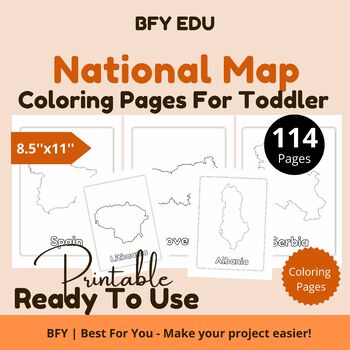
National Map*Toddler Coloring Book 8.5x11 114 pages
This coloring book includes 114 unique coloring pages.PRODUCT INFORMATION:1.Included Template Designs: National Map2.Dimensions: 8.5''x11'' inches3.Pages: 114 Pages4.Bleed Settings: No Bleed5.Format: PDFHigh-Quality Print Ready PDFTERMS OF USE:This product is for one classroom use only. It may not be placed or uploaded to any public or shared database or website. If additional teachers would like to use it, please purchase additional licenses under “My Purchases”.COPYRIGHT INFORMATION:All materi
Subjects:
Grades:
PreK - 12th
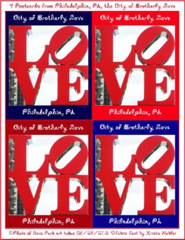
4 Postcards with City of Brotherly Love Philadelphia PA Love Park Art Photo
4 Postcards with City of Brotherly Love Philadelphia PA Love Park Art Photo4 Postcards from Philadelphia, PA the City of Brotherly Love Red White Blue 4x5 inch Gift Tags Captions Fabric Font Love Park Inspired Philadelphia Photo Send these to the ones who you love, when visiting Philly, or keep and frame for your memories of visiting, or wishing to visit Philadelphia - or display your wish for more love in this world!4 small postcards4x5 inch each8 1/2" x 11" letter printable pdfLO VE / Love Par
Grades:
Not Grade Specific
Showing 1-14 of 14 results


