3,155 results
Geography Common Core RH.6-8.7 resources
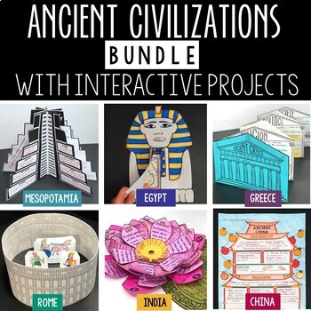
Ancient Civilizations Lessons, Activities, and Projects - Ancient History
This Ancient Civilizations Bundle includes 6 resources for teaching Mesopotamia, Ancient Egypt, Ancient China, Ancient India, Ancient Greece and Ancient Rome. Each resource includes learning activities to help students learn about each civilization’s geography, religion, achievements, politics, economy, and society. Designed to be engaging and interactive, these resources will make learning fun and exciting! Here’s a quick overview of each of the Ancient Civilization Resources: Ancient Mesopotam
Grades:
4th - 7th
Types:
CCSS:
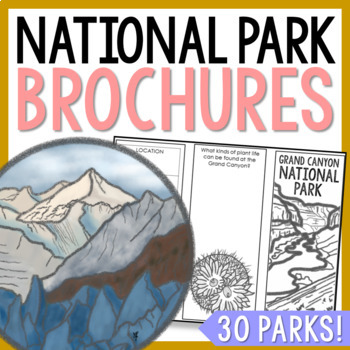
NATIONAL PARK Research Projects | USA American Landmarks Report Activities
This bundle of 30 national park brochure projects is a fantastic way for your students to explore a huge variety of landscapes across North America. Each no-prep activity can be completed in a few different ways. You can provide your students with the information to fill out their brochures, or have them find the information through Internet research. If your students are inexperienced with Internet research, guide them through the process by projecting a search that you lead. NPS.gov and Britta
Grades:
3rd - 8th
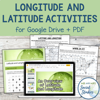
Latitude and Longitude Fun Activities and Practice Worksheet | Google Slideshow
If you are looking for a creative and no-prep resource to teach about latitude and longitude, look no further! This printable and digital activity includes an editable Google Slideshow to teach your students about latitude and longitude, and three different practice activities, giving your students the chance to decode secret messages, figure out mystery locations on a world map, and determine the coordinates of various US states.This resource goes beyond traditional longitude and latitude works
Grades:
5th - 8th
Types:
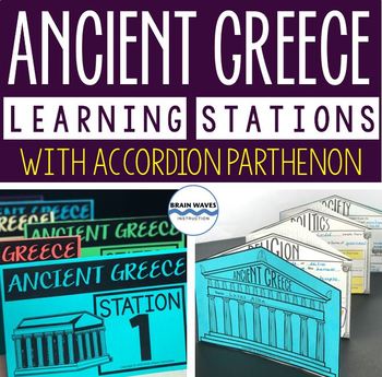
Ancient Greece Stations, Parthenon Accordion Book, Ancient Greece Activities
This resource contains six ancient Greece learning stations that students can rotate through in small groups. Each learning station (or center) is designed to give students engaging and exciting learning experiences to practice, enrich, review, and enhance their learning. Students will visit each station with a small group and complete ancient Greece activities. Here’s the fun part! During the learning stations, students will create an accordion book to showcase their learning. They’ll “build” f
Grades:
5th - 8th
Types:
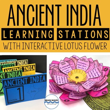
Ancient India Unit with Learning Stations and Interactive Project
This resource contains six ancient India learning stations that students can rotate through in small groups. Each learning station (or ancient history learning center) is designed to give students engaging and exciting learning experiences to practice, enrich, review, and enhance their learning. Students will visit each station with a small group and complete tasks and assignments. Check this out! Students will create a 3-D interactive lotus flower filled with their learning. They’ll add inform
Grades:
4th - 7th
Types:
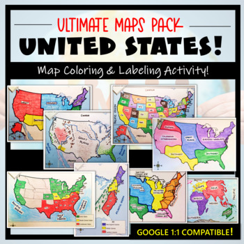
U.S. Maps & Geography- The Ultimate Label & Color Maps Pack! (American History)
This United States Ultimate Maps & Geography Pack includes eight different maps for your American History student explorers- Political Map, Physical Map, Native American Cultural Regions, 13 Colonies, Westward Expansion, 5 Regions, Civil War, and a World Map. These labeling and coloring activities are interactive, engaging, and ready to use- just print and copy! A Teacher’s Guide is provided, as well as options for use to fit your curriculum/lesson. You will also receive a completed, col
Grades:
3rd - 10th
Types:
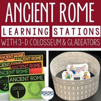
Ancient Rome Learning Stations 3-D Colosseum Gladiators Rome Activities
This resource contains six ancient Rome learning stations that students can rotate through in small groups. Each ancient Rome learning station (or center) is designed to give students engaging and exciting learning experiences to practice, enrich, review, and enhance their learning. Students will visit each station with a small group and complete tasks and assignments. Here’s the fun part! After students complete each ancient Rome activity at the learning stations, they’ll turn their work into
Grades:
4th - 7th
Types:
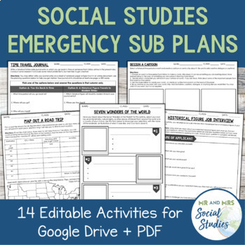
Emergency Sub Plans for Social Studies (Google Drive + PDF)
This set of Emergency Sub Plans for Social Studies contains 14 editable activities for both Google Drive and PDF...making them perfect for any unexpected absences, distance learning, or whenever you need a last-minute lesson idea and don't have time to create something from scratch! Each of the 14 activities even contains an editable note for the sub with the directions typed out and ready to go!These 14 activities can work for ANY Social Studies subject! Here is a list of exactly what is includ
Grades:
6th - 9th
Types:
Ancient China Geography: Virtual Field Trip (Google Earth Exploration)
Take your students on a virtual field trip to learn the geography of ancient China! Using a combination of Google Earth™ 360-degree views, informational text, video, and visuals, your students will learn about and explore the geography of ancient China including: the Gobi Desert, Himalaya Mountains, Tibetan Plateau, Yangtze River, and Huang He River (Yellow River).Your students will learn about::: geographic location of China:: modern-day borders (map skills included):: Gobi Desert (Mongols &
Subjects:
Grades:
5th - 7th
Also included in: Ancient China Virtual Field Trip Bundle (Google Earth Exploration)
Geography of Europe Map Practice Activities | Print and Digital | Google
End the cycle of bored students copying from books to label maps! Your classes think critically with these digital, interactive, geography activities. First, students answer questions about Europe by analyzing various physical & political maps of the region. Then, a drag & drop challenge assesses their learning of the locations. This resource also includes a printable worksheet that takes labeling maps to the next level! They create a map using only absolute & relative location clues
Subjects:
Grades:
5th - 12th
CCSS:
Project Based Learning, End of Year Create Your Own Map, Create Your Own Country
Are you looking for a project-based learning activity for GEOGRAPHY or MAP SKILLS in your Social Studies classroom? Or an engaging way to blend Social Studies with ELA? This Make Your Own Country project will enthrall your students as they make a country based on what they know and believe should exist! A perfect Project Based Learning experience for the end of the year!The PBL has students using geography, writing, and art. Students review map skills by creating a unique country with 20 lan
Subjects:
Grades:
4th - 7th
Types:
CCSS:
Geography + Map Skills Bundle | Maps, Continents and Oceans, Latitude Longitude
This epic bundle includes 12 different essential geography resources to help your students develop map skills and a sense of geographic awareness! The printable and digital resources in this bundle cover topics like latitude and longitude, continents, oceans, countries, map key, map projections, map distortion, landforms, and a lot more!Save over 30% by purchasing this bundle!The 12 resources included in this bundle include:Map Skills Digital Activity + Overview SlideshowLatitude and Longitude A
Grades:
5th - 8th
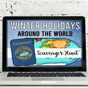
Winter Holidays Around the World Virtual Scavenger Hunt (Google Earth)
Take your students on a winter holidays adventure around the world! Using a combination of Google Earth™ 360-degree views, informational text, video, and visuals, your students will learn about and explore 8 different winter holiday events and traditions around the world. This low-prep, interactive activity is fully digital and is set up in Google Slides. This activity has been updated for the 2023 season!*CLICK THE PREVIEW BUTTON TO VIEW MOREStudents will visit and learn about the following:Nat
Grades:
5th - 7th
Types:
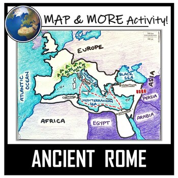
Ancient Rome Map Activity- Roman Empire (Label and Color!)
This Ancient Rome Map Coloring & Labeling Activity is a great resource to enhance your unit! Each student will make their own, personalized map of the Roman Empire, and learn about the geography and landmarks of the region. They will label and color their blank map, and answer follow-up questions related to the geography of Ancient Rome. A fun 'Make a Travel Brochure' project has also been added. It is a great way to connect this map activity to your lesson on Ancient Rome! A link to Goo
Grades:
4th - 11th
Types:
CCSS:
Also included in: Ancient Civilizations / World Maps BUNDLE- Color & Label Activities!
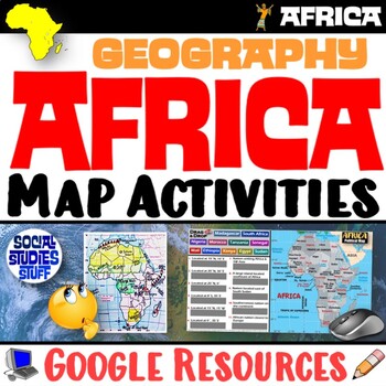
Geography of Africa Map Practice Activities | Print and Digital | Google
End the cycle of bored students copying from books to label maps! Your classes think critically with these digital, interactive, geography activities. First, students answer questions about Africa by analyzing various physical & political maps of the region. Then, a drag & drop challenge assesses their learning of the locations. This resource also includes a printable worksheet that takes labeling maps to the next level! They create a map using only absolute & relative location clues
Subjects:
Grades:
5th - 12th
CCSS:
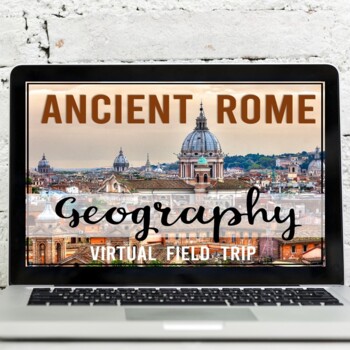
Ancient Rome: Geography Virtual Field Trip (Google Earth Exploration)
Take your students on a virtual tour to learn about the geography of ancient Rome. Using a combination of Google Earth™ 360-degree views, informational text, video, and visuals, your students will learn about and explore 5 geographical locations. This trip includes: the Tiber River, Italian Peninsula, Italian Alps, Rome, Constantinople This virtual field trip covers::: geographic location of the Roman Empire :: map skills (drag and drop & fill in the blank):: Tiber River:: Porta Portese (anc
Subjects:
Grades:
5th - 7th
Ancient Greece: Geography Virtual Field Trip (Google Earth Exploration)
Take your students on a virtual tour to learn about the geography of ancient Greece. Using a combination of Google Earth™ 360-degree views, informational text, video, and visuals, your students will learn about and explore 6 geographical locations. This trip includes Mount Olympus, the Mediterranean Sea, the Peloponnesian Peninsula, Sparta, Macedonia, and Athens.This virtual field trip covers::: geographic location of Greece:: climate:: physical geography:: Mount Olympus (significance & Myti
Subjects:
Grades:
5th - 7th
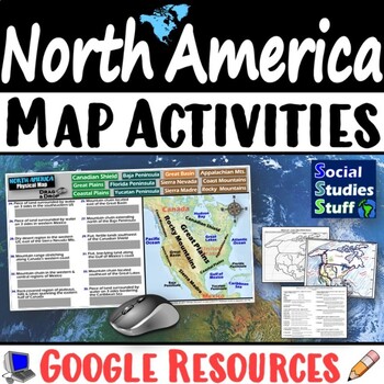
Geography of North America Map Practice Activities | USA Canada Mexico | Google
End the cycle of bored students copying from books to label maps! Your classes think critically with these digital, interactive, geography activities. First, students answer questions about North America by analyzing various physical & political maps of the region. Then, a drag & drop challenge assesses their learning of the locations. This resource also includes a printable worksheet that takes labeling maps to the next level! They create a map of the United States, Canada, and Mexico u
Subjects:
Grades:
5th - 12th
CCSS:
Geography Introduction Complete Unit
Start back to school with this Geography Introduction Complete Unit to help your students build the content foundation and Social Studies skills they will need for a Geography, History, or other Social Studies Course. The 160+ page unit covers the Five Themes of Geography, Longitude & Latitude, Climate Zones, Map Types and Purposes, and Using Maps. It introduces or reviews the basic mapping concepts AND geohraphy skills. Includes: Complete Unit Plan with bellringers & exit prompts (Se
Grades:
6th - 10th
Types:
Ancient Inca: Machu Picchu Virtual Field Trip (Google Earth Exploration)
Take your students on a virtual field trip to the Inca ruins of Machu Picchu. Using a combination of Google Earth 360-degree views, informational text, visuals, and video content, your students will learn about and explore 6 locations throughout this ancient site.Your students will learn about and explore::: Geographic location of Peru:: What is Machu Picchu?:: Sacred Rock:: The Main Square:: Three Windows Temple:: Royal Tomb:: Terraces:: Funerary RockThis Virtual Field Trip Includes::: Informat
Subjects:
Grades:
5th - 7th
CCSS:
Silk Road Trade Routes FUN Game Activity | Cultural Diffusion and Geography
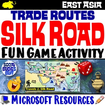
Play a FUN “Travels on the Silk Road” game that students LOVE! They must identify goods & ideas spread on the trade routes while competing to amass the greatest fortune along the way! Print & interactive, digital versions of the materials are included. Made for traditional in-class learning or digital 1:1 classrooms. Everything you need is included!Includes:Explain Slides: Game DirectionsFill-in Scorecard & ChartGame Task CardsGame BoardAnswer KeyTeacher Reference GuideVocabulary:Sil
Grades:
5th - 12th
CCSS:
Ancient Greece Map Activity for PDF and Google Drive | Geography Activity
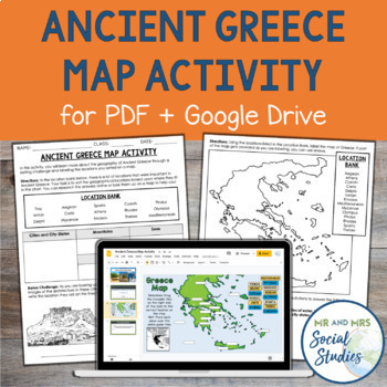
This printable and digital Ancient Greece Map Activity goes beyond a traditional mapping activity and involves inquiry and higher-order thinking! In this engaging geography activity, students are given a list of 15 different geographical locations from Ancient Greece, and they must first sort them into different categories. These categories include city-states, islands, mountains, and more. After students have sorted the locations, they will place them on a map, either by labeling them on the pa
Subjects:
Grades:
5th - 8th
Types:
CCSS:
Silk Road: Virtual Field Trip with 8 Location Stops (Google Earth Exploration)
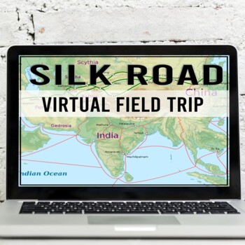
Take your students on a virtual tour and make 8 stops along the Silk Road! Using a combination of Google Earth™ 360-degree views, informational text, video, and visuals, your students will learn about, explore, and better understand the history, geography, and significance of the Silk Road trade network.The 8 Silk Road Stops Include::: Xi'an, China (Chang'an) (City Wall):: Dunhuang, China (fortification, Mogao Caves):: Tash Rabat, Kyrgyzstan (caravanserai):: Samarkand, Uzbekistan (Registan Squar
Subjects:
Grades:
5th - 7th
Also included in: Ancient China Virtual Field Trip Bundle (Google Earth Exploration)
Classify the Five Themes of Geography 5E Lesson | 5 Theme WalkAround | Microsoft
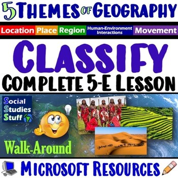
This lesson challenges students to identify, classify & explain the 5 themes of geography using real-world examples. The activities are engaging for students & the guided, 5-E format is easy for you to use! Begin with a fun “Picture It” warm-up activity. Then, introduce each of the five themes & practice applying the concepts. Fill-in notes & practice activities accompany the lesson. A “GSI: Geography Scene Investigation” challenges students to classify 16 colorful images by them
Subjects:
Grades:
4th - 10th
Types:
Showing 1-24 of 3,155 results


