22 results
Geography Common Core 5.G.A.2 resources
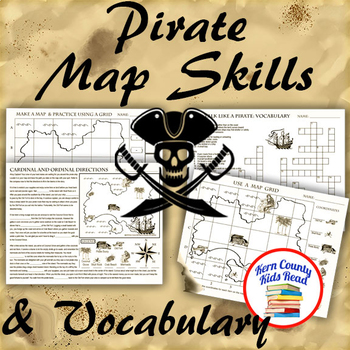
Pirate Map Skills: Grid Coordinates, Cardinal & Ordinal Directions, Symbols
Teach and strengthen coordinate grid math, geography mapping skills like map symbols and cardinal and ordinal directions with a compass rose, and new vocabulary with these pirate themed printable worksheets. These are fun mini-lesson activities for Talk Like A Pirate Day on September 19th or if you have a pirates themed unit. Cardinal directions and coordinate grid mapping are important introductory skills to mastering latitude and longitude map skills and being able to use an atlas. Coordinate
Subjects:
Grades:
3rd - 6th
Also included in: Pirates Thematic Unit Study Bundle: Talk Like A Pirate Pack!
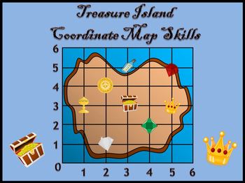
Coordinate Graphing - Treasure Island Map Skills
Enjoy this introduction to coordinates in the first quadrant with a treasure theme!Included:- An interactive PowerPoint presentation asking students to locate different treasure pictures before the answer is revealed.- Three coordinates worksheets- A treasure game that can be played in pairs, small groups or as a whole class. Each student has a game card (34 color copies are included which could be laminated for repeated games) and cross or cover treasure pictures as coordinates are called out.F
Subjects:
Grades:
5th - 6th
Also included in: Coordinate Planes Bundle
Mapping the Globe: Bundle
This bundle contains a PDF which includes an inspirational classroom poster, detailed lesson plan, student worksheet, teacher answer key, and teacher template for this step of Mapping the Globe.PLUS An editable Google Doc for students to fill in.AND Piper's Folding Globe Student TemplateYou can choose to print this file as a student handout (mainly the first page) or choose to assign it digitally for students to fill in electronically and place digital pictures of their mapped globe within the
Subjects:
Grades:
5th - 12th
Types:
CCSS:
NGSS:
HS-ESS2-1
, 5-ESS2-1
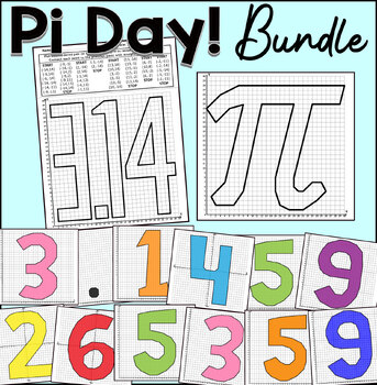
Pi Day Coordinate Graphing Mystery Pictures | Classroom Collaborative Poster
Practice plotting ordered pairs with this Pi Day coordinate graphing mystery pictures! Students enjoy completing and coloring these fun pictures.Choose from either the first quadrant (positive whole numbers) or the four quadrants (positive and negative whole numbers) worksheet.This coordinate graphing bundle includes the following mystery graphs:Pi Symbole3.140-9 DigitsThis product includes:Coordinates List.Answer Key With Lines.Graph PaperThis activity is great for math centers, fast finishers,
Subjects:
Grades:
2nd - 8th
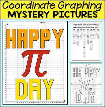
Happy Pi Day Coordinate Graphing Mystery Pictures | Pi Day Mystery Picture
Practice plotting ordered pairs with this Pi Day coordinate graphing mystery picture! Students enjoy completing and coloring these fun pictures.Choose from either the first quadrant (positive whole numbers) or the four quadrants (positive and negative whole numbers) worksheet.This product includes:Coordinates List.Answer Key With Lines.Answer Key in Color.Graph Paper Gray Grid.Graph Paper Black Grid.This activity is great for math centers, fast finishers, or homework. If you like this activity t
Subjects:
Grades:
2nd - 7th
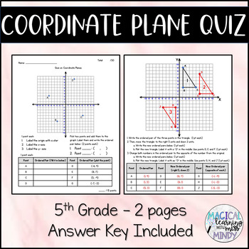
Quiz on Coordinate Planes (5th Grade)
What is on this quiz?•Labeling the origin and axes•Writing ordered pairs from all four quadrants •Plotting points from all four quadrants•Student generated point and ordered pair•Translations – moving a triangle and finding the new ordered pair•Reflection – using opposites of the ordered pair to reflect the triangle over both axes (and find new ordered pairs)What is in the file?Page 1 – IntroductionPage 2 & 3 – Quiz with point valuesPages 4 & 5 – Quiz without point valuesPages 6 & 7
Subjects:
Grades:
4th - 6th
Types:
STEM from Fiction Stories: The Wishing Spell
This is a STEM lesson that is based on the book Land of Stories: The Wishing Spell by Chris Colfer. Students embark on a journey through an old book and get lost in The Land of Stories. Students use their skills with maps, coordinate planes, and close reading to engineer a map that will help Alex and Conner get home!
Subjects:
Grades:
5th
Types:
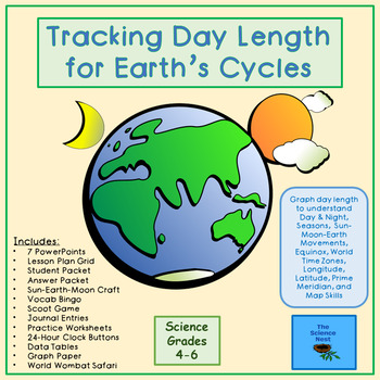
Tracking Day Length for Earth's Cycles
Expand their world! Scientists in Grades 4-6 track day length to see first hand how Earth's Cycles operate. Our students need to know these concepts!As days get longer through the spring, students collect sunrise and sunset data from the Internet and graph photoperiod, or day length, to locate the longitude and latitude of a given town, their town, and an unknown location. Use world maps, graphs, authentic data, and simple calculations to see cyclical relationships between sun, earth, and moo
Subjects:
Grades:
4th - 6th
NGSS:
MS-ESS1-3
, 4-ESS2-2
, MS-ESS1-1
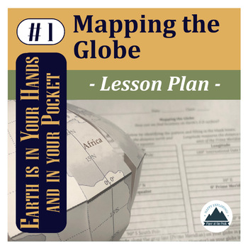
Mapping the Globe: Lesson Plan
This file contains a PDF which includes an inspirational classroom poster, detailed lesson plan with pictures, student worksheet, teacher answer key, and answer template for Mapping the Globe.*While you can use this lesson with other classroom globes or even flat maps, you may be interested in the Student Template: Piper's Folding Globe so students can add to this globe with other Mapping the... lessons throughout the semester while keeping it flat and safe in their binders between lessons.*The
Subjects:
Grades:
5th - 12th
NGSS:
HS-ESS2-1
, 5-ESS2-1
Also included in: Mapping the Globe: Bundle

Integrated Social Studies Review Bundle - Back to School
I used this review with 5th graders during back to school week. It was a refresher for academic areas while I was teaching procedures. This bundle has the basics of maps and globes, interwoven with Primary and Secondary sources in social studies, Properties of matter in science, Sequencing and Vocabulary in ELA, Math skills and More! Can be a series of mini-lessons or explorations on a theme that will take all day!
Subjects:
Grades:
2nd - 6th
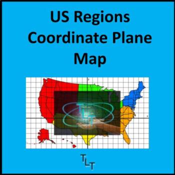
US Regions Coordinates Map for STEM, Math, Social Studies, Mat Games, Robotics
We all have the same amount of time in a day, and yet, more is being asked of us to teach in those limited minutes.Combining content areas is not only a way to utilize your precious time with students but these lessons become real-world experiences to the student and are now applicable in real-life. This US Regions Coordinates Map combines the social studies content of geography and the United States with mathematics and the coordinate planes. Students can use this high-resolution image with fla
Subjects:
Grades:
5th
Types:
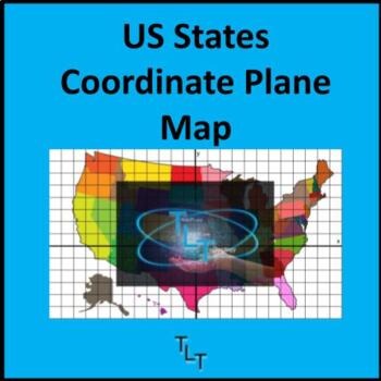
US States Coordinates Map for STEM, Math, Social Studies, Mat Games, Robotics
We all have the same amount of time in a day, and yet, more is being asked of us to teach in those limited minutes.Combining content areas is not only a way to utilize your precious time with students but these lessons become real-world experiences to the student and are now applicable in real-life. This US States Coordinates Map combines the social studies content of geography and the United States with mathematics and the coordinate planes. Students can use this high-resolution image with flas
Subjects:
Grades:
5th
Types:
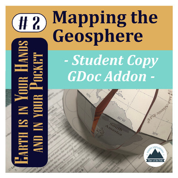
Mapping the Geosphere: Student Copy
This file contains an editable Google Doc for students to fill in. It will guide them through their their second step in labeling their foldable globe- with the layers of the Earth and plate boundary types that create landforms around the world.For more detailed instructions on how to complete this step, check out Mapping the Geosphere: Lesson Plan (detailed teacher directions, teacher template, answer key, and inspirational classroom poster) or the Mapping the Geosphere: Bundle (lesson plan an
Subjects:
Grades:
5th - 12th
Types:
NGSS:
HS-ESS2-3
, HS-ESS2-1
, MS-ESS2-2
, HS-ESS1-5
, 5-ESS2-1
Also included in: Mapping the Geosphere: Bundle
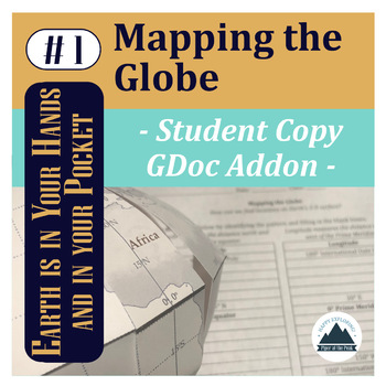
Mapping the Globe: Student Copy
This file contains an editable Google Doc for students to fill in. It will guide them through their their first step in labeling their foldable globe- with latitude and longitude that form the basis of our global coordinate system and continents.*While you can use this lesson with other classroom globes or even flat maps, you may be interested in the Student Template: Piper's Folding Globe so students can add to this globe with other Mapping the... lessons throughout the semester while keeping
Subjects:
Grades:
5th - 12th
Types:
NGSS:
HS-ESS2-1
, 5-ESS2-1
Also included in: Mapping the Globe: Bundle
Explore Glacier National Park with Traveling Miss T.
In this activity, students will practice identifying and plotting points in a coordinate plane - while learning geography! All coordinates accurately represent real locations around the world. All Math Maps come with additional extensions in math, art, geography, and writing. Don't forget to tag Miss T. in your adventures @travelingmisst #travelingmisst #mathmapsFor hundreds of Math Maps © visit my website www.travelingmisst.com
Subjects:
Grades:
4th - 8th
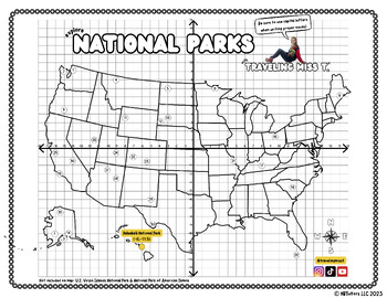
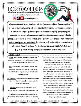
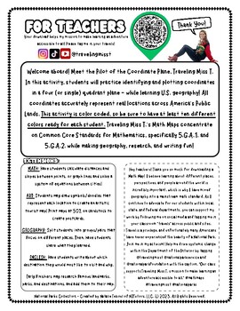
Explore National Parks with Traveling Miss T.
Hi teacher friends! My name is Natalie Teboul and I am the creator of Traveling Miss T.'s Math Maps ©. I work with local, state, and federal agencies to bring our public lands to students in classrooms for free with my innovative Math Maps. For hundreds of different Math Maps, check out my website at www.travelingmisst.com.I'm on TPT to ask all teachers to rally behind me and help me create systemic change! Please download this free map of our National Parks, have your students practice their co
Subjects:
Grades:
5th - 9th
Types:
Explore Denali National Park with Traveling Miss T.
In this activity, students will practice identifying and plotting points in a coordinate plane - while learning geography! All coordinates accurately represent real locations around the world. All Math Maps come with additional extensions in math, art, geography, and writing. Don't forget to tag Miss T. in your adventures @travelingmisst #travelingmisst #mathmapsFor hundreds of Math Maps © visit my website www.travelingmisst.com
Subjects:
Grades:
5th - 8th
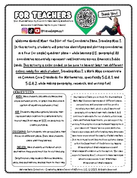
Explore Yellowstone with Traveling Miss T.
In this activity, students will practice identifying and plotting points in a coordinate plane - while learning geography! All coordinates accurately represent real locations around the world. All Math Maps come with additional extensions in math, art, geography, and writing. Don't forget to tag Miss T. in your adventures @travelingmisst #travelingmisst #mathmapsFor hundreds of Math Maps © visit my website www.travelingmisst.com
Subjects:
Grades:
5th - 8th
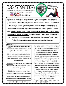
Explore Joshua Tree with Traveling Miss T.
In this activity, students will practice identifying and plotting points in a coordinate plane - while learning geography! All coordinates accurately represent real locations around the world. All Math Maps come with additional extensions in math, art, geography, and writing. Don't forget to tag Miss T. in your adventures @travelingmisst #travelingmisst #mathmapsFor hundreds of Math Maps © visit my website www.travelingmisst.com
Subjects:
Grades:
4th - 8th
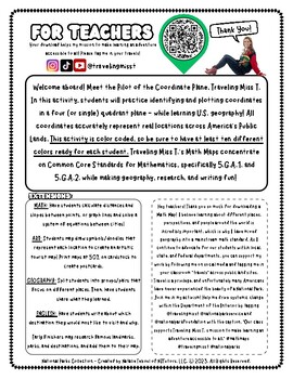
Explore Grand Teton with Traveling Miss T.
In this activity, students will practice identifying and plotting points in a coordinate plane - while learning geography! All coordinates accurately represent real locations around the world. All Math Maps come with additional extensions in math, art, geography, and writing. Don't forget to tag Miss T. in your adventures @travelingmisst #travelingmisst #mathmapsFor hundreds of Math Maps © visit my website www.travelingmisst.com
Subjects:
Grades:
4th - 8th
Distance on a Coordinate Plane
Students will practice describing the distance between two points and learn how this can be applied to reading a map. Suitable for whole group or small group work.
Subjects:
Grades:
4th - 6th
Also included in: Coordinate Plane Bundle
Mapping Geohazards: Student Copy
This file contains an editable Google Doc for students to fill in. It will guide them through their their third step in labeling their foldable globe- with locations of volcanoes and earthquakes around the world. It will also connect them to real-time databases to compare how their mapped content compares and analyze patterns.For more detailed instructions on how to complete this step, check out Mapping Geohazards: Lesson Plan (detailed teacher directions, teacher template, answer key, and ins
Subjects:
Grades:
5th - 12th
Types:
NGSS:
HS-ESS2-1
, HS-ESS3-1
Also included in: Mapping Basics Bundle
Showing 1-22 of 22 results


