917 results
4th grade geography resources on sale
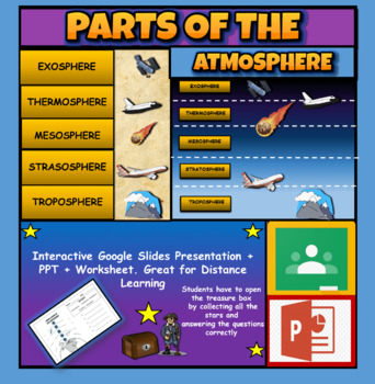
Layers Of The Atmosphere: Interactive Google Slides + PPT Version + Worksheet
Layers Of The Atmosphere: Interactive Google Slides + PPT + Worksheet (Distance Learning)Interactive presentation & quiz on Layers of the atmosphere. Please view the powerpoint previewINTERACTIVE GOOGLE SLIDES/POWER POINT PRESENTATION on layers of the atmosphere. It can be used for distance learning and google classroom or within the classroom.Once downloaded: Please view the GOOGLE SLIDES/POWERPOINT IN 'PRESENT ▶️' modeWorksheet also included in ZIP file 'Parts of the atmosphere' .These are
Subjects:
Grades:
3rd - 8th
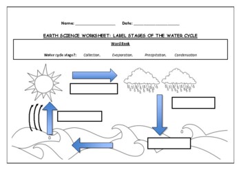
Earth Science worksheet: Label stages of the water cycle
Earth Science worksheet: Label stages of the water cycle2 VERSIONS OF WORKSHEET (Worksheet with a word bank & Worksheet with no word bank)Students have to label the stages of water cycle by looking at the diagram (Evaporation, Collection, Precipitation and Condensation)Students can color in the pictures they are doneWorksheet aimed at higher kindergarten/lower primary levelAnswer Key includedBoth PDF and Editable Word Versions included within the ZIP file
Subjects:
Grades:
K - 6th
Types:
Mapping Skills with Google Earth: Latitude, Longitude and Time Zones Gr. 3-5
This is the chapter slice "Latitude, Longitude and Time Zones" from the full lesson plan "Mapping Skills with Google Earth"About the FULL RESOURCE:Students will learn in-depth how to read and create maps with our engaging resource designed for students in grades three to five. Students will expand their knowledge of the elements on a map by exploring the lines of latitude, longitude and time zones. Then, students will learn about geographical and cultural features by exploring topographic and ch
Subjects:
Grades:
3rd - 5th
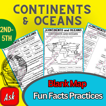
Continents And Oceans | Maps & Globes 7 Continets & Oceans | Facts Activities
Learning about continents and oceans on a map is a great way to engage students and help them remember all seven continents and major oceans in geography. This resource provides tons of practice on maps to help your kids identify the continents and oceans, as well as learn fun new information about each continent and ocean.The facts about continents and oceans are designed in different interactive formats to help your kids engage and have fun while completing them.As there are many questions reg
Subjects:
Grades:
2nd - 5th
Types:
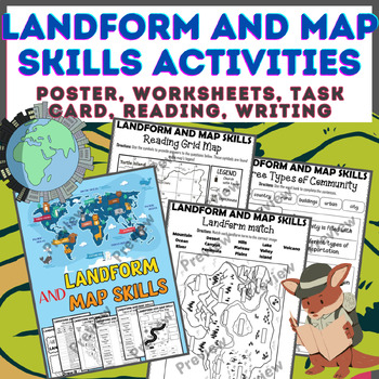
Landform & Map Skills Activity (Poster, Worksheets, Task card, Reading, Writing
Let's spice up your landform and map skills lessons and make learning super fun for your second, third, and fourth-grade students. This Landform & Map Skills Activity (Poster, Worksheets, Task card, Reading, Writing resource covers cool topics like maps, globes, continents, oceans, landforms, suburban, urban, rural areas, directions, and more!The best part? You can use these map skills and landform activities during whole group instruction, independent work, or center time. It's all about fl
Grades:
3rd - 5th
Types:
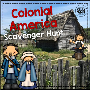
Colonial America Activity for 13 Colonies; 13 Colonies Activities
13 Colonies {New England, Middle, Southern} Scavenger Hunt Activity: A content-rich and fun way to engage students and introduce your unit! ♥You have to see the preview! OVER 600 sold and LOVED!♥This is part of my Colonies BUNDLE {3 Activities!} Let intermediate-middle grade students get up and MOVE while you introduce them to Colonial America!! In this activity, they will complete a scavenger hunt to find important information about the 13 original colonies, the New England, Middle, and Souther
Grades:
4th - 7th
Types:
Also included in: 13 Colonies Activity BUNDLE for Colonial America
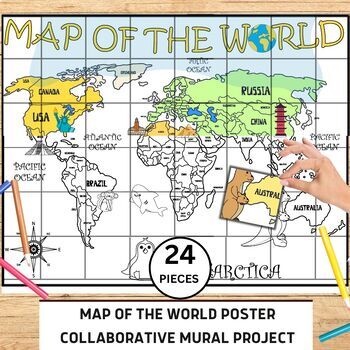
World Map Collaborative Poster Mural Project - Geography Unit , Classroom Decor
⭐️⭐️World Map Mural Collaborative Project Poster⭐️⭐️Transform your classroom with the Collaborative World Map Mural, a captivating and educational poster set. Consisting of 24 6x7 inch square pieces, students can contribute to this engaging bulletin board project. The mural promotes teamwork, critical thinking, and geographical awareness as students research and add drawings, facts, and experiences to represent different regions, countries, and landmarks. This visually stunning display fosters a
Grades:
1st - 4th
Also included in: 21 Collaboration Posters Mural Project - Classroom Decor ,Craft, BUNDLE
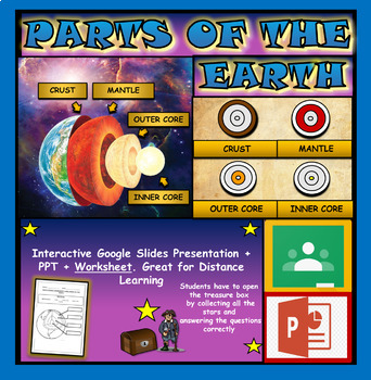
Layers and Parts of the Earth Powerpoint: Crust | Mantle | Inner and Outer Core
Layers of the Earth: Parts Of The Earth Interactive Google Slides + Powerpoint + Printable WorksheetInteractive presentation & quiz on parts of the Earth. Please view the video and PDF preview to get a better understanding of this product.INTERACTIVE GOOGLE SLIDES/POWER POINT PRESENTATION on layers of the Earth. It can be used for distance learning and google classroom or within the classroom.Once downloaded: Please view the GOOGLE SLIDES/POWERPOINT IN 'PRESENT ▶️' modeWorksheet also include
Subjects:
Grades:
3rd - 6th
Types:
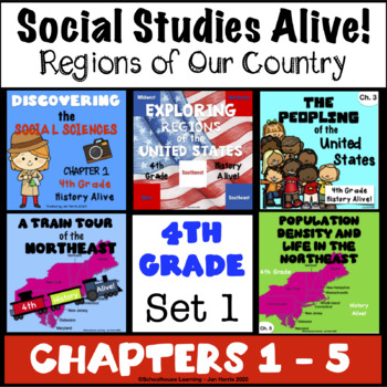
4th Grade Social Studies Alive! Regions of Our Country - Chapters 1 - 5 Set 1
**SAVE BIG BUYING SETS!** Enclosed you will find the first 5 chapters of 4th Grade Social Studies Alive! Region's of Our Country Task Cards. There are 24 multiple choice task cards in each set. Buy now and save BIG!****************************************************************************************************************Included you will find:Discovering the Social Sciences Ch. 1 Task Cards History Alive!Exploring Regions of the U.S, Chapter 2 Task Cards - History Alive!The Peopling of the
Grades:
4th
Types:
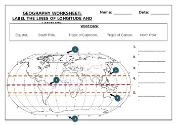
Geography worksheet: Label the lines of longitude and latitude
Geography worksheet: Label the lines of longitude and latitudeStudents have to label the lines of latitude and longitude with the correct names (Equator, South Pole, Tropic of Capricorn, Tropic of Cancer, North Pole)Worksheet aimed at primary level/ high school levelStudent can color in the world map when they are finishedAnswer key included on second page.
Subjects:
Grades:
2nd - 7th
Types:
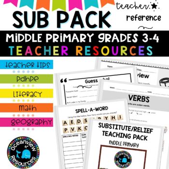
Grade 3-4 Sub Plans for Emergency Teaching days and Relief Teachers
⭐Being a relief teacher and a substitute teacher can come with its own set of challenges. This Relief Teacher Survival Kit is your one-stop resource for handling a job assignment with confidence and ease! Your students will LOVE all of the easy-to-use activitiesIf you are just starting out in your teaching career, or if you need a spark of new ideas, this resource is jam-packed with activities you can use with your students. It includes hundreds of fun, authentic, and engaging activities that I
Subjects:
Grades:
3rd - 4th, Staff
Types:
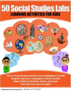
50 Social Studies Labs - Geography History Cultural Studies Economics Government
PREVIEW AVAILABLE!LIKE WHAT YOU SEE? CHECK OUT OTHER STEM RESOURCES IN MY SHOP!FROM THE CREATOR OF 50 STEM LABS & 50 MORE STEM LABS comes this collection of 50 Social Studies Activities for kids. Recommended for grades K to 6 and up! Each one has a snappy title, a brief set of instructions, recommended materials list, and space for notes. These are very adjustable for your classroom, home, or homeschool needs. Do projects for concepts like: Geography, Cultural Studies, Economics, History, G
Grades:
K - 8th
Types:
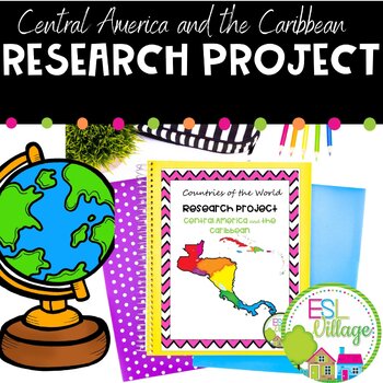
Country Research Project Central America and The Caribbean
Our engaging Country Research Project Central America and the Caribbean is perfect for a country study in the classroom. This resource includes comprehensive graphic organizers to help students structure their findings effectively. Perfect for fostering critical thinking and in-depth exploration of these vibrant regions.This project greatly facilitates differentiated instruction in the classroom by offering flexibility in assignment options. Teachers can choose to have students complete all four
Subjects:
Grades:
3rd - 9th
Also included in: Countries of the World Research Projects BUNDLE
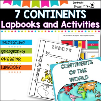
7 Continents of the World- Lapbooks and activities
✔Do you need an easy prep activity to teach your students about the Seven Continents and introduce students to some basic information about each of the seven continents.⭐Maps and Continents of the world⭐Interactive Notebooks are a wonderful tool for providing hands-on experiences for learners. These Maps and continents interactive notebooks are no exception!The packet is easy to use for both student and teacher.Are you looking for a hands-on way to immerse your students in the study of the 7 Con
Grades:
3rd - 6th
Types:
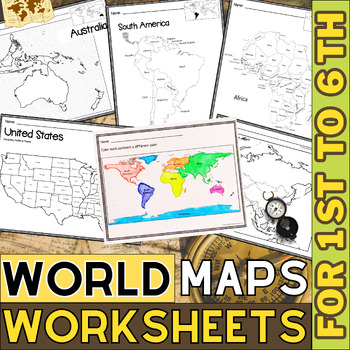
World Map with Countries | Continents and Oceans Blank Map | 1st to 12th Grade
These printable maps will be useful whether you are studying geography, world history, countries around the world, or you are just trying to show your kids the route you are taking on your next vacation! For kids learning about states, we've included a printable map of the world, as well as maps of North and South America, Europe, Asia, Australia, Africa, and Antarctica. Furthermore, the world map printable set comprises labeled and blank options for printing. To print the printable map PDF file
Grades:
K - 12th
Types:
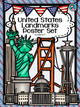
United States Landmarks Facts & Poster Set
If you are looking to improve your students skills in Geography here is the resource you need. I had so much fun researching these Landmarks and sparkle my skills also with the new facts on the most famous landmarks of the United States. Lots of information, but cool things you can use in class. Here is a set of Posters with their Fact Sheet. You can print it on card stock with double sided with the facts or separated to create your own activities for your students. The will have fun with ge
Grades:
PreK - 12th, Higher Education, Adult Education, Staff
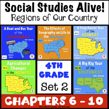
4th Grade Social Studies Alive! Regions of Our Country - Chapters 6 - 10 Set 2
**SAVE BIG BUYING SETS!** Enclosed you will find the first 5 chapters of 4th Grade Social Studies Alive! Region's of Our Country Task Cards. There are 24 multiple choice task cards in each set. Buy now and save BIG!****************************************************************************************************************Included you will find:A Boat and Bus Tour of the Southeast Ch. 6 Task Cards - History Alive!The Effects of Geography on Life in the Southeast Ch. 7 Task CardsA Crop Duster
Grades:
4th
Types:
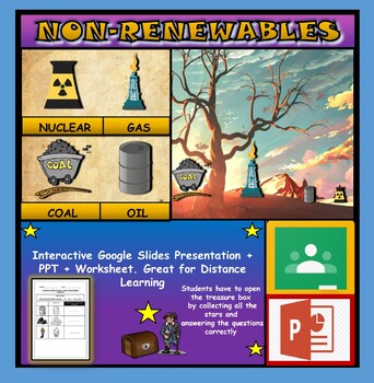
Non-Renewable Energy Sources: Interactive Google Slides + PPT + Worksheet
Non-Renewable Energy Sources: Interactive Google Slides + PPT + Worksheet (Distance Learning)Interactive presentation & quiz on non-renewable energy sources. Please view the powerpoint previewINTERACTIVE GOOGLE SLIDES/POWER POINT PRESENTATION on non-renewable energy resources. It can be used for distance learning and google classroom or within the classroom.Once downloaded: Please view the GOOGLE SLIDES/POWERPOINT IN 'PRESENT ▶️' modeWorksheet also included in ZIP file 'Non-renewable energy
Subjects:
Grades:
1st - 7th
Types:
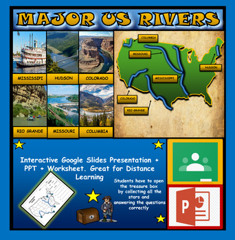
The US Major Rivers : Google Slides. Mississippi. Colorado. Hudson + Worksheets
The US Major Rivers : Google Slides, Distance Learning + Powerpoint Version + Worksheets. Interactive presentation & quiz on US major rivers. Please view the video previewINTERACTIVE GOOGLE SLIDES/POWER POINT PRESENTATION on The US major rivers. It can be used for distance learning and google classroom or on a interactive smartboard in the classroom.Once downloaded: Please view the GOOGLE SLIDES/POWERPOINT IN 'PRESENT ▶️' modeWorksheet also included in ZIP file 'Label the US rivers'. This is
Subjects:
Grades:
2nd - 7th
Also included in: U.S.A Geography Bundle: Google Slides Presentations + PPT's + Worksheets
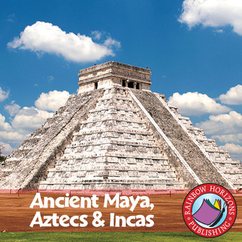
Ancient Maya, Aztecs & Incas Gr. 4-6
This thematic, integrated unit about the Mayas, Aztecs, and Incas will provide both the teacher and the students with a broad understanding of the topic.
About this Resource:
The unit starts off with core teaching lessons to build a base for knowledge, followed by student worksheets that compliment the core lessons. Optional lessons are included to add a degree of flexibility and possible enrichment activities to the lesson. The unit finishes off with a major project that allows students to de
Subjects:
Grades:
4th - 6th
Types:
Human Geography Bingo: A Beginning of the Year Activity
Fun for All Ages!What a great and fun way to have your students not only get to know their classmates but also begin to understand the concept of geography! This is an easy-to-prepare, back-to-school beginning-of-the-year geography activity that can be implemented in geography, world history, or other social studies classes. Your students will enjoy the interaction with other students as they learn about how geography surrounds them.Provided in Word and PDF versions. To download, a zip file read
Subjects:
Grades:
4th - 12th
Types:
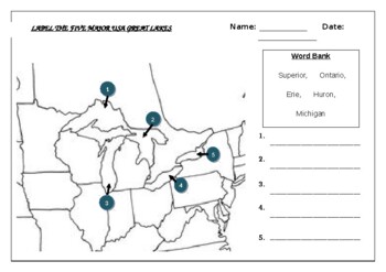
Geography worksheet: Label the five great lakes (USA)
Geography worksheet: Label the five great lakes (USA)Students have to label the major USA rivers (Ontario, Erie, Michigan, Superior, Huron)2 Versions include (B+W and a clearer Color map) Word bank/No word bank versions providedAnswer key included on the last page
Subjects:
Grades:
3rd - 8th
Types:
Also included in: Geography worksheets: USA Bundle (10 worksheets, 70%+ off)
Country Research Project North America
Our engaging Country Research Project North America is perfect for a country study in the classroom. This resource includes comprehensive graphic organizers to help students structure their findings effectively. Perfect for fostering critical thinking and in-depth exploration of this vibrant region.This project greatly facilitates differentiated instruction in the classroom by offering flexibility in assignment options. Teachers can choose to have students complete all four graphic organizers or
Subjects:
Grades:
3rd - 9th
Also included in: Countries of the World Research Projects BUNDLE
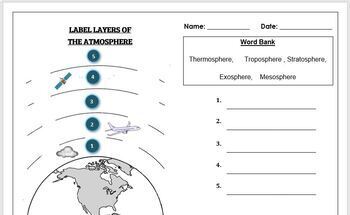
Earth Science Worksheet: Label the layers of the Atmosphere
Earth Science Worksheet: Label the layers of the atmosphereStudents have to label the layers of the atmosphere by looking at the numbers Students can color in the worksheet once they are doneWorksheet aimed at primary level/ high school levelAnswer key included on page 2
Subjects:
Grades:
K - 8th
Types:
Showing 1-24 of 917 results


