24 results
1st grade geography resources for ActiveInspire Flipchart
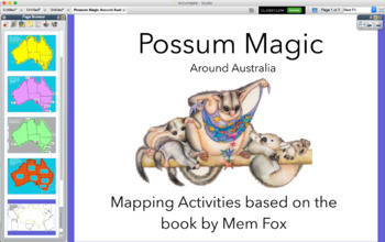
Possum Magic around Australia map - activinspire (PROMETHEAN)
Activities based on the Classic Australian Book POSSUM MAGIC. An interactive Presentation that you can use with a class, small group during literacy Groups or by individuals. You can print off to keep a record of understanding.
-Geograph
-Location
-Direction
Subjects:
Grades:
K - 2nd
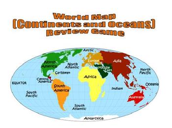
World Map (Continents and Oceans) Review Game - Promethean Flipchart
This 1-page Promethean flipchart helps students learn the location of the continents and oceans through a container game. Students can drag and drop continent and ocean names to their proper locations, with incorrect answers being "kicked" back. This flipchart can easily be used as a whole-group or small-group activity.
Subjects:
Grades:
1st - 8th
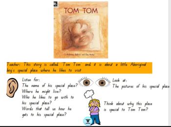
HASS Prep 'Tom Tom' by Rosemary Sullivan and Dee Huxley
This is a FlipChart for Interactive Whiteboards.This is based on the book Tom Tom for Prep HASS (My Special Place). This is a great task for online learning and also to engage the whole class. There are numerous interactive activities to help the student's engage with the task. It also introduces the concept 'bird's eye view' by using a kookaburra flying over Tom Tom's town. The students have to label the map and also engage with the story about Tom's special place and their own special places.
Grades:
PreK - 2nd
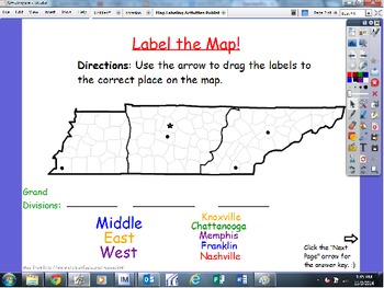
Map Labeling Activities: Continents, North America, USA, Tennessee
This flipchart has 4 different activities, with answer key slides.
1) Labeling major cities in Tennessee
2) Labeling TN on the USA map, and filling in the blank for the name of our country
3) Labeling major countries/areas of North America
4) Labeling the 7 continents
Let us know if you have any questions! Enjoy! :)
~Megan and Jenn
Map Labeling Activities: Continents, North America, USA, Tennessee by Megan and Jenn in First is licensed under a Creative Commons Attribution-NonCommercial-NoDe
Subjects:
Grades:
1st - 3rd
2nd Grade Geography Unit Flipchart
Interactive geography unit Flipchart introduces geography and it's key parts! Great for all ages, but made to cover all 2nd grade standards. Excellent interactive piece to excite students about learning geography!
*15 slides!
*Topics included: Geography, compass rose, maps, continents, countries, states, cities and more!
If you like this product, try:
Weather Unit Plan & Flipchart
Matter Unit Plan & Flipchart
Writing Unit Plans & Flipcharts
Subjects:
Grades:
1st - 4th
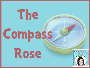
All About the Compass Rose Promethean Activinspire Flipchart Lesson
With this flipchart, your students will learn where the Cardinal and Intermediate directions are located on a Compass Rose.
This flipchart is highly interactive with containers, restrictors, interactive games and activities, plus an assessment.
Your students will be sure to love learning directions with this lesson. Enjoy!
Grades:
1st - 5th

Exploring China with Our Five Senses! Promethean Flipchart
Every Friday with my first graders, we "travel" to a new country. We use our five senses to explore the country. After we explore, we do a cultural activity related to the visited country. At the end of the lesson they each get their passports stamped.
Enjoy your way seeing, hearing, tasting, smelling and touching through CHINA!
Subjects:
Grades:
K - 5th
Types:

Super Holidays Flipchart for Activ Board
This is a flipchart I have used for Christmas Around the World with my class. Each country has the following:
Map
Pictures
Current weather (click on the icon)
Facts-Santa, Cultural Figures, Foods, and traditions
**Please note, pictures are from google images and are linked to sites such as travel websites. Do not reproduce.
**Also it is important to stress that the information for each country is from research done from Santa Net, Travel websites for each country, personal narratives from teac
Grades:
1st - 10th
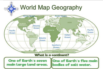
World Map Geography Flipchart
World map that covers geography vocabulary- continents, oceans, compass rose, cardinal directions, equator, prime meridian, and hemispheres. Circle the correct answer. Twenty-two question slides and 22 answer slides. Three geography riddles at the end of the slides.Flipchart file -uses Activinspire software to open.
Subjects:
Grades:
1st - 3rd
Explore Scotland with your Five Senses (Promethean Presentation)
Every Friday for a Fun Friday activity we travel to another country! My first graders have passports that I stamp after each visit. We take about 45 minutes to use our fives senses to explore the country on the board. This includes an activity at the end.
The Scotland one features what you would see, hear, taste, smell and touch in Scotland. The game is called Bools Marble Game which is a fun game where students try to earn as many marbles as they can. The kids love it!
Enjoy!
Subjects:
Grades:
K - 5th
Types:
Our World on Interactive Whiteboard
This is a Geography flip chart that takes students through the continents, maps, and oceans. Music has been attached to some of the pages. Students will be able to manipulate the chart to complete tasks using a pen or a mouse.
Subjects:
Grades:
K - 2nd
Fifty States
Here's a great little flipchart for teaching the 50 States by region. It's simple, easy to use and interactive. Also included are printable region maps and a United States map.
Subjects:
Grades:
1st - 5th
Explore South Africa with your Five Senses (Promethean Flipchart)
Every Friday for a Fun Friday activity we travel to another country! My first graders have passports that I stamp after each visit. We take about 45 minutes to use our fives senses to explore the country on the board. This includes an activity at the end.
The South Africa one features what you would see, hear, taste, smell and touch in South Africa. The game is called Mdube! Mdube! which is a fun game about predators and prey. The kids love it!
Enjoy!
Subjects:
Grades:
K - 5th
Types:
Continents and Oceans Assessment
This flipchart can be used as a formative or summative assessment. You can also use it as a computer lab activity.
If you like "Scavenger Hunt":
Fall Scavenger Hunt
Spring Scavenger Hunt
Leprechaun Scavenger Hunt
If you like "All About...":
All About Dinosaurs
All About Apples
All About Me
All About Leprechauns
***********************************************************
You might buy these items:
Printables - Math Activities Bundle #1
Printables - Math Activities Bundle #2
Printables - M
Subjects:
Grades:
1st - 6th, Staff
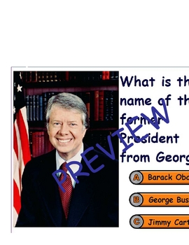
Georgia Promethean Chart with Activotes with Real Photographs
This ActivInspire flipchart was created to assess what my students had learned about our state, Georgia. While studying informational text, we gathered information from books, the internet, fact cards, and technology resources to learn about Georgia. My students completed an informational report as we learned new things every day. I would quiz them in line and while waiting on their bus. They loved it! By the time we actually took this quiz on the Promethean Board using the Activotes, they were
Subjects:
Grades:
1st - 5th
St. Louis Zoo Learning About Maps Solve the Room
This is a fun cooperative learning activity where students work in groups to learn about the zoo and maps. It can be printed and posted around the room to be done individualls or in pairs as well.
Grades:
K - 2nd

Landform Read Aloud for the Classroom
*This is an ActivInspire file. It will only show on an ActivBoard. Please do not purchase if you do not have access to ActivInspire*This is a classroom read aloud on landforms. Each page in the book is a different landform with a description of the landform.This is a companion piece to Landform Readers- Differentiated into 3 levelsNC Essential StandardK.G.1 Use geographic representations and terms to describe surroundings.Common Core StandardsCCSS.ELA-Literacy.RI.K.10 Actively engage in group
Grades:
PreK - 1st
Types:
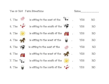
Farm Directions
Using the farm scene, students will practice telling the basic cardinal directions using the compass rose. This is an Activboard activity, and the second page may be printed out for individual student use.
/Users/teacher/Desktop/DESKTOP/Clip Art/Green Acres CU 2/Graphic CU TOU Kristi by Graphics n Bits.txt
Font by Hello Fonts - Jen Jones
Subjects:
Grades:
K - 2nd
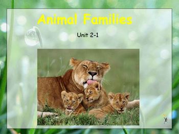
Treasures Reading Flipchart Grade 1 Unit 2-1
This flipchart was set up to use with Treasures Reading Series. This flipchart includes pages that include spelling, grammar, phonics and reading comprehension.
Subjects:
Grades:
1st
Types:
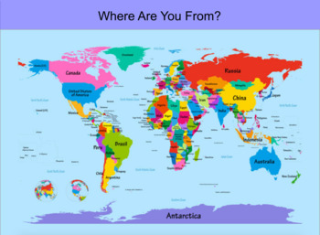
Map Types & Activity Flipchart
This Flipchart describes a Political map, Physical map, Elevation Map, and Population map. Flipchart also includes 10 questions for a map familiarizing activity. Teacher can place letters on the map to have students answer questions about different areas on a map. Enjoy!
Subjects:
Grades:
1st - 3rd
Types:
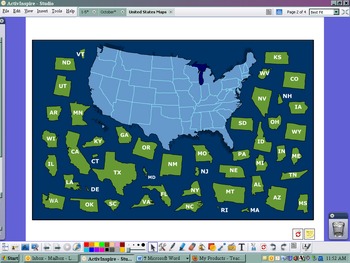
USA Postcard Exchange Flipchart
This flipchart was set up to use with the postcard exchange I signed up with. There is a US map with names and a US map puzzle. There is a link to the google maps that has all of our addresses around the US. Lastly, there is a postcard blank to model write what you are going to put on each postcard that you send out.
Subjects:
Grades:
PreK - 8th
Types:

Mexico Flipchart
An easy flipchart about Mexico for kids! Includes simple facts and pictures. A great addition to the Reading Wonders Dear Primo Literature Packet. Enjoy! :)
Subjects:
Grades:
1st - 3rd
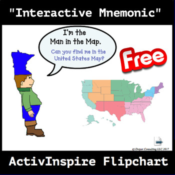
Man in the Map Activinspire Flipchart
M.I.M.A.L. is a fictional chef that is used to help students remember the 5 states west of the Mississippi River.
***NOTE: You must have ActiviIspire software to open and use this resource.
Subjects:
Grades:
1st - 4th
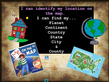
Me On the Map: Augusta, GA Edition
This Flipchart pairs with the book Me On the Map by Joan Sweeney. This Flipchart was made a classroom in Augusta, GA.
Subjects:
Grades:
K - 2nd
Showing 1-24 of 24 results


