107 results
Geography cultural activity images
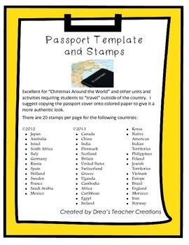
"Around the World" Passport Template and Stamps
This set jam-packed with a template for a passport and destination stamps for 40 countries. More stamps here.
The passport template includes the outer cover and inside cover with your choice of 2 reflections prompts to be completed at the end of your "travels".
There are 20 stamps per page for the following countries in full color:
• Japan
• Australia
• Israel
• South Africa
• Italy
• Germany
• Russia
• Spain
• Holland
• Sweden
• France
• Saudi Arabia
• Mexico.
• Canada
• China
• India
• Denm
Grades:
1st - 12th
CCSS:
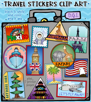
Travel Stickers - 12 Locations Around the World Clip Art by DJ Inkers
Use these fun Travel Stickers to connect and share smiles around the world! Perfect for anyone with a travel bug, this set includes 12 different location designs! These fabulous digital stickers can help you create projects for a fun travel theme, trip planning, luggage tags, country reports, scrapbooks, travel journals and more. Stickers include: Asia, Australia, Mexico, Paris, UK, USA, beach, snow, airplane, bon voyage, safari and national park. Each included individually (24 total) and on
Subjects:
Grades:
K - 4th, Staff
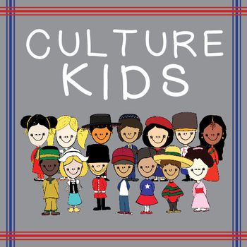
Culture Kids from Around the World!
This product includes 28 .png images of children from around the world!
There are 14 children representing 13 countries.
America (Boy & Girl/ racially ambiguous)
China (G)
England (B)
France (G)
Germany (G)
Holland (G)
India (G)
Israel (B)
Japan (G)
Mexico (B)
Nigeria (B)
Russia (B)
Spain (B)
Teach your children about other cultures from around the world with these children in their cultures traditional clothing.
You can use these however you'd like, just please be sure to credit me in t
Subjects:
Grades:
PreK - 6th
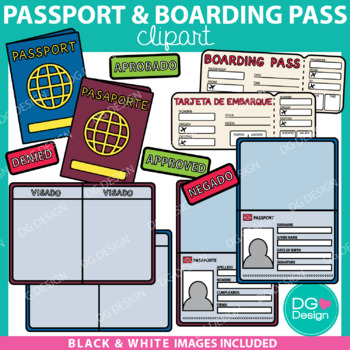
Passport And Boarding Pass Clipart & Editable File {FREEBIE}
Thank you so much for supporting my shop and providing me with wonderful feedback. I really appreciate you. I hope you enjoy this freebie! All of my fun FREEBIES are announced on my Instagram @dammgooddesign follow me to be the first to know about all the deals. - KelsieThis resource is so much more then just clipart. It includes and editable PowerPoint file so you can add your students name, photos, and travel stamps to the passports. These passports are a fun way to let your students "travel".
Subjects:
Grades:
3rd - 6th
Types:
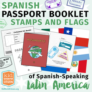
Spanish Passport Booklet, Stamps & Flags of Latin America ~ Growing Bundle
Take your students to Latin America with this incredible Spanish language passport booklet and stamp collection of Spanish-speaking Latin American countries! A fantastic product for regional units focusing on absolutely ANY theme, including country studies, a Latin American Geography Fair, Latin American reading units, regional holiday celebrations, explorations in typical recipes, animal units, and more. Save now by getting in early on this GROWING BUNDLE as we will be adding country stamps in
Subjects:
Grades:
Not Grade Specific
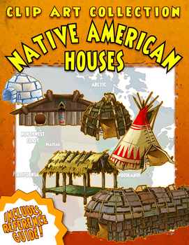
Native American Houses Clip Art
A Clip Art Collection of Native American Houses, containing 25 historically and culturally accurate images of traditional Native American dwellings from across the country. From the wigwams of the Eastern Woodlands to the plank houses of the Pacific Northwest, they’re all in here! Also included is a handy Reference Guide to the different styles.
Every Clip Art Collection contains large, high resolution PNG images in both color and black & white. Every image is crisp, clean and beautiful w
Subjects:
Grades:
Not Grade Specific
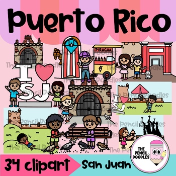
San Juan Puerto Rico Clipart - Cultura Puertorriqueña Clip Art
No te pierdas la oportunidad de agregar un toque de Puerto Rico a tus proyectos. ¡Obtén este set de clipart de una visita a San Juan Puerto Rico y descubre la belleza de nuestra ciudad capital en tus recursos! . Crea hermosos recursos con estos divertidos clipart de Puerto Rico que reflejan nuestra cultura y tradición. Incluye lugares emblemáticos de nuestra capital San Juan. Una delicada selección de imágenes auténticas y de alta calidad que reflejan la rica historia y tradiciones de la Isleta
Grades:
Not Grade Specific
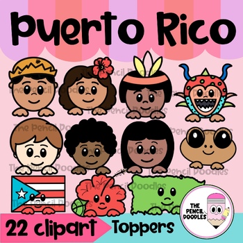
Puerto Rico Clipart Toppers - Clip Art Topes de Cultura Puertorriqueña
Celebra tus raíces puertorriqueñas con estos adorables clipart Toppers de Puerto Rico. Crea hermosos y llamativos recursos que representen la cultura puertorriqueña con estos clip art de topes que puedes utilizar para la Semana Puertorriqueña en actividades de lenguaje, escritura, matemáticas o para decorar tus ”bulletin boards”. Incluye 11 diseños, cada uno en blanco y negro y a color. 22 clip art en total.Imágenes incluídas:jibaritojibaritacoquíislabanderataínotaínaespañolafricanovejiganteflor
Grades:
Not Grade Specific
Also included in: Puerto Rico Clipart Bundle
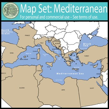
Map Clip Art: The Mediterranean Set {Messare Clips and Design}
This map set focuses on the Mediterranean Countries. This set contains 26 individual graphics/maps in the colors depicted. Each maps comes in black and white and color both with and without labels for widest application.
There are 8 maps that depicts the countries that share the Mediterranean coastline. The labeled states included in these maps are:
Spain
France
Italy
Slovenia
Croatia
Bosnia
Montenegro
Albania
Greece
Turkey
Cyprus
Egypt
Lebanon
Israel
Libya
Syria
Tunisia
Monaco
Morocco
See s
Grades:
Not Grade Specific
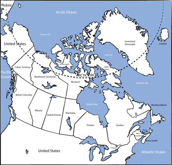
Map Clip Art: Canada and Canadian Province Set {Messare Clips and Design}
Sharpen your map skills!This map set of Canada is comprehensive, detailed and high resolution. This is a HUGE map collection that contains 51 individual graphics/maps matching the colors of other MCD Country Map sets. All basic color and black+white maps comes both in a labeled and non-labeled version.This set also breaks out each Canadian Province for ease of use both in a color and grayscale version. Note that the Province maps are all labeled versions and that no blank provincial callout map
Grades:
Not Grade Specific
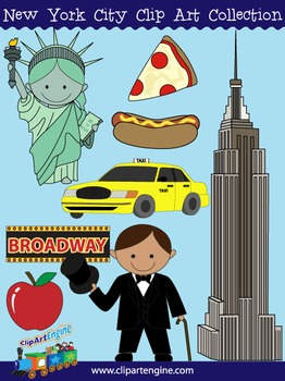
New York City Clip Art Collection
Our New York City Clip Art Collection has cute designs that will work great in a variety of projects. There are 16 graphics (8 in color, 8 in black and white) in this set. It includes a generous personal and commercial use license with no restrictions on how many times you can use the designs.The original graphics included in this collection of New York City clip art are a taxi, Statue of Liberty, Empire State Building, pizza, apple, hotdog, Broadway sign, and a boy in a tuxedo.Files You Will Re
Grades:
Not Grade Specific
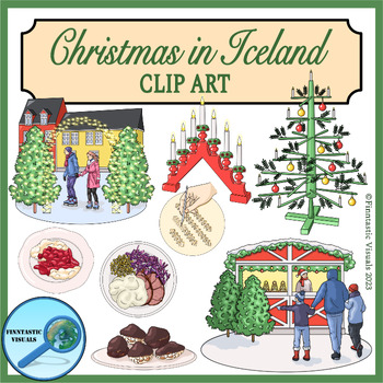
Christmas in Iceland Clip Art
Are you planning to create resources on Christmas around the world or Christmas in Scandinavia? This Christmas in Iceland clip art set will make your products stand out! The set includes 45 images (22 images as b/w and color versions + 1 extra color image). The images represent different aspects of Icelandic/Scandinavian Christmas traditions including food, decorations, traditions, activities etc.The clip art images included in this set are (color and b/w):- Traditional wooden Christmas tree- B
Grades:
Not Grade Specific
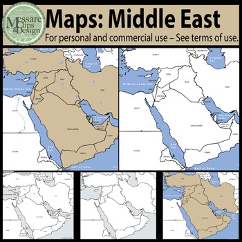
Map Clip Art: The Middle East Set {Messare Clips and Design}
This map set of the Middle East is comprehensive, detailed and in high resolution. This set contains 26 individual graphics/maps as depicted in the thumbnails. Each color and black and white map comes in blank with country borders and a matching labeled versions.
All maps can be scaled to 17 x 14 inches and retain their high print quality.
This set comes with one Tan Map with depicted major continental bodies of water as well as the matching black and white version.
Middle east countries in
Grades:
Not Grade Specific
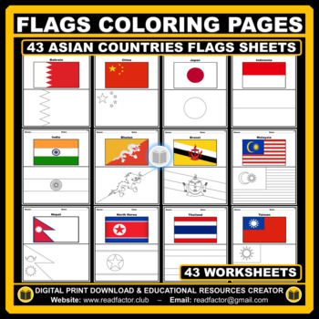
Asian Countries Flags Coloring Pages - 43 Worksheets
Let your kids or your class students Have fun learning about the countries of Asia with these flags coloring pages (Countries geographically located in Asia).HERE ARE SOME BENEFITS OF COLORING:1. Improves Motor Skills2. Prepares Them for School3. Stimulates Creativity4. Contributes to Better Handwriting5. Teaches Color Awareness, Recognition, and Discernment6. Improves Focus and Hand to Eye Coordination7. Helps Learn about Boundaries, Structure, and Spacial Awareness8. Improves Confidence and Se
Grades:
PreK - 6th
Also included in: Flags of the World BUNDLE Coloring Pages - 193 Worksheets
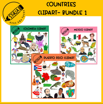
Countries Clipart Bundle 1
Let's celebrate Countries Clipart set. These sets of figures of Colombia, Mexico and Puerto Rico are perfect for creating activities that help your students to know more about the countries. This set contains 126 designs in total (63 in color and 63 in black and white)This set also has a high quality resolution to fit large and small sizes. This Countries Clipart Bundle 1 includes:Product SpecificationsPacked in a zipped folderAt 300 dpi (great for printing)You may also like:Mexican Singers Clip
Grades:
Not Grade Specific
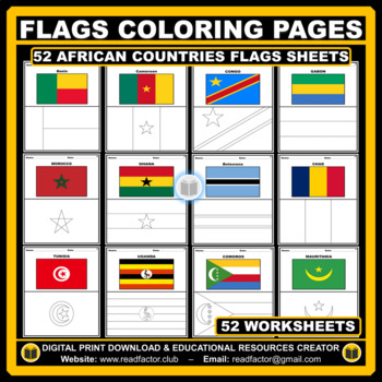
African Countries Flags Coloring Pages - 52 Worksheets
Let your kids or your class students Have fun learning about the countries of Africa with these flags coloring pages (52 countries geographically located in Africa).HERE ARE SOME BENEFITS OF COLORING:1. Improves Motor Skills2. Prepares Them for School3. Stimulates Creativity4. Contributes to Better Handwriting5. Teaches Color Awareness, Recognition, and Discernment6. Improves Focus and Hand to Eye Coordination7. Helps Learn about Boundaries, Structure, and Spacial Awareness8. Improves Confidence
Grades:
PreK - 6th
Also included in: Flags of the World BUNDLE Coloring Pages - 193 Worksheets
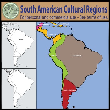
Map Clipart: South American Native Cultural Regions {Messare Clips and Design}
This South America, Native American Cultural Regions Map set contains 14 individual high resolution graphics/maps.
All maps can be scaled to 17 x 22 inches and retain their quality.
The set contains two black and white maps with identified regions. All maps come in a labeled and non-labeled version.
Regions Identified in the South America Native American Map Set:
Amazonian Region
Andean Region
Cono-Southern Region
Caribbean Region
Mesoamerican
See similar products:
Click to see the Nor
Grades:
PreK - 9th
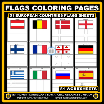
European Countries Flags Coloring Pages - 51 Worksheets
Let your kids or your class students Have fun learning about the countries of Europe with these flags coloring pages (51 countries geographically located in Europe).HERE ARE SOME BENEFITS OF COLORING:1. Improves Motor Skills2. Prepares Them for School3. Stimulates Creativity4. Contributes to Better Handwriting5. Teaches Color Awareness, Recognition, and Discernment6. Improves Focus and Hand to Eye Coordination7. Helps Learn about Boundaries, Structure, and Spacial Awareness8. Improves Confidence
Grades:
PreK - 6th
Also included in: Flags of the World BUNDLE Coloring Pages - 193 Worksheets
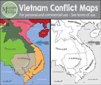
Map Clip Art: The Vietnam Conflict Map Set {Messare Clips and Design}
This is a high quality map set depicting the region of Vietnam during the Vietnam War era. This set contains 6 individual graphics/maps as depicted in the preview file.
If you have questions, or you're looking for additions or specific modifications to any MCD product please email me.
See similar products:
Click to see the Europe Sponsor Country Maps for the New World Explorers!
Click to see the Europe Map Set!
Click to see the full World Maps with Longitude and Latitude Overlays!
Click t
Grades:
Not Grade Specific

"Red Scarf Girl" - Chinese Culture Introduction Bundle
Google SlidesThis resource has a number of fun and engaging activities for students! Students who get to explore a variety of topics relating to Chinese culture. It gives students a lot of context and information to help them better understand the story of the "Red Scarf Girl". It also asks students questions about the story throughout these slides. My students had a blast with this activity, and I hope that your students do as well!Worksheet This worksheet asks students a series of questions th
Grades:
6th - 9th
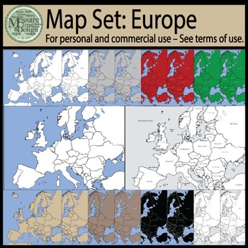
Map Clip Art: European Set {Messare Clips and Design}
This map set of Europe is comprehensive, detailed and high resolution. This set contains 16 individual graphics/maps in the colors depicted. Each color and black and white map comes in blank with country borders and a matching labeled version.
All maps can be scaled to 16 x 16 inches and retain their high print quality.
If you have questions, or you're looking for additions or specific modifications to any MCD product please email me.
See similar products:
a href="http://www.teacherspayteach
Grades:
Not Grade Specific
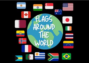
Flags Around The World- Jumbo Cards
Flags Around The World!!These Jumbo Cards contain 87 countries! Perfect for social studies and fun learning activities!!
Grades:
PreK - 12th, Higher Education, Adult Education
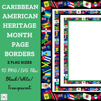
Caribbean American Heritage Month Flag Page Borders PNG/SVG
Caribbean American Heritage Month Flag Page Borders/Frames-Clip Art (24 Flags- 10 PNG/10 SVG files)The zip folder contains 10 Caribbean American Heritage Month flag borders-frames to use for your Caribbean Heritage Month (June) designs to create colorful documents. Display your documents digitally OR create and print with these beautiful frames with 24 Caribbean Island flags!The page borders-frames come in 2 flag sizes (small OR large flags) in white, transparent, and black. The small flag page
Grades:
Not Grade Specific
Also included in: Caribbean American Heritage Month Bulletin Board Decor BUNDLE
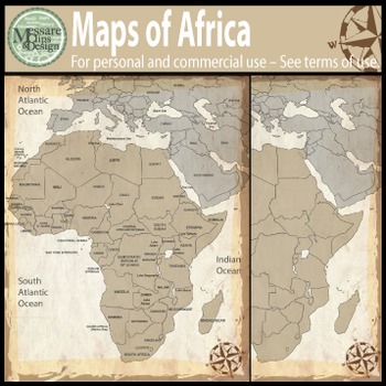
Map Clip Art: The Africa Map Set {Messare Clips and Design}
This map set of the Africa Map set is comprehensive, detailed and in high resolution. This set contains 24 individual graphics/maps as depicted in the thumbnails. Each color and black and white map comes in blank with country borders and a matching labeled versions.
All maps can be scaled to 17 x 21 inches and retain their high print quality. All map variations can be viewed in the thumbnails.
If you have questions, or you're looking for additions or specific modifications to any MCD product
Grades:
Not Grade Specific
Showing 1-24 of 107 results


