Types of Maps Map Features Skills Geography Posters Social Studies Assessment
- PDF
- Easel Activity
- Easel Assessment
What educators are saying
Also included in
- This maps and landforms bundle includes two sets of visual aids for teaching geography along with worksheets and topic assessments.INCLUDES:MAPS AND MAP FEATURESThis resource helps students learn about the different types of maps and common map features. It includes 17 visuals/posters plus a workshePrice $5.50Original Price $7.70Save $2.20
Description
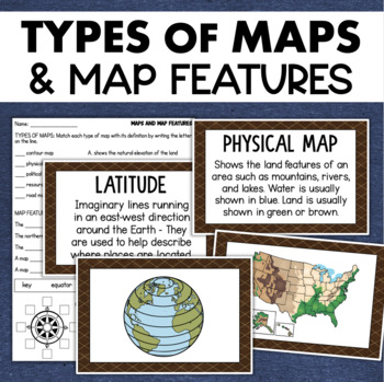
Students will learn about different types of maps and common map features with this social studies resource. It includes 17 visuals/posters plus a worksheet/assessment.
MAPS POSTERS
These can be kept together as a single page or cut apart into separate cards for display or a matching activity. The top of each card has the title and definition, and the bottom has a full-color illustration.
WORKSHEET
This activity requires students to match the types of maps to their purpose, know the function of various map features, and be able to identify cardinal and intermediate directions on a compass rose. Can be used an an assessment.
The types of maps and features included in this set are:
- compass rose
- key or legend
- scale
- cardinal directions
- intermediate directions
- physical map
- road map
- resource map
- political map
- contour map
- longitude
- latitude
- equator
- prime meridian
- poles
- northern hemisphere
- southern hemisphere
✅ Check out the PREVIEW to see what's included!
DIGITAL ACTIVITIES
This product is enabled as an Easel Activity, so you can assign it directly in your online learning platform. The worksheet has already been prepared with answer boxes for students to type into.
There is also a digital assessment with embedded text to speech audio that allows students to hear the questions read aloud. For more information on Easel Activities see this GETTING STARTED GUIDE.
✅ Don't forget to follow me to be notified about my weekly deals and when new products are added!


