21 results
Middle school geography resources for ActiveInspire Flipchart
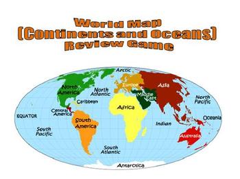
World Map (Continents and Oceans) Review Game - Promethean Flipchart
This 1-page Promethean flipchart helps students learn the location of the continents and oceans through a container game. Students can drag and drop continent and ocean names to their proper locations, with incorrect answers being "kicked" back. This flipchart can easily be used as a whole-group or small-group activity.
Subjects:
Grades:
1st - 8th
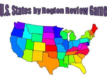
U.S. States by Region Review Game - Promethean Flipchart
This 5-page Promethean flipchart helps students learn the location of the 50 U.S. states by region through a container game. Students can drag and drop states to their proper locations, with incorrect states being "kicked" back. This flipchart can easily be used as a whole-group or small-group activity.
Grades:
3rd - 8th
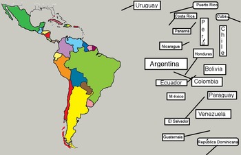
Latin American Countries and Capitals Interactive Promethean Board Activity
Países y capitales de Latinoamérica Interactive Promethean Board Activity by Lonnie Dai Zovi is an active board activity that gets students out of their seats as they learn and review the countries and their locations (moving the names to the country) and matching the capitals with their countries. The names of the countries are written in Spanish (with accents where needed). Of course the names are not that different so they are totally useable in an English speaking geography class. These
Subjects:
Grades:
4th - 10th
Weathering
Lesson about types of weathering. It includes how ice weathering, water weathering and wind weathering occur. It is interactive and has pictures and video links to engage all learning styles. A lesson the could prelude erosion. It has page notes to help the teacher with a suggested activity at the end.
Weathering by Mike Bailey is licensed under a Creative Commons Attribution 4.0 International License.
Subjects:
Grades:
2nd - 9th

Super Holidays Flipchart for Activ Board
This is a flipchart I have used for Christmas Around the World with my class. Each country has the following:
Map
Pictures
Current weather (click on the icon)
Facts-Santa, Cultural Figures, Foods, and traditions
**Please note, pictures are from google images and are linked to sites such as travel websites. Do not reproduce.
**Also it is important to stress that the information for each country is from research done from Santa Net, Travel websites for each country, personal narratives from teac
Grades:
1st - 10th
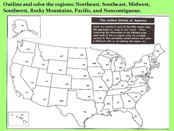
Geography & Expansion Guided Notes Flipchart
Guided notes for VA SOL's USII.2 and USII.4a; ActivInspire Flipchart. You must have Promethean Board software installed to open this file.Use this Flipchart to enhance your instruction of U.S. geography, westward expansion, and its impact on Native Americans. Students fill in blanks using word banks provided. Coordinating student interactive notes and bellringers also available for purchase in my store.Printable maps for U.S. regions and cities (slides 1-2) can be found here."Letter from Laura"
Grades:
6th - 8th
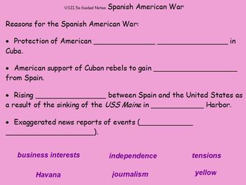
Spanish-American War, Roosevelt, WWI Guided Notes Flipchart
ActivInspire guided notes for VA SOL USII.5 covering Spanish-American War; Theodore Roosevelt; World War I. You must have Promethean Board software installed to open this file. Use this flipchart to enhance instruction of the late 1800's and early 1900's with photos, maps, and embedded links. Students fill in blanks using word banks provided -- coordinating notes available for purchase in my store.Explosion of the Maine (slides 3-5) lesson/materials can be found here.
Grades:
6th - 8th
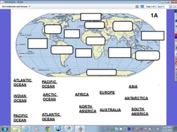
Continents and Oceans Assessment
This flipchart can be used as a formative or summative assessment. You can also use it as a computer lab activity.
If you like "Scavenger Hunt":
Fall Scavenger Hunt
Spring Scavenger Hunt
Leprechaun Scavenger Hunt
If you like "All About...":
All About Dinosaurs
All About Apples
All About Me
All About Leprechauns
***********************************************************
You might buy these items:
Printables - Math Activities Bundle #1
Printables - Math Activities Bundle #2
Printables - M
Subjects:
Grades:
1st - 6th, Staff
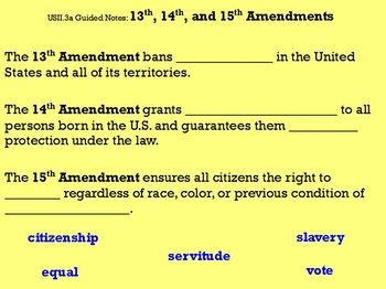
Reconstruction Guided Notes Flipchart
Guided notes for VA SOL's USII.3 and USII.4c; ActivInspire Flipchart. You need Promethean Board software installed to open this file.Use this flipchart to enhance your instruction of Reconstruction. Students fill in blanks using word banks provided. Coordinating student interactive notes and bellringers also available for purchase in my store.The Structured Academic Controversy materials (slides 1-2) can be found here.The Booker T. Washington vs. W.E.B. DuBois comparison (slide 18) can be found
Grades:
6th - 8th
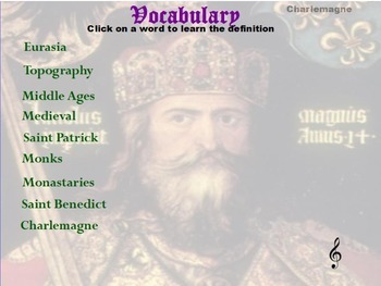
Medieval Europe Promethean Flipchart
This flipchart is designed for student use as a learning vehicle. Several Promethean tools are used to stimulate use and learning.
Subjects:
Grades:
5th - 8th
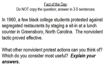
Civil Rights Bellringers Flipchart
Bellringer; warm-up question; ActivInspire; display on Promethean board; VA SOL USII.9; Civil Rights Movement; peacetime technologies; influential 20th-century people; modern foreign and domestic issues. These are a mix of short answer/journal questions, fill-in-the-blank, and matching. Answers can be hidden with reveal tool. Use at the beginning of class to activate prior knowledge or anticipate a lesson. In my class, I had students answer these on loose-leaf, then in a Google Doc when my s
Grades:
6th - 8th

Geography - Mt. Everest foldable flipchart
This flipchart gives instructions and a visual model for the Mt. Everest foldable activity. Students will have to use outside sources to collect general information about Mt. Everest (Elevations, Cost, Sherpas, etc.). On the foldable itself, students will draw/attach several pictures, create a timeline, and draw the locations of the climbing camps, among other things.
Subjects:
Grades:
8th - 12th

Hands on Map Building: China
Print out colorful images of physical and human features in China. Use the images to give students a better mental picture of what the various regions of China actually look like.
This is in the form of an activinspire flipchart
Grades:
5th - 8th
Types:

Geography Review
This flip chart can be used while you're going through your geography lesson or after when you would like to review for it.
The question is listed with the four answer choices. The answer is found in the "notes" section of the browser.
Grades:
4th - 6th

Region Diagram Project Flipchart
This flipchart presents the criteria for the region diagram. It presents the projects background story to make it authentic. It provides an outline for the project and a picture of the rubric.
Subjects:
Grades:
5th - 6th
Types:
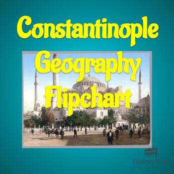
Byzantine Empire: Geography of Constantinople Flipchart
Active Inspire flipchart on VA SOL.8a: "The student will apply social science skills to understand the Byzantine Empire and Eastern Europe from about 300 to 1000 a.d. (c.e.) by a) explaining the influence of geography on the establishment of Constantinople as the capital of the Eastern Roman Empire and describing the Byzantine Empire in time and place"Includes 3 Mapping Activities and 1 Fill-in-the-blank activity.
Subjects:
Grades:
8th - 10th
Types:
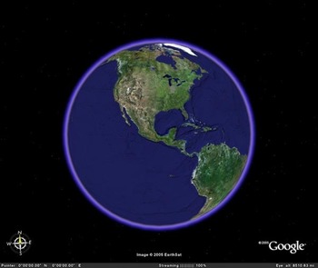
The World As Parts of a Circle : Autism Adapted Curriculum
Promethean Board Active Inspire Lesson. Students learn and demonstrate their understanding of the parts of a circle with Earth observed from space as the circular object. Students match Circumference, Center Point, Diameter, Chord, and radius using figures and then can label the figures.
Use for Earth Science, Geography and Math.
CREATED FOR MY 6th-8th GRADE CLASS SELF-CONTAINED STUDENTS WHO HAVE AUTISM / ADAPTED CURRICULUM
Subjects:
Grades:
4th - 8th
Types:
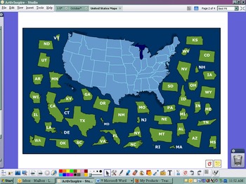
USA Postcard Exchange Flipchart
This flipchart was set up to use with the postcard exchange I signed up with. There is a US map with names and a US map puzzle. There is a link to the google maps that has all of our addresses around the US. Lastly, there is a postcard blank to model write what you are going to put on each postcard that you send out.
Subjects:
Grades:
PreK - 8th
Types:
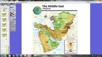
Middle East Geography Lesson
This is a Promethean Board ActivInspire geography lesson on the Middle East. The lesson encourages students to volunteer to be out of their seats and at the board. The yellow boxes indicate the action required at the board. This lesson also includes the Learner Response System (LRS). The LRS slides can be utilized with or without the actual devices.
Grades:
5th - 6th

l'Abbaye Notre Dame de Senanque: Lavender Fields of France
This flipchart lesson contains 7 slides of information about the Abbaye Notre-Dame de Senanque, the beautiful location in Southern France where monks grow fields of purple lavender.
I use these short "mini-lessons" to warm up my French classes in the first 10-15 minutes of the day. Students love seeing the colorful pictures and discussing the oddities of French culture! :)
The lesson includes:
1. KEY VOCAB (at least 6 words): french--english translations
2. CULTURAL LESSON ON THE LOCATION (2
Subjects:
Grades:
7th - 12th, Higher Education, Adult Education
Showing 1-21 of 21 results


