4 results
Geography posters for Easel Assessments

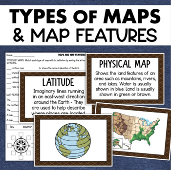
Types of Maps Map Features Skills Geography Posters Social Studies Assessment
Students will learn about different types of maps and common map features with this social studies resource. It includes 17 visuals/posters plus a worksheet/assessment.MAPS POSTERSThese can be kept together as a single page or cut apart into separate cards for display or a matching activity. The top of each card has the title and definition, and the bottom has a full-color illustration. WORKSHEETThis activity requires students to match the types of maps to their purpose, know the function of var
Subjects:
Grades:
3rd - 6th
Types:
Also included in: Geography Landforms & Bodies of Water Types of Maps Map Elements Posters

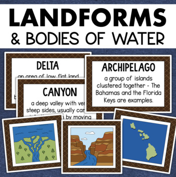
Landforms and Bodies of Water Posters Geography Skills Vocabulary Worksheet
Give your landforms and bodies of water unit a visual boost with this set of illustrated examples! Students will get to SEE what each landform or water body looks like and better understand their features.WHAT YOU WILL GETThis resource contains 24 visuals plus a digital assessment. Each page includes an illustration of the landform or body of water along with the title and definition. Includes:archipelagobaybeachbuttecanalcanyoncavecliffdeltaduneglacierhillislandisthmuslakemesamountainoceanpenin
Grades:
4th - 7th
Also included in: Geography Landforms & Bodies of Water Types of Maps Map Elements Posters

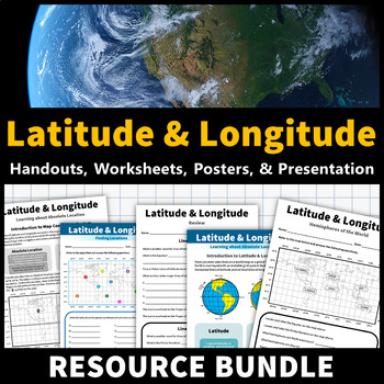
Latitude and Longitude Activities | Map Skills Worksheets Posters Presentation
Learning about latitude and longitude is fun and easy with this resource bundle! This ready-to-use no prep value bundle teaches students about latitude and longitude, the hemispheres of the world, major lines of latitude and longitude (Equator, Prime Meridian, Tropic of Cancer and Capricorn, Arctic and Antarctic Circle), and finding locations using geographic coordinates! This bundle includes: Four handouts introducing latitude and longitude, the world's hemispheres, absolute and relative locati
Grades:
5th - 9th
Types:
CCSS:

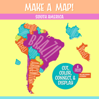
South America Geography Activity | Interactive Bulletin Board Continent Project
A South America map that you build as a giant wall map! This is a fantastic method to learn the South American countries. Both English and Spanish versions are included. When finished, you'll have a gorgeous map on display, clearly showing the South America countries. Your students can research a South American country, decorate each country, assemble the South American continent on your bulletin board or wall, and they will be all ready for a geography quiz.The finished map is HUGE: the contigu
Subjects:
Grades:
6th - 9th
CCSS:
NGSS:
MS-ESS2-3
, MS-LS2-2
, MS-ESS2-2
Showing 1-4 of 4 results


