14 results
Geography bulletin board ideas for Easel
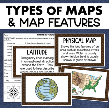
Types of Maps Map Features Skills Geography Posters Social Studies Assessment
Students will learn about different types of maps and common map features with this social studies resource. It includes 17 visuals/posters plus a worksheet/assessment.MAPS POSTERSThese can be kept together as a single page or cut apart into separate cards for display or a matching activity. The top of each card has the title and definition, and the bottom has a full-color illustration. WORKSHEETThis activity requires students to match the types of maps to their purpose, know the function of var
Subjects:
Grades:
3rd - 6th
Types:
Also included in: Geography Landforms & Bodies of Water Types of Maps Map Elements Posters
Continent Posters and Quiz
Included in this resource are ...
-7 continents posters
-2 color continent quizzes (one with word bank and one without)
-2 black and white quizzes (one with word bank and one without)
Enjoy!
Please follow my store for more great resources!
Grades:
1st - 5th
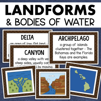
Landforms and Bodies of Water Posters Geography Skills Vocabulary Worksheet
Give your landforms and bodies of water unit a visual boost with this set of illustrated examples! Students will get to SEE what each landform or water body looks like and better understand their features.WHAT YOU WILL GETThis resource contains 24 visuals plus a digital assessment. Each page includes an illustration of the landform or body of water along with the title and definition. Includes:archipelagobaybeachbuttecanalcanyoncavecliffdeltaduneglacierhillislandisthmuslakemesamountainoceanpenin
Grades:
4th - 7th
Also included in: Geography Landforms & Bodies of Water Types of Maps Map Elements Posters
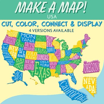
Interactive Bulletin Board United States Map Activity
Transform your classroom into a vibrant learning space with this Interactive Bulletin Board United States Map Activity. This engaging project invites students to actively participate in constructing a colossal wall map of the USA, fostering a collaborative and hands-on approach to learning United States geography. Assign each student a state and watch as the United States comes together, state by state, on your bulletin board! The finished map is an impressive 73 inches in length and 55 inches i
Grades:
4th - 7th
Also included in: USA Geography MEGA Bundle
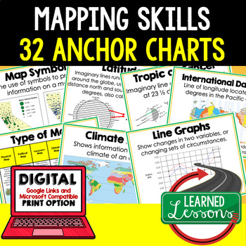
Mapping Skills Anchor Charts (World Geography Anchor Charts), Posters, Google
Mapping Skills Anchor Charts (Great as Bellringers, Word Walls, and Concept Boards), Mapping Skills Posters, Geography Review Pages, Digital Activity via Google Classroom This bundle will take your through the entire Geography curriculum. It will include all components of Geography. This is perfect for traveling around the world in style. THIS IS ALSO PART OF World Geography MEGA BUNDLE, Mapping Skills BUNDLE, Geography ANCHOR CHART BUNDLE Anchor charts are great for representing the topics
Grades:
6th - 12th
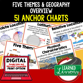
Five Themes of Geography Anchor Charts (World Geography Anchor Charts), Posters
Five Themes and Geography Anchor Charts (Great as Bellringers, Word Walls, and Concept Boards), Five Themes Posters, Geography Review Pages, Google Classroom, Print & Digital Distance Learning This bundle will take your through the entire Geography curriculum. It will include all components of Geography. This is perfect for traveling around the world in style. THIS IS ALSO PART OF World Geography MEGA BUNDLE, Five Themes BUNDLE, Geography ANCHOR CHART BUNDLE Anchor charts are great for
Grades:
6th - 12th
Types:
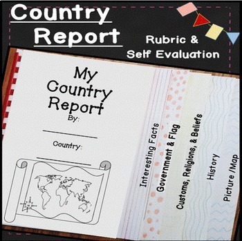
Country Research Projects Template | Countries Around the World | Country Report
Make learning about other countries exciting with this easy to use country report! Students will explore other cultures around the world with these open-ended research pages and create a 6 page flip book country research project. I've included directions, country report blacklines, a country report rubric, and a student self evaluation. Everything you need to teach and organize country reports is included in this time-saving unit!✅ What's included: ✅interesting factsgovernment and the flagcustom
Subjects:
Grades:
4th - 7th
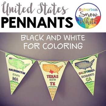
5 Regions of the United States Map | Pennants Banners |
Grab this gorgeous, welcoming, and instructive decoration for your classroom or hallways! Feast your eyes on the Preview to see all the goodies you get!People who have purchased this product have said ..."My students loved decorating these and they made for a great decoration for our hallway!""Cannot say enough positive things about this resource. These flags are the most beautiful addition to our classroom, the kids had so much fun decorating them, and they are constantly referring to them when
Subjects:
Grades:
4th - 5th
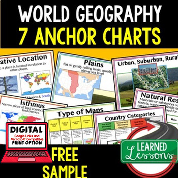
Geography Anchor Charts Sampler Free, World Geography Posters
Geography Free Anchor Charts (Great as Bellringers, Word Walls, and Concept Boards)(Great as Bellringers, Word Walls, and Concept Boards), Mapping Skills Posters, Geography Review Pages, Digital Activity via Google Classroom This bundle will take your through the entire Geography curriculum. It will include all components of Geography. This is perfect for traveling around the world in style. Sign up for email updates and follow me on TPT for updates.Anchor charts are great for representing
Grades:
6th - 12th
Types:
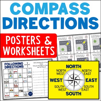
Directional Terms Compass Posters & Ordinal & Cardinal Directions Worksheets
Do your students need help with learning directional terms and following directions? These compass rose posters and ordinal and cardinal directions worksheets included can help! The range of compass direction activities include cut and paste compass roses, task cards, and town map activities. This is a great resource for Grades 2 and 3.Learning about the compass rose and ordinal and cardinal directions is an important skill for students. It opens up the chance for lots of fun and engaging mappin
Subjects:
Grades:
2nd - 4th
CCSS:
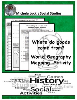
Where do goods come from? Geography Mapping & Bulletin Board Activity
Start off the school year or any Geography or World Cultures unit with this Student Investigation & Bulletin Board Mapping Activity.Students will investigate where products come from in the classroom and outside, evaluating the global product exchange and Geography Movement theme. Following their investigations, students will share the information to create a bulletin board showing our world exchanges.Resource IncludesStudent HandoutsTeacher Activity DirectionsOptions for additional activit
Grades:
4th - 10th
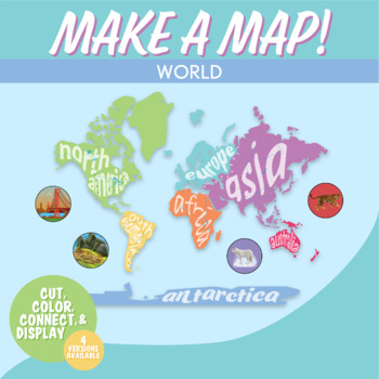
World Map Interactive Bulletin Board Geography Activity | Continents Wall Map
Students love learning the continents and oceans of the world with this hands-on map activity. This is a world geography activity in which kids cut out and decorate the continents, and then piece them together to form a world map on your bulletin board or wall!Clear directions are included with a unique numbered tab system to easily show how to connect continents. Create the map on a bulletin board or wall. This is fantastic for world geography lessons and history and world map projects.Included
Grades:
5th - 8th
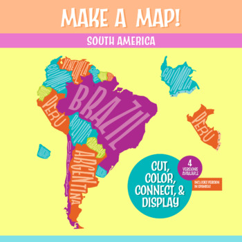
South America Geography Activity | Interactive Bulletin Board Continent Project
A South America map that you build as a giant wall map! This is a fantastic method to learn the South American countries. Both English and Spanish versions are included. When finished, you'll have a gorgeous map on display, clearly showing the South America countries. Your students can research a South American country, decorate each country, assemble the South American continent on your bulletin board or wall, and they will be all ready for a geography quiz.The finished map is HUGE: the contigu
Subjects:
Grades:
6th - 9th
CCSS:
NGSS:
MS-ESS2-3
, MS-LS2-2
, MS-ESS2-2
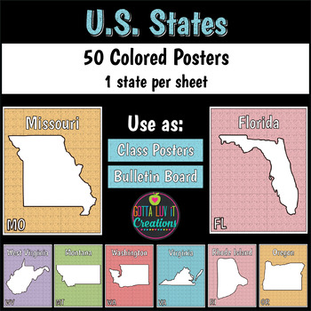
50 States Colored Posters for Classroom
50 States colored pages perfect to hang up on the walls, decorate the bulletin board, or laminate and hang up in the hall. 1 PDF containing the 50 states. 8.5x11300 DPINo prep! Read to print or assign using TPT Digital and Google Classroom.This is a TPT digital activity to be delivered via Google Classroom (+ PDF). Updated to a TPT Digital Activity for Google Classroom and Distance Learning. Receive both a printable PDF and TPT Digital Activity for Google Classroom when you purchase. Want
Subjects:
Grades:
4th - 5th
Types:
Also included in: 50 States Bundle
Showing 1-14 of 14 results


