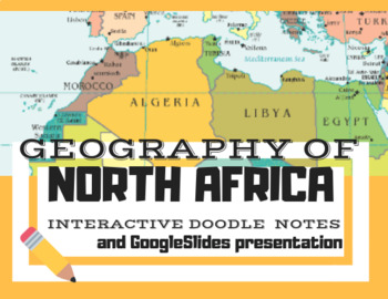
Geography of North Africa--Interactive DoodleNotes and GoogleSlides
HIST EO GEO
76 Followers
Grade Levels
5th - 11th
Resource Type
Formats Included
- Zip
- Google Apps™
Pages
44 pages
HIST EO GEO
76 Followers

Includes Google Apps™
The Teacher-Author indicated this resource includes assets from Google Workspace (e.g. docs, slides, etc.).
Description
Through this interactive guided-note activity, students will be learning about the geography of North Africa including the countries of Western Sahara, Morocco, Algeria, Tunisia, Libya, and Egypt.
Through this lesson, students will experience the geography of North Africa through a mix of concrete notes, YouTube videos, and creating 'doodles' over key concepts that will be provided through the Doodle Notes worksheet!
Some of the key concepts covered are...
- Countries that border the Mediterranean Sea
- The Sahara desert and cool facts about it
- Sandstorms and their conditions
- Oasis--water in the desert
- Atlas Mountains
- Nile River and the Nile River delta
- Sinai Peninsula
- North Africa nomads--The Tuareg peoples of North Africa
- Urbanization--Cairo, Egypt, overcrowding
- Aswan High Dam--positive and negative effects
- Lake Nasser
- Malaria--with cool video on the basics
- Overgrazing and desertification
- The Suez Canal and its history
- Key natural resources
There are teacher instructions and keys included in the GoogleSlides presentation! Enjoy!
Total Pages
44 pages
Answer Key
Included
Teaching Duration
55 minutes
Report this resource to TPT
Reported resources will be reviewed by our team. Report this resource to let us know if this resource violates TPT’s content guidelines.


